the Ironton Railroad

Amazing, I love the snow and detail! I think the The old passenger car could be replaced by the one of the "derelict" items (I think it was "derelict baggage car" or something)
If i was modeling 2010, i would definitely use the derelict model.

This is what it looked like just a few years ago...
pictures%5C86559%5CIRR2%20(18).JPG


In the 40's it was still quite usable.
 

An overview shot showing some recent work at Egypt Yard and the Giant Portland Cement, Central Mill. There were once four mills at this location. The old Central mill is the last one in operation, and has only a year left before it too shuts down, leaving only 3 mills remaining on the railroad (although they are all larger and much more modern). Today this area is a township park, with trails winding through the now forested area, which of course is interspersed with ruins of the old mills (and the whole place is kind of creepy :o).


A close in view of the baghouse. Covered hoppers were just coming onto the railroad scene at this time, but the Central Mill, with its older kiln design, continued to load exclusively bagged cement into boxcars.
 
Indeed ... I learn much from examining these routes ... not since the "Down East Fishing Village" by GFisher, have I seen such a route so full of realism !
 
..... < insert superlative here > .....

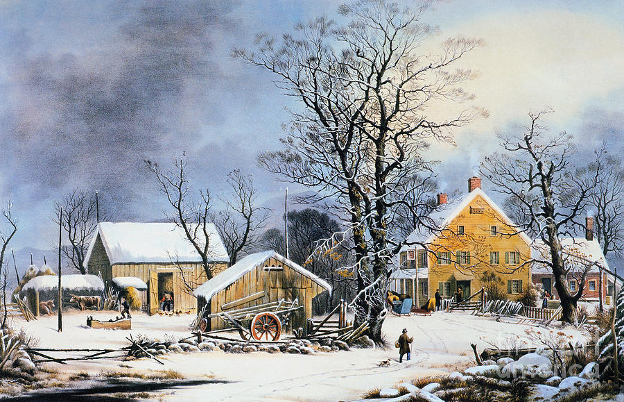
Wow, beautiful - like a Currier & Ives panting.

3-currier-ives-winter-scene-granger.jpg


Mark
I'm sort of trying to go for that look in places :D. You'll laugh if you find out what inspired me to do the route though.

Anyway, i got a ton of work done this weekend. I now have the *most* of trackwork in place that appears in this map: http://himedo.net/TheHopkinThomasPr...asauquaIndustries/Railroads/CatasauquaRR.html
(just the stuff on the west side of the river, i'm not that crazy!)

Unfortunately i didn't take any pictures, and none of the area is ready enough for public shots, so i'll have to leave you guys with a few older ones for now...


Another shot of Egypt Yard and the old Central Mill.


A train approaching the village of Pennsylvania Mills (named because it was next to and setup because of the 4 cement mills right here). With the closure of the mills, most the inhabitants moved out, and many of the homes and buildings were reclaimed by nature with much of this area now being a forest.
 
Last edited:
Nice....Look forward to seeing this area completed as, needless to say, it is an area that should be appearing in my own LV route (but, currently bogged-down working on Allentown area).

Regards,
Mark
 
Exceptional route building Josh!!,looking forward to seeing more of this super-detailed masterpiece you have nailed the look and feel of the place very well.
 
Nice....Look forward to seeing this area completed as, needless to say, it is an area that should be appearing in my own LV route (but, currently bogged-down working on Allentown area).

Regards,
Mark
Thanks Mark, I've been eagerly watching your route ever since i can remember. Build north to Catty! Then maybe one day we can connect. :)

Not the same DEM as the lehigh & Ironton is it? some scenes look awful familiar... Great stuff Josh!

-Will
Lol, it is. Click me -->
I just started mass replacing modern stuff with older stuff, and summer with winter. Virtually all of the track was ripped out and rebuilt, and of course lots of housing developments just got deleted and turned back into farm fields. That picture is "fictional" Laurys Station. Some of the items in the picture didn't get replaced as any extra areas like this will be deleted before the route is released.

Hehe cool stuff. I had a lot of fun with that route, don't know what happened to the version i had been playing with... some great scenes on it with a lot of potential. must try and dig it up for another look. keep up the good work!

- Will:)
 
One shot before i head out for Thanksgiving. :)


Chugging along, just outside of Ormrod, PA.

Have a great holiday to those that celebrate it, and a great weekend to everyone else!
 
Haven't posted anything in a while but i assure you i'm still hammering away at this route. Did a ton of area since last time, but only a small amount is ready for screenshots.

Anyway, here are some of the latest... :)


A quiet snowy morning at Egypt Yard (ok this is an older shot :P).


An cozy farm on the Catasauqua Branch. In about a year the farmer will be forced to move as this farm is in the path of a new highway (Rt. 145). The barn features AngelC's new "PA Dutch Hex signs", which look great in game. :)


A train has just crested "the Summit" and approaches Fort Jct. (see next pic for explanation) where the Catasauqua Branch meets the mainline.


Looking the opposite direction. Giant Cement's Central Mill is on the left. The sturdy stone building to the right of the caboose is Fort Deshler, a large stone blockhouse built in 1760 to protect the local colonists from Indian raids during the French & Indian War. It was also destroyed when Rt. 145 was built in 1941. The fort gave the junction it's name, and it was a proud landmark along the Ironton Railroad until its demise.


Looking east near Ormrod. The bridge to the left carried the spur to the Lehigh Portland Cement Mill A, the first of four mills to be built (1898) and abandoned (1927) in Ormrod.
 
Last edited:
And now for a couple bonus Work-in-Progress shots...


The southern end of the railroad. This is Catasauqua, PA (well actually Catty was across the river but don't tell the Lehigh Valley RR or the Reading ;)). The four tracks on the left are the Lehigh Valley's mainline. The tracks curving off to the right lead to Biery Yard, where interchange between the IRR and LVRR took place. Closer to the green truss bridge were tracks of the Reading Railroad and the Lehigh & New England. Catty was an extremely busy place in the steam era. Most of the Reading tracks are not in yet in this picture.


An extremely early shot of the Giant Cement Company Reliance Mill, one of two much more modern mills on the line, and the largest. The Reliance Mill operated for 65 years, from 1905 to 1970, and is still under ownership of an international cement company (Essroc i believe). Rumors of plans to revive the plant would occasionally pop up, and the area was kept in relatively good condition, but sadly demolition finally began this year on some of the buildings. Much of the New York City Subway was built from cement from this and the neighboring plants.
 
Screenshots continued...

I forgot to turn the snow on, but oh well. :p


The crest of "the Summit" at Coplay. The town is out of view to the left.


Looking the opposite direction. The mill on the left is the second of the modern mills and i haven't really started it yet either, just plopped down buildings in the general area. The bridge here originally carried the trolley tracks of the Lehigh Valley Transit Company, which would have been removed on this section just a few years prior (1930's sometime i think).


Coming down the Summit. The Catasauqua Branch and Fort siding are in the foreground.


Coming through the village of Pennsylvania Mills. The small pine trees here (which haven't been properly arranged yet) are now (as in 2013) as tall as the silos on the right.


Rounding the long upgrade curve past Kohler's Coal yard at Egypt, PA.
 
Back
Top