schweitzerdude
Active member
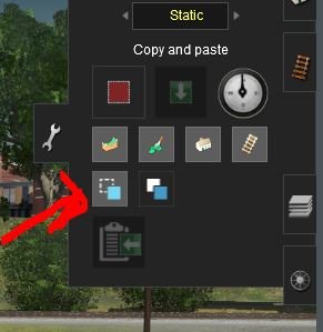
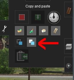
I have been playing around with using the grey scale (or displacements) feature to quickly create mountainous terrain. Some of you may not know that you can create (and save) your own grey scales within Surveyor by building a small scale model of a mountain somewhere off to the side, then select, get displacement, play with the rotation and displacement scale, and finally select and fill area. These mountains will not be very detailed but for background terrain or for a quick start to more detailed manually-adjusted terrain, it's useful. Now for the question: At the maximum displacement scale, you can't go much over 300 meters in height. So say I want to uniformly raise an area of terrain by 100m, I create an area off to the side at 100m elevation. Then select a rectangular area of this 100m terrain in tools, then select the area that you want to raise 100m, paste height, with the add-height option selected instead of the default replace-height option, and I should see this terrain uniformly raised by 100m. But when I do this, it only increases by a small amount in elevation (less than 1m) each mouse click. Anyone have a solution or can tell me what I am doing wrong?


