tlowthion1
South London Engineer
Hey all;
As some of you may be aware, I was developing a route based on the old Strathspey Railway in North East Scotland; however, it was all lost in a terrible hardware-related accident. I have been slow at restarting work on the SSR, but have finally started putting things together.
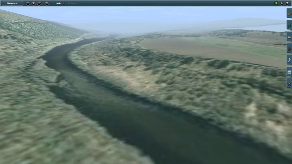
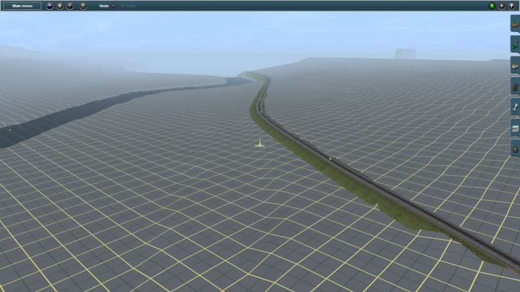
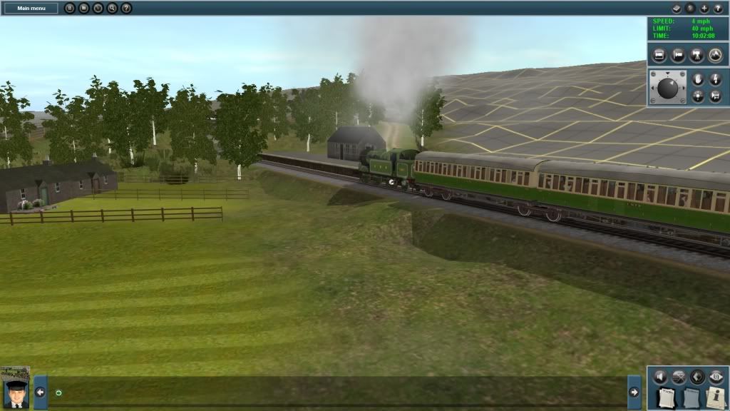
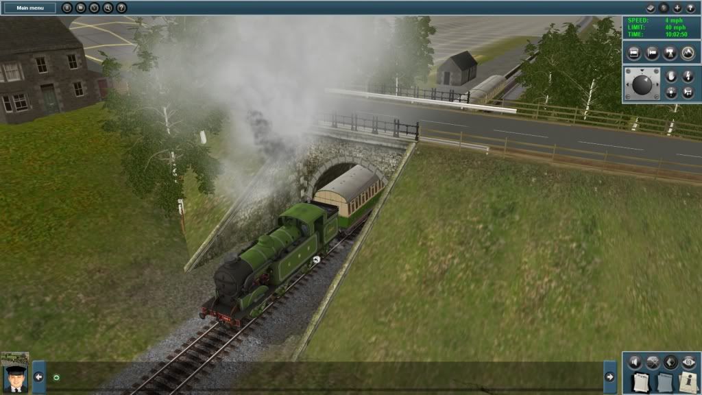
I am currently working on the section from Advie to Carron: I believe this is one of the most interresting stretches of the line, featuring several distilleries and two bridges over the Spey, as well as a number of stations, halts and industrial branchlines. I have been using the new TMIX system to export 3d google-earth maps into trainz (via sketchup) to use as base-maps. This has produced much more accurate terrain modelling. I also intend to model the stations and structures of the SSR using sketchup, and release these on the DLS with the model.
I am sorry to say that since I am back at uni for the next 2 years, it is unlikely the route will be finished any time soon, however, I intend to release intermediate versions of the route as they are completed, so that you can all enjoy it!
The original work can be seen here http://forums.auran.com/trainz/show...am-Waterloo-amp-Speyside-Models-by-tlowthion4. I am largely going to copy my old work where possible.
Stay tuned; I will need lots of good recommendations for DLS content to use on the route, which is pimarily why I have started this thread.
Tom
As some of you may be aware, I was developing a route based on the old Strathspey Railway in North East Scotland; however, it was all lost in a terrible hardware-related accident. I have been slow at restarting work on the SSR, but have finally started putting things together.
I am currently working on the section from Advie to Carron: I believe this is one of the most interresting stretches of the line, featuring several distilleries and two bridges over the Spey, as well as a number of stations, halts and industrial branchlines. I have been using the new TMIX system to export 3d google-earth maps into trainz (via sketchup) to use as base-maps. This has produced much more accurate terrain modelling. I also intend to model the stations and structures of the SSR using sketchup, and release these on the DLS with the model.
I am sorry to say that since I am back at uni for the next 2 years, it is unlikely the route will be finished any time soon, however, I intend to release intermediate versions of the route as they are completed, so that you can all enjoy it!
The original work can be seen here http://forums.auran.com/trainz/show...am-Waterloo-amp-Speyside-Models-by-tlowthion4. I am largely going to copy my old work where possible.
Stay tuned; I will need lots of good recommendations for DLS content to use on the route, which is pimarily why I have started this thread.
Tom
") are soon to be joined by a new batch and some bridges).
are soon to be joined by a new batch and some bridges).