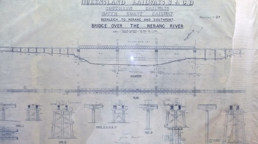
Michael, over on another thread recently you wrote; Manly was equipped with a 60ft Cowan Sheldon Patterned Turntable
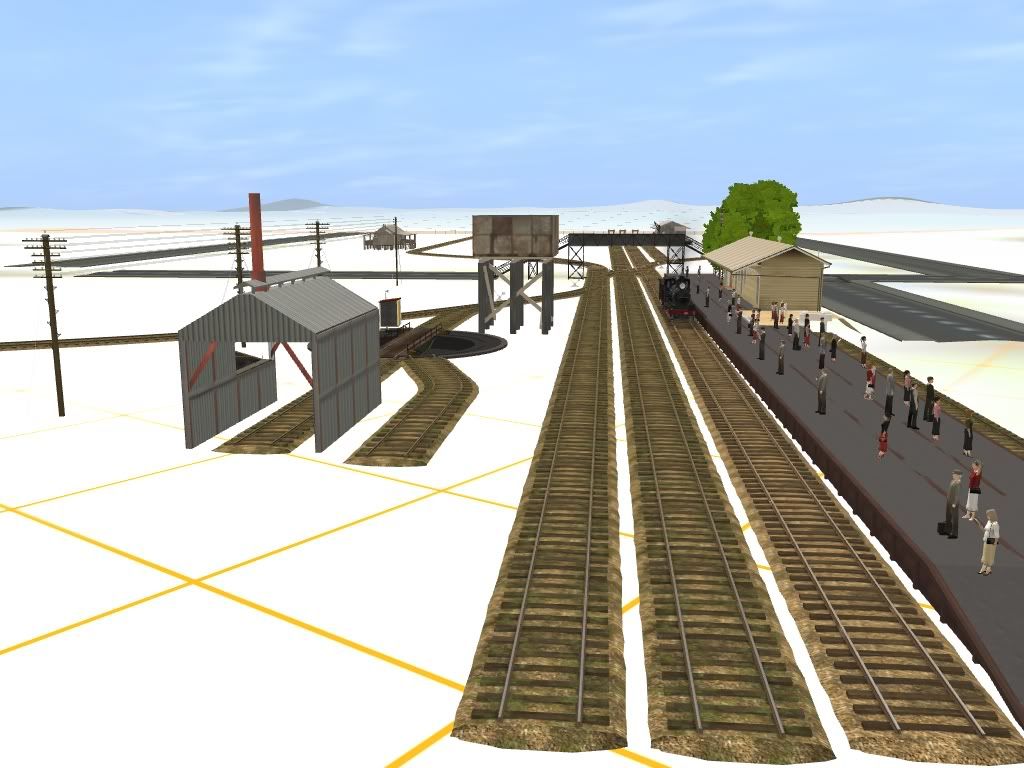
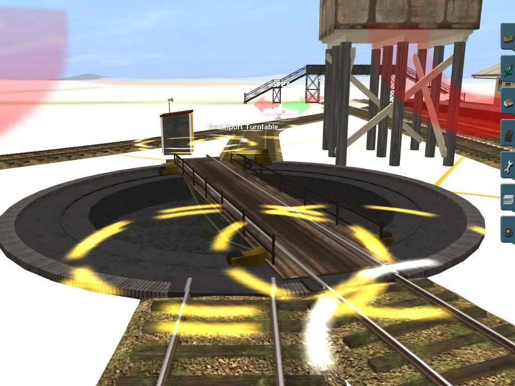
I replied; Manly's turntable was a 58 foot air operated turntable, which is a different length to the 60 foot data you wrote. Brian Webber also says 58 foot in that book you quoted P.59. Track plans with turntable lengths listed ARHS Bulletin July 1964 P.123.
Did your research of a QR document state Manly had a 60ft Cowan Sheldon Patterned Turntable? If so, can you email me a copy of that QR document or scan an A4 sized section that refers to that fact, please? The reason I ask is more in relation to your statement that some offical diagrams that you have come across do not reflect the area of the Ernest Junction tunnel. Official clerks have made mistakes on documents before so I am investigating your problem about that tunnel document as well as Manly matters.
Or is the QR document problem just the fact that they are in "engineers code" and difficult for non engineers such as you and I to decipher? I myself earlier had to ask an engineer to explain some parts of similar QR documents?
A good example of a clerk making a mistake is Moreton Bay near Brisbane. Cook named it Morton Bay after James, the 14th Earl of Morton. Note the lack of the letter "e". The clerk who copied the map back in England is apparently the one who introduced the extra letter. http://en.wikipedia.org/wiki/Moreton_Bay
So Michael, was the Manly turntable data you quoted off an official QR document and if so, can you give the name of that document? Of course, there probably is no 58 foot air operated turntable in trainz so another compromise has to be made anyway.
Cheers
Peter C