Point of interest on the new route.

greywolfretired

New member
Not finished yet but will be a point of interest on the route. The grade around the canyon is 1.5


greywolfretired20100401.jpg


greywolfretired20100401b.jpg


greywolfretired20100401.jpg


greywolfretired20100401.jpg


greywolfretired20100401.jpg
 
Bobcass_20100315_0006.jpg


Hi greywolfretired: Your gettin a good start on your layout,looking good..I would like to share a shot of my layout called Appalachia,Appalachian Mts East Coast..
 
Last edited:
Creative input on creating realistic terrain

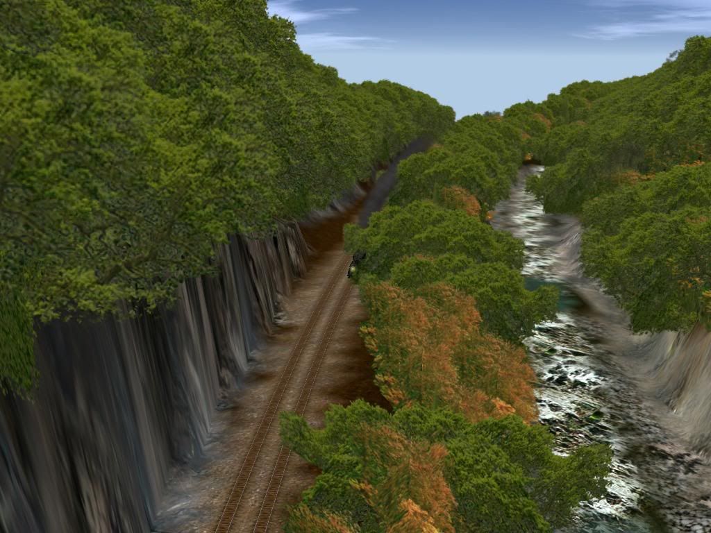
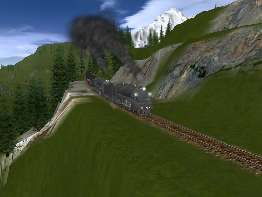
Creating realistic terrain is somewhat difficult...mountains were pushed up by forces in the earth, eons ago...rivers cut channels and gaps in the mountains...RR's usually followed the path of least gradient: criss crossing the "Rivers".

Laying track first, usually results in terrain that has rivers flowing uphill, and canyons that don't look like they were cut by rivers or glaciers. Most mountains in the US are in actuallity big, low rolling hills. Only the Swiss Alps, Canada, China, and Bryce Canyon...etc...etc... have jagged pointy peaks.
 
Last edited:
I totally agree with Cascade's point of view. All too often Trainzers (and other sim users) prefer to put the track in first and then add the terrain later, almost as an afterthought. It is more difficult doing it the other way round, but the results are worth it.

Best wishes,
Padster
 
Sorry Cascaderailroad,I'm not sure what your point was. As my route does not have a river yet but is ficticious, I am using different parts of natural landscapes that I have seen in person to add interest to my routes. My canyon here reminds me of Horseshoe canyon in alberta.
In some places I do the landscape first then add the railroad. It makes building the route more interesting.
Thanks for your comments though as any comment on any subject always generates a discussion.


There are some places that don't fit into the norm of canyons being formed by glaciers pushing through etc. Horseshoe canyon near the badlands in southeastern Alberta on the flat prairie, is an horseshoe shaped hole in the ground . There are quite a few web sites on this. I'll add a link.http://images.google.ca/images?hl=en&q=horseshoe+canyon+alberta&um=1&ie=UTF-8&ei=1qy0S667OJXwMrHb1OoD&sa=X&oi=image_result_group&ct=title&resnum=4&ved=0CBgQsAQwAw
 
Cascade has obviously never been out west. The terrain forms that GreyWolf has made look very similar to the Garden of the Gods, and other similar land forms. These are sandstone landforms that were created when the rockys were pushed up. Erosion has shaped them a bit.

As for why the mountains that you are thinking of are rounded, that is due to the fact that they are older and eroded alot more.

That is the Garden of the Gods. It is similar to what GreyWolf has created, like I was saying. There are also sections of the desert of Arizona that look like that due to Mesas being carved by sand and wind.
http://www.bing.com/maps/explore/?org=aj&FORM=Z9LH7#/qpd87w4y2yws4jjb
 
Bobcass201003600002.jpg


Here is a shot from my current layout, I'M like you I don't think cascade has out west..Coming down from little pass is the name of shot..Besides all the moutains around this area are all jagged.. Bob Cass
 
Last edited:
Back
Top