Hi everyone
I get asked fairly often about the South Coast project so I thought I'd make a thread for it.
This project is a very successful partnership between myself and the very talented Grazlash.
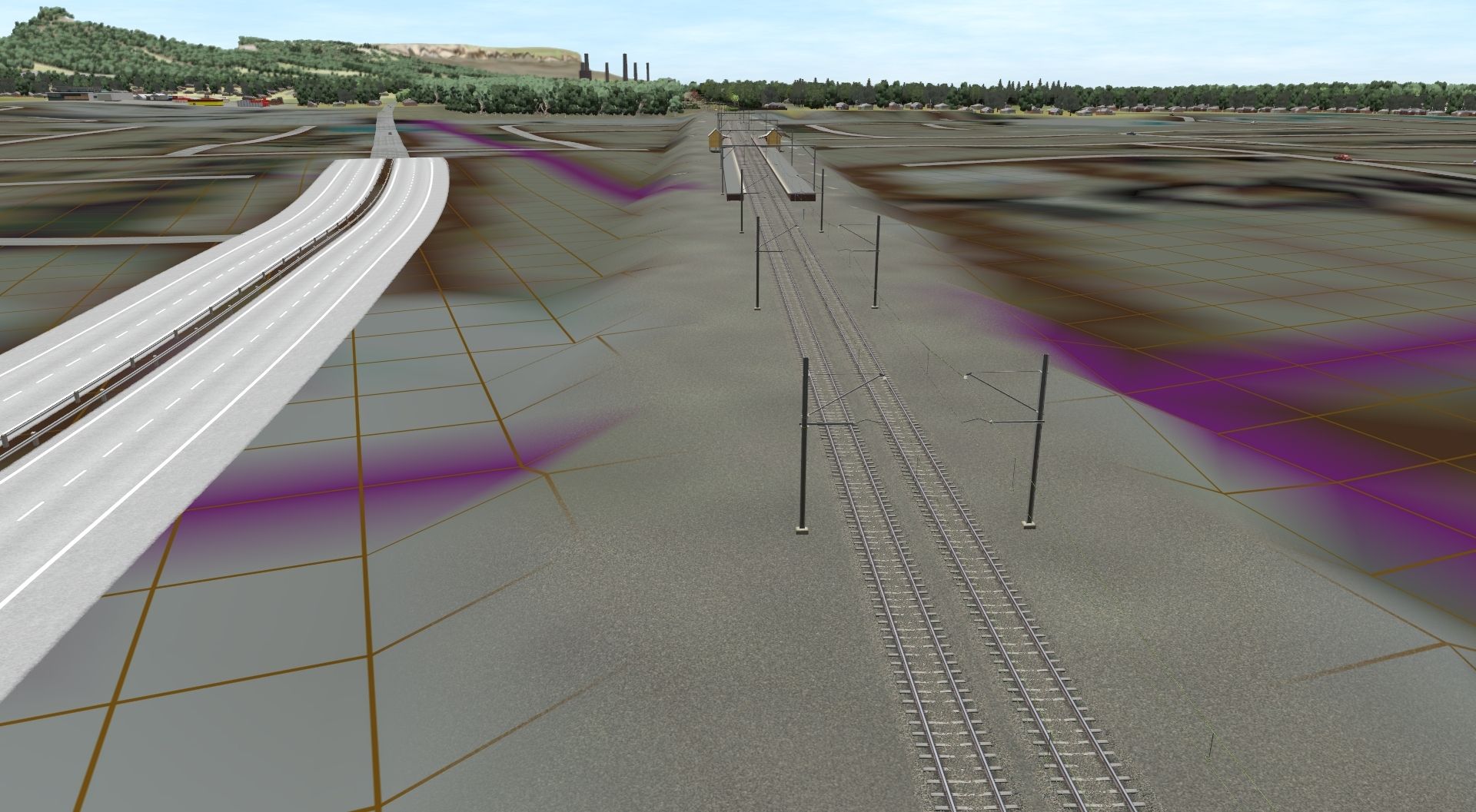
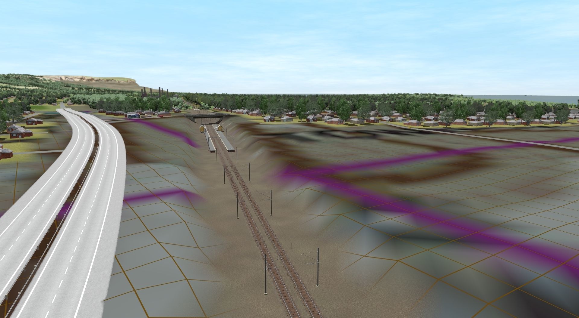
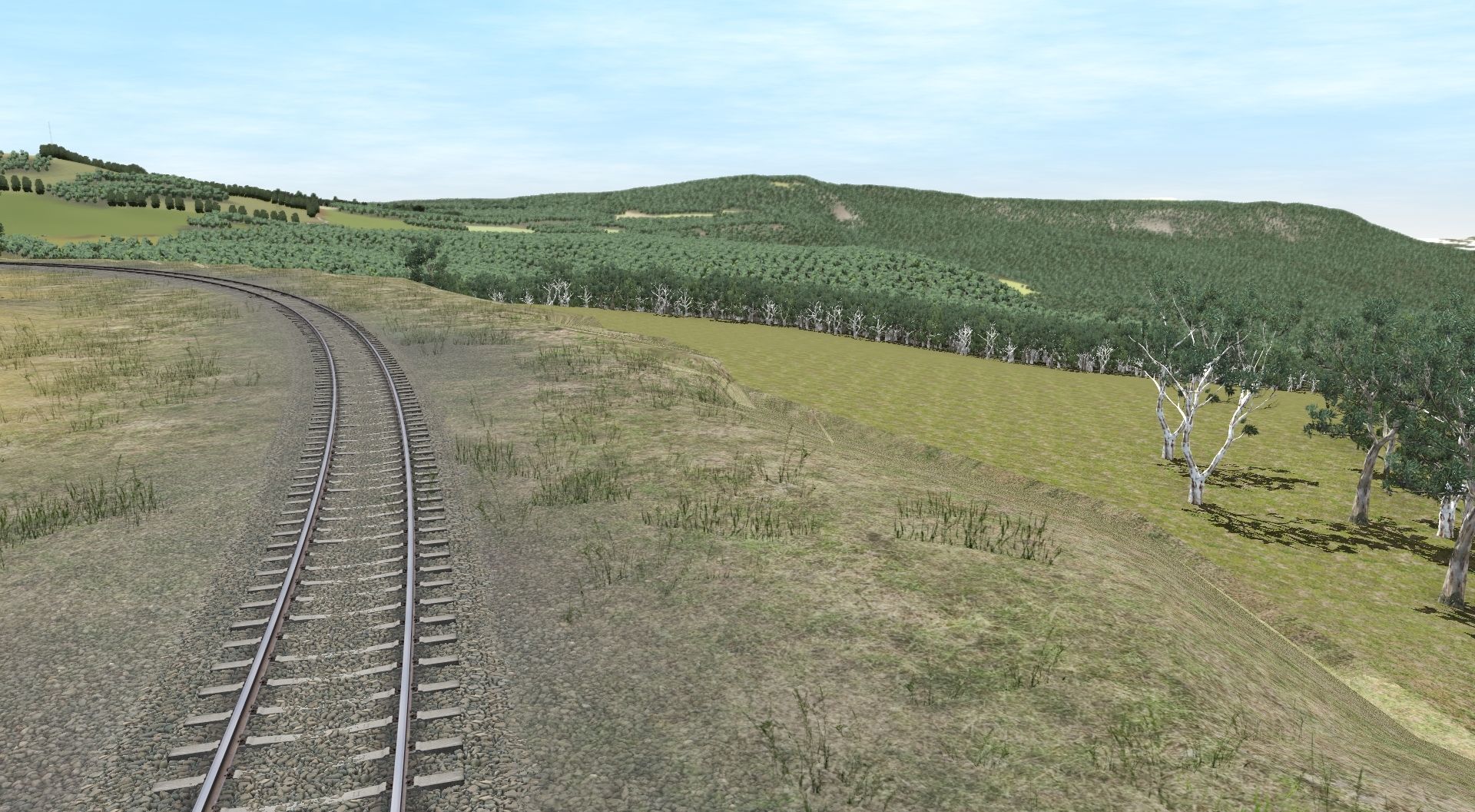
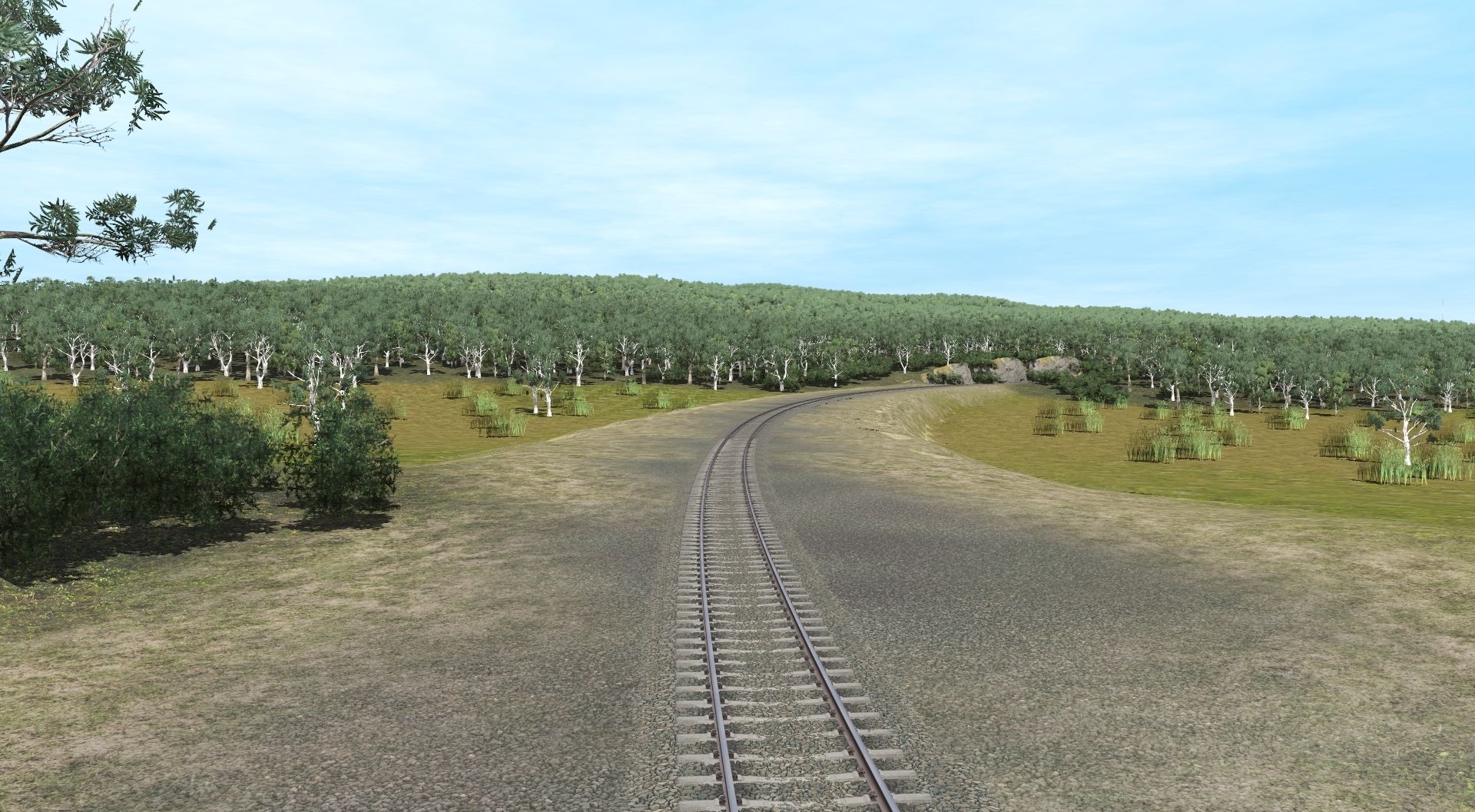
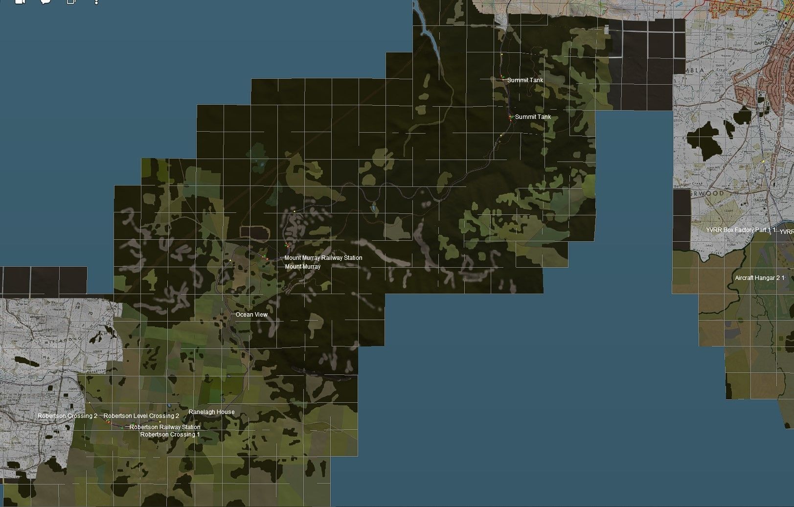
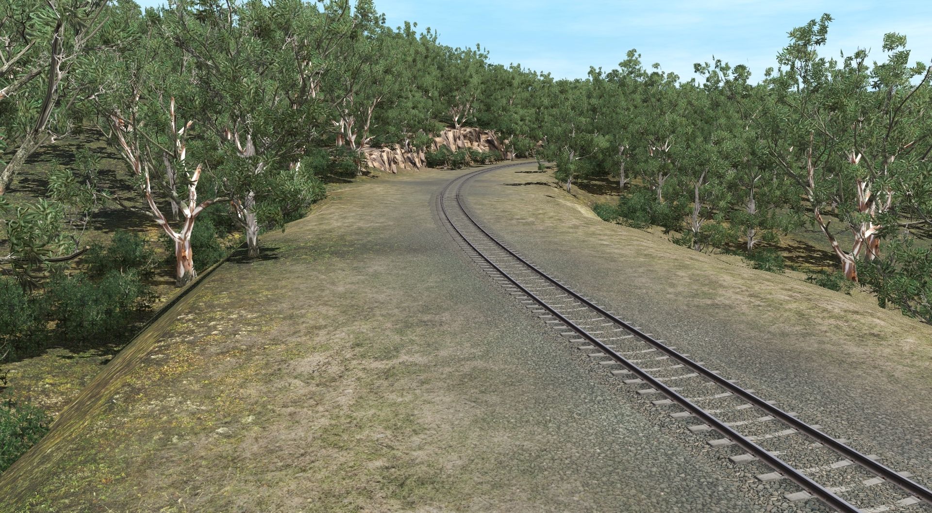
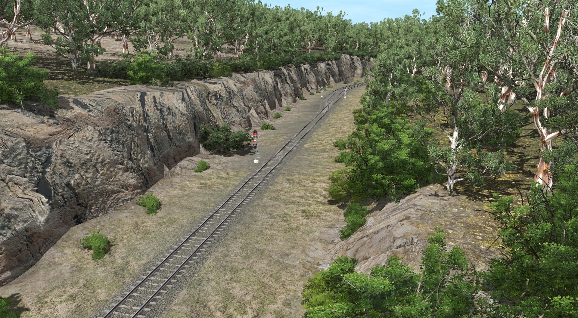
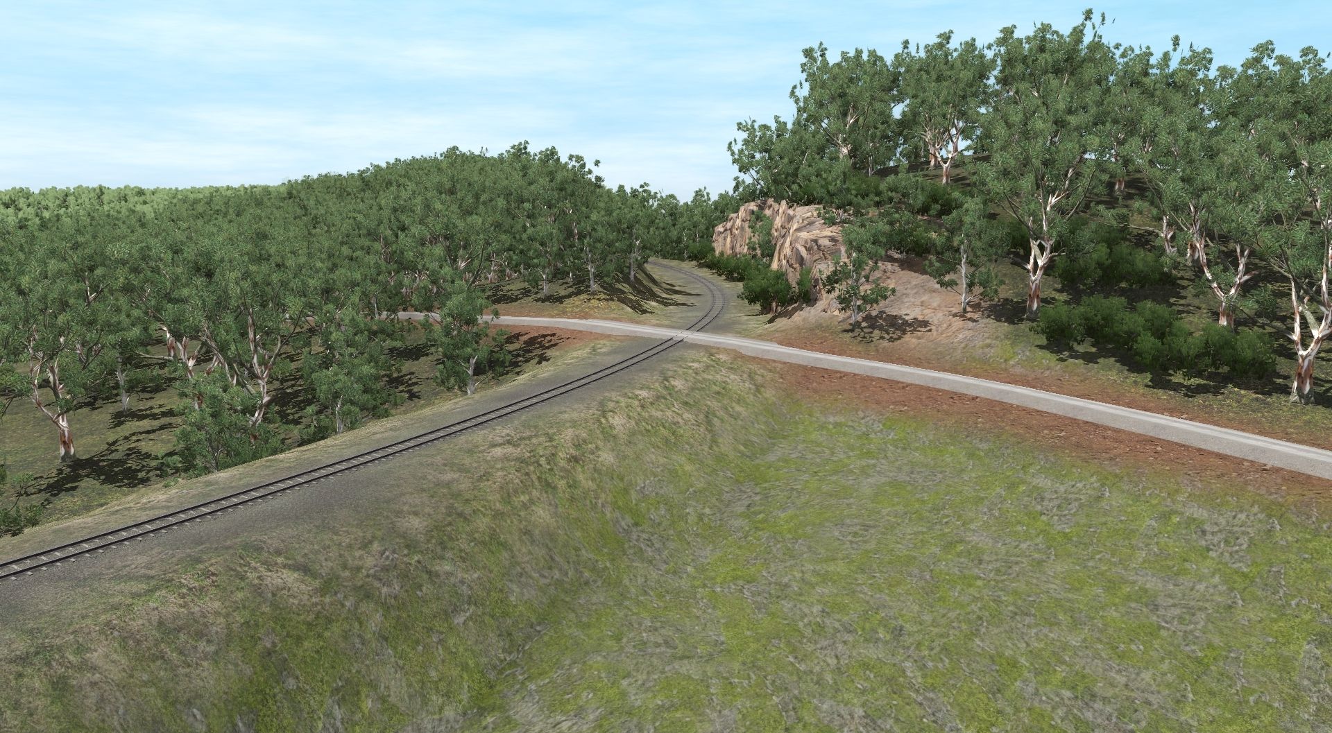
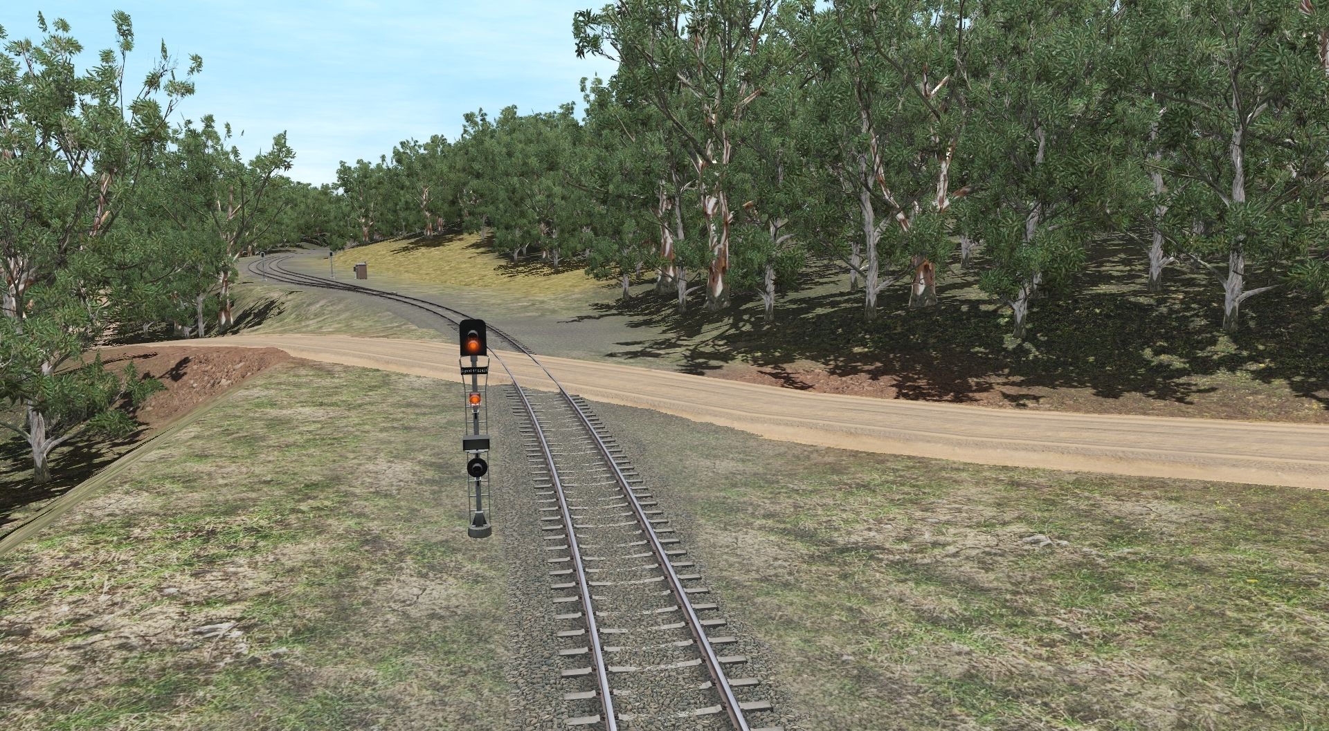
The map is a DEM based on the NSW South Coast Line. It runs from Sutherland (Cronulla and National park) to Port Kembla/Bomaderry and Moss Vale.
The era chosen is early 00's and the line is electrified to Port Kembla and Kiama.
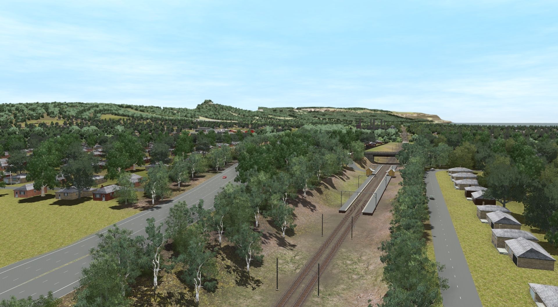
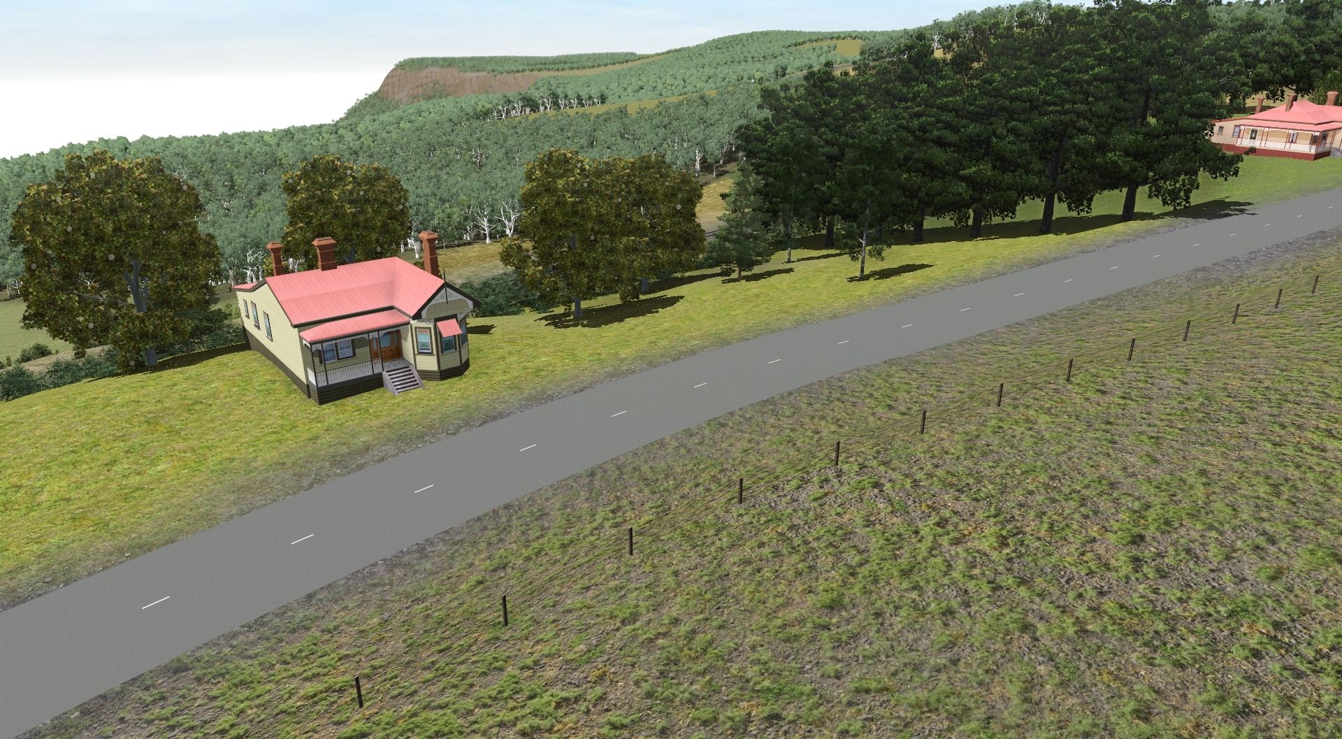
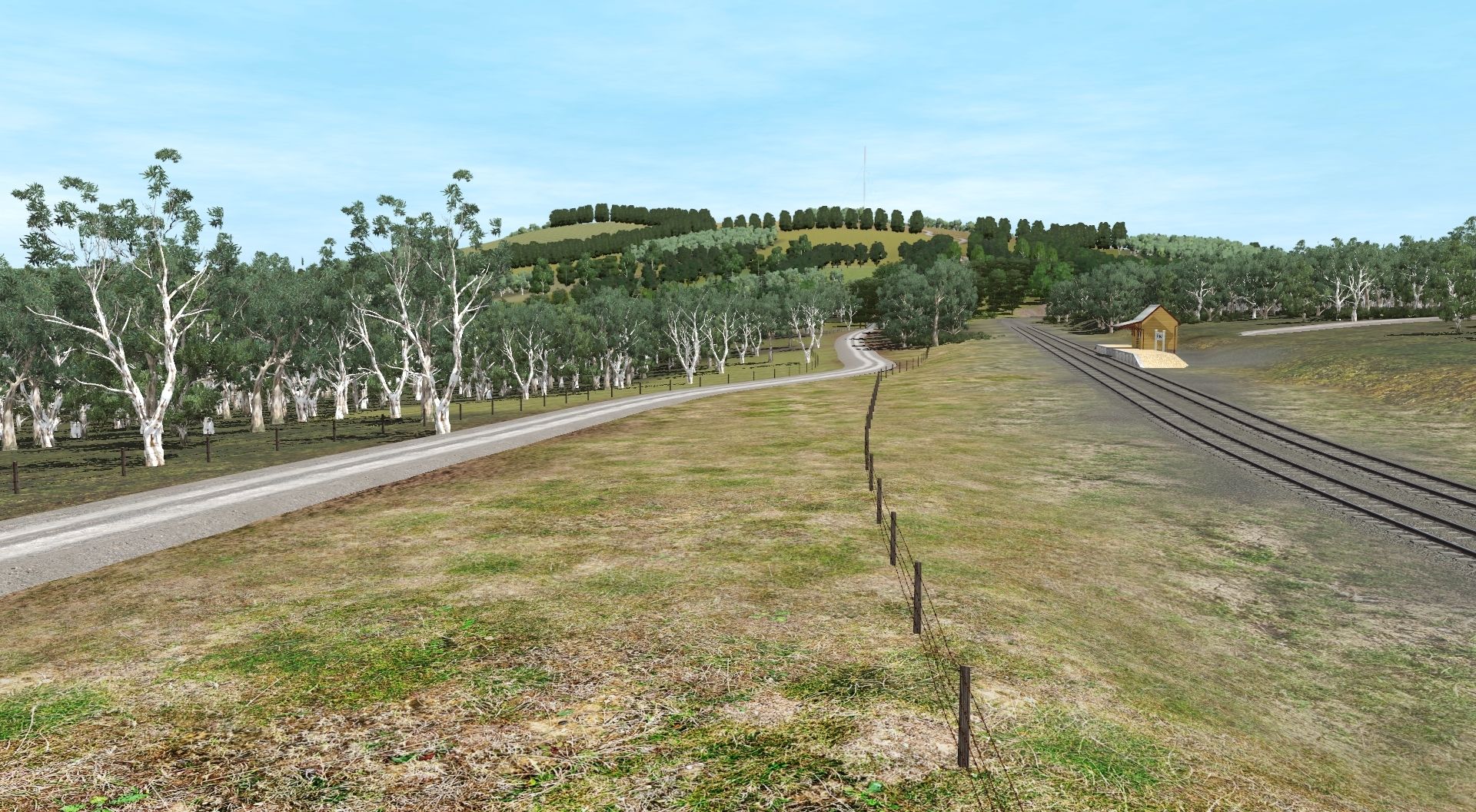
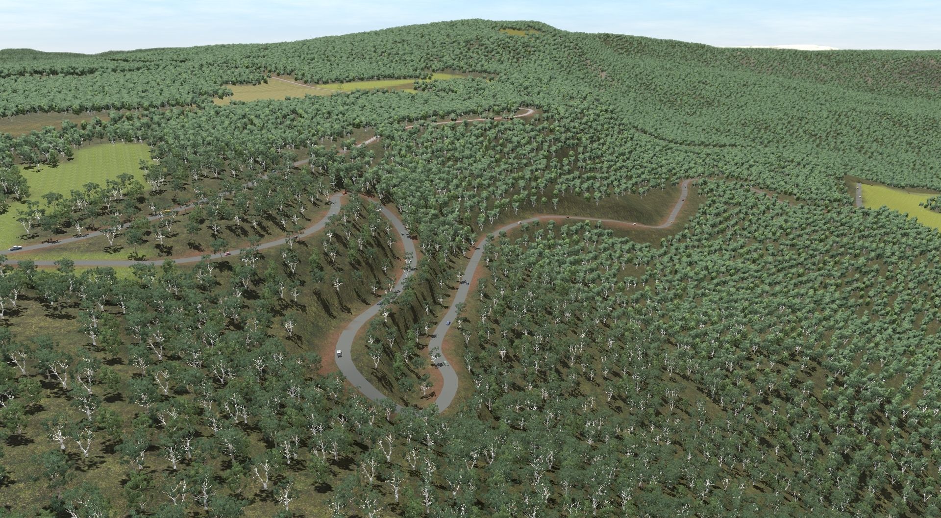
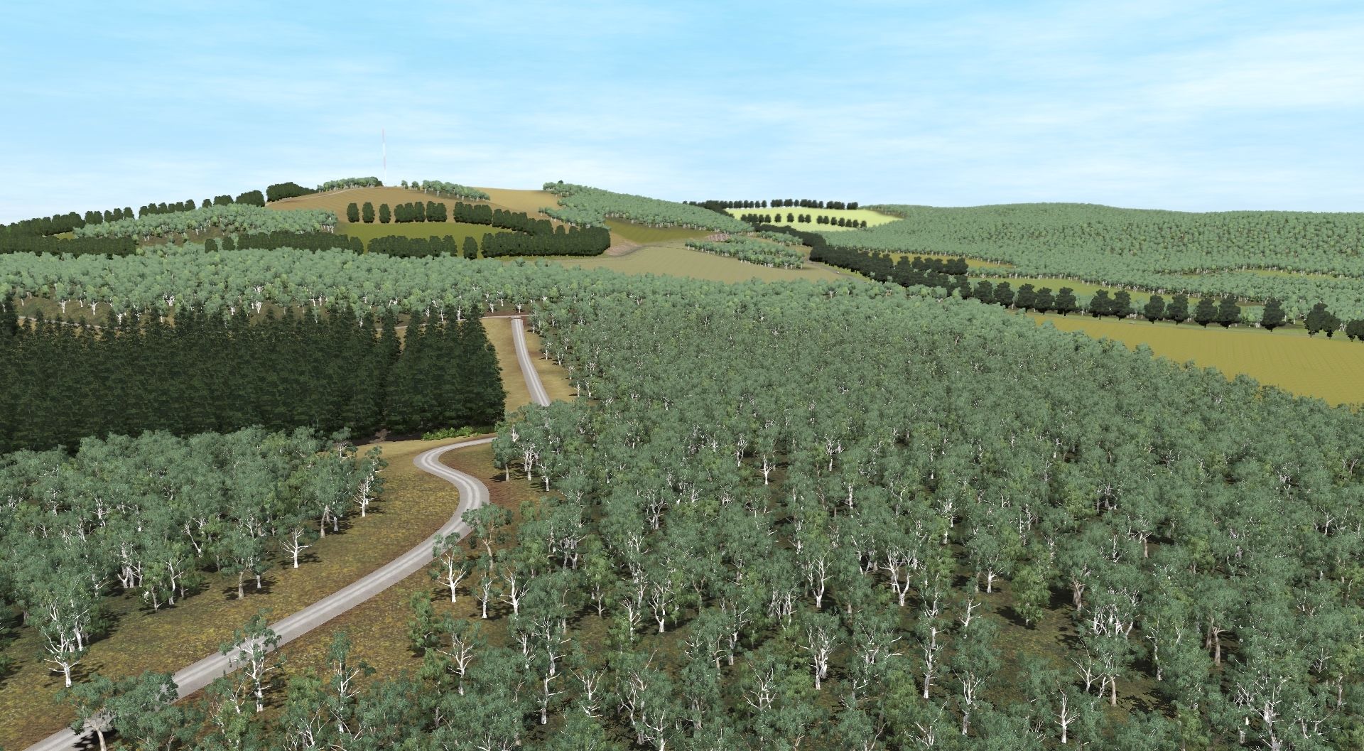
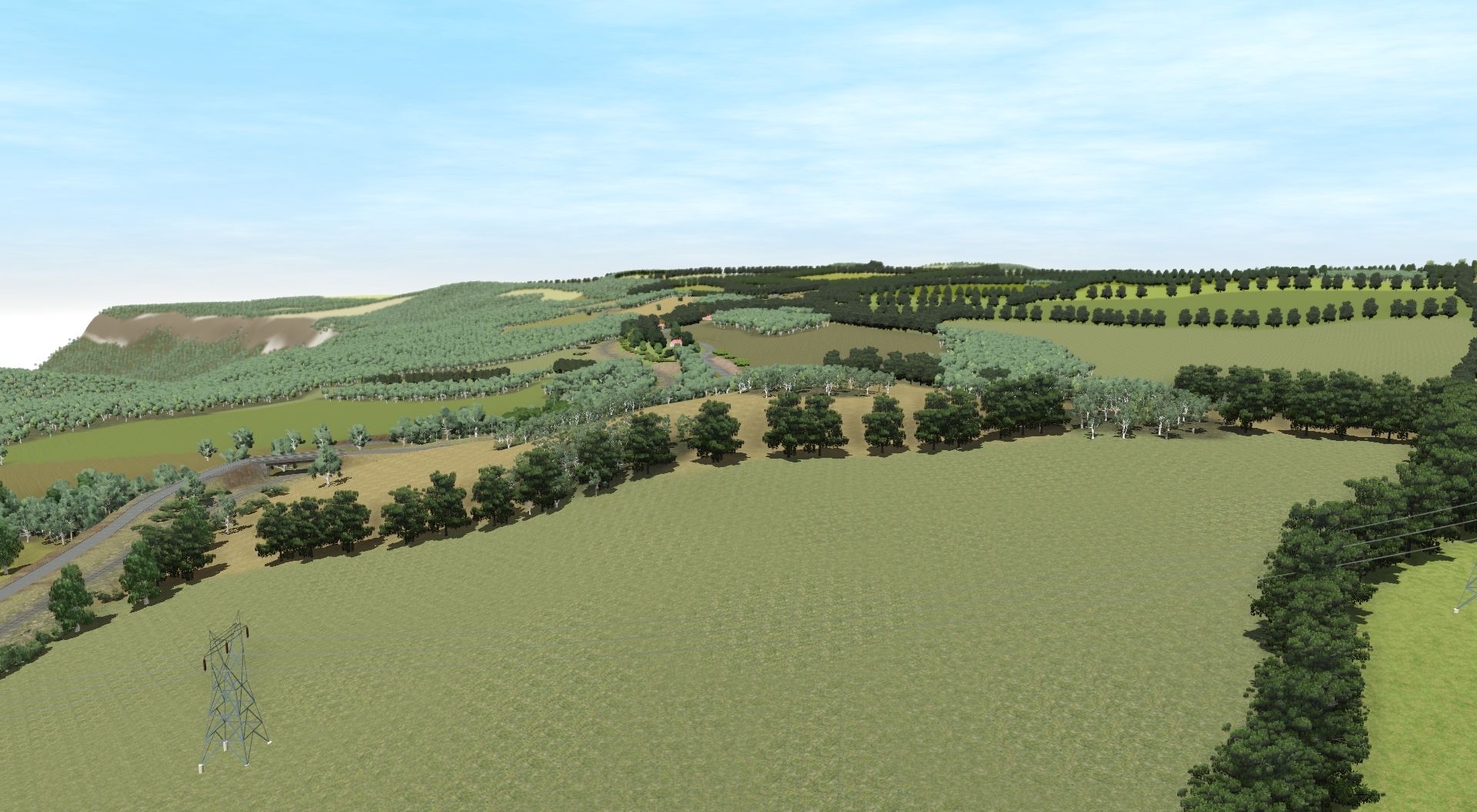
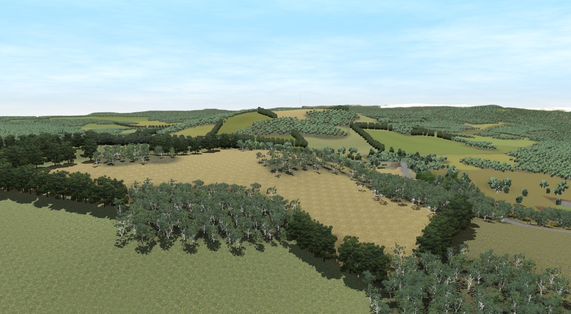
The map is signalled using Ranger_51's signal pack. Scenery is currently placed between Coalcliff and Corrimal, along with Albion Park and Robertson.
I aim to update this thread with screenshots from time to time so you can all see the magic happen.")

I get asked fairly often about the South Coast project so I thought I'd make a thread for it.
This project is a very successful partnership between myself and the very talented Grazlash.
The map is a DEM based on the NSW South Coast Line. It runs from Sutherland (Cronulla and National park) to Port Kembla/Bomaderry and Moss Vale.
The era chosen is early 00's and the line is electrified to Port Kembla and Kiama.
The map is signalled using Ranger_51's signal pack. Scenery is currently placed between Coalcliff and Corrimal, along with Albion Park and Robertson.
I aim to update this thread with screenshots from time to time so you can all see the magic happen.


")