My new Ffestiniog Route

Dkz1181

New member
ok well ive seen one guy on here is already making this route, and from the screen shots it looks awesome, however i wanted to have a go at recreating the route myself, rather then just making it up as i go along.

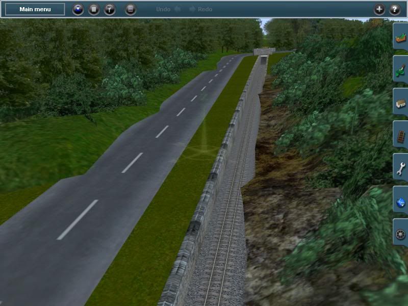
i wont lie, its bloody hard, and im having to make alot of the trackside stuff myself, as for the route sofar since i started bak in 2011 i have, with on and off sessions that sometimes takes a month or 2 before i load up trains again, only manged to lay track as far as tan y bwlch, and get a poor simulation of the country side, ... so far ive concentrated on getting the terran right with a few details in place.

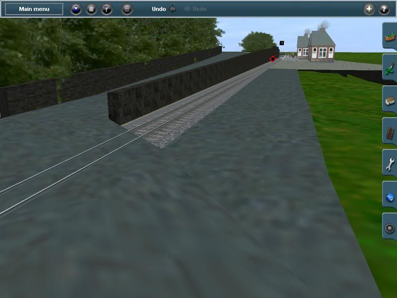
so far this is the result, im no mod genius and do this purely as a hobbie, so my models might not live up to scale or the expectations of the hardcore fan, but as you can see, its not as bad as it may sound :S ..
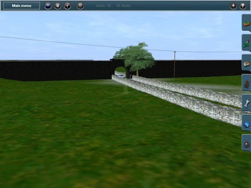
Area Portmadog:
dkz1181_20120219_0016.jpg


dkz1181_20120219_0012.jpg


dkz1181_20120219_0009.jpg


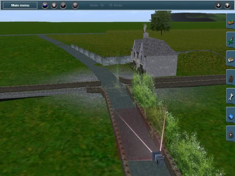
Area Minfford: I Still need to make the houses for this section, this is mearly a stock model to help gauge sizes for the rest of the landscape
dkz1181_20120219_0008.jpg


dkz1181_20120219_0006.jpg


dkz1181_20120219_0005.jpg

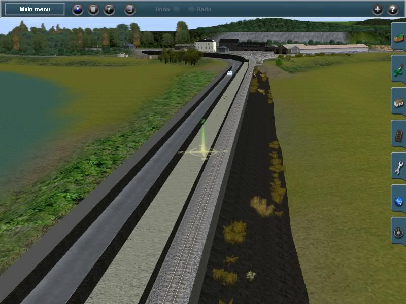
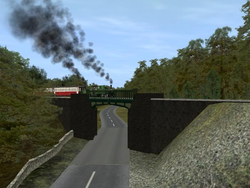
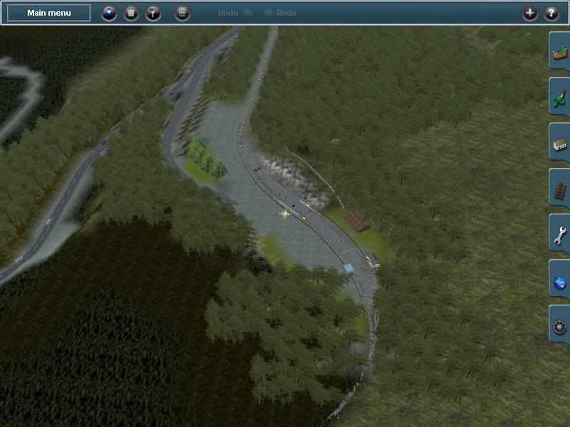
Area Tan y Bwlch: ... i think im going to have to make the actual embankments on either side as well, since the terran wont allow for such a small gap ... :'( also, i think ive gotten those railing too high, but i cant tell from the google photo, and its been that long since i was in this area ... any comment would b welcome.
dkz1181_20120219_0004-1.jpg


dkz1181_20120219_0001.jpg


Alot of these models are mearly prototypes and an i will be tweeking them as i go, also i will make them availiable on the downloadstation if anyone wants them and i can work out how to do it :P
 
Hey don't knock yourself, looks fine to me. Looking at what you have done so far, maybe we ought to have been working together on this! never mind.

As for tweaking Prototypes, you probably wouldn't believe how many versions of various bit I have on my PC.

It's far easier using a DEM sorting out the landscape, still needs a lot of sculpting though.
I'm hoping to release mine in about a month or two, however it's going to be TS12 and done to present time, however all the buildings will be 2009 upwards. And I'm in the middle of moving house so that's going to mess things up for a couple of weeks.

The bridge at Tan y Bwlch? the railings do look a bit high to me, haven't made that item myself yet got a temporary bridge on there, oddly enough that's the next area I'm going to sort out properly. If you use Google Maps and Street view you get a very good view of it, better than Google Earth, seems they have repainted it as well it's now grey with gold edging, guess I 'll have to do that version.

I've got quite a lot of pictures of various bits I've grabbed of the web, if you need anything I might well have it.
 
its ironic u mention google, as there where ive been getting most of my info from, and unless they have updated the pictures in street view, the color sceme i have was at least current when that picture was taken lol.

still i thinkin i may have to make the cob shorter, it looks too long although ive worked it using the speed of the loco and the time it takes to reach one end to the other at being just over a mile long ... even soo it doesnt quite feel right... seem to go far quicker on the actaul train, as for co-oping id have loved to helped out, but ur model has been in the works for longer then mine lol.

and tht 1st sweepin curve into minfford has proved a pain in the backside to get right, im not sure how im goin to do the works at minfford, its not someplace ive actually been so ive no idea about it other then from google an pictures.

i did add a spur to consider adding the WHR.. but i think ill just concentrate on the route i know best... tho i will miss walkin thro the bedgelart tunnel (not sure i spelt tht right lmao)

ps, clam1952.. if want any of the blender sources for any of my models just ask, im happy to share, as i said im doin this mostly for the fun of it.. and if i managed to do a decent enough route ill see about uploadin it, but as for models once im happy there as good as there going to get i dont mind putting em out for who ever wants em
 
Last edited:
I have exactly the same thought about the cob here as well, however I've measured it off maps and Google Earth and it seems to be correct. I suspect its all to do with looking at pictures on the web which are probably getting foreshortened by whatever focus and lens is being used. Think you are right about the bridge colour just had a look from the other side it appears to the effect of sun and dirt on the south side making it look greyish.

They have recently updated street view by the way, there is lot of places that weren't accessible that now are, doesn't help when you have guessed things and then find out it's wrong!

Minffordd, that curve is tricky as it's on a downhill gradient, that's one area where using a DEM definitely didn't help as it was all flattened out. The other thing that hasn't helped is the closure of photopix and the loss of an awful lot of pictures. May be some new pictures at some point as apparently they are contemplating putting another curve in from the Porthmadog end for the WHR permanent way train, of course nothing may come of it.
I've had to do Minffordd yard from a hazy memory as I was relying on the pictures on photopix. If it's any consolation there are only the three sheds and that small building next to the bridge over the standard gauge that don't change, the rest seems to be an odd assortment of movable stuff, huts portacabins piles of whatever, rusting bits of locos, so you can probably get away with anything. There is a new permanent way building there which I've seen a photo of somewhere, probably photopix again.

I'm still trying to track down some decent pictures though, I'll let you know if I find any.

I'm using Gmax for the simple stuff and 3ds for anything complicated by the way, couldn't get the hang of blender been using the others for too long.
 
Digital Elevation model made from satellite imagery, basically you use a program such as Tranzdem or alternatively the free, more complicated method and less accurate method using Microdem plus another program called Hog, to create a 3d model of your Terrain from a DEM of the area you are modelling, the programs then convert the height map into a mapfile.gnd, that's the terrain mesh,that Trainz can use. You can incorporate map overlays or use images from Google Earth.
 
I might give it a try some time... hell it might have made penrhyn easier .. ive had it move it 3 times because i wasnt happy with the track either side of it, now .. hell i cant be **** its good enough tho some of the straighs might be a little long but im finally happy with the line up to Rhiw Goch... by the way just how high should it be by this point, ive got it about 10 on mine, ive kept it fairly level after climbing to 10 into penrhyn station .. now i just need to make some house stations and oh the crossing ... god knows how im going to do that :S

Anyway after a long break and 2days of work, this is all ive to show .. lol

Minnford downline detailed alittle
dkz1181_20120304_0003.jpg


dkz1181_20120304_0004.jpg


Penrhyn approch
dkz1181_20120304_0001.jpg


and of cause a some what basic crossing
dkz1181_20120304_0000.jpg
 
I say keep up the good work :).
by the way just how high should it be by this point, ive got it about 10 on mine, ive kept it fairly level after climbing to 10 into penrhyn station .. now i just need to make some house stations and oh the crossing ... god knows how im going to do that :S
I am not sure if I understand you there. Are you asking us a question, because I am not sure what the question is. Maybe you can clear this up? Or maybe someone does understand if he knows the local situation (I dont, sorry).
 
lol aye i should have said ive climbed to a hight of 10 in the terrain editor for penrhyn and rwin goch, and 5 for minffordd ...
it just doesnt look right but then im not the size of the model guy and the perspective is completely differnt lol..
since ive not run any other ffestiniog maps ive no idea wot hights to use, if i remember rightly ive got to work in a steady climb for tan y bwlch which ive put up at about 40 ... i might move rwin goch upto 15 or even 20 im not sure yet though.

by the way does any one know where i can get some 'idoits' guide to making level crossings ??? ill be able to do the model and all tht, but adding the track an triggers is somthing ive no idea about :S
 
Last edited:
Back
Top