So hello everyone,
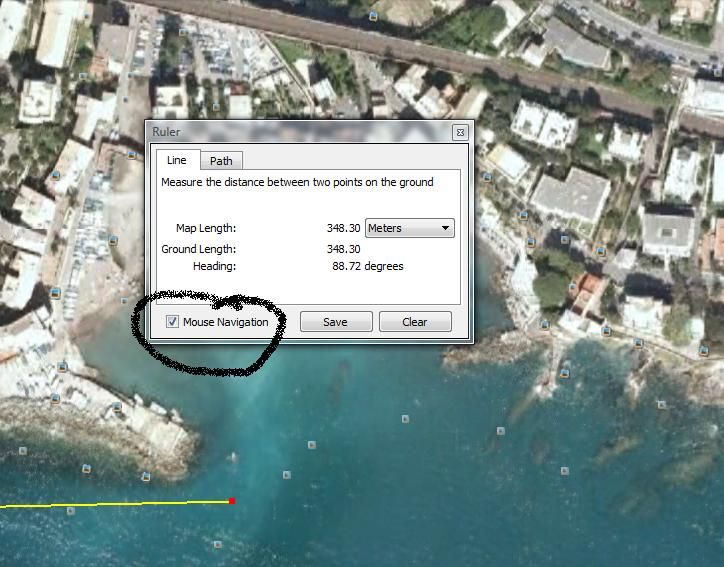
I'm new here, (as evident by this being post #1) as well as new to Trainz, but I've already started a new route. It's a fictional railroad, but takes place in a real location. Now, I want it to be as accurate as I can get, so I though using Google Earth Basemaps would be a good idea. But, I've run in to several problems, the biggest being how exactly do you get a nice 1km square out of Google Earth? I know how to save and edit images, but I'd like to know how you can get a nice 1km measurement so you know where to crop. Or is there an easier way to get maps than this? I've looked at several tutorials but none tell you how to get those 1km x 1km images to put on the basemaps.
Help is greatly appreciated!


