ReadingRailroadFan20
New member
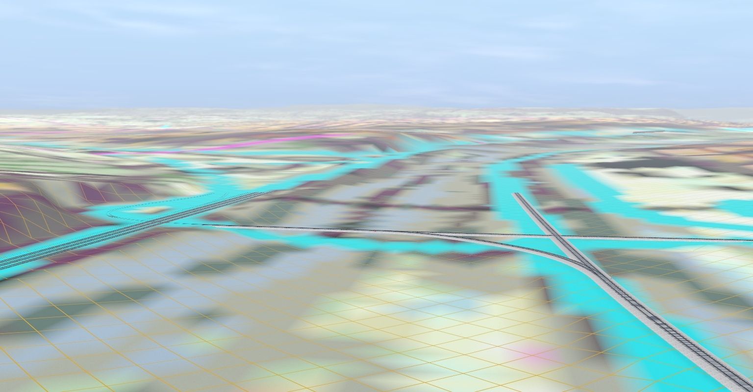
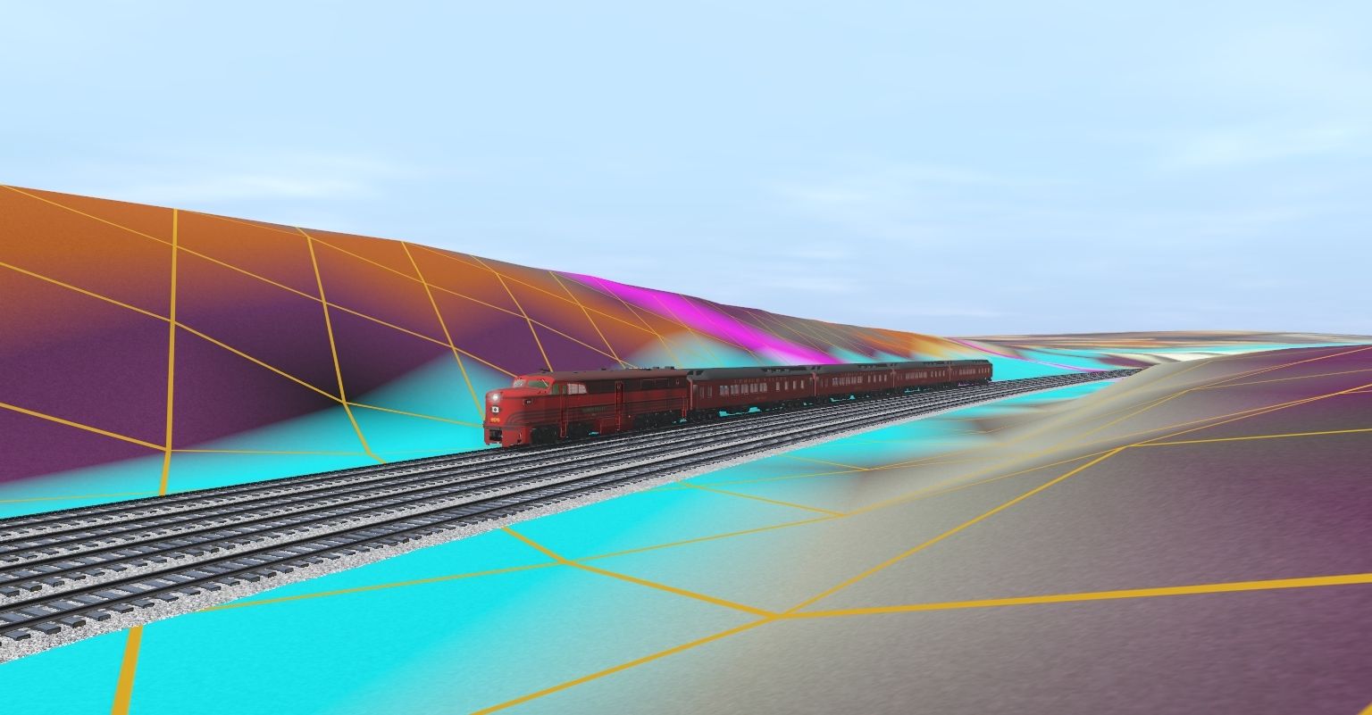
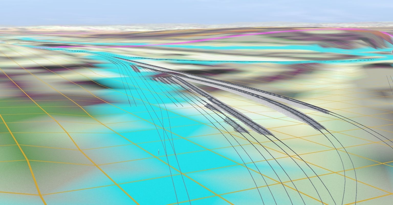
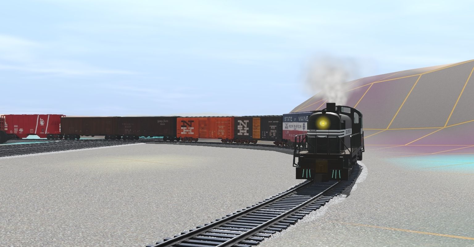
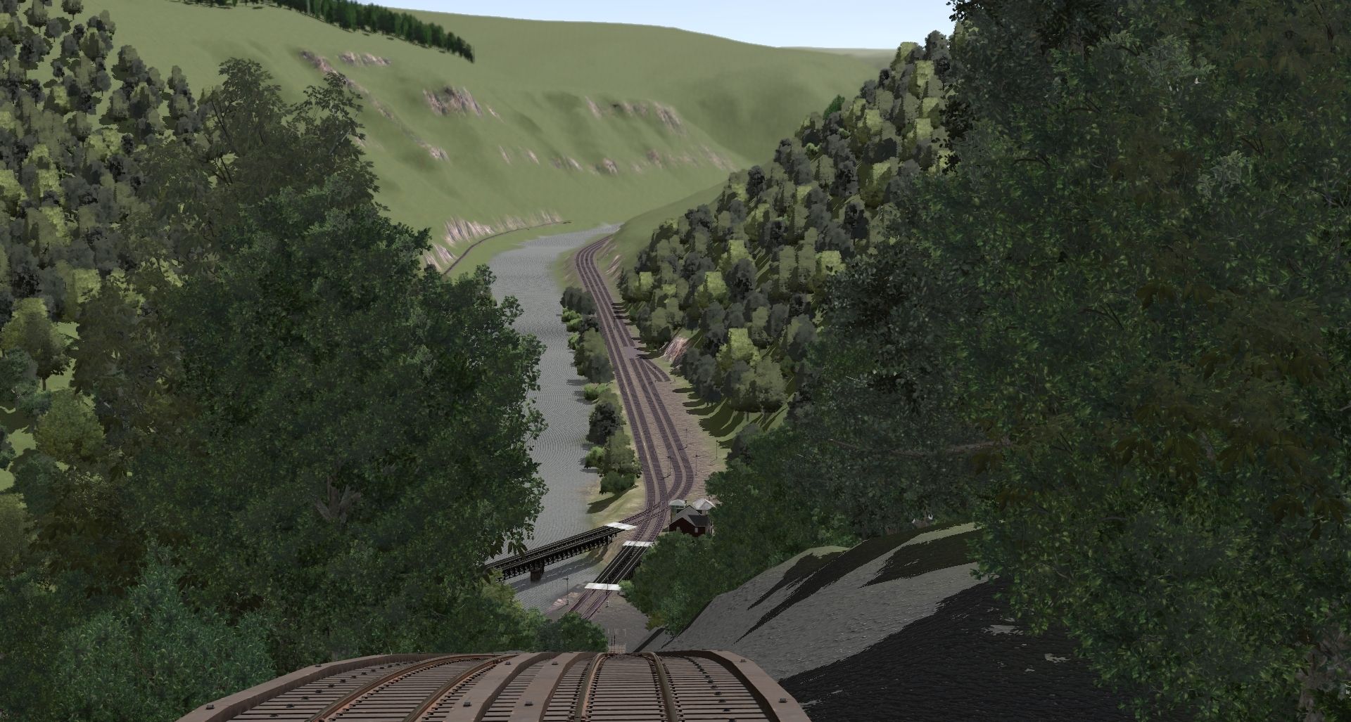
Hello, This is my first forum post. I've been working on my own passion project for a little while now. The routes based on the Lehigh valley area set in the 50's & early 60's. At the time several railroads called the area home. CNJ, LV, Reading company, L&NE, Ironton, D&H, and PRR. The route will span from Phillipsburg NJ and out to Reading with other lines branching off at different locations. So far I've started out of the Catasauqua area where the Ironton RR interchanged with the LV and CNJ. I could be wrong about that as I've seen videos of L&NE Alco's working the yard. The dem i created for the route didn't overlay the track so I have to follow the blue lines on the map to know where the track goes. Problem is that idk how to get the proper track height or gradient's. Also some of the lines may look inaccurate as I only have the tranzdem overlay and historic areal photos as reference. If anybody sees something i did wrong let me know please I'd like the feedback. I think thats all for this forum post. Bye ")