Blutorse4792
Now T:ANE I can get into
So I've been working with a TransDEM generated route as of late, and everything was going quite well until I tried applying elevations and gradients to my track.
While portions of fill look more-or-less accurate, whenever I try to model cuts, they are showing up much, much deeper than they actually are IRL.
For example, when I apply the prototypical elevation to a high embankment over road it appears to be the correct height, but when I apply it to a much lower embankment over flat land, the tracks end up several meters underground.
I am using multiple company track charts in conjunction with overlay maps (and personal knowledge of the area in question), so I'm fairly sure that my measurements are not the issue here.
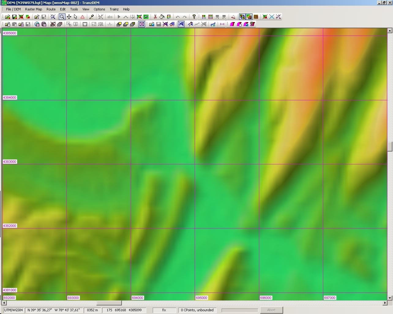
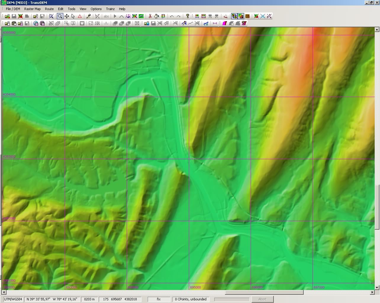
After discovering this, I started moving the overlay maps to check the ground underneath, and I've noticed several geographical features (creeks, hills, etc.) are missing.
I would chalk it up to the fact that many of them are either man-made or relatively insignificant, but they were included when I previously modeled the same area in MicroDEM (many of the man-made features are, for lack of a better term "geographically substantial" and have existed for 100+ years).
Did I screw up somewhere along the way when I generated the terrain, or should I try using a different DEM?
IIRC, I simply used the source in Dr. Ziegler's tutorial.
While portions of fill look more-or-less accurate, whenever I try to model cuts, they are showing up much, much deeper than they actually are IRL.
For example, when I apply the prototypical elevation to a high embankment over road it appears to be the correct height, but when I apply it to a much lower embankment over flat land, the tracks end up several meters underground.
I am using multiple company track charts in conjunction with overlay maps (and personal knowledge of the area in question), so I'm fairly sure that my measurements are not the issue here.
After discovering this, I started moving the overlay maps to check the ground underneath, and I've noticed several geographical features (creeks, hills, etc.) are missing.
I would chalk it up to the fact that many of them are either man-made or relatively insignificant, but they were included when I previously modeled the same area in MicroDEM (many of the man-made features are, for lack of a better term "geographically substantial" and have existed for 100+ years).
Did I screw up somewhere along the way when I generated the terrain, or should I try using a different DEM?
IIRC, I simply used the source in Dr. Ziegler's tutorial.
Last edited: