Install the app
How to install the app on iOS
Follow along with the video below to see how to install our site as a web app on your home screen.
Note: This feature may not be available in some browsers.
You are using an out of date browser. It may not display this or other websites correctly.
You should upgrade or use an alternative browser.
You should upgrade or use an alternative browser.
Hudson River Route (Warning Large Images)
- Thread starter Zorronov
- Start date
- Status
- Not open for further replies.


cascaderailroad
New member
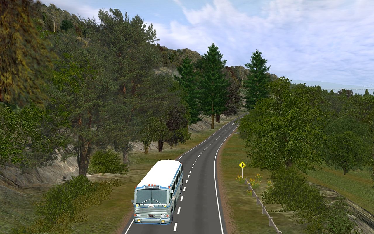
I hand place BNSF50 invisatrack, in all my roads, in my rivers, and up in my skies ... so I can drive a car on my roads, or a boat in my rivers, or an airplane in the sky, and railfan my Trainz from that vehicle .. The route looks amazing !


There are a couple of abandoned iron mines back here too. They produced iron for the rails in these parts. One of them was supposedly owned by Thomas Edison.
Doodletown was on the road to Fort Ticonderoga and troops passed through here en route. There's some story about a connection between the town and the song "Yankee Doodle" but it's probably apocryphal...something to entertain us tourists...
Cheers,
Fred
Doodletown was on the road to Fort Ticonderoga and troops passed through here en route. There's some story about a connection between the town and the song "Yankee Doodle" but it's probably apocryphal...something to entertain us tourists...

Cheers,
Fred


Thanks 817 Taylor!
As you can see, there's still more to do south of Peekskill...including the Tompkins Cove Power Plant (coal fired) and a large quarry. I 've got some great aerial photos so it should be fun! Right now though...I need to start working on Anthony's Nose. :hehe:
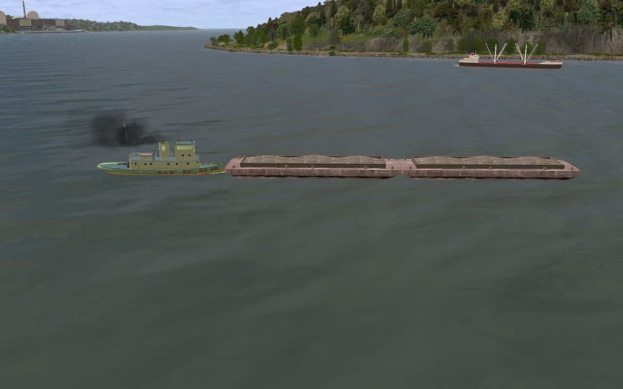
More Tug Cam
Cheers,
Fred
As you can see, there's still more to do south of Peekskill...including the Tompkins Cove Power Plant (coal fired) and a large quarry. I 've got some great aerial photos so it should be fun! Right now though...I need to start working on Anthony's Nose. :hehe:
More Tug Cam

Cheers,
Fred


CattyPatty
CEO of BTL RR
Where did you get those autoracks
socalwb909
Photo Creator


- Status
- Not open for further replies.
Similar threads
- Replies
- 6
- Views
- 2K
- Replies
- 3
- Views
- 2K
- Replies
- 3
- Views
- 2K
- Replies
- 1
- Views
- 1K