Does anyone know of a source that has dimensioned drawings of the Chicago L trains and some of their infrastructure? During a recent visit to Chicago I got plenty of pictures but scaling of off the photo images is not the best way to get accurate numbers.
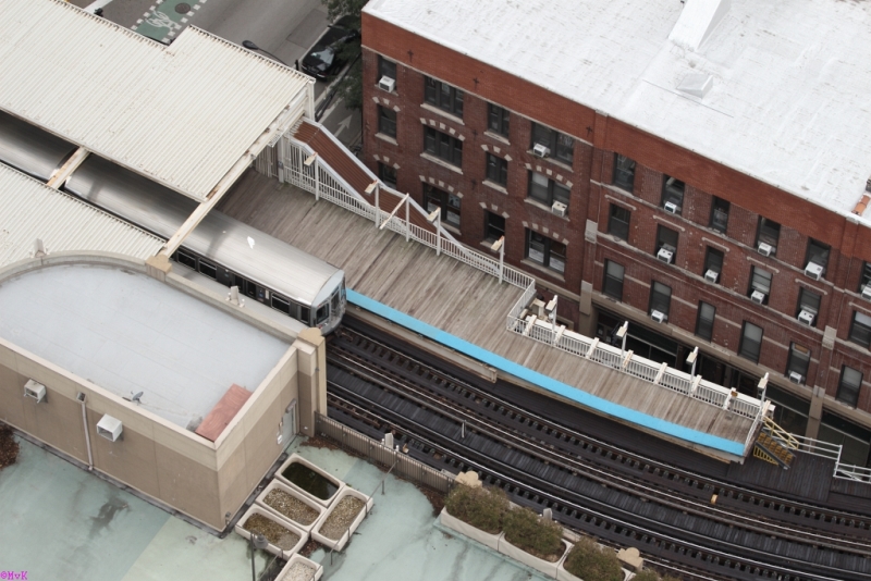
The view from my window
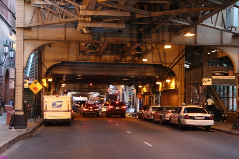
Street view
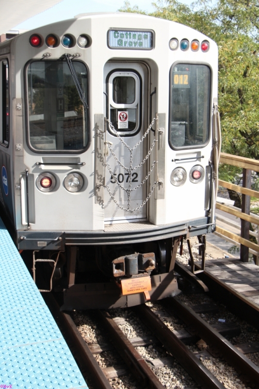
One end
Looking for:
track to track spacing,
elevation from street to top of rail (average in the loop area),
platform height above top of rail,
3rd rail offset and elevation from the adjacent rail,
Any help would be appreciated.
The view from my window
Street view
One end
Looking for:
track to track spacing,
elevation from street to top of rail (average in the loop area),
platform height above top of rail,
3rd rail offset and elevation from the adjacent rail,
Any help would be appreciated.