DavidPistelak
Alpinetrainz.cz
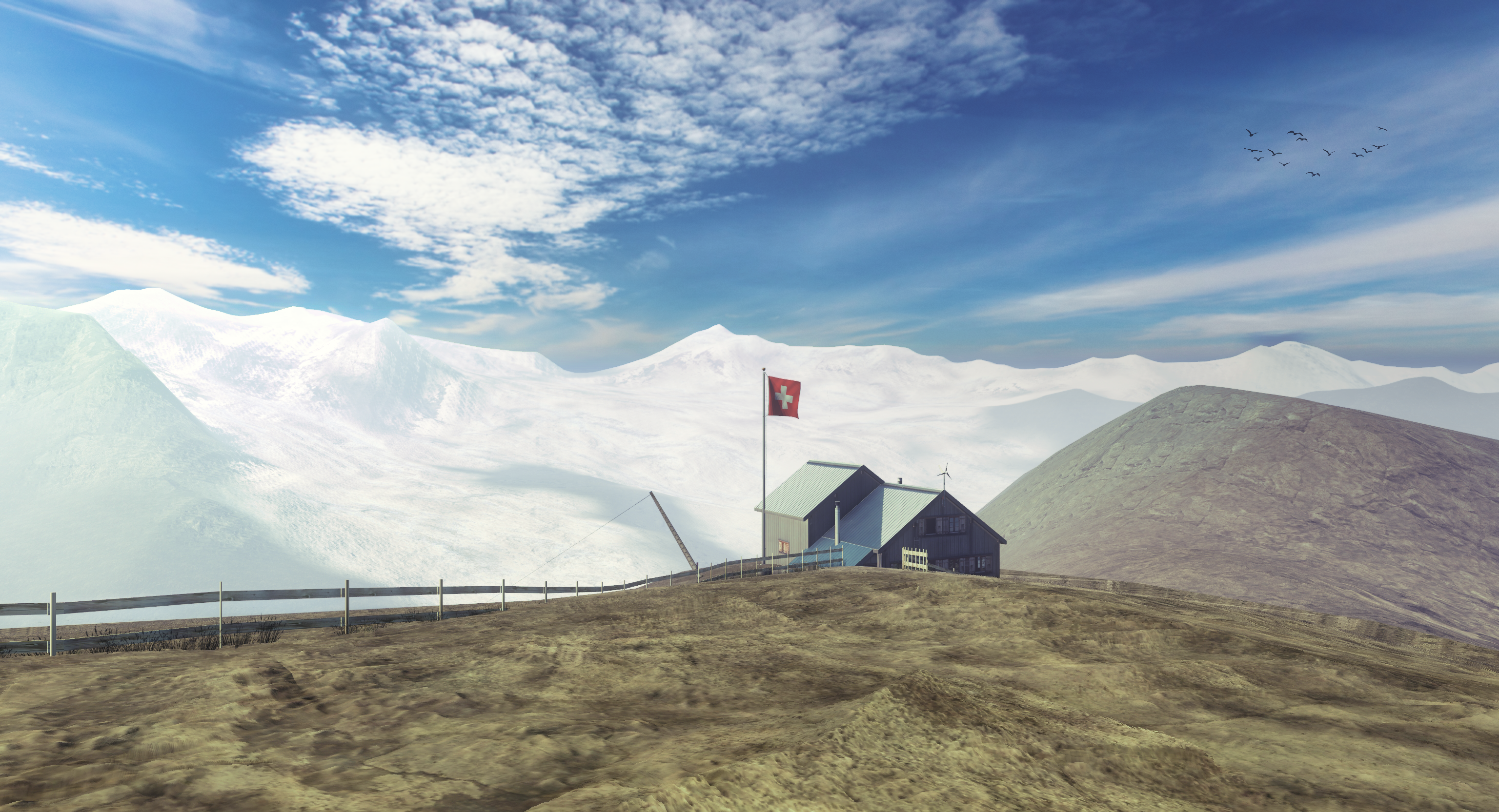
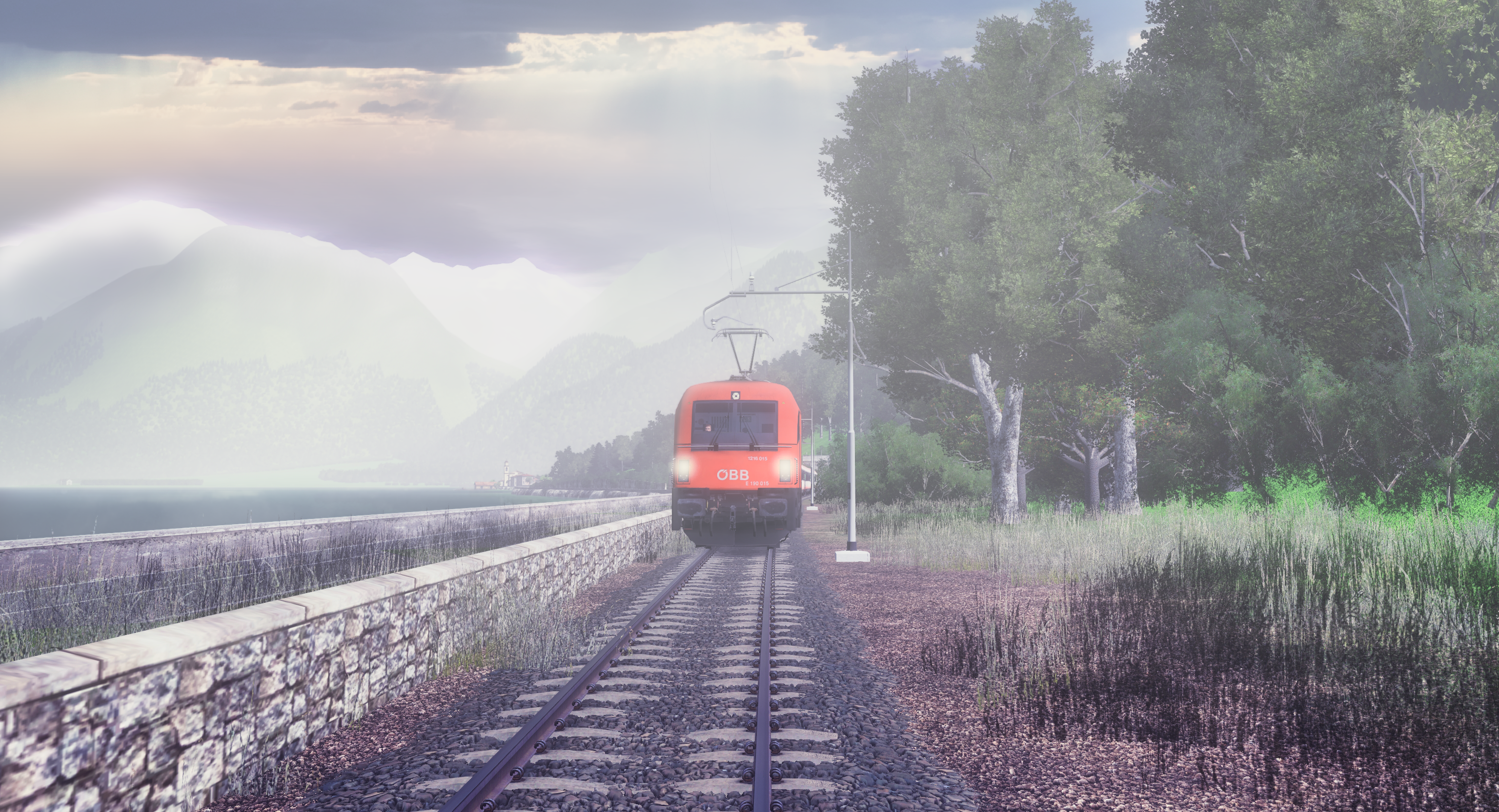
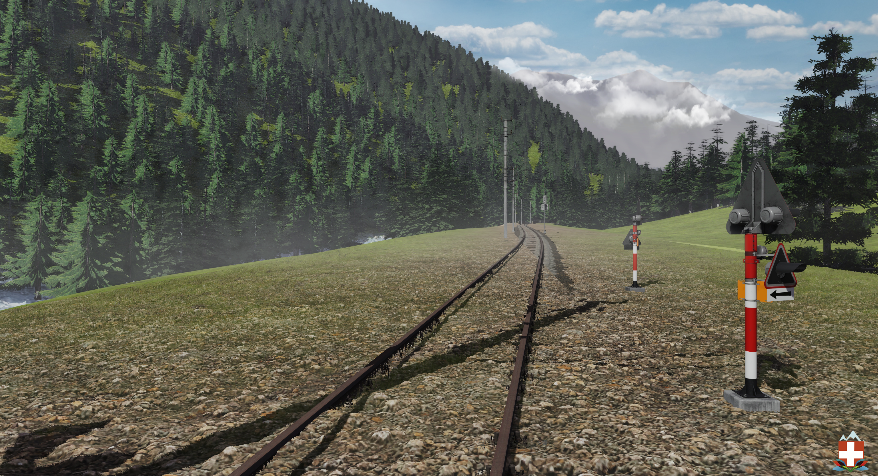
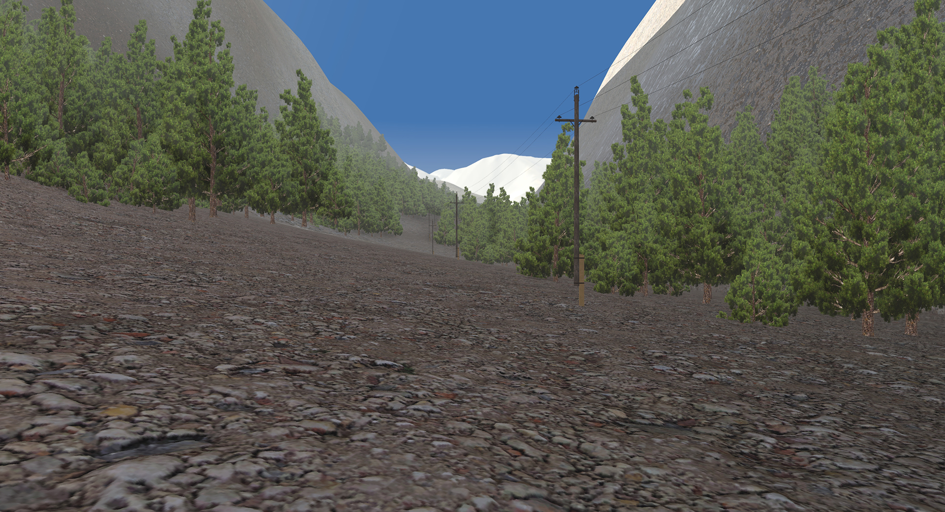
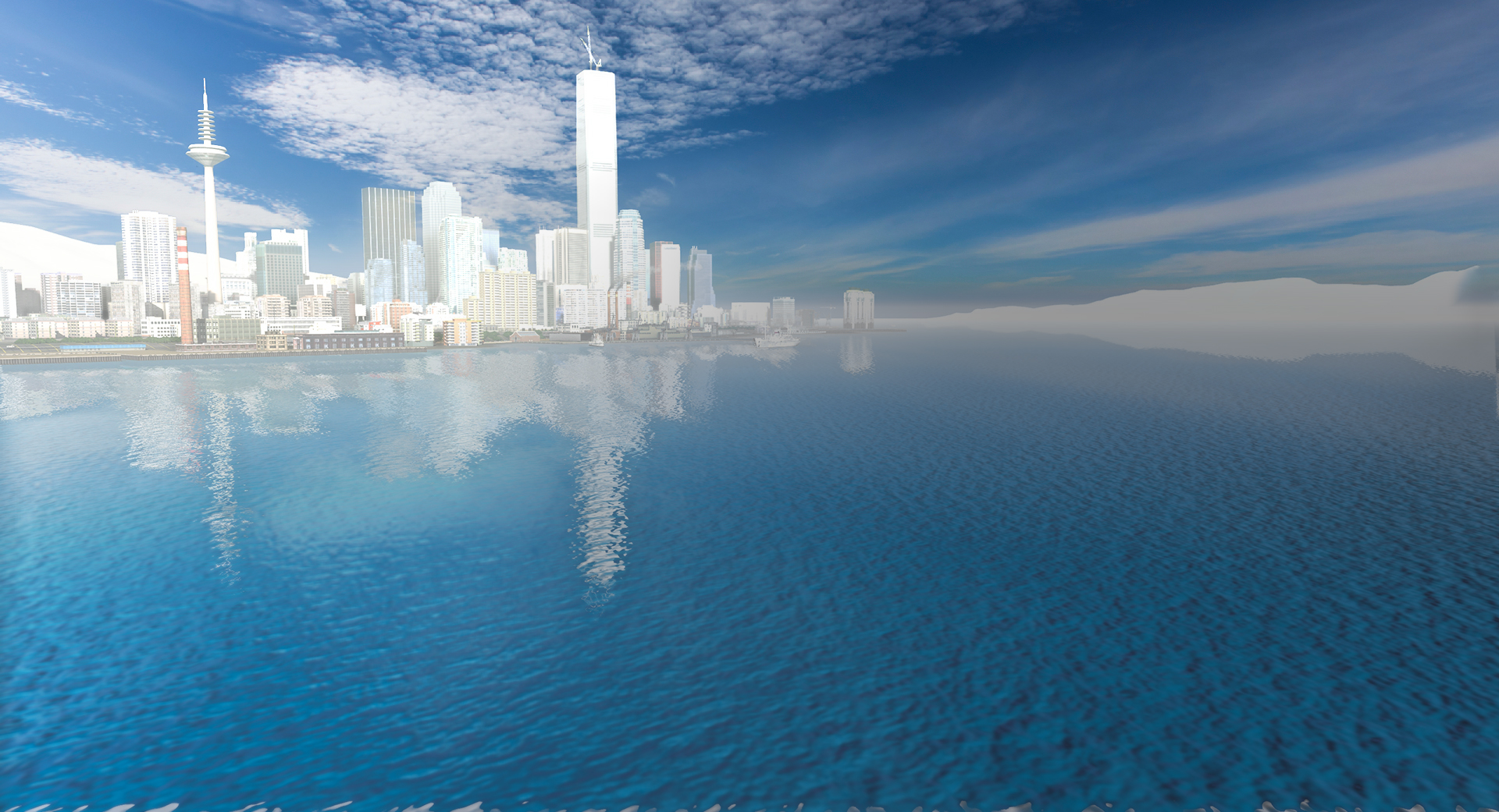
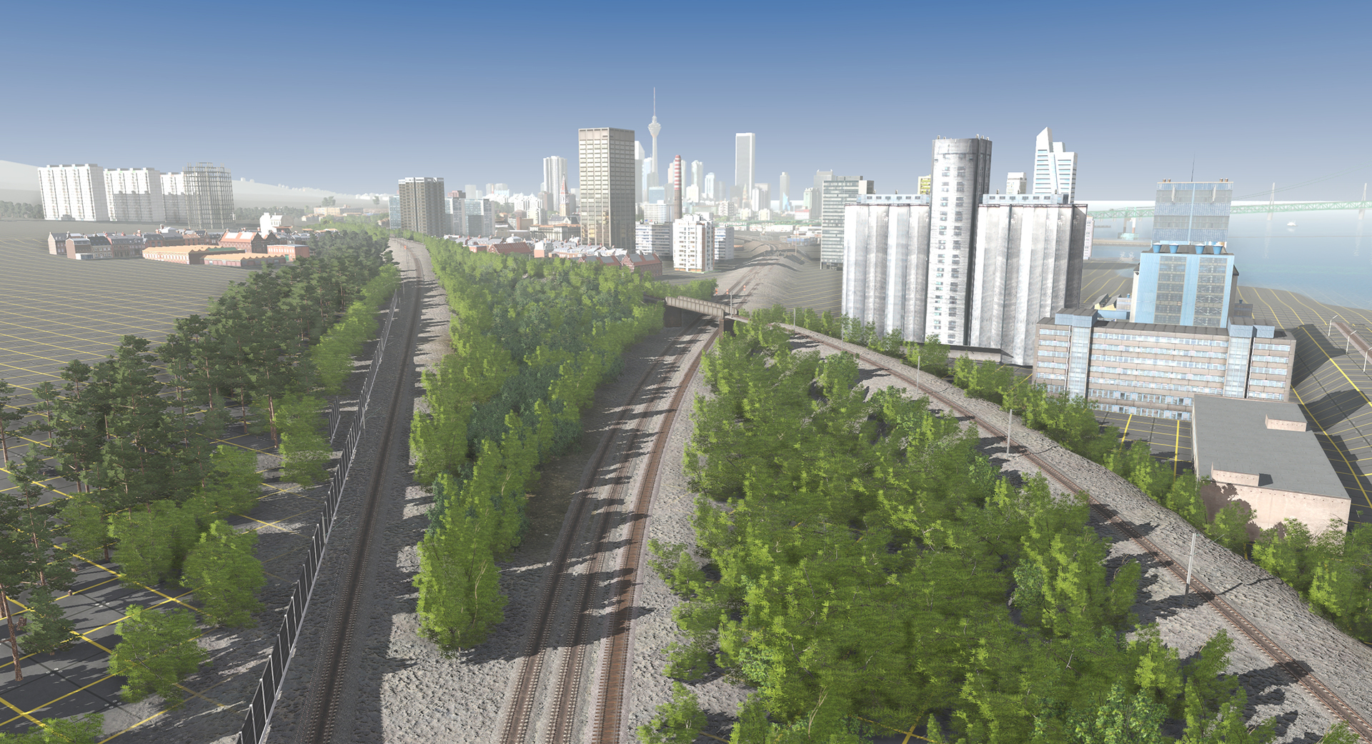
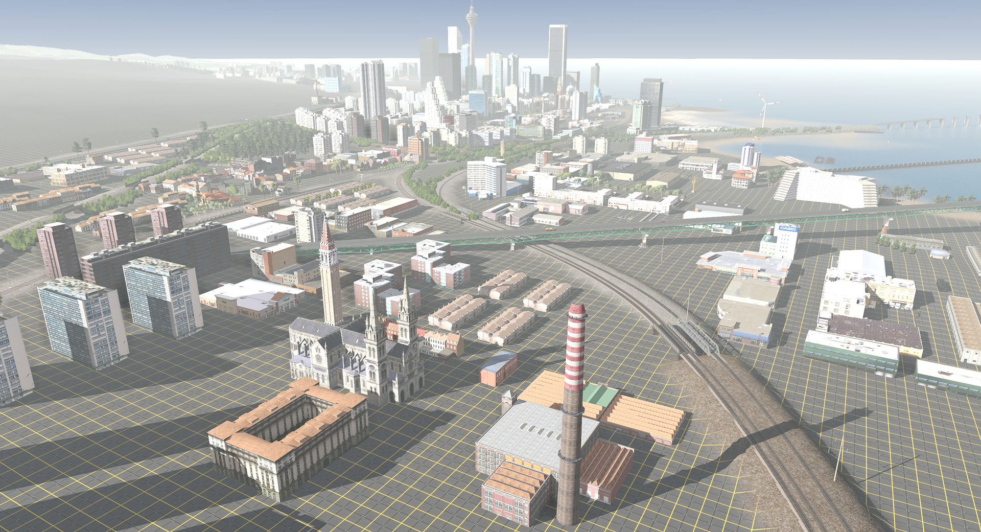
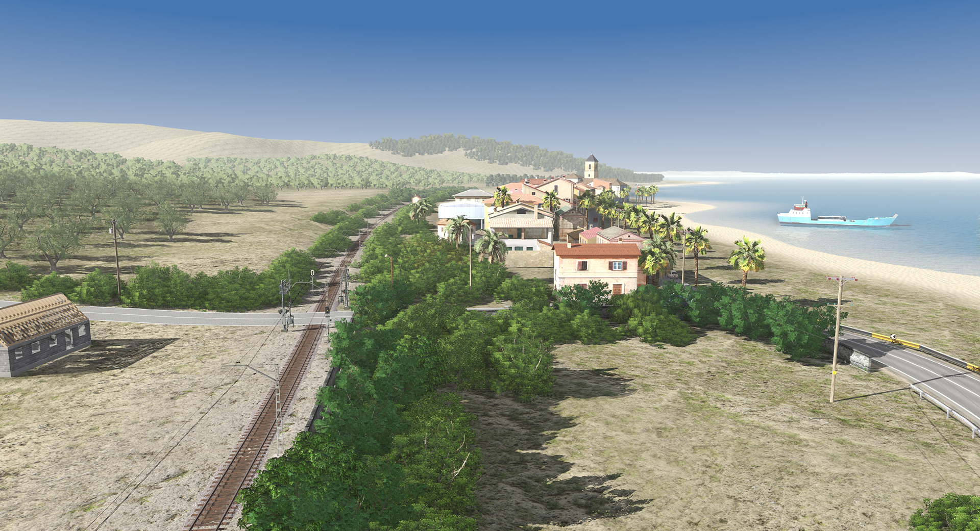
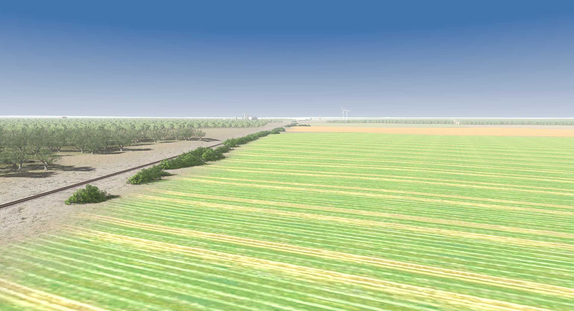
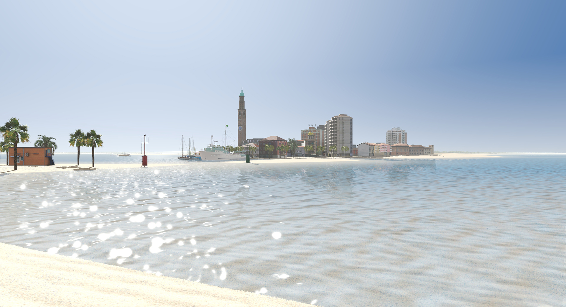
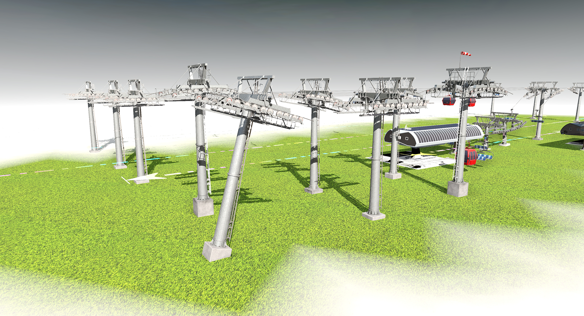
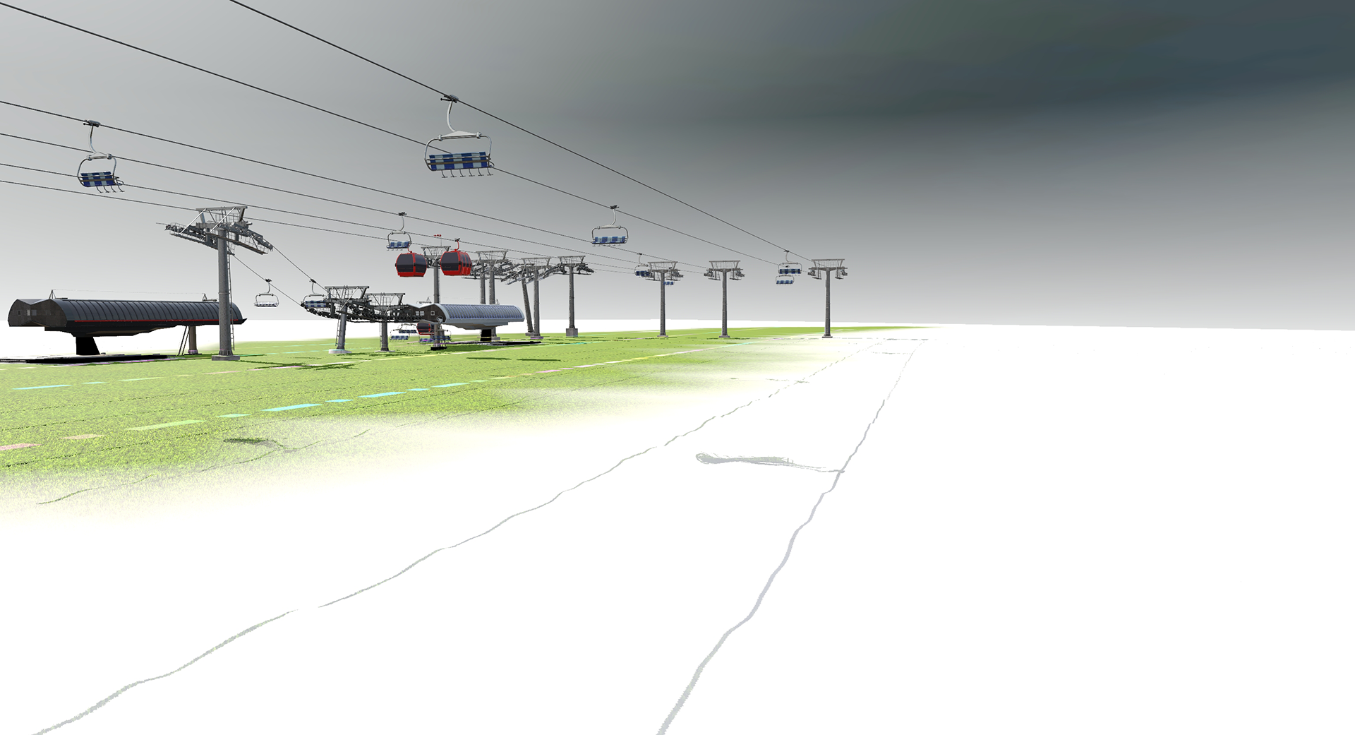
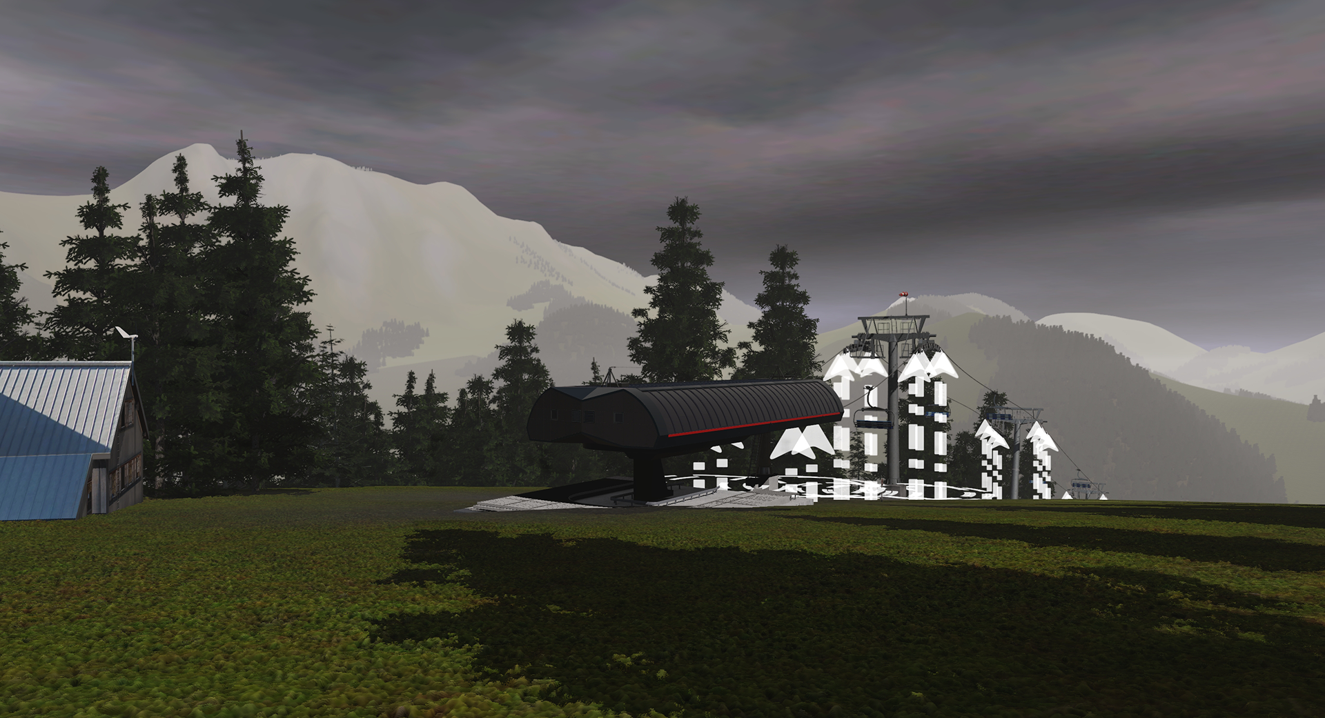
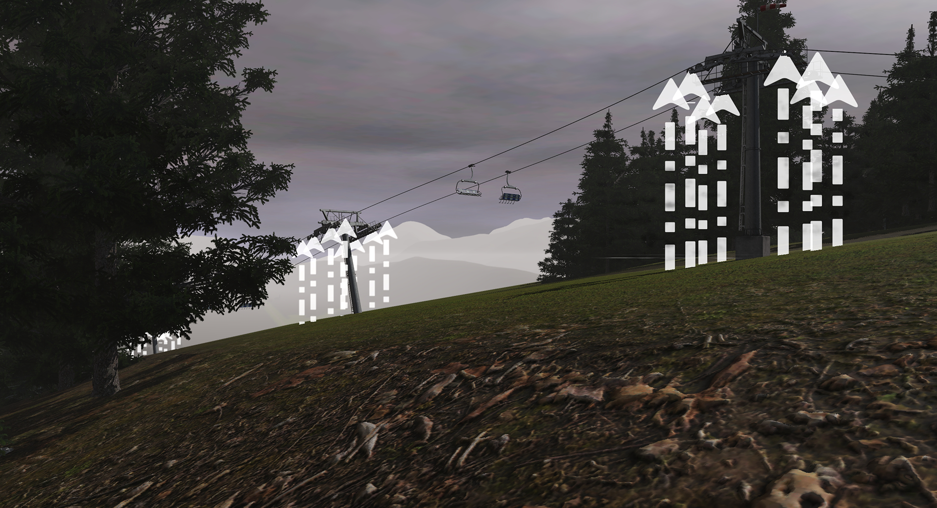
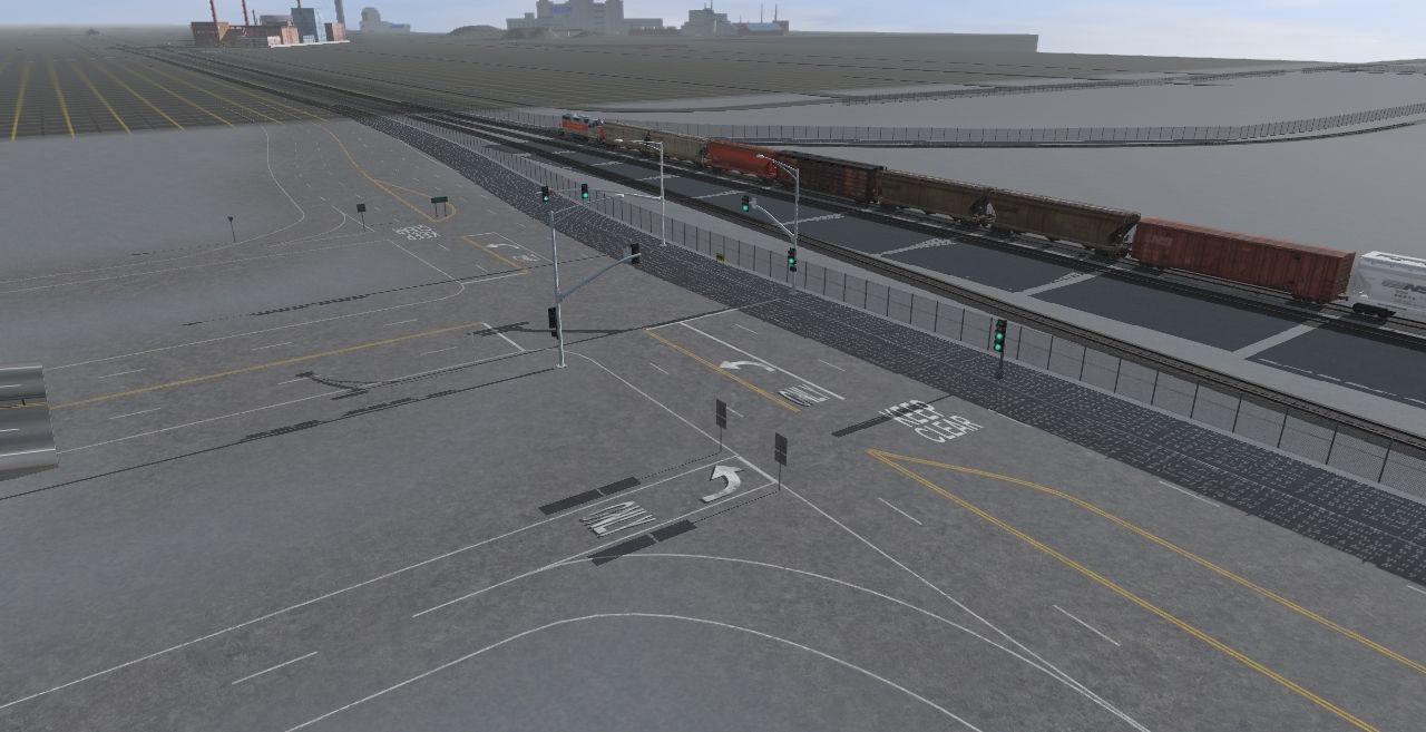
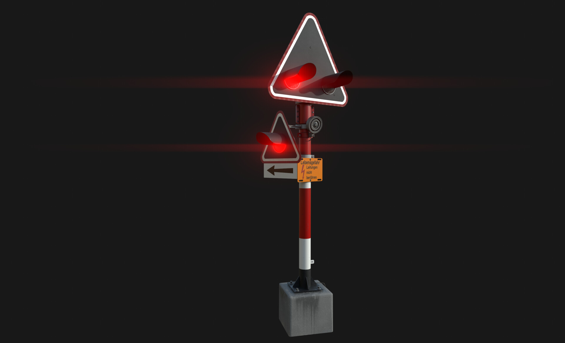
So far, the largest map I've ever made is about 600 km long and the route includes countries: Germany, Austria (much of it), Switzerland and Italy (I'm here so far). The elevation of the map is from 500 m.n.m. to a height of 1,800 m.n.m. Most of the map is controlled by my OBB and SBB lights. The map is real height generated. More pictures can be found here:https://forum.wikiquik.eu/community/index.php?thread/21-my-largest-map/


")