Hello,
again something about the progress in creation of the Drexel – Alberton – Extension but in connection with some description about my way to create such a route.
Before the route creation starts it is essential to do a lot of investigation to collect as much information as possible about the Rail Road the landscape and the towns. Great help provides Google – Maps but it indicates the current state which contains not all needed information to create Rail Road which is abandoned today. For details like the position of sidings or wayside buildings and other structures it is important for study a lot of old pictures. Also the historical USGS – Topo – Maps are very helpful.
Route creation itself can be divided in some steps. Some of these steps needs to be done one after each other, some can be carried out parallel.
Step 1 – Terrain only Route:
At first a terrain only route is required. Like the terrain only route for Avery – Drexel has been done by Scott Monsma who sent that route over to me in back 2006, the Alberton – Extension has been created by James Moody. At this point again many thanks to Scott and James!
Step 2 – The main Tracks, Roads and Rivers:
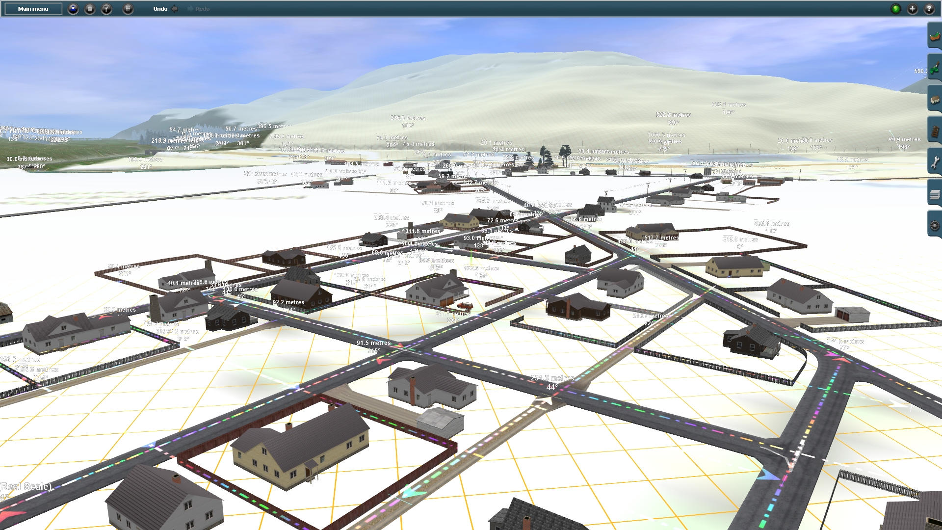
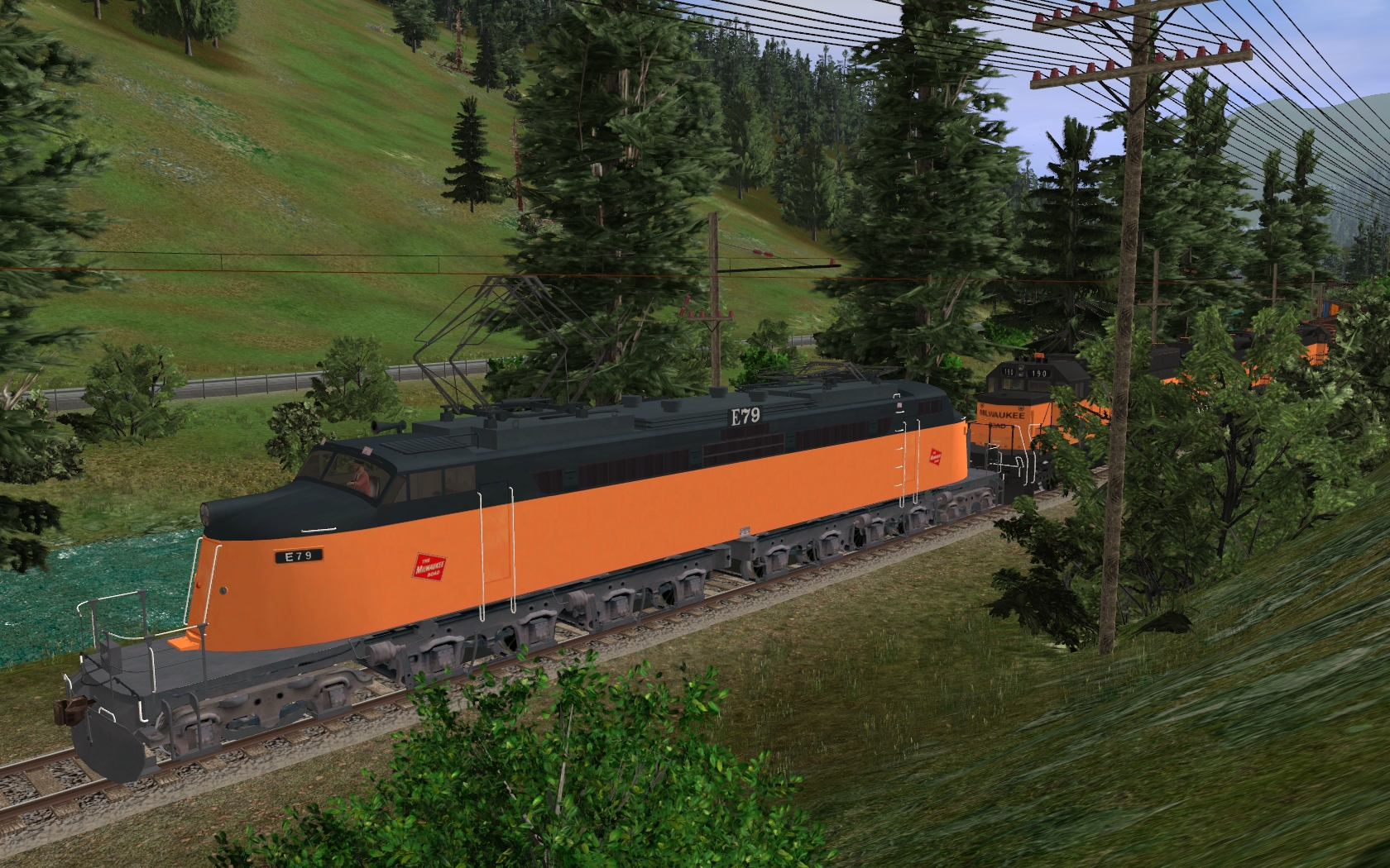
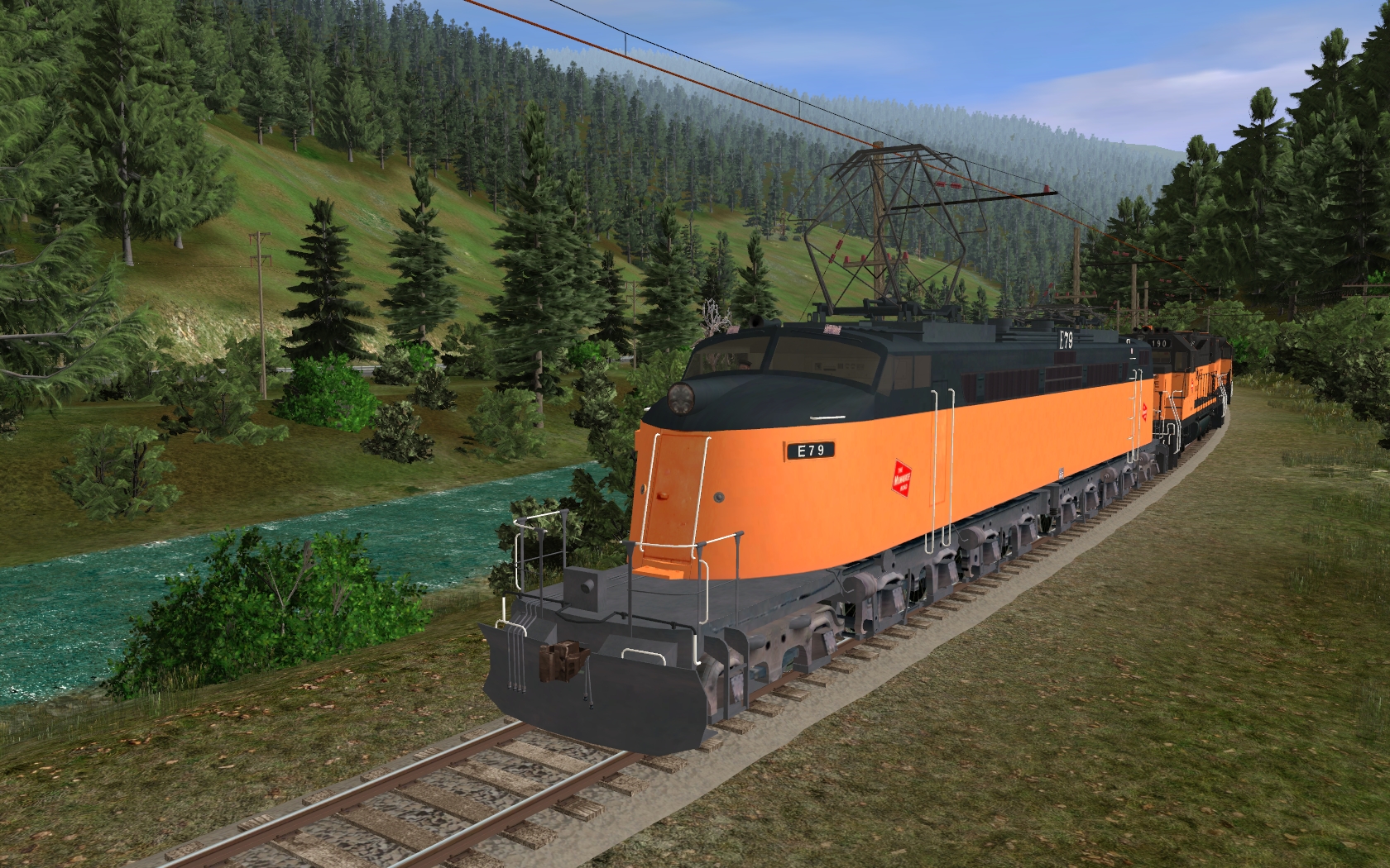
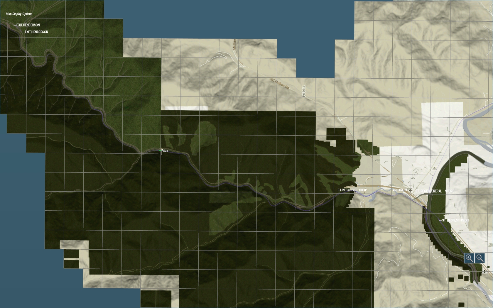
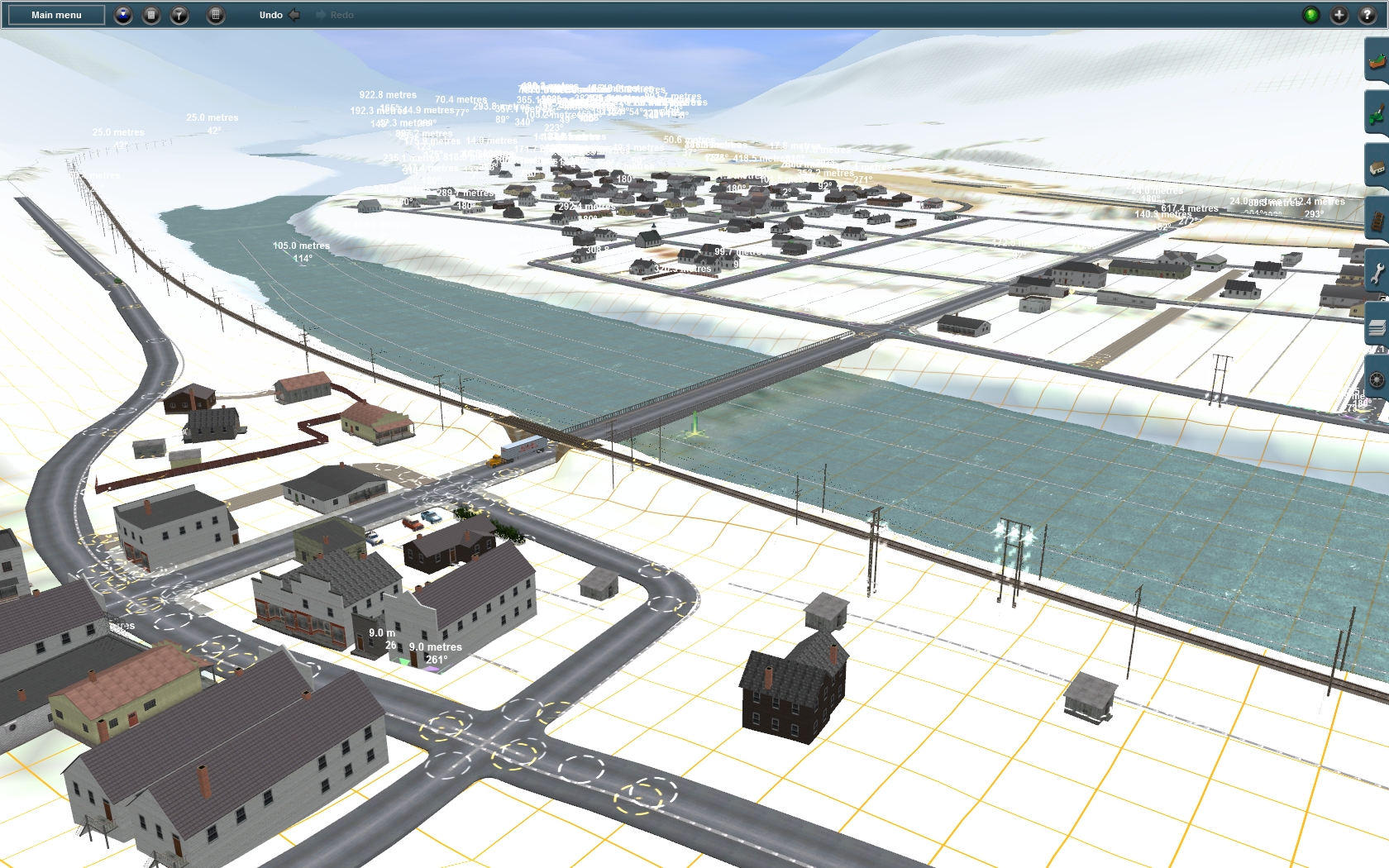
The second thing with needs to be done right at the beginning is the implementation of the main tracks. At this step I did not take care about any sidings or small roads. This step is very important for the quality of the route. The goal is to find the right position of the main tracks in relation to the main rivers and the main roads and to the towns along the way as well as in relation to the terrain relief. One information contains the route itself due to the map texture applied all over it. But sometimes such map-textures are not exactly. Fortunately Google – Maps provides a nice measurement so the position of the main tracks, the main rivers and the main roads can be figures out in relation to each other quite easy. By orientation on the map texture and by using the rulers in trainz it is now possible to implement these things into the route. At the end the track, roads and rivers used to look from above very similar like in Google – Maps. But still we don’t have adjusted any heights to the track spline points.
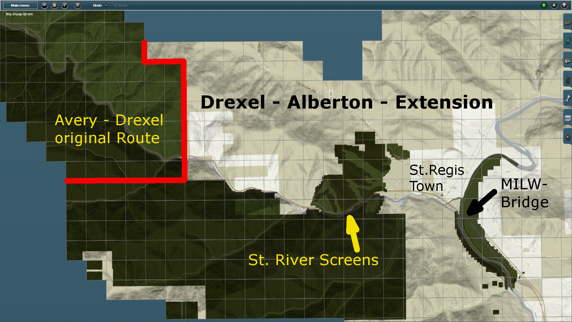
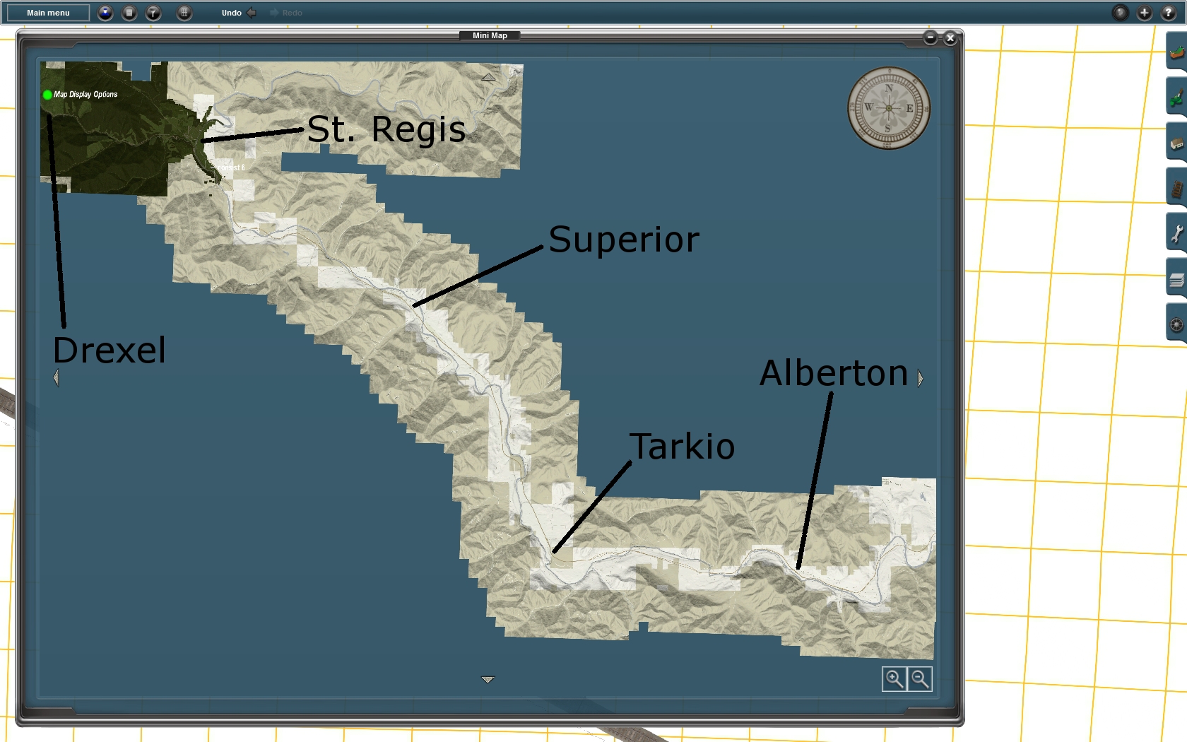
At the present state the main track, roads and rivers has been implemented at the right place all the way from Drexel via St. Regis, Superior and Alberton to the east end of the terrain route near Missoula, Mt.
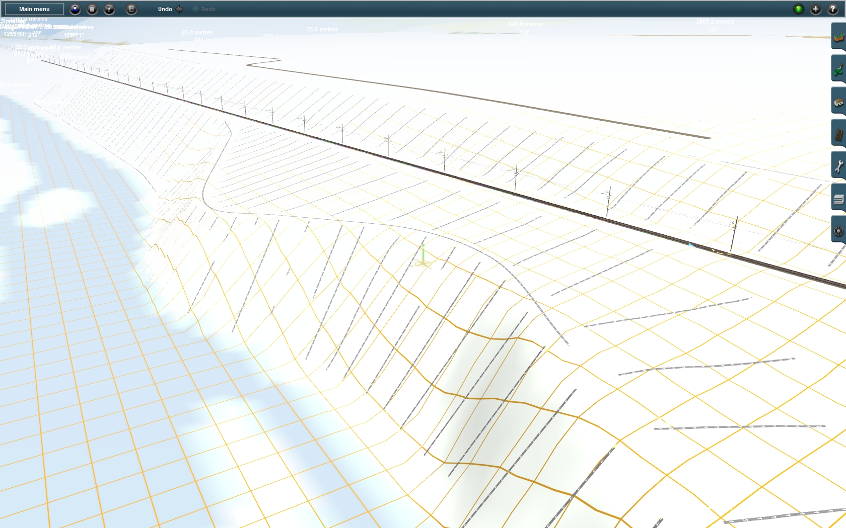
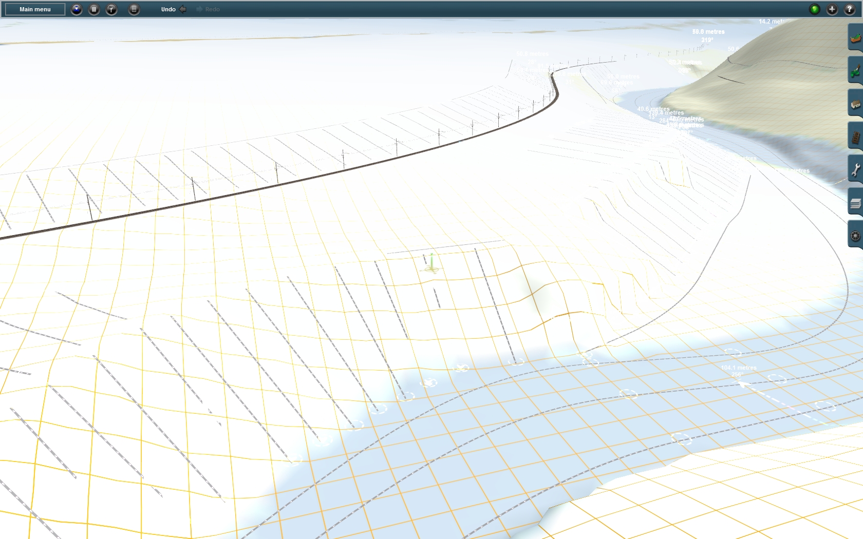
Step 3 – Height Adjustment of main Tracks, Roads Rivers:
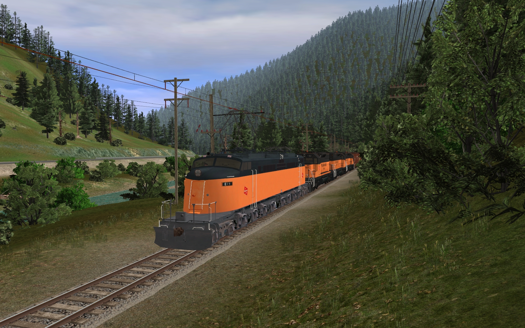
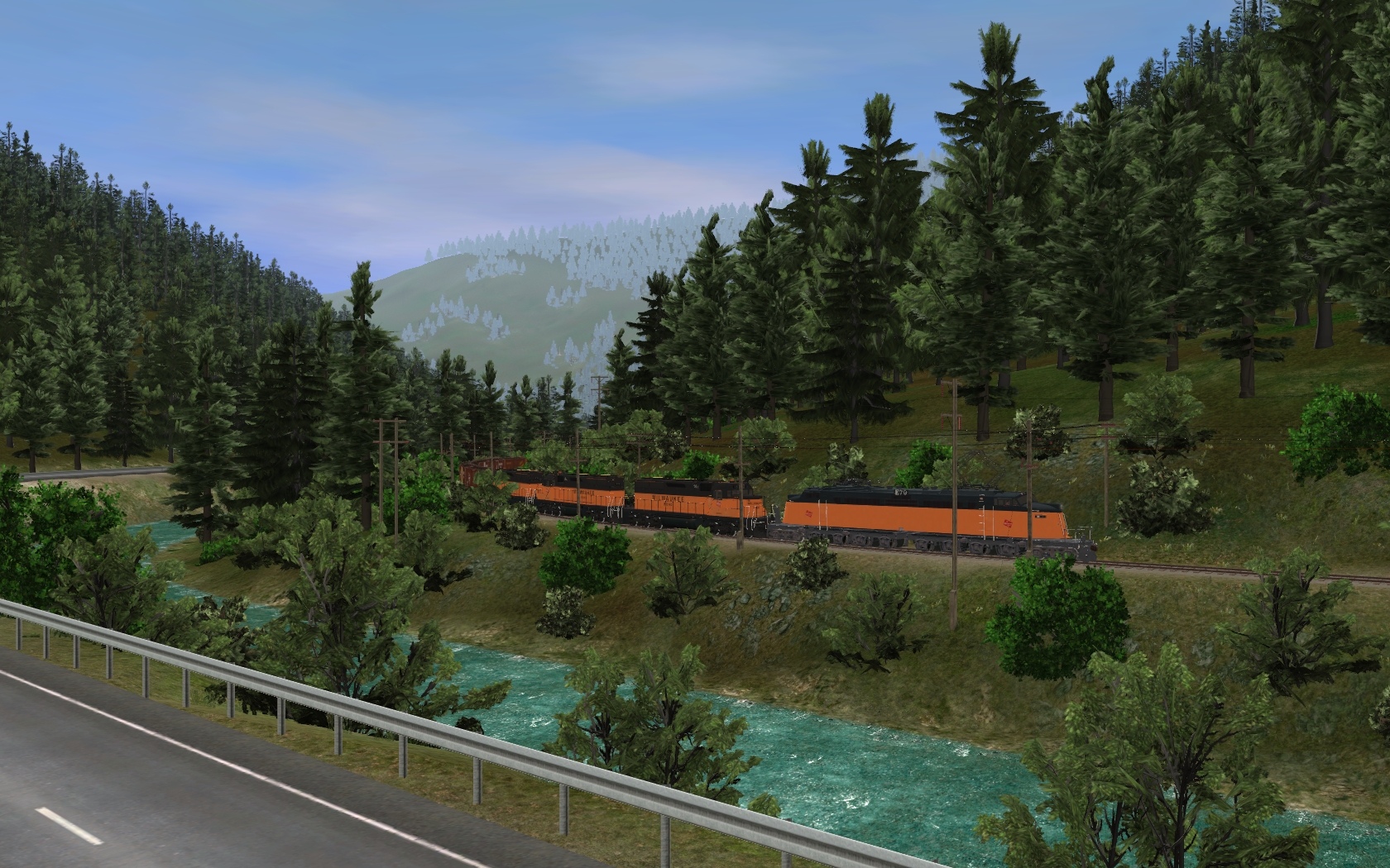
Unfortunately the terrain relief at a terrain only route is not exactly enough to stay with it as it comes out of the creation process. In case of the Alberton – Extension the route included lots of hollows and bumps mainly along Clark Fork River which unfortunately also affected the terrain for both MILW and NP ROWs. But even without this special challenge the terrain needs a lot of attention – especially close to tracks, roads and rivers. At the beginning it is important to find some points inside the route where the height of tracks, roads and rivers is quite valuable or derivable from photos. The first height point at the Alberton – Extension was given by the last track spline point at the Avery – Drexel Route. The second position is at the NP – Depot at St. Regis, Mt where the MILW line went over the NP line. Unfortunately this place is located right beside Clark Fork River and the terrain included several bumps and hollows making it impossible to estimate any track height from the terrain being around. Therefore is was necessary to consider both rail corridors and the Clark Fork River in a radius of about 5 Kilometers around St. Regis to work out the needed height information. The height of Clark Fork River has been figured out first and has then been used as a reference. Sometimes methods like the arithmetic mean provided help. Also one thing is quite sure – rivers does not flow uphill. After estimation of the river height old photos helped a lot to find out the height position of the NP tracks just located next to the river. The height difference e.g. could be figured out from several different pictures indicating a train of boxcars running on the NP line. By measuring the boxcars at the pictures and the distance of the tracks above the river provided the needed information. As the height of the NP tracks near St. Regis has been determined, it was not too complicate to find out in which height the MILW tracks once crossed over the NP line. From this point forward it was not too difficult to determine the height of each track spline point along both Rail Roads to create smooth uphill going lines toward Alberton.
The height adjustment for the main tracks and rivers has now been done all the way through the route. The main roads, mainly the Interstate 90 and the old Highway 10, has already been height adjusted from Drexel to Tarkio but still needs to be done further east.
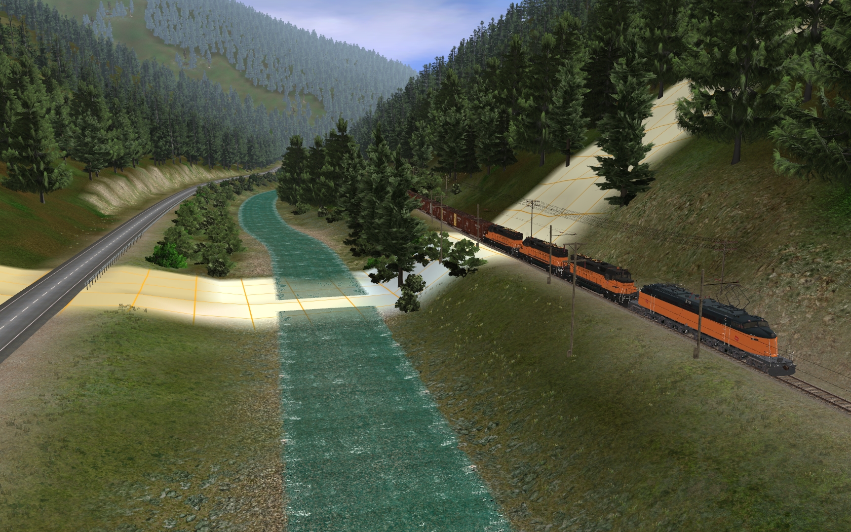
Step 4 – Terrain Forming:
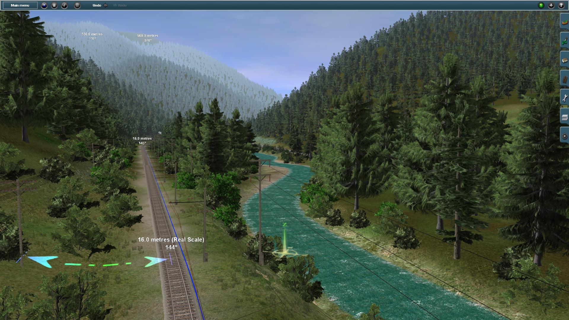
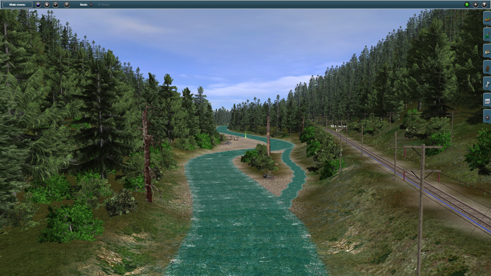
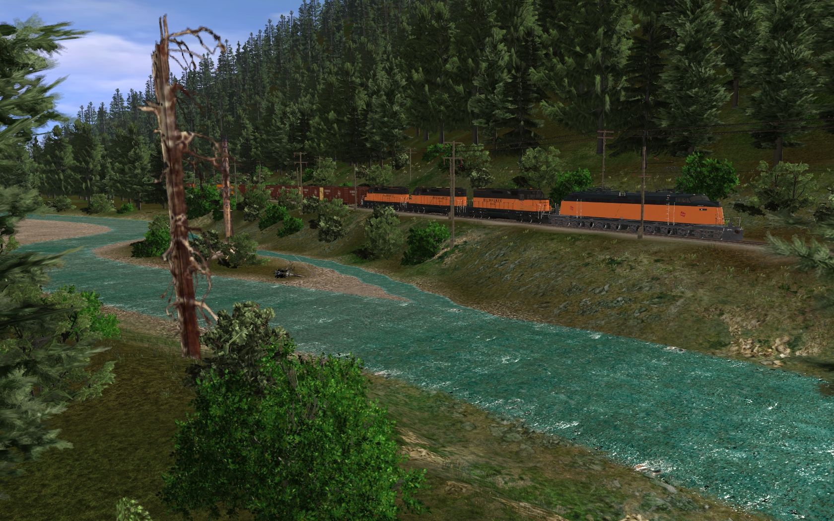
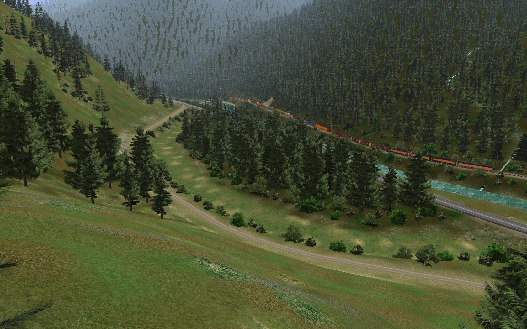
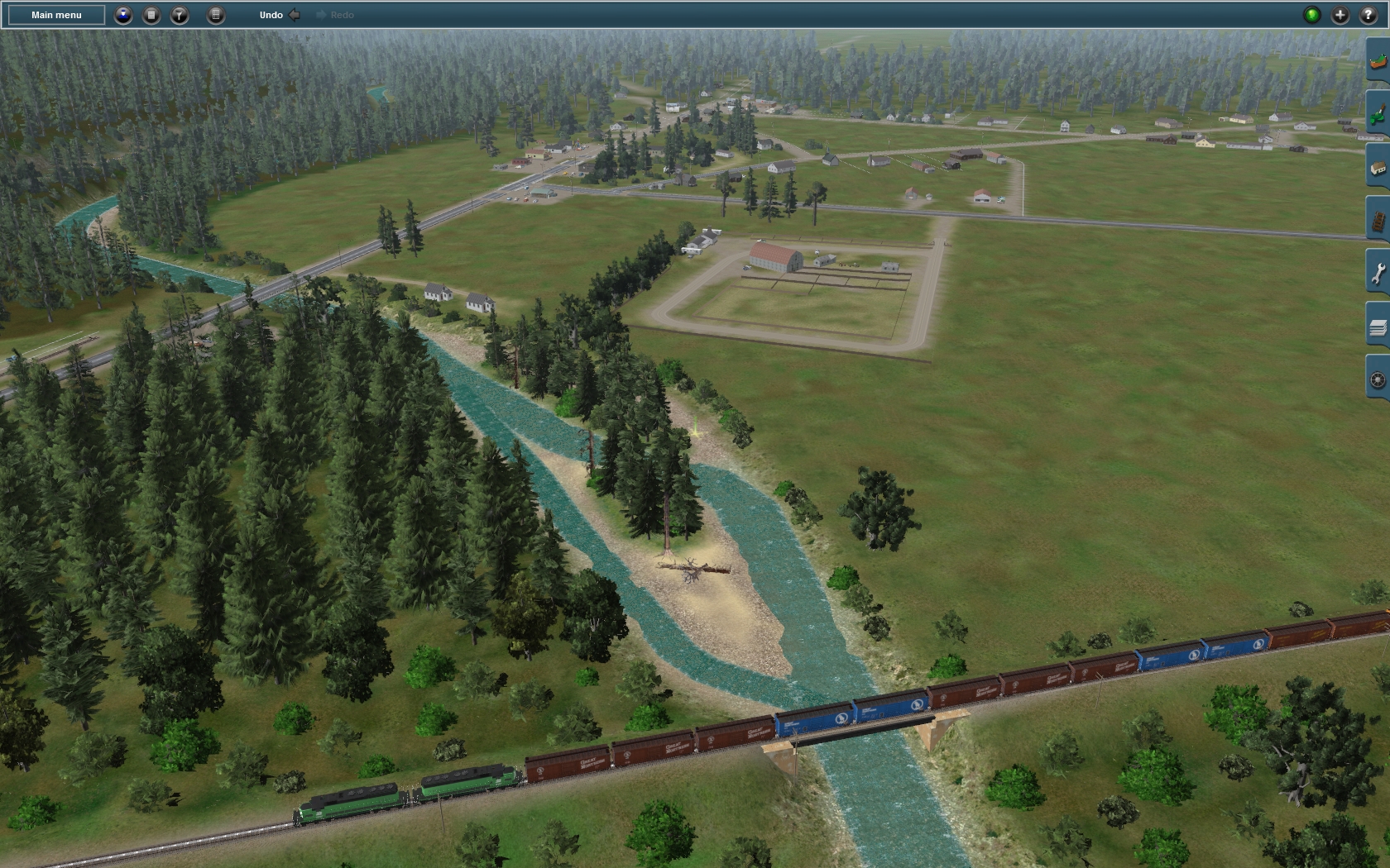
As mentioned the terrain only route contained several hollows and bumps mainly along the main rivers and the area left and right of it. This also affected the terrain where both Rail Roads are situated. Therefore the whole terrain at the river sides and the embankments of the Rail Roads needed to be reworked and finished manually. This requires to study the appearance of these areas very carefully by using the information from Google – Maps and several pictures. In this route many, river sides and rail embankments are just slops falling straight down from its maximum height towards the riverbed. This allowed the use of helper splines which have been implemented in a short distance to each other just along a slope segment which was to create next. The main terrain changing has then been done by using the “adjust ground to spine” tool followed by some detail adjustment work been carried out manually.
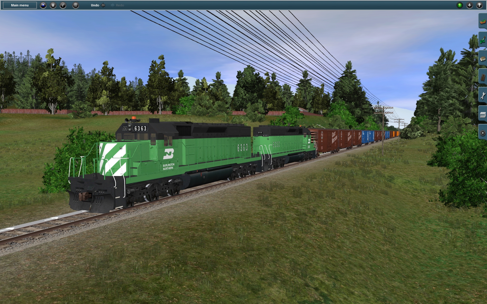
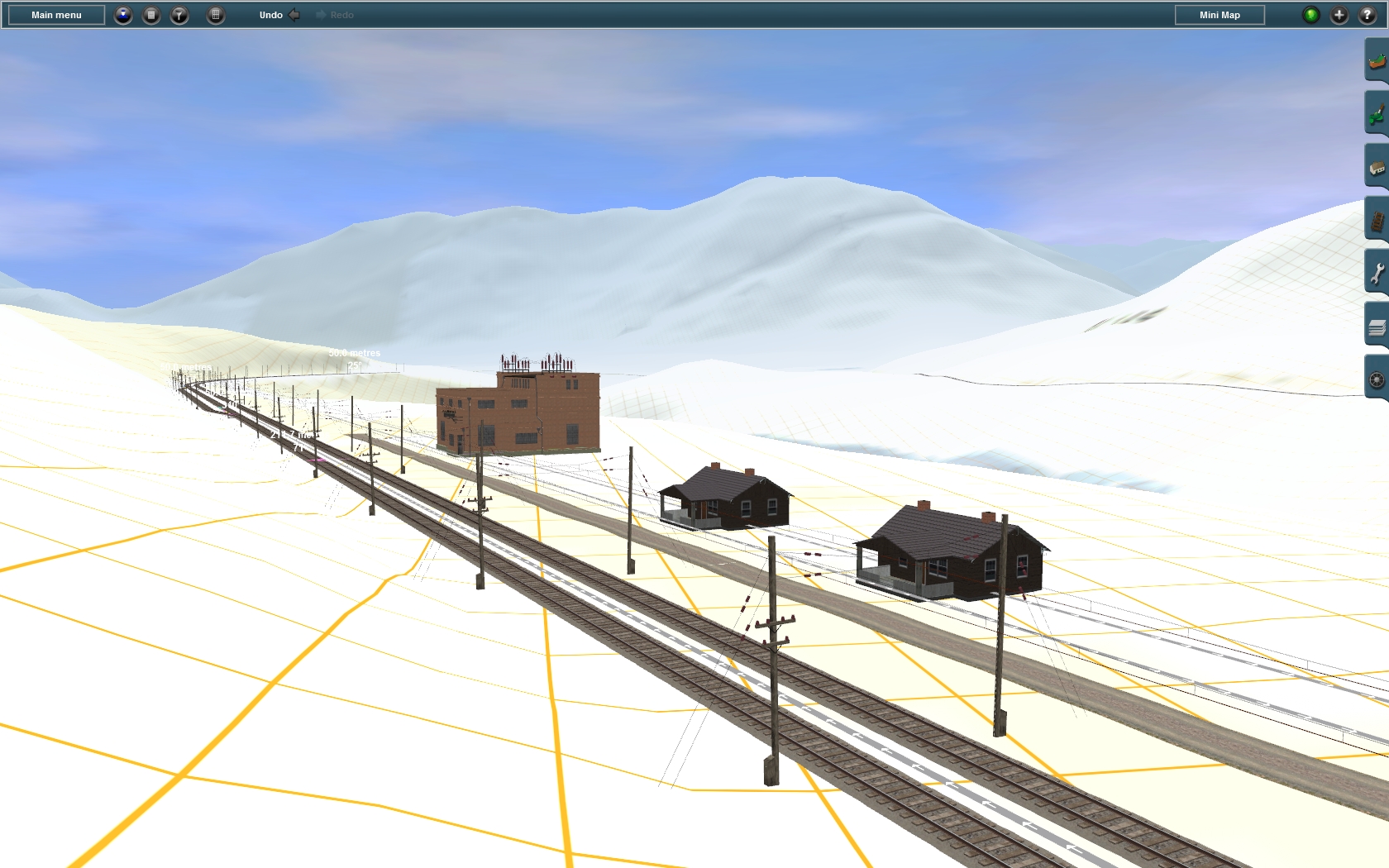
The terrain besides St. Regis River has been finished. At present the height adjustment work along Clark Fork River has been done from Drexel to about 7 Kilometers southeast of Superior. From that place the terrain at the MILW side of the river has been finished all the way to Tarkio. Also the terrain at both sides of Clark Fork River has been done from St. Regis about 10 Kilometers alongside the NP-Paradise-Shortcut. The terrain adjustment besides the NP-Line has been finished from St. Regis to about 7 Kilometers southeast of Superior. Within the terrain forming progress along Clark Fork River and the Rail Roads also the MILW-catenary-splines and the MILW-HV-power-splines has been positioned from Drexel to Tarkio and the telegraph lines reaches from Drexel to St. Regis.
Step 5 – Implementation of side Tracks, Roads Rivers and Buildings:
As soon as the main tracks roads and rivers has been adjusted in its height, also the work at the side tracks, roads and rivers can be stared. Also in this step it is important to compare the route creation results permanently with Google – Maps and photo information. This step is also about creation of the streets inside the towns. This needs to go hand in hand with the placement of all the buildings and houses. Here it is quite important to measure the position of the street crossings and the distances between the roads very carefully in Google – Maps. Due to the narrowness in the towns any misalignment or wrong distances between streets could – and mostly will – result in wrong looking corners inside the towns which reduces the recognition level.
At the present state all side tracks, roads and rivers has been finished from Drexel to St. Regis and at St. Regis itself. Also the street network at Superior has been done. The houses and buildings has been implemented from Drexel to Superior except the buildings which could not been placed in due to a lack of suitable assets. The houses in the town Superior has been placed to about 50%. Also the siding tracks has been placed at both Rail Roads from Drexel to Superior and at Tarkio.
Step 6 – Terrain Decoration:
This step is about to decorate the land within the required ground texture and environmental assets like speed trees and grass splines. Again this needs to compare the result of the route progress with Google – Maps, to meet the reality as close as possible. Also this step is about implementation of more nice looking details and goodies making the route real and interesting looking. This eventually applies charm and character to the route and creates these little corners we like to take screens from.
Step 7– Content Creation:
Of course all the content required to create such route needs to be created first. At the moment I could lean back onto the huge number of assets I created before. But the Alberton - Extension still requires a lot of new assets. The assets are for example several bridges over Clark Fork River, the MILW depot at Alberton and the NP/BN depot at St. Regis as well as some other MILW/NP/BN trackside houses and structures. In addition to this I need to create a quite known and characteristic looking Motel and the Court House and the High School at Superior besides some other houses for Alberton. Of course it is not possible to create every house and structure individually and it is also not the aim to do so. But the most known buildings and structures should be created individually which increases the recognition level of the whole route.
Your’s TUME