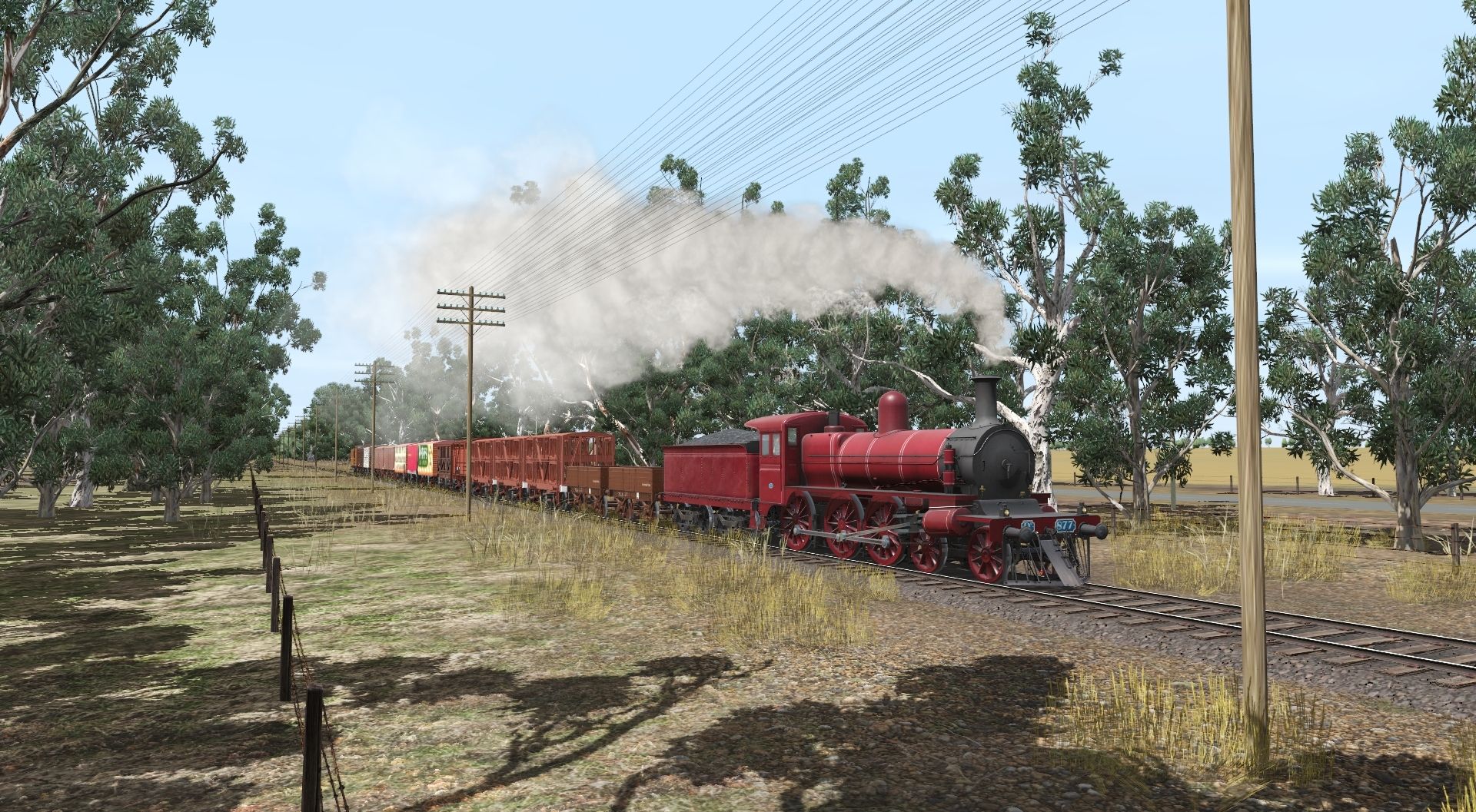
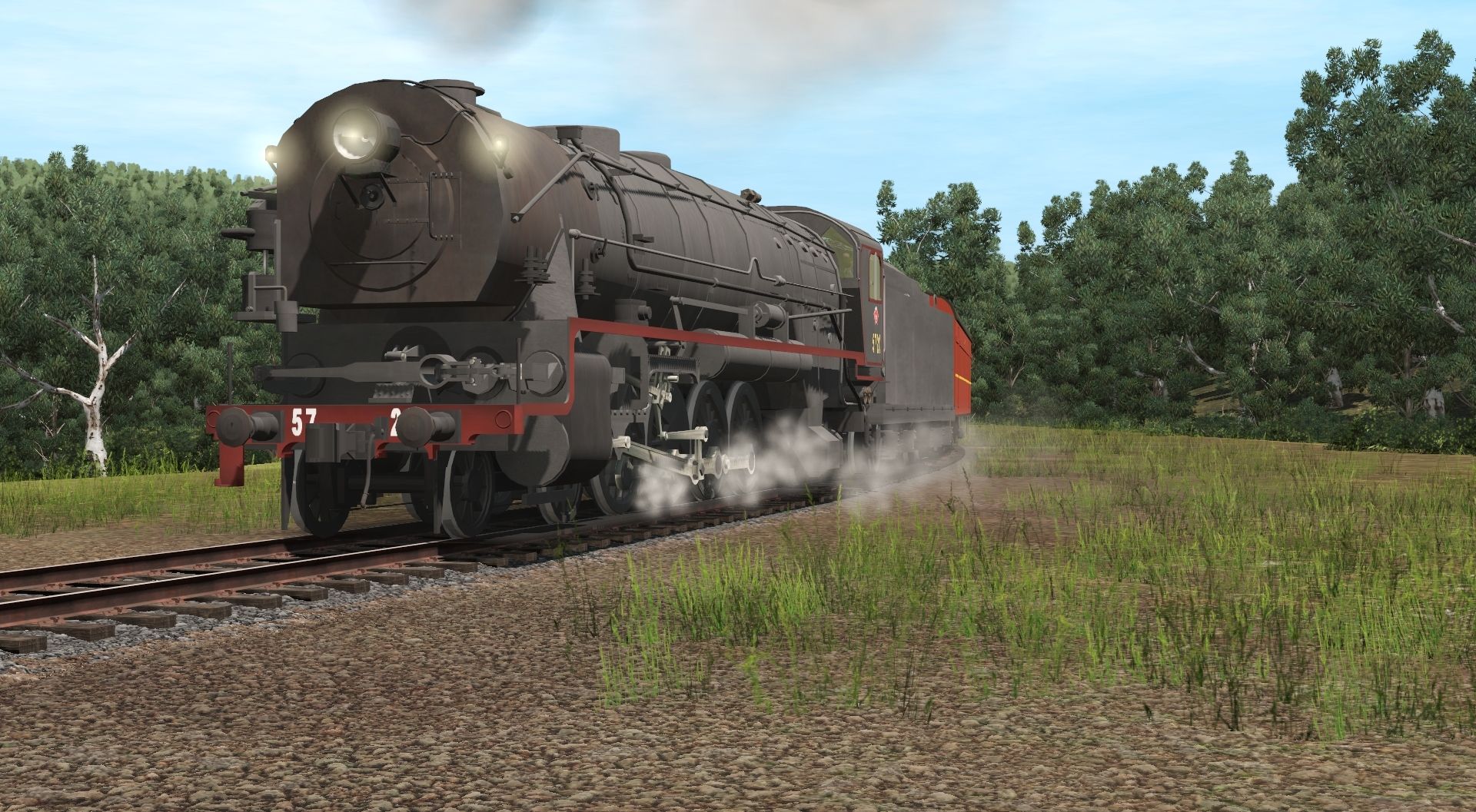
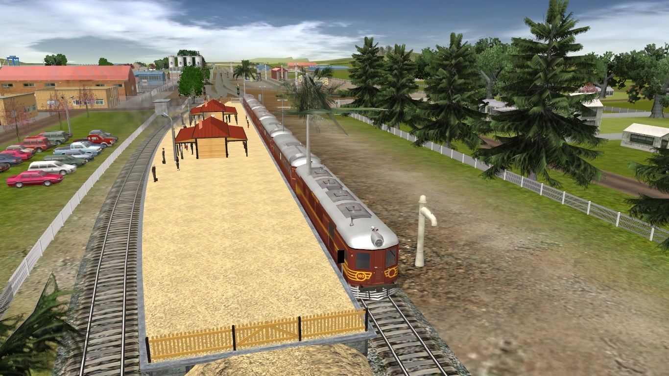
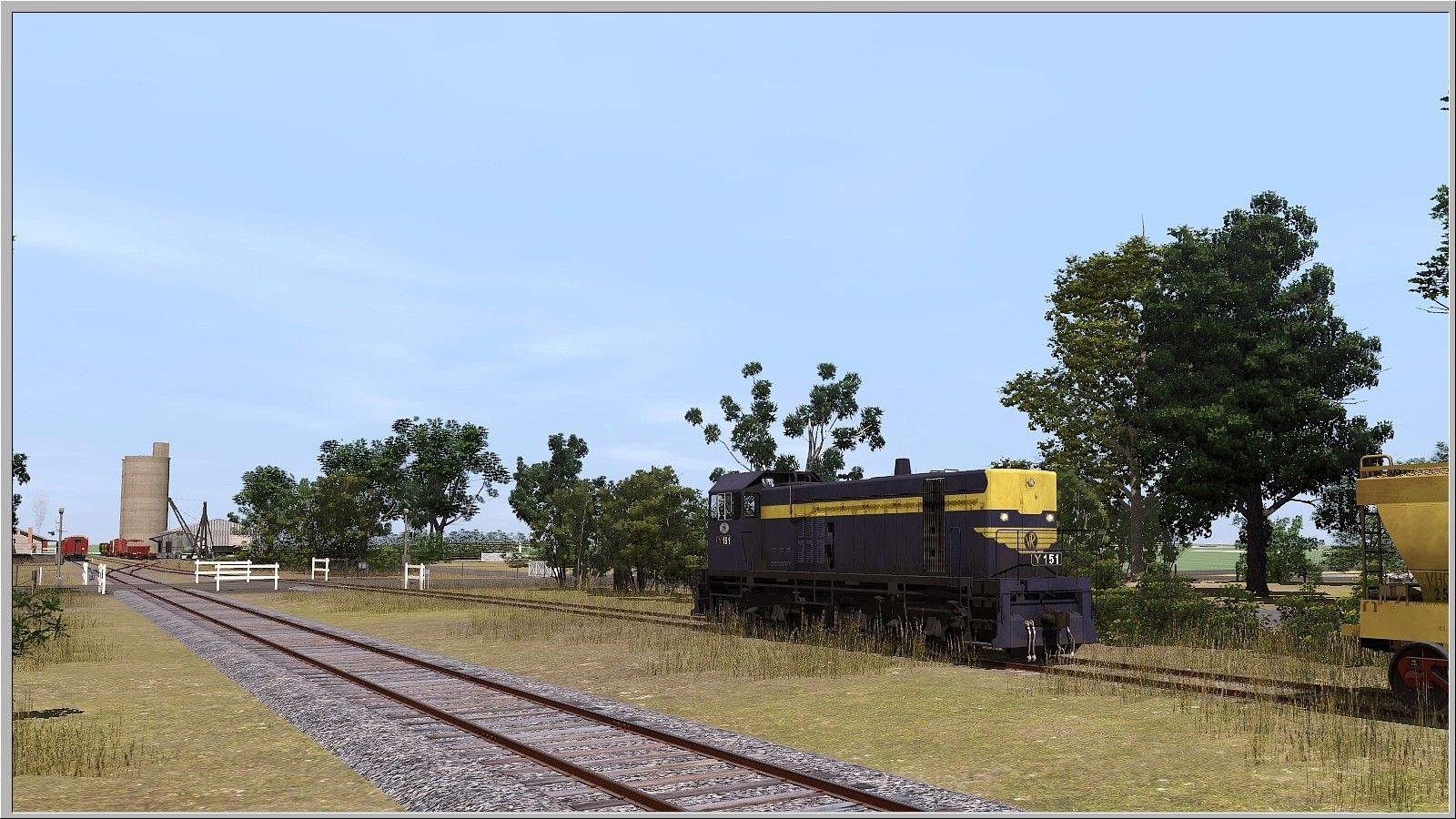
A pretty contrived screenshot of Y151 idling clear of the Hopetoun-Rainbow Road crossing at Hoptoun in western Victoria as it waits for the Up Patchewollock Pass to clear the main. Contrived because it's the first screenshot from a new route and it's just about the only shot possible which isn't mostly untextured grid, but I only received the DEM base a couple of days ago, and a start is a start.
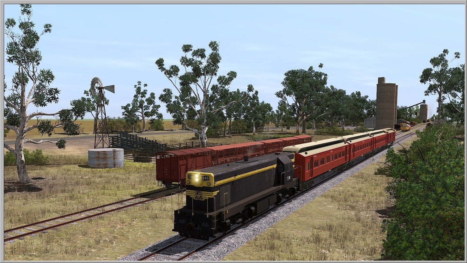
Plan 'A' was a modern standard gauge route from Murtoa to Hopetoun, but after plonking some blue and gold on the modernised Hopetoun I have back-dated the track layout to plans and photos I have form mid 70's, ordered a DEM extension to Patchewollock, and my thinking is (assuming it ever gets 'finished') to release a mid 70s version, which wouldn't be hard to backdate even to the 50's, and do to do pretty much exactly what the prototype did and bulk-asset replace the track to standard gauge, simplify the track, change traffic regions and modernise some bulk wheat handling facilities and release a modern version as well.
That's the plan. Reality will be along shortly...
Huge thanks to Peter for some amazing work, and as always thanks to Mick for gently nudging me in the direction of a local route. It took a lot of nudges over a long long time, but here we are....
")