Install the app
How to install the app on iOS
Follow along with the video below to see how to install our site as a web app on your home screen.
Note: This feature may not be available in some browsers.
You are using an out of date browser. It may not display this or other websites correctly.
You should upgrade or use an alternative browser.
You should upgrade or use an alternative browser.
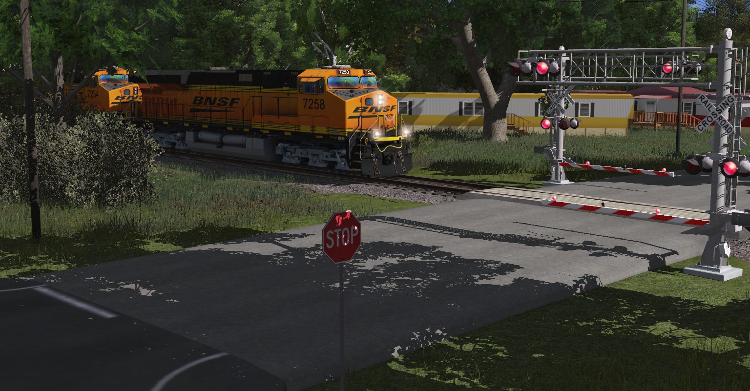
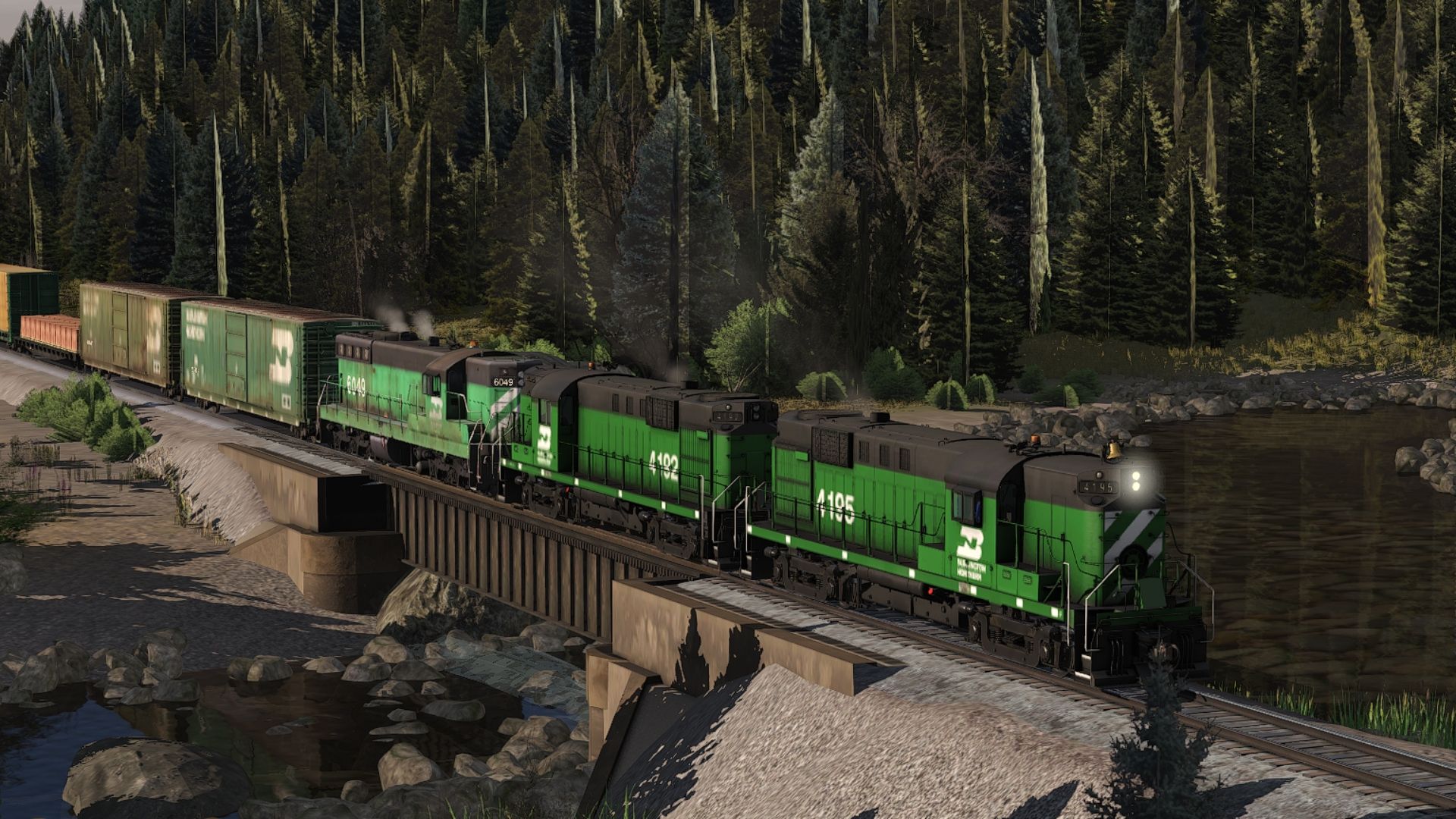
USA Pics
- Thread starter Dermmy
- Start date


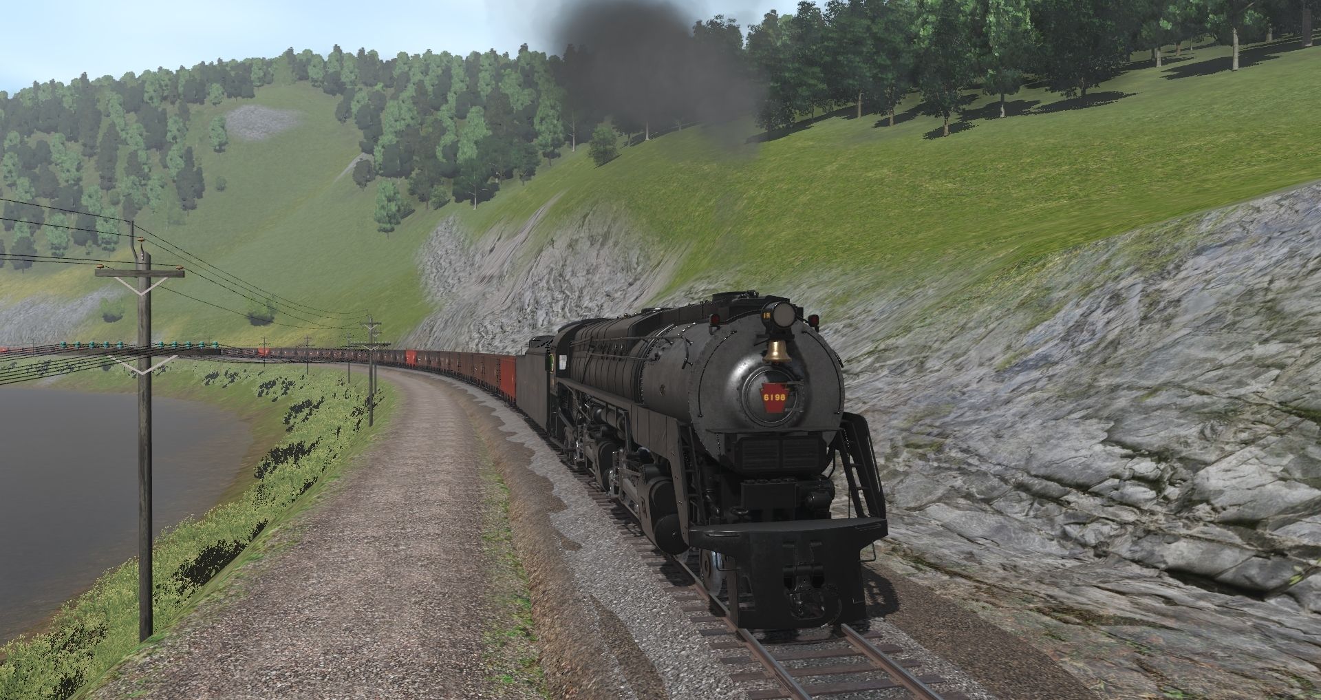
Images are not showing this morning, but are you developing the DEM that was on DLS? That would be great!Green River Subdivision (DRGW Subdivision #5)

That DEM on the DLS was made by me a while ago, and I've gone through many iterations of this route due to trainz loosing the file/corrupting it etc., I've also made many other DEMS of the DRGW System, Including the Subdivision #6 (Provo Sub/Soldier Summit), Subdivision #7 (Provo to Ogden) But in short yes, this one runs the whole Subdivision #5 from Just West of Helper UT to Just East of Grand Junction CO.Images are not showing this morning, but are you developing the DEM that was on DLS? That would be great!
Not Going after a Scenic Masterpiece by any means, but something that wont kill the Computer, Vegetation is sparse, but so it is in real life as well. This area is often referred to as Earth's little slice of Mars, due to the desolate area and high Book Cliffs that dot the landscape. If There wasn't such a limitation, My Original Idea behind making all 3 Subdivisions of the Utah Division was to Eventually allow you to Run from Ogden Utah to Grand Junction CO, while also Including the Various Branches such as the Pleasant Valley Line to Skyline Mine - Near Soldier Summit, Sunnyside Branch, Cane Creek Branch (to Moab) and the Utah Railway.
joshmeister
Proud Railfurz Member
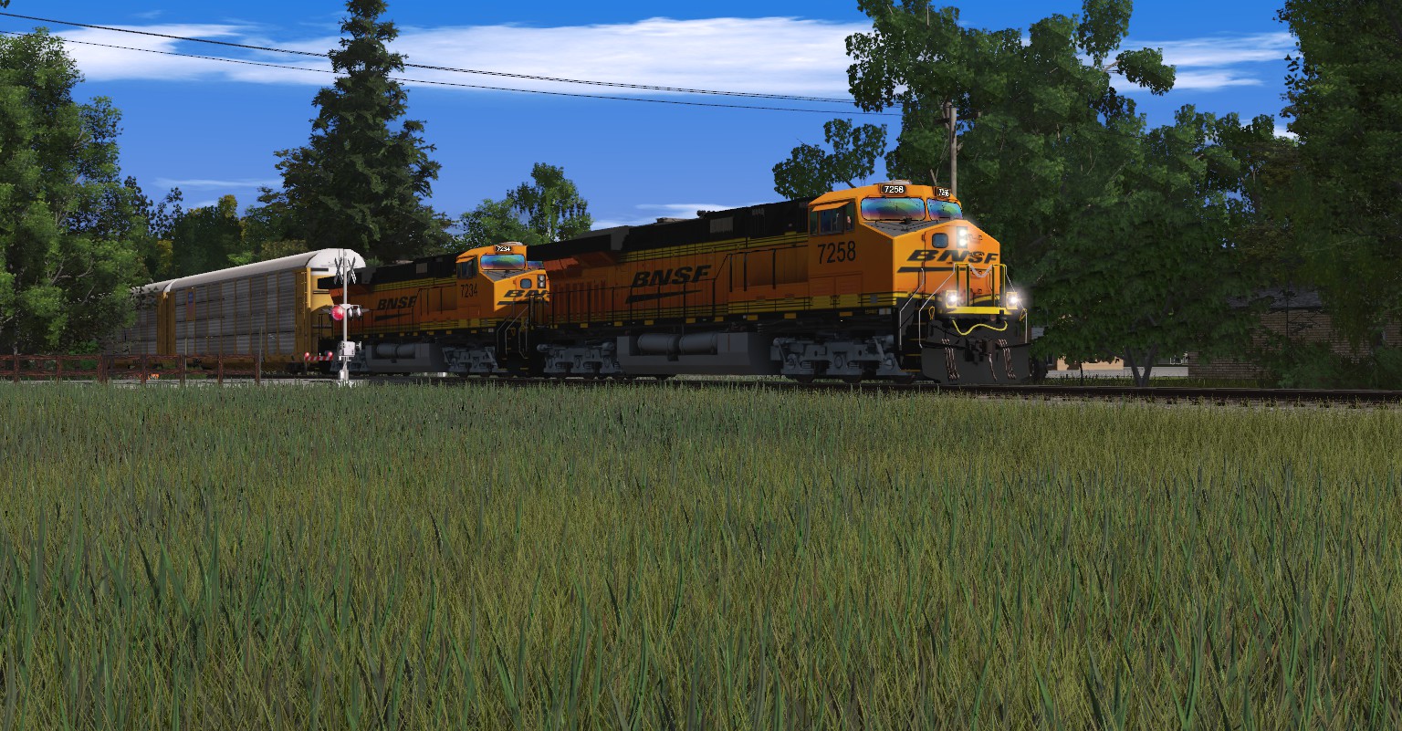
La Salle, Rockford & Central Railway 4995 leads sister 4993, an SD40-2 and a GP38 north on LSRC train M21, the Granville ATSF to Rockford CN road transfer and is seen just south of La Salle Illinois on a hot July day in 1995. The LSRC is the Santa Fe's (Fictional) North/South "La Salle Secondary" that ran from a (Fictional) transfer in Granville Illinois to Rockford Illinois to the CN. The line was sold to the state in December of 1989, at which point the "La Salle & Rockford Joint Railway" was formed, rebranding in 1990 as the La Salle, Rockford & Central Railway.

BBarnes005
Well-known member


blueodessey
Well-known member
Great looking Locos, contrast nicely with your Snow Scene..Looks a little Cold out there, hope the Crews have Hot Coffee or Chocolate.

hiawathamr
DLC developer for Trainz
Cheers
hiawathamr
DLC developer for Trainz
double posted by accident - deleted
Southern425
CMF

Last edited: