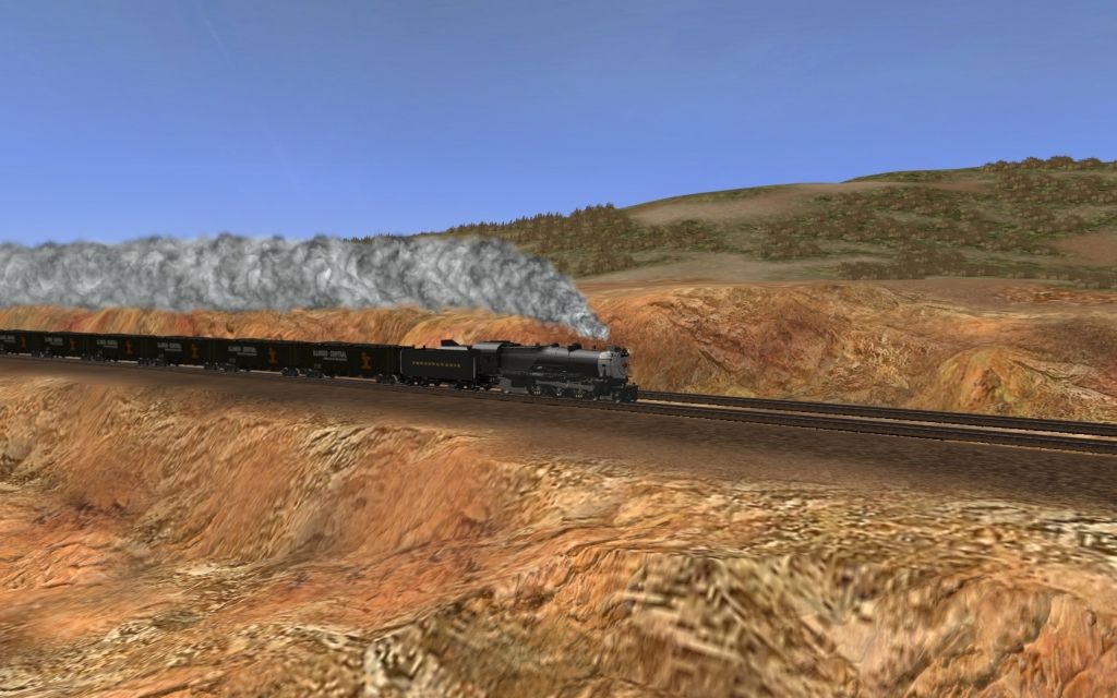
USA Pics

These are awesome !!

kon1786201206300000.jpg

kon1786201206300001.jpg

kon1786201206300002.jpg

kon1786201206300003.jpg

kon1786201206300004.jpg

kon1786201206300005.jpg

kon1786201206300007.jpg

kon1786201206300008.jpg

kon1786201206300010.jpg

kon1786201206300011.jpg
 
SouthwestinAZ1: Yes they are..Some of the formations I've seen in Arizona are Fantastic..I started out in Southern Utah and hope to do the Rim and then down to the desert towards where I Live..All fictitious..
 
Hallo Hert,

nice to see you are operating trains at my route.
There must have been something at the BN mainline – perhaps a big rock slide between Sandpoint and Spokane – which forced the BN to reroute some freights via the Milwaukee Road tracks. Fortunately there is a connection curve at St. Regis (just a little east of Drexel – not part of the route) where the BN train can go down back onto the BN tracks to Alberton and further to Missoula while the Milwaukee Road track crosses the BN tracks and the River to make its way to Alberton too – but just at the other side of the River.
BTW No tracks at all remained at Avery and at the whole way to St. Regis. The connection curve has been dismantled and today the mentioned bridge only spans over the River as the part over the BNSF has been lifted away. Well it is probably not permitted but if somebody would not mind and crosses the river at the old Milwaukee Road St.Regis Bridge – he just would come onto a golf course perhaps falling into some sand holes where once Milwaukee Roads St.Regis sidings used to be.
So it’s really nice that you are keeping the memory of that RR by playing with that route.

Happy Trainzing :)

Your’s TUME

PS: I like the speed trees which once have been invented together with that route at TS2010. But just the distance – LOD – part of the trees at your screen looks a bit strange as the trunks looks a bit naked from that view which is a bit unlucky. :'( :D
 
Back
Top