USA Pics

Kentucky & Tennessee Continued.

The Kentucky and Tennessee project continues westward toward Cookeville Tennessee in this series of photos.
Please go to Google Maps and type in 11800 Woodcliff Rd or 10584 woodcliff rd and use your pedastrian guy to view the just two of the many KT railroad crossings between Algood and Monterey Tn. These two do little justice to the true beauty of this wondeful area.
I will do my very best to represent this beauty on my system although mine is et in the spring.
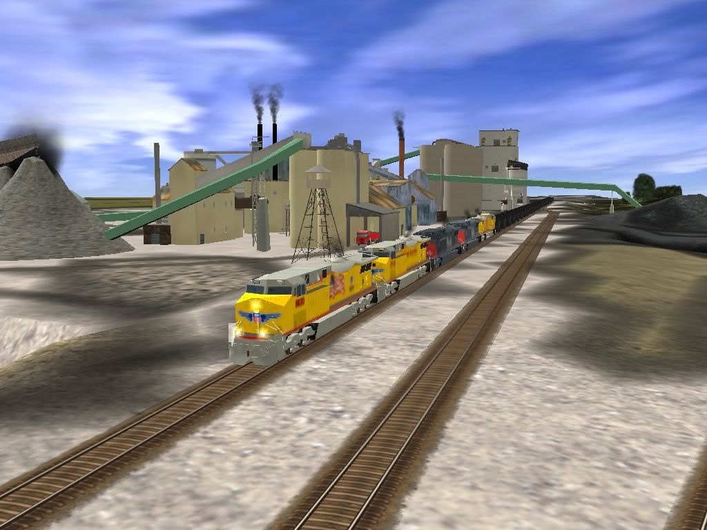
Here is a shot of the Monterey Turnoff uncompleted.
trainz2009-06-2320-21-44-51.jpg


Cheers,
Woody
 
Impressive, you neatly setup that neighborhood acurately... The plants and all are blended so nicely. The Wig-Wags really set the scene, I like it. The scheme doesn't agree with me entirely, but it's very good.

I have a question, were did you guys get those C units for CSX?

Joshua
 
I have a feeling that that boulder texture is from the TS2009 HD texture pack, its available somewhere in the main menu. It comes with 50 or 40 HD textures that you can use on your route
 
:hehe: I have once again got the direction of the world backwards, so if released in the future, please note that east is west and north is south!

World origins can come in handy, especially when doing prototypical routes and making airports. Click on the tab with earth on it in surveyor and look near the bottom.
 
I've always wondered what happens, say if I place that Auran birdbath-"world origin" on the Horseshoe Curve, would thay mean Altoona is the center of the world ?:cool:

World origins can come in handy, especially when doing prototypical routes and making airports. Click on the tab with earth on it in surveyor and look near the bottom.
 
Unless you are from Austrailia, from their perspective the world must be upside down.:p It is late Autumn, approaching the dead of Winter, there now, and 40 degrees in Tazmania.:eek:

:hehe: I have once again got the direction of the world backwards, so if released in the future, please note that east is west and north is south!
 
Last edited:
Nice pics. Please tell me what texture you have used for those boulders below the railroad.

The textures are not available for free, the route is the Payware layout of Rollins Pass which was created by our Italian Trainzy friends, they produced these very special Canyon textures for this particular route. You can purchase the layout and also the West of Denver route from the TrainzItalia International website, there are 4 routes altogether, 2 produced in the winter and 2 in the Fall......
http://denver.trainzitalia.com/forum/index.php

Cheerz. ex-railwayman.

Many thanks for your response. To buy Rollins Pass from trainzitalia is one of my future projects.
 
Austin Western RR locos work the BNSF-AWRR interchange at McNeil, TX:
Screen_001.jpg


UP and (former) SP locos haul empty hoppers north past the Austin White Lime plant, also at McNeil, TX:
Screen_002.jpg

More to come!
 
Caliente

up4d.jpg
up3nyt.jpg
bnsf9.jpg
My rendition of the famous CA hotspot,would be a cool spot to hang out for a day,I haven't got to bent trying to detail the location to the tee just wanted to capture the essence of the place in Trainz the best I could do living on the other side of the world using railpictures.net & G Earth as a reference.:wave:
bnsf8.jpg
 
Back
Top