Install the app
How to install the app on iOS
Follow along with the video below to see how to install our site as a web app on your home screen.
Note: This feature may not be available in some browsers.
You are using an out of date browser. It may not display this or other websites correctly.
You should upgrade or use an alternative browser.
You should upgrade or use an alternative browser.
USA Pics
- Thread starter Dermmy
- Start date
The boxes you're referring to are UTM tiles; I find them cumbersome and do not use them in my routes. If you do not select the UTM tiles as part of your export, there is an option to use the geo-referenced raster map as a ground-texture overlay. This is what I normally do for my routes--so a ground texture of an entire large area (let's say the NEC for example) is entirely plausible in TransDEM and can be exported into Trainz if done carefully and correctly.
-A :wave:
Ah I see! I started out with transDEM back in 04 and if I recall, exporting textures onto the map directly looked horrible (with my mediocre video card of course). Thanks for clearing that up and for reminding me of that option. ^^
Great shots Flusi!


Where is the ICE Loco from, I live right near the CP Sunbury Sub and see this loco all the time on CP 258/259Waiting for traffic ahead to clear, CP 632 cools its heels just west of Grand Crossing here in La Crosse

64Warhorse
New member
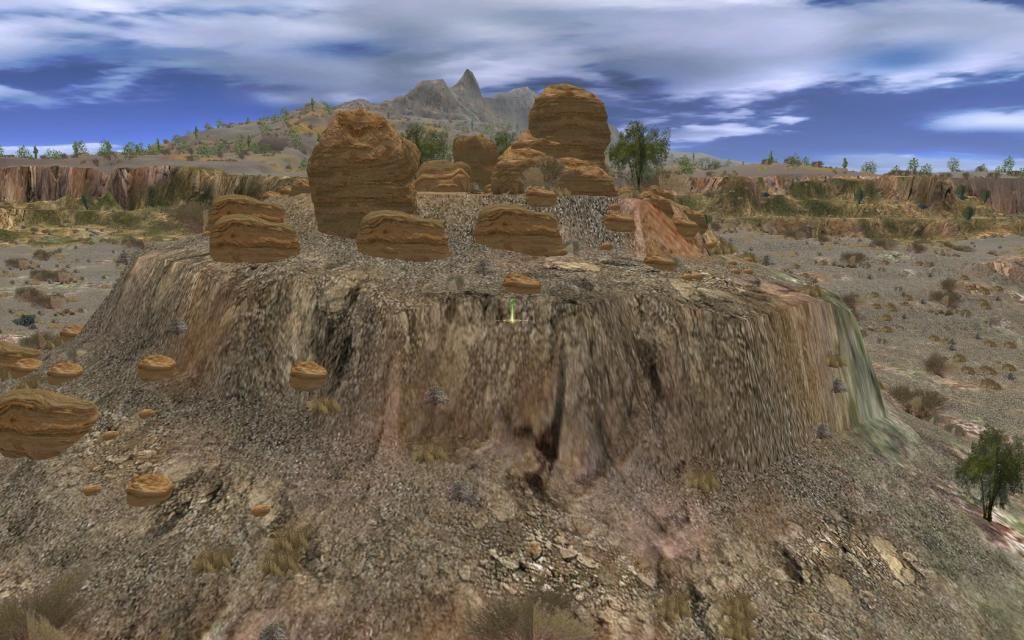
Bob, not trying to slag you here, but the fact that the boulders on top of the mound all have their grain running horizontally, while the underlying terrain all has vertical grain, is something my eyes lock onto immediately, and I find it very jarring. If the boulders are supposed to be part of the native rock, they should be rotated about 90*, and if not, they should probably be in random orientations, rather than all the same as in the picture. Otherwise, quite nice. ")


acelejalde
Urban Transit Developers
Ah I see! I started out with transDEM back in 04 and if I recall, exporting textures onto the map directly looked horrible (with my mediocre video card of course). Thanks for clearing that up and for reminding me of that option. ^^
Great shots Flusi!
Even with the current TransDEM, the ground textures aren't much better, not to knock the awesomeness of the program. If I recall it has to do with the pixels and satellite imagery and TransDEM only being to handle a certain amount before being inundated with too much data to render. I'm usually on a +15 zoom (I used to use 17 but it made the map tiles much smaller in area), and in surveyor, if you zoom out enough, you're still getting a "clear" picture. It's still a little fuzzy, but a hell of a lot better than zooming all the way in. I don't like using the UTM tiles also because when I'm rotating other map objects, 99% of the time it'll select the UTM tiles underneath the baseboard, and then my entire map is discombobulated and out of whack. I recommend UTMs only for areas where you need lots of detail and don't like alt + tab-ing between full-screen surveyor mode and Google Earth.
@Flusi: How how HOW are you able to create such beautiful looking double-slips? Those have been the bane of my existence as a route builder/content developer ever since I began. I've read countless tutorials and my issue isn't so much making them (not that hard), but making them look flawless like yours!
-A :wave:


trainsmaster2142
Member
will we see that alligator nose in near future as a release?
trainsmaster2142
Member
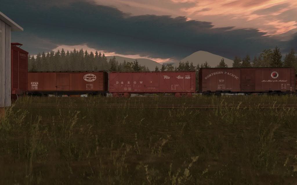
let me guess bdaneals rio grande car?Really enjoying the new boxcars just picked up off the interchange :Y:
-D.C.
__________________________________________________

@Flusi: How how HOW are you able to create such beautiful looking double-slips? Those have been the bane of my existence as a route builder/content developer ever since I began. I've read countless tutorials and my issue isn't so much making them (not that hard), but making them look flawless like yours!
-A :wave:
I can't really explain it...It's just because i did this 100+ times on the NEC and learned how to do it realistic
")

Felix Richter
Even with the current TransDEM, the ground textures aren't much better, not to knock the awesomeness of the program. If I recall it has to do with the pixels and satellite imagery and TransDEM only being to handle a certain amount before being inundated with too much data to render. I'm usually on a +15 zoom (I used to use 17 but it made the map tiles much smaller in area), and in surveyor, if you zoom out enough, you're still getting a "clear" picture. It's still a little fuzzy, but a hell of a lot better than zooming all the way in. I don't like using the UTM tiles also because when I'm rotating other map objects, 99% of the time it'll select the UTM tiles underneath the baseboard, and then my entire map is discombobulated and out of whack. I recommend UTMs only for areas where you need lots of detail and don't like alt + tab-ing between full-screen surveyor mode and Google Earth.
-A :wave:
Yeah, I figured exporting textures would still be blocky. I always thought it was a case of trainz trying to stretch the details out to match which is why that method looked so blurry. That's why I go with the google earth map tiles, since you can get a better looking image that can be moved.
You can always export the tiles to another layer, lock that layer, and then work in other layers accordingly. It is frustrating when needing to move a tile up or down, but it can be handy to not move/delete tiles, but still have them there (and you can also make them invisible by hiding the layer of course). Just my 2 cents.
Great shots all! Keep 'em coming!
acelejalde
Urban Transit Developers
Holy crap @Gisa. How come I've never thought of that?! Locking layers sounds like a great solution to my problem!
@Flusi: I suppose I will keep aiming higher and higher on my slips!
-A :wave:
@Flusi: I suppose I will keep aiming higher and higher on my slips!
-A :wave:
Similar threads
- Replies
- 0
- Views
- 180