Install the app
How to install the app on iOS
Follow along with the video below to see how to install our site as a web app on your home screen.
Note: This feature may not be available in some browsers.
You are using an out of date browser. It may not display this or other websites correctly.
You should upgrade or use an alternative browser.
You should upgrade or use an alternative browser.
UK Screenshots (Hi Res Version)
- Thread starter escafeld
- Start date
john_goddard
Steam freak
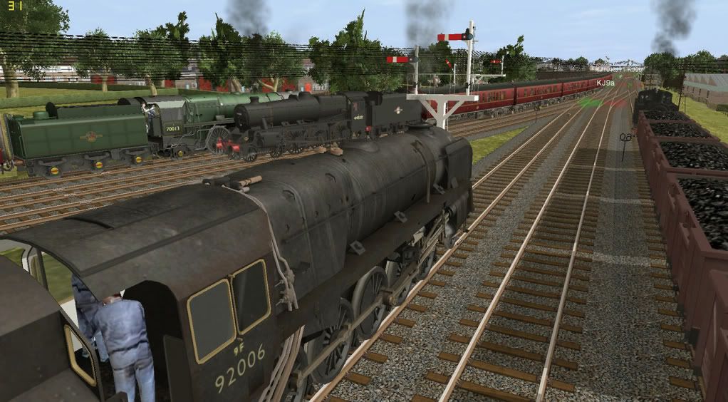
Can someone tell me how to hide the red and green arrows when taking screenies?
Thanks, John.
Press the ? button in the top bar.
john_goddard
Steam freak
Thanks for quick reply,
John.
John.
john_goddard
Steam freak
Sorry, but I can't get anywhere with this, what version of Trainz are you using? I am using Ts2009, John.
Love the route matthew80, especially with modern rolling stock, the route looks really cool and very realistic...
Great screenshot there John Goddard, I'll be voting for you in the screenshots competition, yours is the best busiest route at the moment...
Hey EMO, that Virgin train screenshot looked real, I had to look twice to see if it was Trainz or not...
Great shots everyone, keep up the great work, just hope your routes will end up on the DLS sometime...
Joe Airtime
IsambardKingdomBrunel
Joined June 2001
Top left, first radio button.......On Screen Help..............toggle on\off
IKB.
IKB.
john_goddard
Steam freak
Top left, first radio button.......On Screen Help..............toggle on\off
IKB.
Thanks IKB , John.
Edit: I don't know if the kind advice that has been given applies only to earlier versions but I still havn't cracked this in Ts2009, have looked at TC3 and the above advice does work there! John.
Last edited:
IsambardKingdomBrunel
Joined June 2001
John,
i am using 2009.
If your trying to take screenies in Surveyor mate, then i don't think you can hide the red\green arrows on the junction levers.
Advice given only applies to Driver.
IKB.
i am using 2009.
If your trying to take screenies in Surveyor mate, then i don't think you can hide the red\green arrows on the junction levers.
Advice given only applies to Driver.
IKB.
john_goddard
Steam freak
Yes, thanks IKB, I was just about to post that I had found this out, since last post. As with everything, easy when you know how!! John.
IsambardKingdomBrunel
Joined June 2001
Yes John, but learning is the rewarding aspect. 
IKB.
IKB.
john_goddard
Steam freak
Last edited:
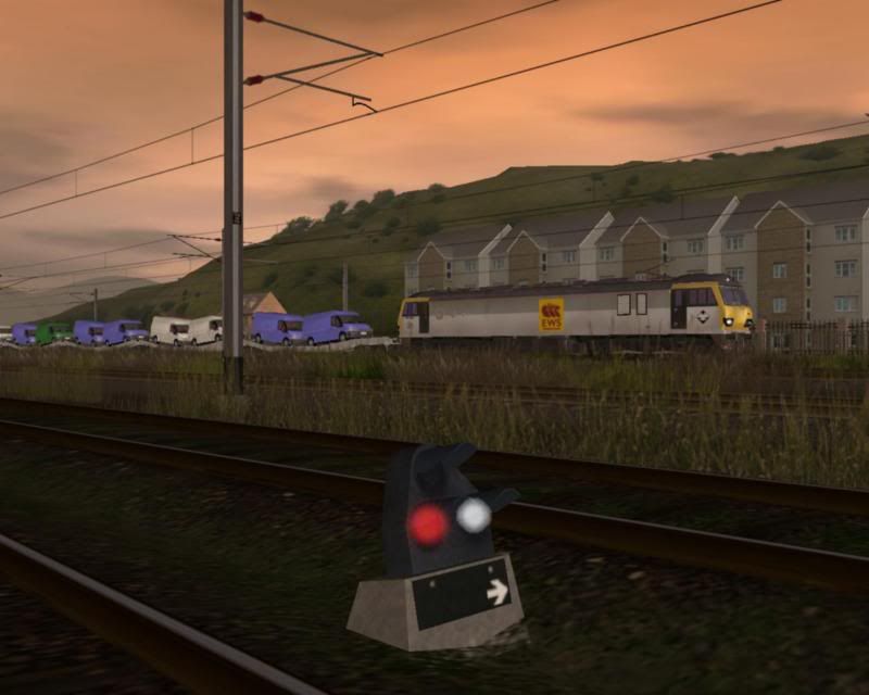
Hi john, sorry about giving out the wrong info about how to make the arrows disappear, them screenshots look very nice but after a closer study i thought the last shot would look very realistic if you replaced your junction levers with these.
kuid2:101839:20002:1 by LieLestoSbrat on the DLS.
Cheers Emo.
kuid2:101839:20002:1 by LieLestoSbrat on the DLS.
Cheers Emo.
john_goddard
Steam freak
Thanks Emo, I will have a look at them tomorrow. This route is still in early stages of building, I am trying to concentrate on laying track from Bath down to Evercreech at the moment. I am using Transdem created maps but when laying track you still have to "engineer " your way through, getting correct gradients and digging out cuttings and laying embankments!!! If only we had the more accurate data free from NASA like our American friends can get for free for their routes! John.
Withered Arm
Well done John for taking on the Withered Arm.... some 'interesting' gradients on there, plenty of double-heading if my memory serves me.
Good luck with this route. I assume it's in 2009?
Blessings,
Angela
Thanks Emo, I will have a look at them tomorrow. This route is still in early stages of building, I am trying to concentrate on laying track from Bath down to Evercreech at the moment. I am using Transdem created maps but when laying track you still have to "engineer " your way through, getting correct gradients and digging out cuttings and laying embankments!!! If only we had the more accurate data free from NASA like our American friends can get for free for their routes! John.
Well done John for taking on the Withered Arm.... some 'interesting' gradients on there, plenty of double-heading if my memory serves me.
Good luck with this route. I assume it's in 2009?
Blessings,
Angela
john_goddard
Steam freak
Well done John for taking on the Withered Arm.... some 'interesting' gradients on there, plenty of double-heading if my memory serves me.
Good luck with this route. I assume it's in 2009?
Blessings,
Angela
Yes Angela,
it is 2009 and onwards for me, I have no regrets about leaving the others behind, though I did like TC3 for the short time I used it.
The SDJR will be quite a challenging route to drive, lots of 1 in 50 gradients so as you say double heading was common, though the 9F 2-10-0's could cope.
Nice to see you still active on the forums Angela,
all the best, John.
Similar threads
- Replies
- 1
- Views
- 1K
- Replies
- 0
- Views
- 2K
- Replies
- 1
- Views
- 2K


