UK Screenshots (Hi Res Version)

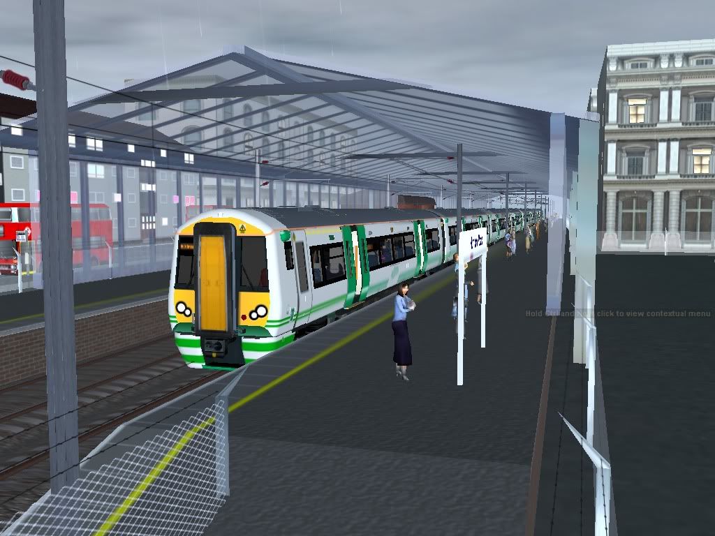
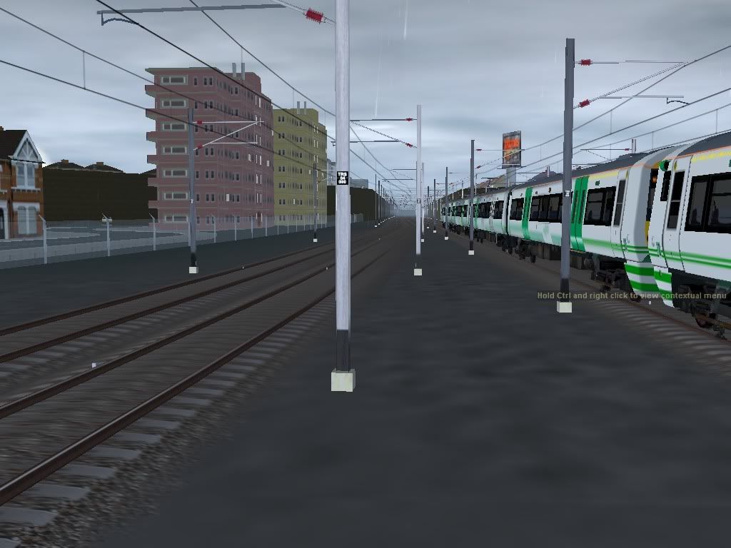
Just this night time shot quickly....


trainz2010-05-2021-13-16-46.jpg
 
Great shots everyone. Marky 7890- your Cornwall route is looking fantastic! I haven't posted on here for a while but here's a view of my related 2010 WIP that might be recognisable (to Marky 7890, anyway ;) )....

66landscape1.jpg


Cheers

R3
 
:udrool: Thats excellent Rumour3, I will soon be doing that curve. I'm at Dobwalls at the moment, the new Dobwalls bypass will also be included.

Mark
 
wow rumour that is better than all my routes added into one :eek: i beture get back into training see you later ;)(wish i could make hills like that :()
 
Last edited:
Rumour-what more can I say? Your fabulous class 66 on a fabulous route. How do you get hills like that?

Anyway, here are some more screenshots of my London Malvern Street route. I don't hink I've mentioned it, but it is fictional and so is Meridian Trains.

Hurlock Road Station:
trainz2010-05-2119-37-44-68.jpg

trainz2010-05-2119-39-06-35.jpg

trainz2010-05-2119-39-28-01.jpg

trainz2010-05-2119-39-57-65.jpg

trainz2010-05-2119-40-17-10.jpg


Cheers,
Bernard
 
It stands for Digital Elevation model, DEM data can be found freely on the net and imported into Trainz using special software, this can then be used for a Trainz layout. Its give a fairly accurate shape of what the terrain is in real life, so it saves making the hills, especially in a hilly place like Cornwall. However embankments and cuttings still have to be made.

Mark
 
where do you sugest i find one that i can use in trainz (and btw what special software :))
 
Last edited:
Great shots everyone!

Dobwalls02.jpg

A HST passes the village Dobwalls, the edge of the village can be seen just to the left of the tree on the right.

Mark
 
do you know any freeware programs to import dems into trainz

Microdem and HOG should do the trick.

And heres a tutorial on how to use them :)

Here is the ftp url for the Eurasia DEM files:
http://dds.cr.usgs.gov/srtm/version2_1/SRTM3/Eurasia/

Here is a UK map I made a couple of years ago showing what file is needed for what part of the UK:
http://trainz.neonw.com/dem.jpg

I use a payware program called Transdem to import the DEM into Trainz.

Mark

Ah brilliant, been stuck with US only DEM until now, thanks. :)
 
Last edited:
Hi

A small collection from moi:

First from an old fictional route, one of my first attempts at a large scale route-it failed though to be any good in my opinion. I now just use it for testing trains.
trainz2010-03-3019-00-51-14.jpg

trainz2010-03-3019-02-01-06.jpg


And a few from my London Malvern Street route.
trainz2010-05-2119-46-47-20.jpg

Leaving Hackney South
trainz2010-05-2119-39-41-35.jpg

On-board as we head through southern Hackney.
trainz2010-05-2119-50-17-51.jpg

Arriving at Hurlock Road
trainz2010-05-2119-38-28-07.jpg

The 253 bus waits for people from the recently arrived train to board, before is goes to Aldgate.

Cheers,
Bernard
 
Back
Top