Lord-Claud-Hamilton
Happy with the one Star >
Oh, you United Kingdomer's are so efficient with your resources. Good point, I must admit that's very good planning. Timetables planned months ahead? Gee, I wish that would work here. The news said just a couple of weeks ago that on average, two Queensland commuter trains are cancelled each day. Pretty bad, huh?
I have to say that, in most cases, this is more to do with necessity rather than efficiency or good planning.
Thanks to extreme short-sightedness (blindness some might say) in the past, the capacity of the Main Line routes (and many others) is at a maximum and finding the required/requested track access is almost an art.
Passenger services are given priority and, along with the timetable issues Nexusdj mentioned, results in a lack of flexibility that prevents much freight being hauled by train.
I would be very surprised if we have less than two passenger trains cancelled a day, especially at the moment, and a timetable planned months ahead means nothing if the TOC's decide not to keep to them!
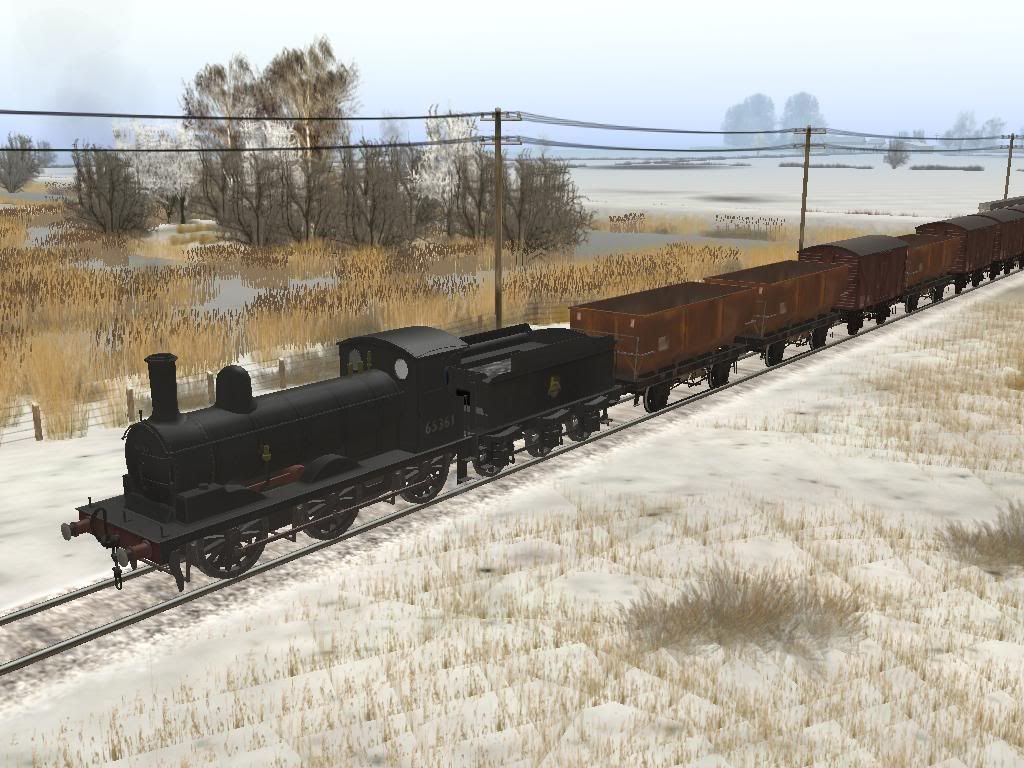
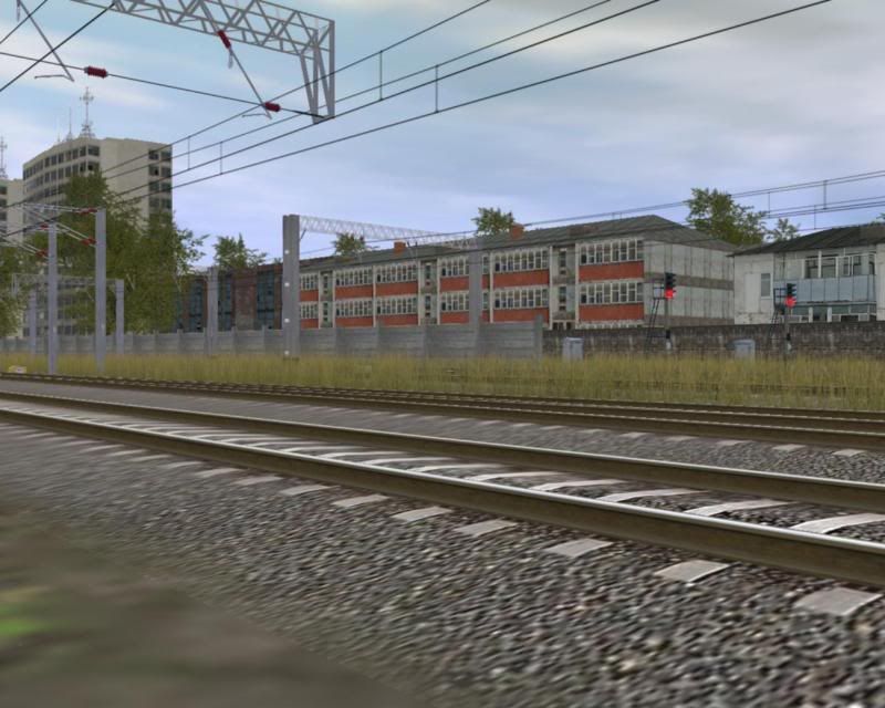
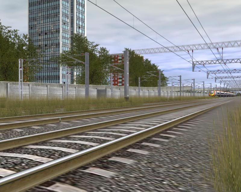
I guess i'd better post some screenshots sfter that.....
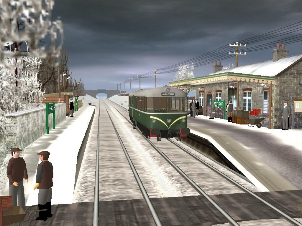
Does anybody recognise the snow covered station building in the above image?


")


