TIGER lines on the latest MicroDEM?

I've also noticed how small the terrain is from that height. It looks so much bigger when it looms over you while you're walking through it.;)

Claude
 
What you could expect is something like this:


Map and DEM fit.

The map is USGS 1:24k topo, the DEM 1/3 arc sec NED. I am not quite sure where your interurban line is located. My image shows Mission Gorge Road. DEM cuttings and high-fills match the course of the road as it should be. No manual editing at all.
 
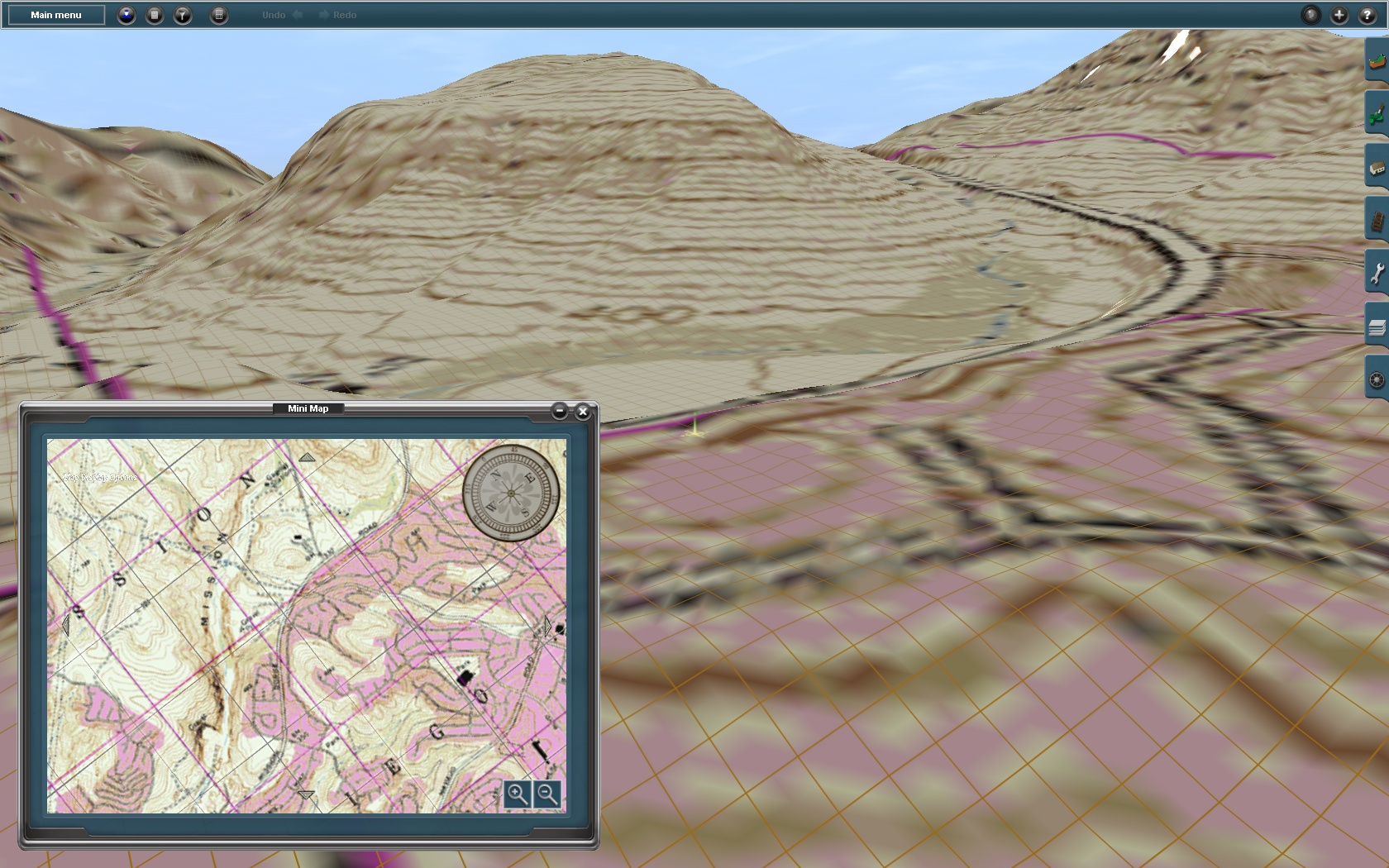
I'm adding trolleys to the wilderness park, so all the track lines had to be added to the tiger before HOG. In this DEM the actual interurban is way down in the southeast corner, between Grossmont Center and Amaya, but I edited that out in PhotoFiltre, since I'm not doing the real line.
And since the hiking trails aren't on the tigers, I just guessed about where they were. I'll use the shape of the terrain to locate the actual hiking trails where I'm adding track.
Fortuna Staircase might be a problem. It looks pretty steep when you look from across the Suycott Valley. I might put in some funicular.
Maybe a trolley bus loop from the visitor's center along Junipero Serra Trail, then over the pass on Mission Gorge back to the visitor's center.

Claude
 
Last edited:
Terrain step effect

Using Microdem and Hog programs I create the desired location on the map. I noticed a strange steps in height, but is not nothing like the real world. I am creating a lot of Dem maps Trainz, but I see it for the first time. Pic...
1
i99_Martynas_20120901_0000.jpg

2
i99_Martynas_20120901_0001.jpg


Area "step height is about 10 meters, How can I fix this problem?
Am sorry for my english...
 
What your seeing are the tyical plateaus that are the result of the bucketing of elevations into the 256 (max possible-IIRC you actually get a few less) or so elevation availables in the color bands of Chroma depth colors (or any other simiar color sets) typically used for the elevation raster map feed into HOG. Basically (for the kiss group that maybe listening in here) say we have 250 colors available and the elevation range is 0-2500m. Each of the 250 colors avaiailable color will represent a 10m bucket full of elevations. Any elevation in the data that falls in the range of say 0-9m is put in the bucket labeled 5m which is assigned to the 1st color. Any in the range of 10 -19m is put into the bucket labeled 15m which is assigned to the 2nd color and so on up to the last bucket labeled 2495m that holds any elevation above 2489m that is assigned to the last color. So now I think it's kind of obvious why you see level plateaus all separated by a fixed height difference (in the example cited it's 10m). What actualy happens depends only on the height range in the DEM.

Smoothing the data either in MD, HOG or whatever might give a softer apperence. But I don't generally use this unless the elevations in the dem are pretty "bucketed" to start with. It tends to soomth out a lot of features in a dem that otherwise has sufficient height resolution in it.

Personally long ago I gave up on the chroma, grey or other similar color scales because of the very limited resolution available. I use the PIGLET built into HOG and make an ASCII DEM with elevations in meters with fraction parts (floating point numbers or floats) for all my dem work. If it wasn't available I'd most likely be using Transdem. There are other required characteristics you must set up in the ASCII DEM. But i won't go into details here. I'd just say it is possible to get acceptable results using MD and HOG if you take the extra time to use PIGLET.

I think Roland (geophil) suggested this several posts back (#13). I think looking at your screen shot you can see why he suggested it.

Bob Pearson
 
Last edited:
Thanks for the advice. I got better results in lower area of ​​the site. Unfortunately I can not use ASCII DEM. HOG says the file is too big. If divide your location into several parts and then receive your connection errors Trainz.
Now step height of about 2 meters. In mountainous areas of no longer visible. I think it's quite suitable for me.
I created a number of maps of the mountain heights where difference was much more than 256 meters, but have never seen such errors. I think the difference between 10 and 30 sec DEM files to also have an impact ...
Am sorry for my english... Semi-happy:)
 
Back
Top