Screenshot of the Week: Ends 3-12 - Double Week

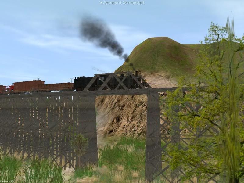
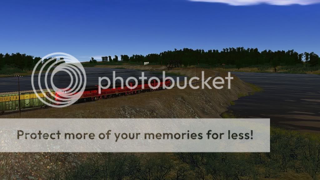
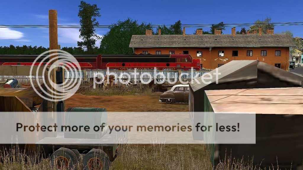
The Shots are made on the wonderful little Map Brightwater, made by Spikerod:). I've added it with optional Content for my private Fun.

3036303733613730.jpg

3161636262613465.jpg


Cheers Epo :-))
 
Last edited:
#1

The Missouri Mule makes its 1st stop after leaving Union Station in Kansas City, Mo. Facing East in the early morning sun the conductor calls "all aboard!"


Amtrak_204.jpg
 
#2

Standing at the corner of Scott & E 17th St in Independence, Mo. MoPac 626 heads east towards Lees Summit, Mo.

MoPac.jpg
 
The Missouri Mule makes its 1st stop after leaving Union Station in Kansas City, Mo. Facing East in the early morning sun the conductor calls "all aboard!"


Amtrak_204.jpg

You're kidding me, I live like minutes from there!!! Someone's got a layout of literally where i live! Where'd you get Union Station? (If its even on the layout)
 
You're kidding me, I live like minutes from there!!! Someone's got a layout of literally where i live! Where'd you get Union Station? (If its even on the layout)

I don't have Union Station. Sure wish I did. I posted some pics to see if anyone was interested in making it a few years ago. There was one guy who said he was interested but I lost touch with him.

I've been working on a KC area layout for about a year now. I created a large map using DEM and Tiger data to make it as accurate as possible. I've completed parts of Independence including Noland Rd & Chrysler Stadium, downtown Lees Summit, Grandview, and I've been working on the Leeds area the last week.

I thought about starting a thread with some screen shots.
 
Back
Top