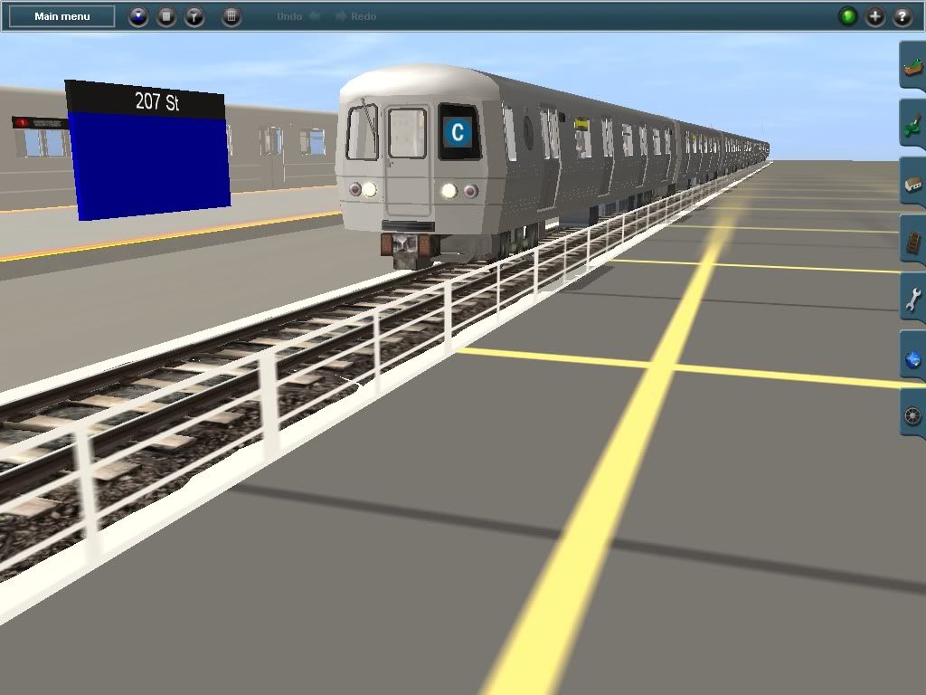
Look at the bottom of the video image. There you see the commands that the driver has been given. Various camera views are used in the video, some view 2 some view 1.
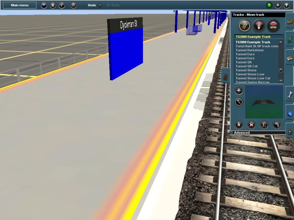
I know you want a fully functioning subway but there are many things to learn before it becomes easy. You don't even have to learn to make your own content. Just placing existing objects in a convincing way in a map so that it looks good and performs well is a major step. Unless you are modeling a very flat area, you will need some elevation changes. Applying ground textures is really more of an art than a science but when well done makes a huge difference in the believability factor. Take it slow, learn each step and you will have much more satisfaction in the end. You should be in for the long haul.
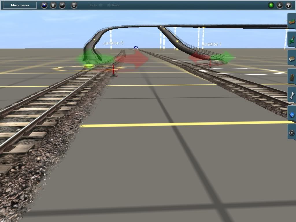
Your first elevated track looks promising, for a roller-coaster. I doubt that any elevated ever had such steep and abrupt grades. Have pity on the poor passengers. Amusement rides may have sudden horizontal and vertical direction changes but public transportation needs to be much more gentle.
If you have one near to where you life, go out and study how the tracks are placed, how they change direction, how sharp the curves are. You don't have to make an exact duplicate but follow the general principles to give your map that authentic look.
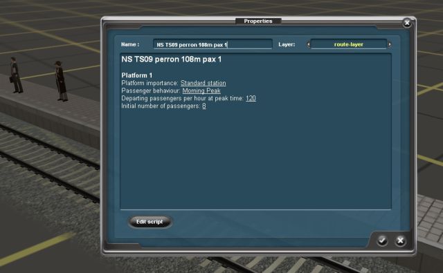
To get a train to move like in the video, place some cars to make up a train on the track. Give the driver commands to visit each station in sequence, stopping to unload and load passengers as required. You might place a few track markers to help guide the driver, especially if he tends to take an unwanted path which happens to be the shorter distance to the next station. Unless your track is a loop, you will have to turn around and come back on the opposite track. If you want the driver to do it all again, add the repeat command at the end of the command sequence.
If you didn't understand all of the above, see the second paragraph.