nikkigirl1
Building "The Cutoff"
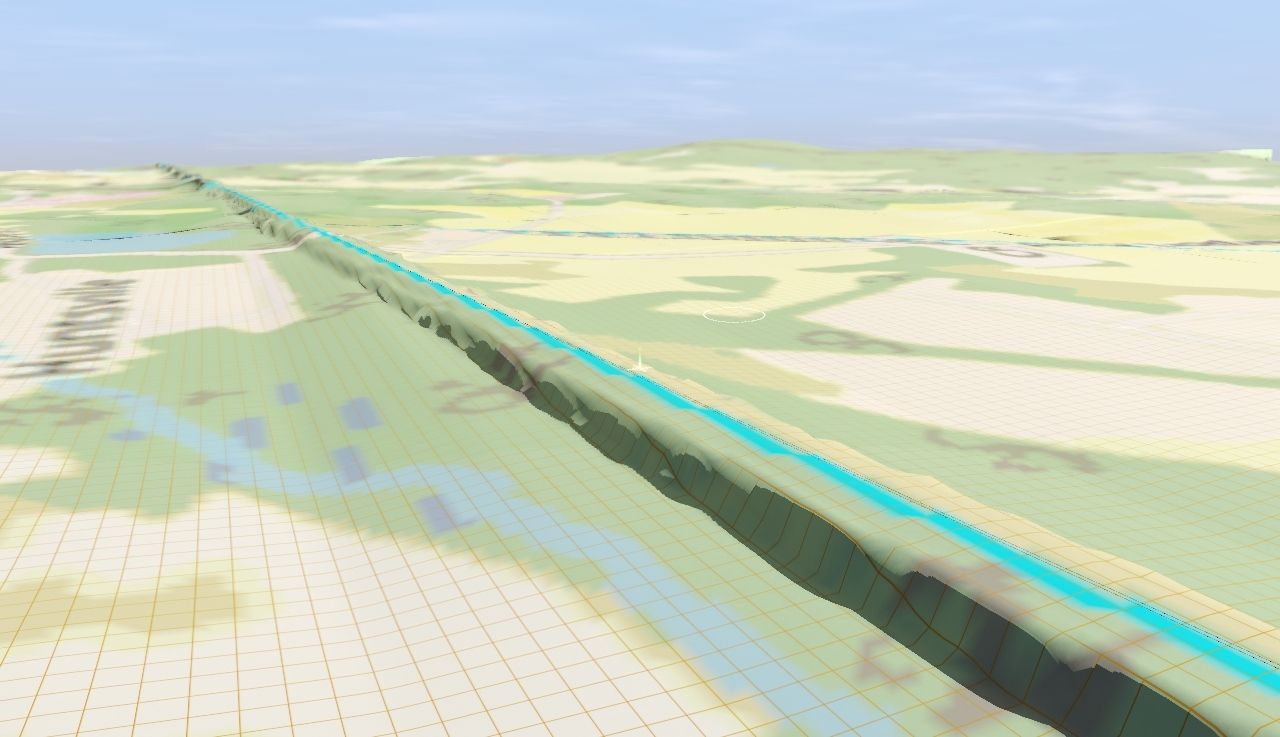
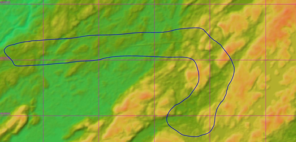
So I am in the process of building a sort of "mega route" that includes the roads of many long-gone companies, namely the EL, Lehigh and New England, L&HR, NYS&W, and later NJT, Conrail. The main feature of this route will be the DL&W/EL/Conrail's Lackawanna Cutoff, and this is where the problems are arising with TransDEM. The Cutoff in itself is a big landmark, with multiple large cuts and fills that are very much still prominent today, and no matter how much I play with TransDEM, I cannot find how to get these terrain details to show upon importing of the route. I have one save where I have went through and hand-leveled the entire cutoff to prototypical height and gradients, along with making the fills and cuts, but the problem with this is that these are at times highly contrasting with the terrain that TD provided, namely with the Pequest Fill, which is at times more of a cut than a fill when using TD data.

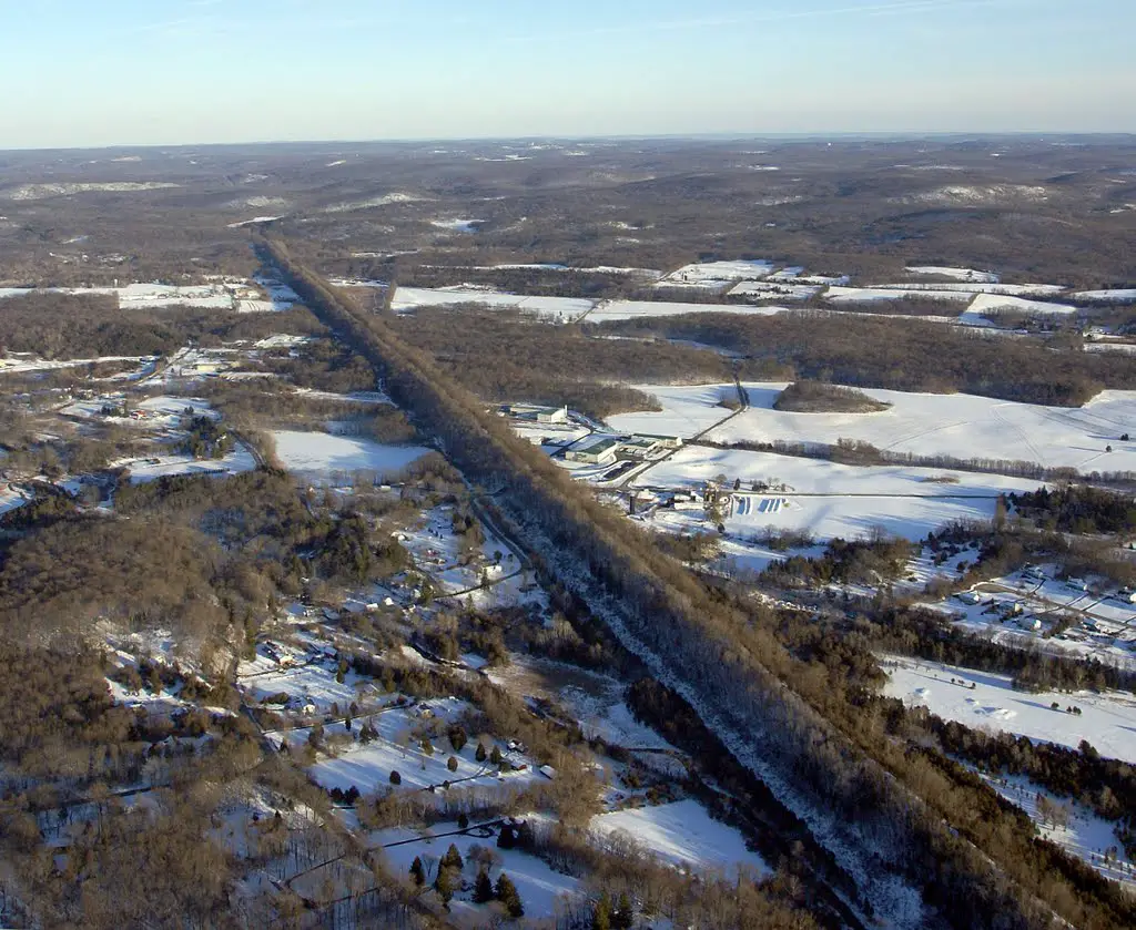
This is Pequest Fill, early 1900s and now, and as you can see it stands out prominently to the naked eye, but not to TransDEM. I have used two different DEM sources, USGS and Japanese satellite DEM imagery, with the latter being a hair more accurate after playing around with DEM grid width, but it still barely stands out in a DEM, although you can eyeball the Cutoff perfectly-- from satellite height--while in TransDEM pre-export.
My question for all of you that at least know something about TransDEM, what settings can I use to get stark terrain differences to stand out by using TransDEM, or is hand-sculpting the only option here?
")