Shortline2
Joined: 28th Oct. 2002
Hi Rick,
Aha, so that was the reason why you posted this tread in the first place, a way to lure me back in here...")
How could I not see that. LOL
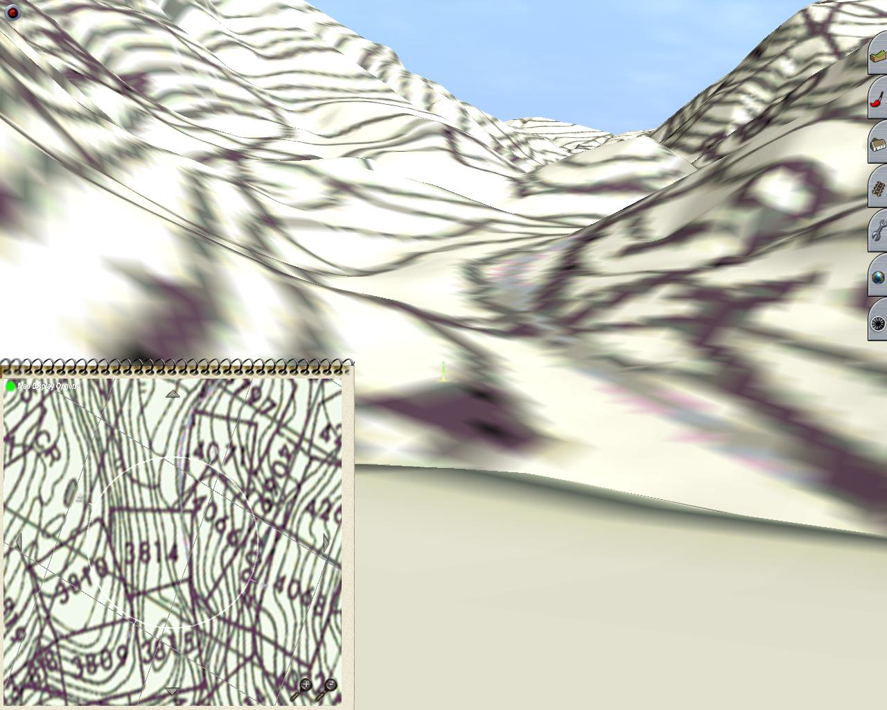
I'm one step away from looking at this in Trainz now, to see how bad or good it is looking there.
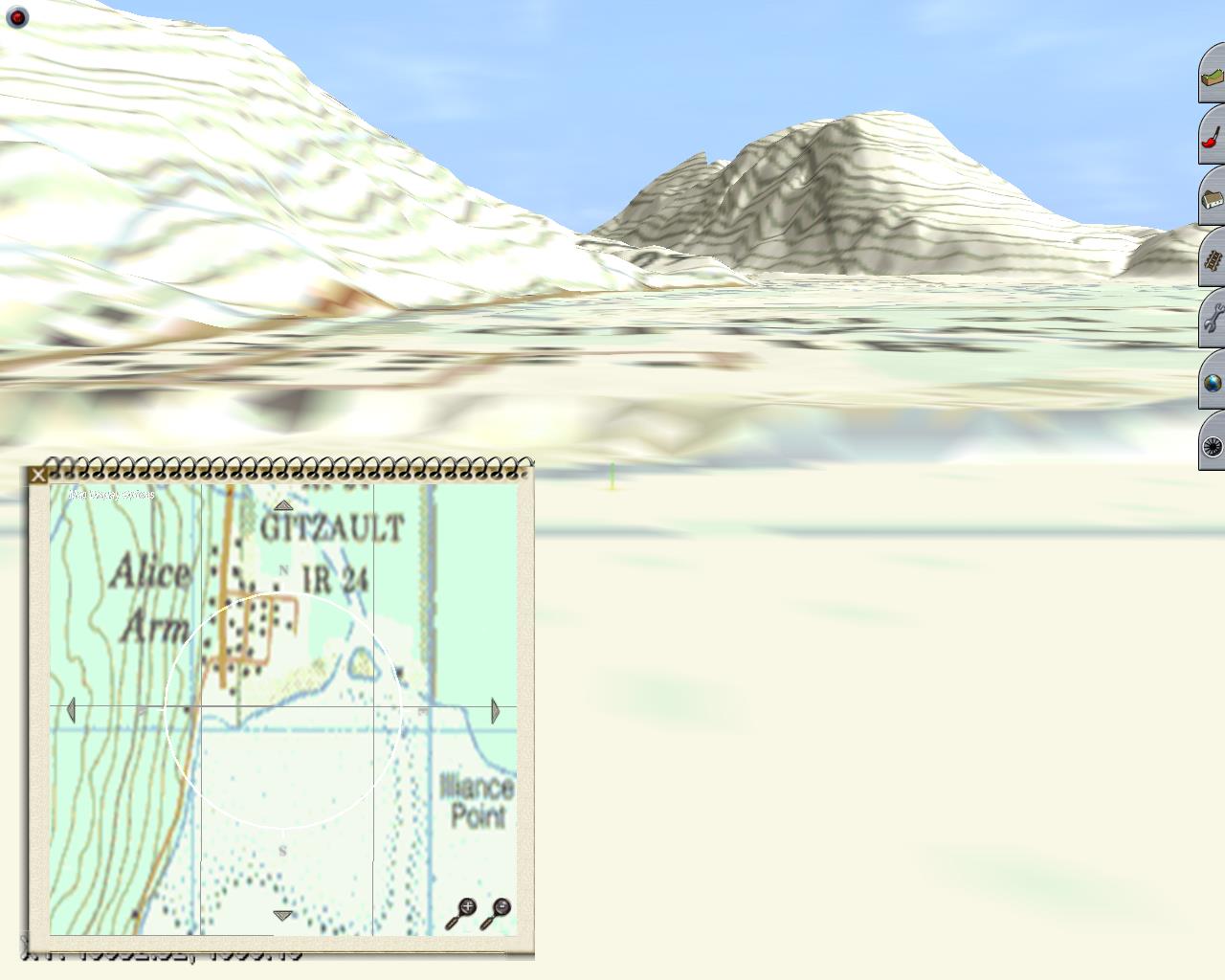
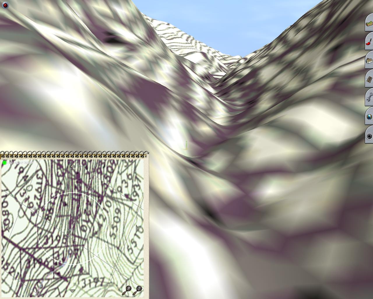
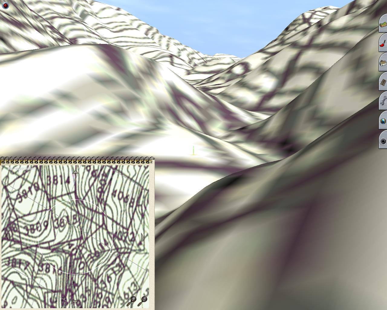
I been trying to color in the river on the B&W maps, and I colored the dotted line that I think is the old roadbed - to help better find it again in all the blackness.
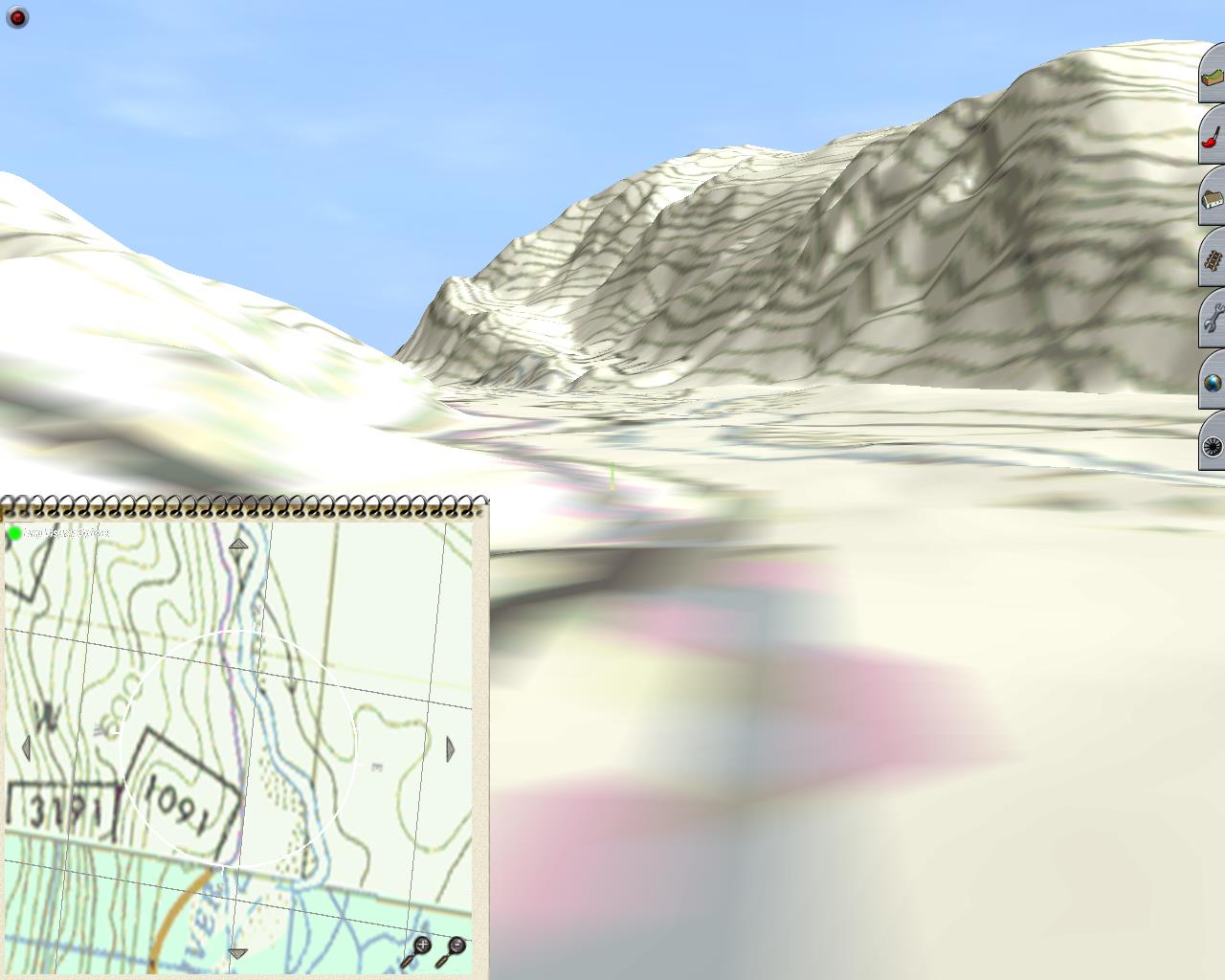
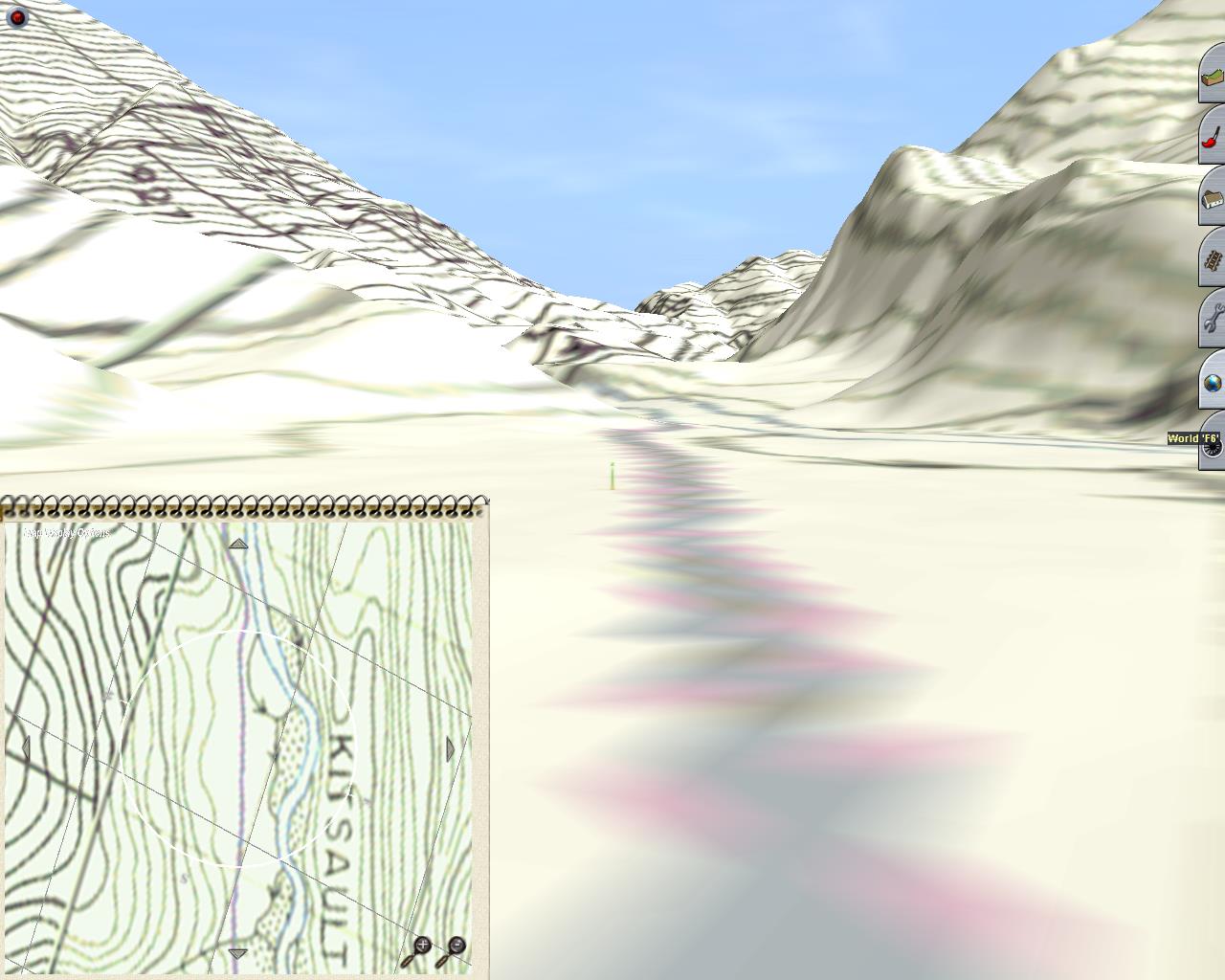
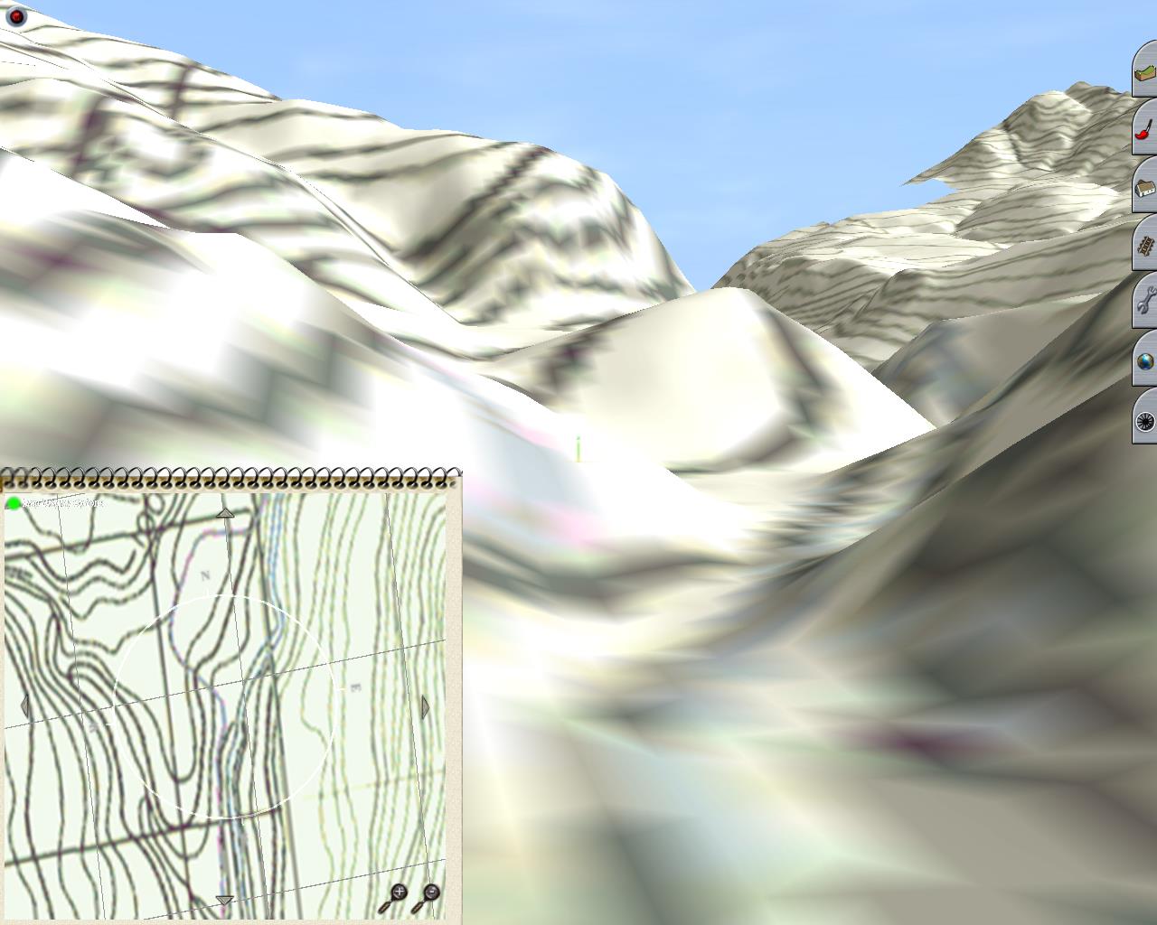
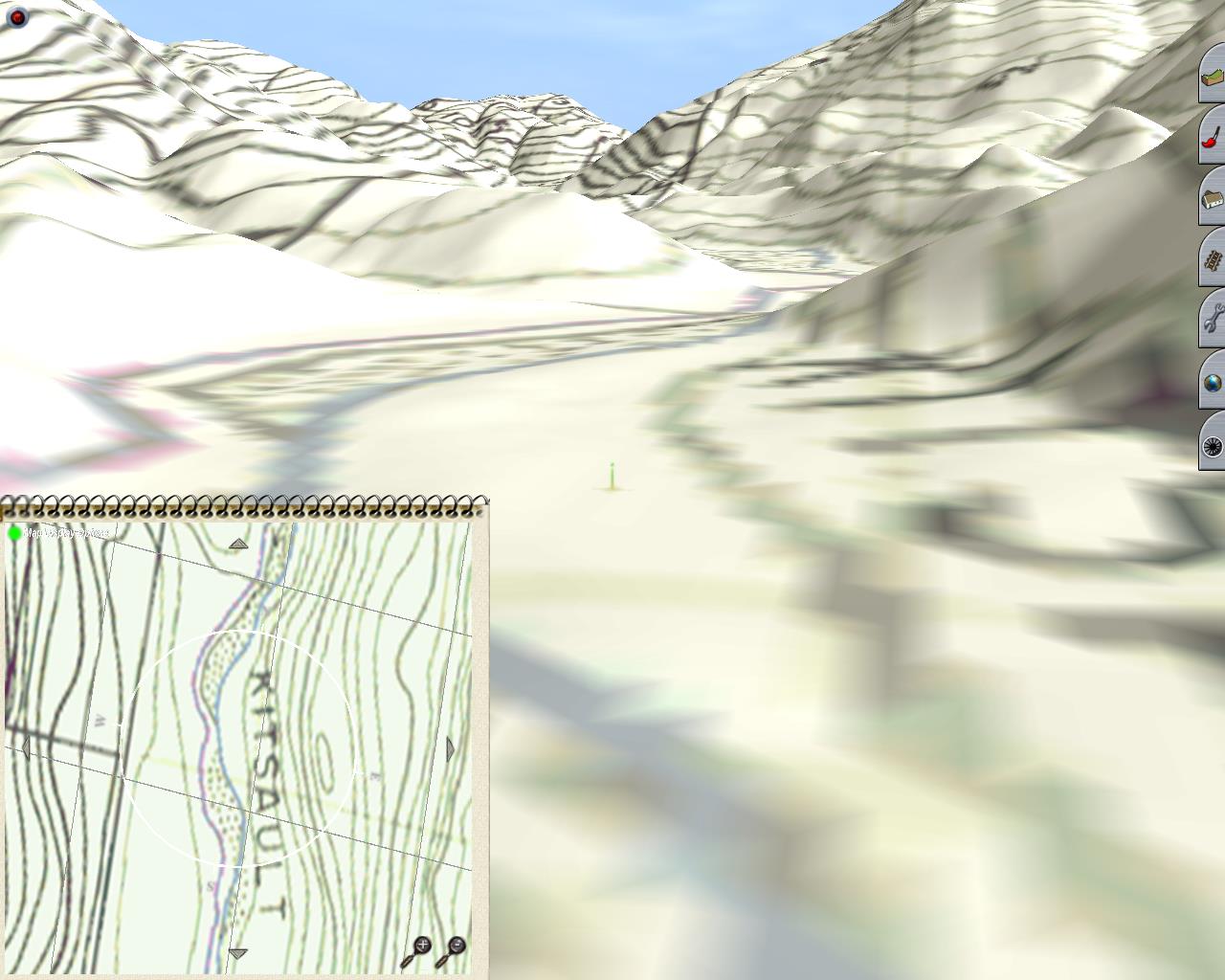
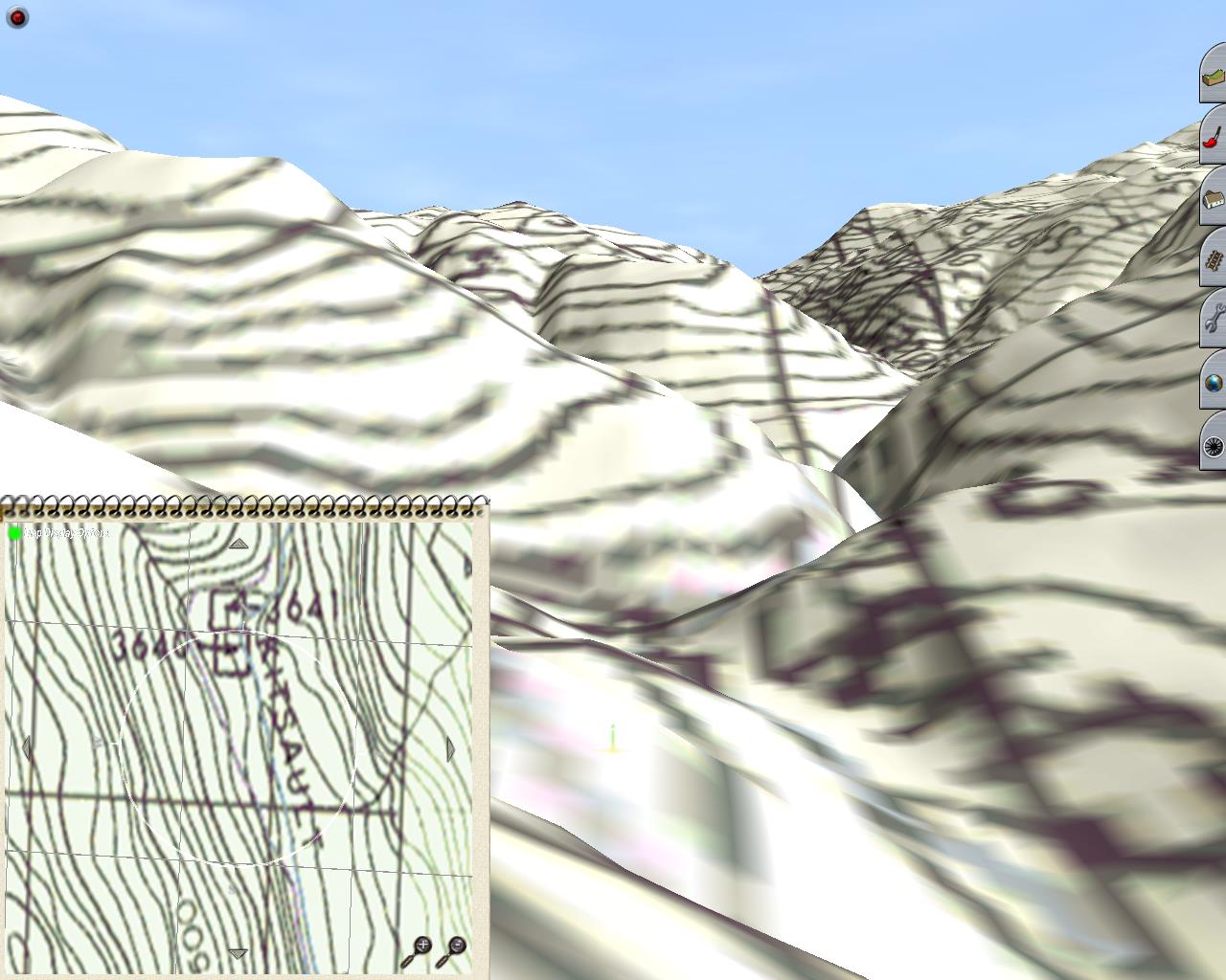
Other then that, it is a massive large area so far, but will get cropped down I guess for Trainz use when I enter the Trainz face of this exercise.
It been fun, and as soon as my mind got the kick it needed from Phil above here, it made the whole file even better manageable.
Now, to keep me here, now that I know the plan, I guess it will be harder to achieve. LOL
Best wishes
Linda
Aha, so that was the reason why you posted this tread in the first place, a way to lure me back in here...
How could I not see that. LOL
I'm one step away from looking at this in Trainz now, to see how bad or good it is looking there.
I been trying to color in the river on the B&W maps, and I colored the dotted line that I think is the old roadbed - to help better find it again in all the blackness.
Other then that, it is a massive large area so far, but will get cropped down I guess for Trainz use when I enter the Trainz face of this exercise.
It been fun, and as soon as my mind got the kick it needed from Phil above here, it made the whole file even better manageable.
Now, to keep me here, now that I know the plan, I guess it will be harder to achieve. LOL
Best wishes
Linda
")