So I've started a new route, been "teasing" it over in the Route pics thread, but figured I'd start it's own thread now. Some of these screenshots are repeats.
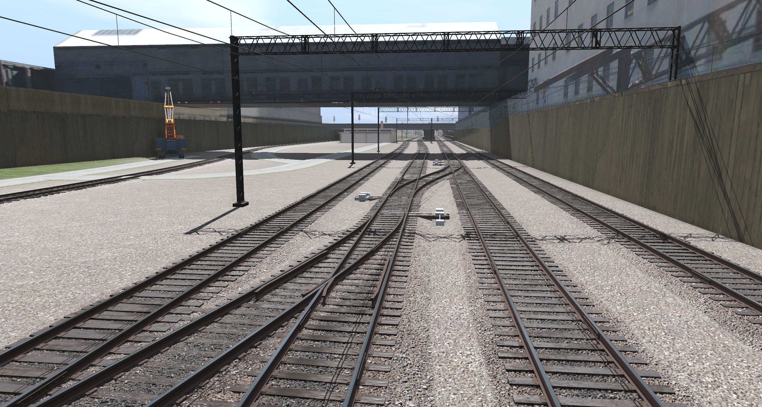
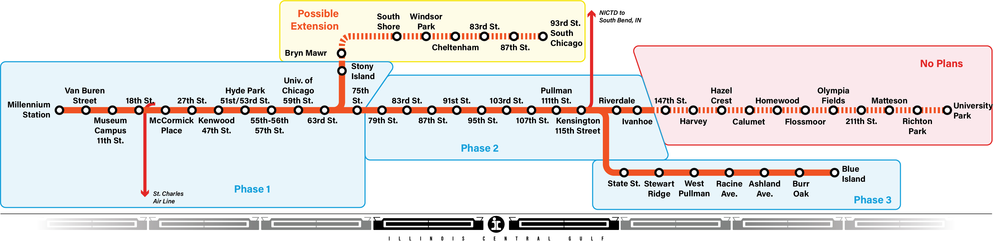
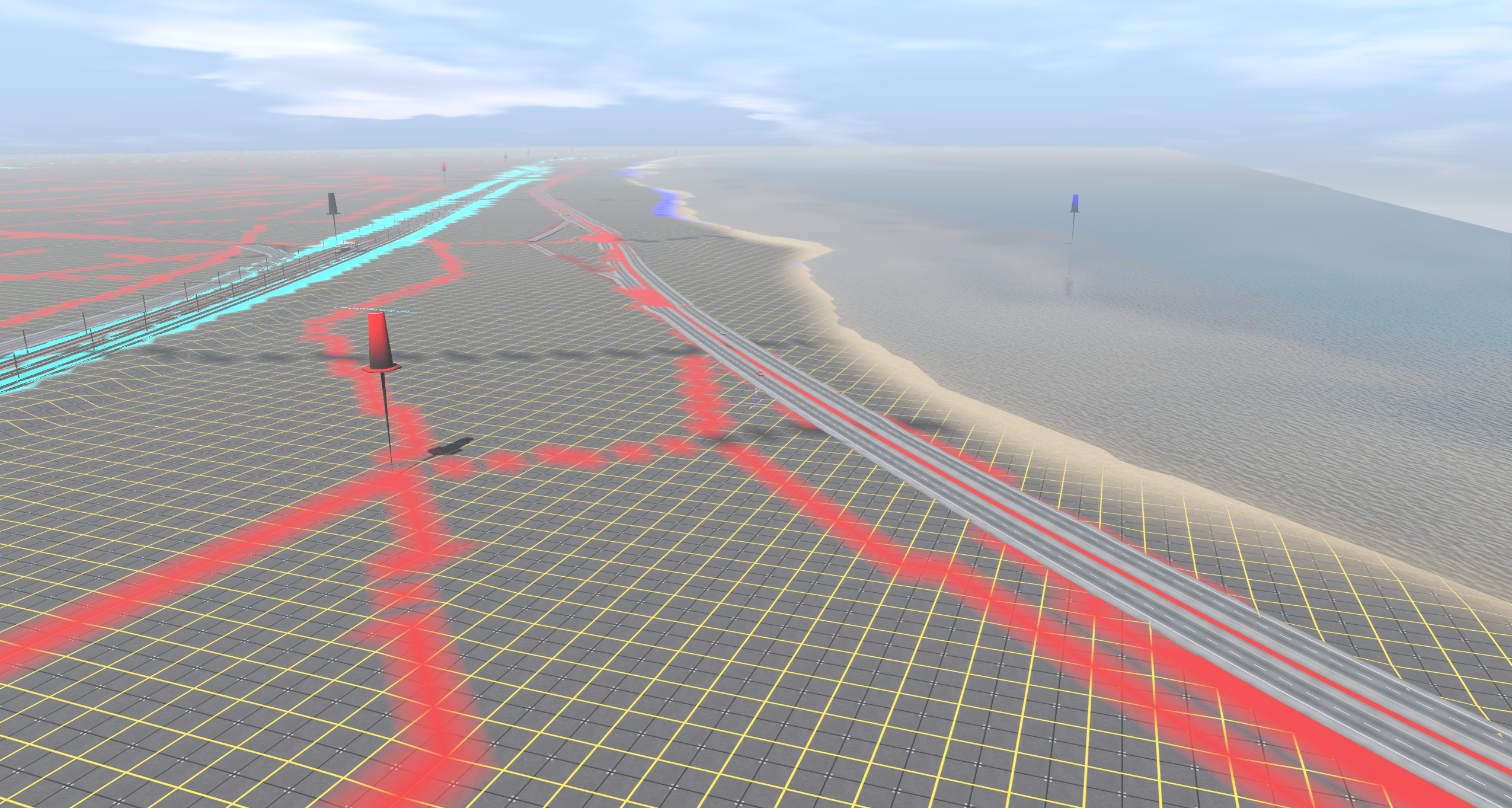
I'm creating the Illinois Central/Metra Electric subdivision. The era is loosely based on the early 80s, with some caveats into the 90s. This should allow for a wider variety of operations to be run on the line, from the earlier IC days up into Metra's ownership. The line starts in downtown Chicago at Randolph Street, and continues south past Buckingham Fountain, under McCormick Place, through Kenwood & Hyde Park. I'll probably end it around 75th Street for now, with the hopeful future update down further south to Ivanhoe & the Blue Island branch. The DEM map I'm using doesn't include most of the South Chicago branch... I'd like to include it however, so it may get added at some point too.
Amtrak runs the Illini, Saluki, and the City of New Orleans on the parallel freight tracks.
I'm creating the Illinois Central/Metra Electric subdivision. The era is loosely based on the early 80s, with some caveats into the 90s. This should allow for a wider variety of operations to be run on the line, from the earlier IC days up into Metra's ownership. The line starts in downtown Chicago at Randolph Street, and continues south past Buckingham Fountain, under McCormick Place, through Kenwood & Hyde Park. I'll probably end it around 75th Street for now, with the hopeful future update down further south to Ivanhoe & the Blue Island branch. The DEM map I'm using doesn't include most of the South Chicago branch... I'd like to include it however, so it may get added at some point too.
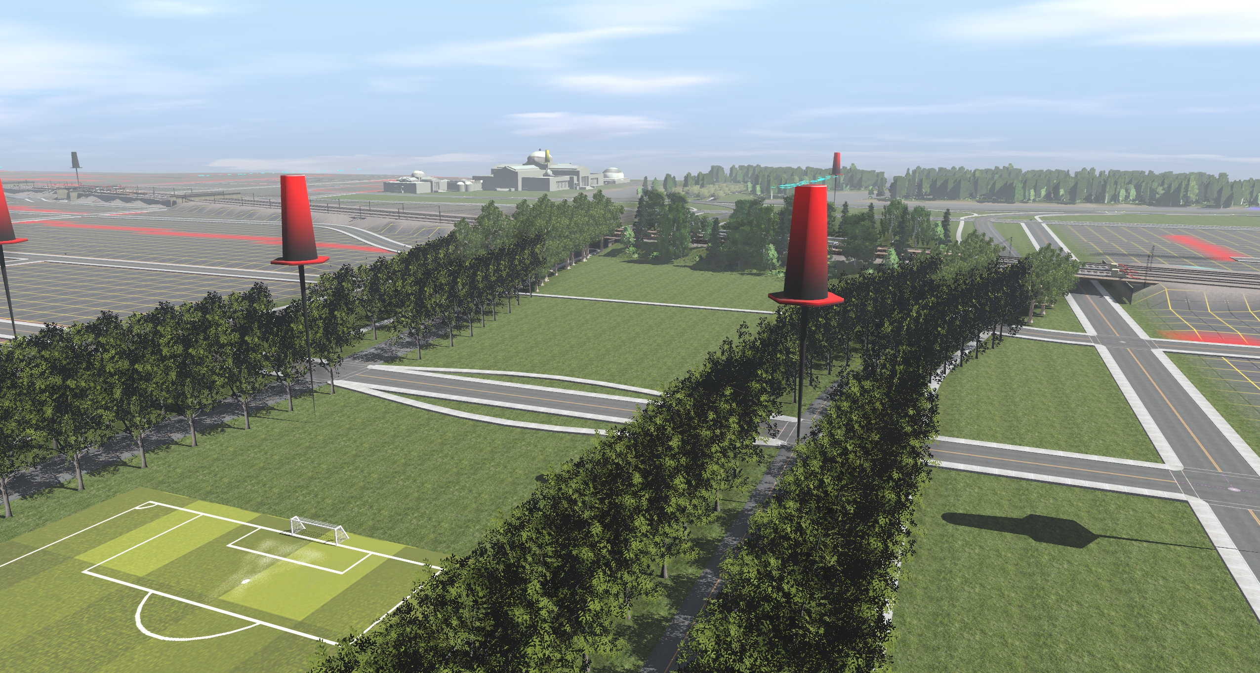
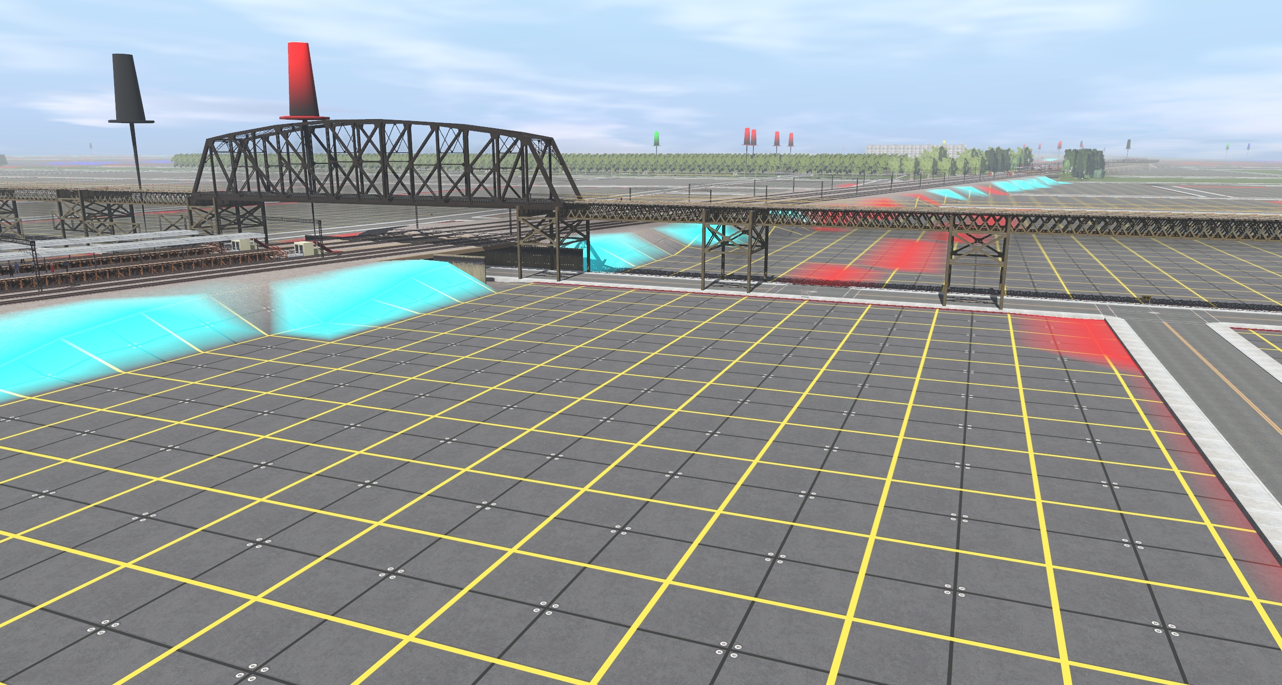
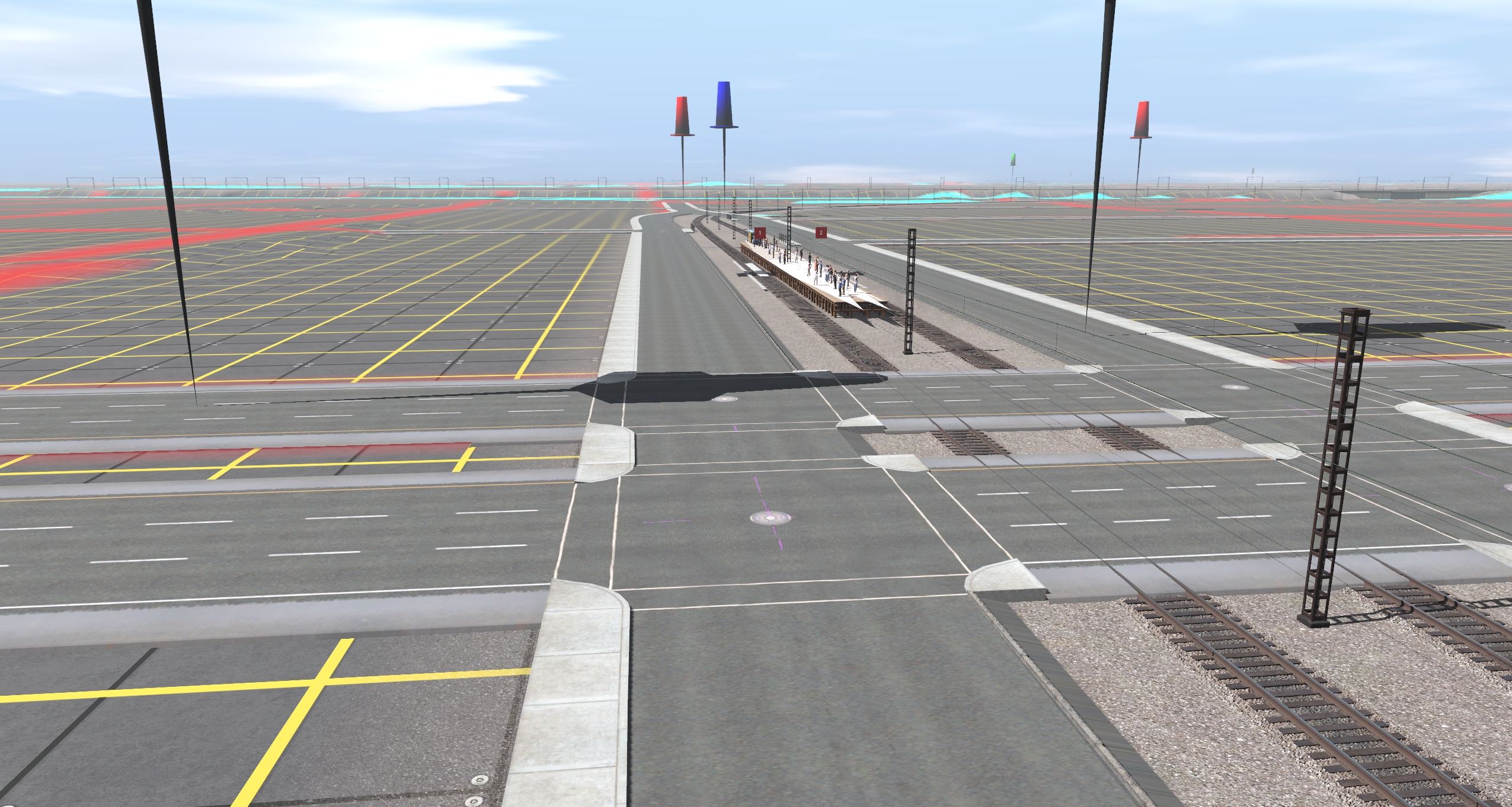
Screenshots (heading North)
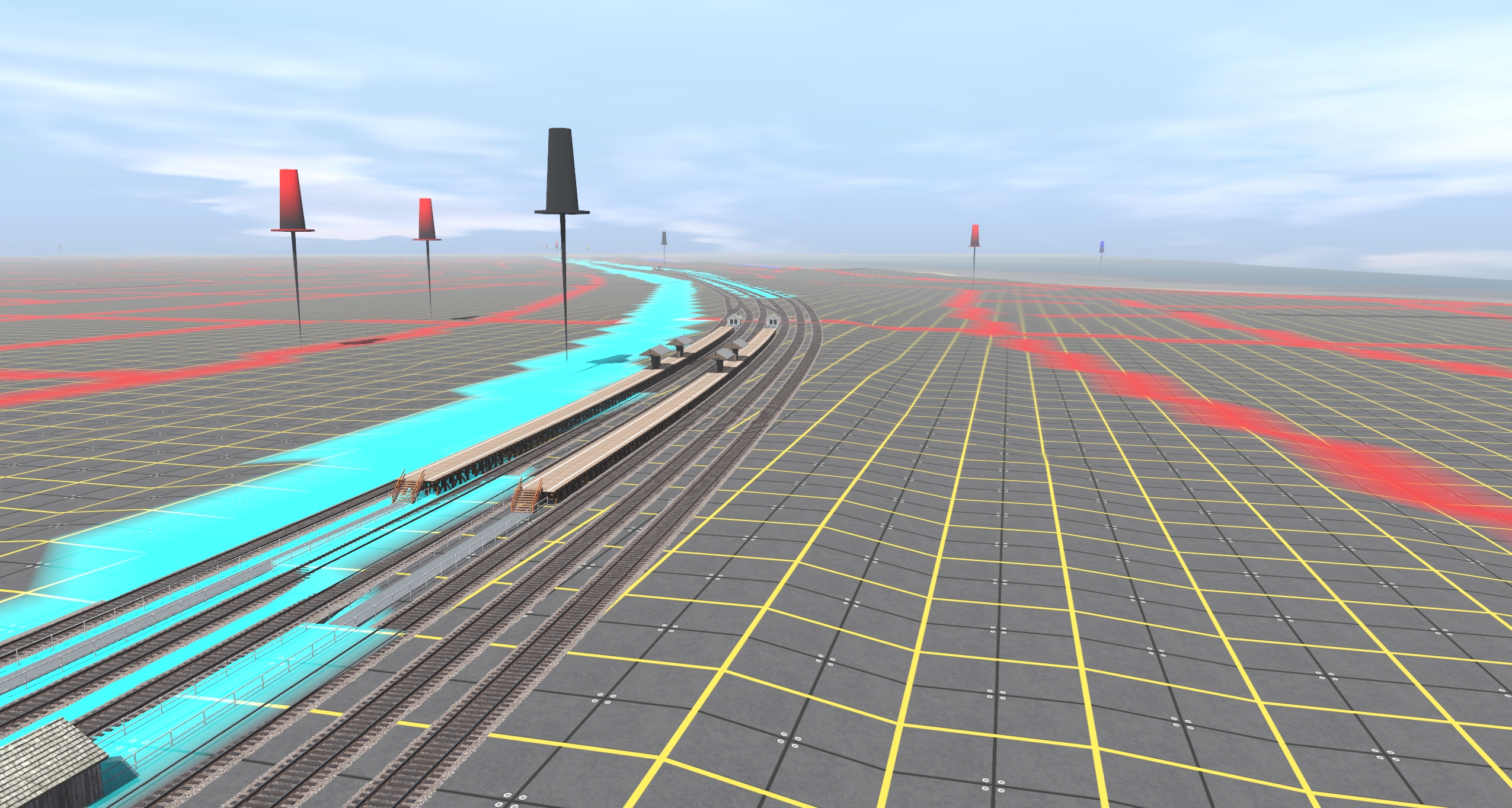
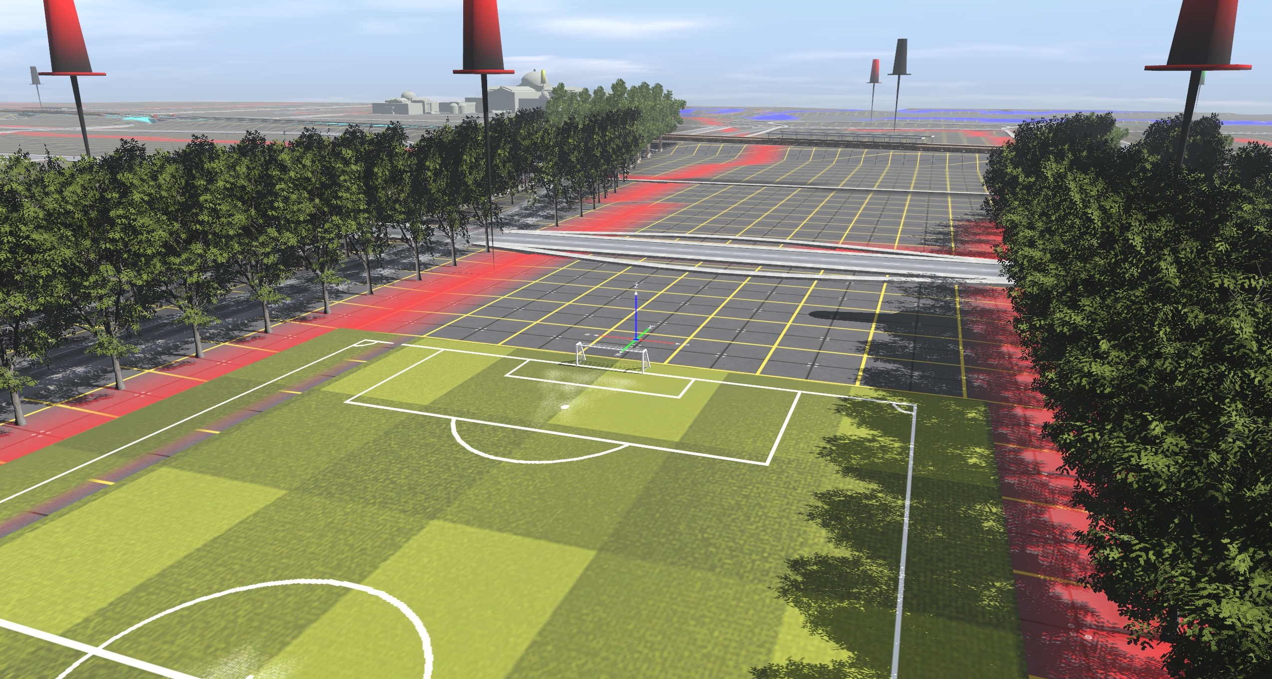
My priority at the moment is getting the tack laid & some basic, identifiable scenery.Museum of Science & Industry (I don't have the building yet...)
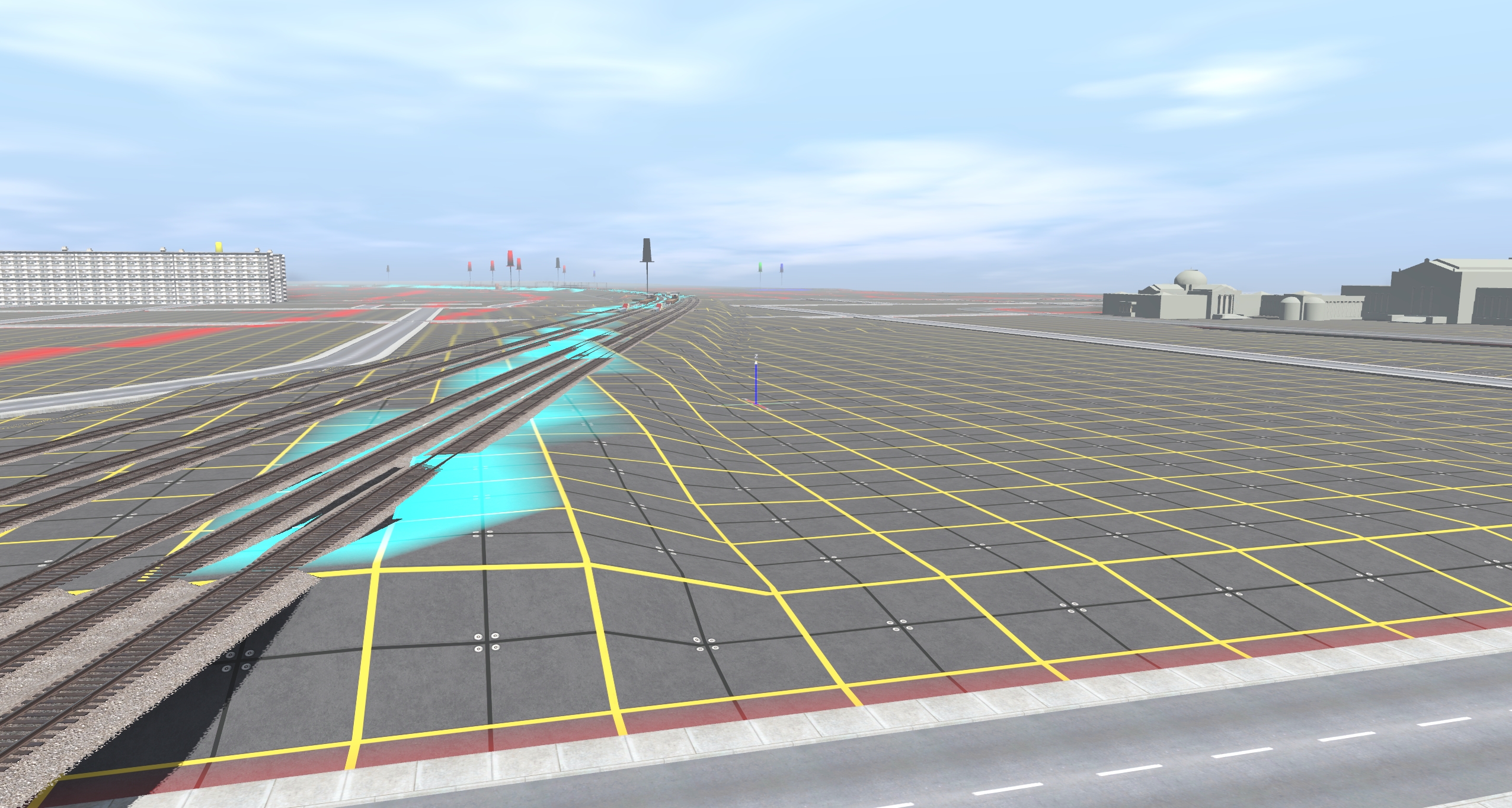
53rd Street (Hyde Park) station
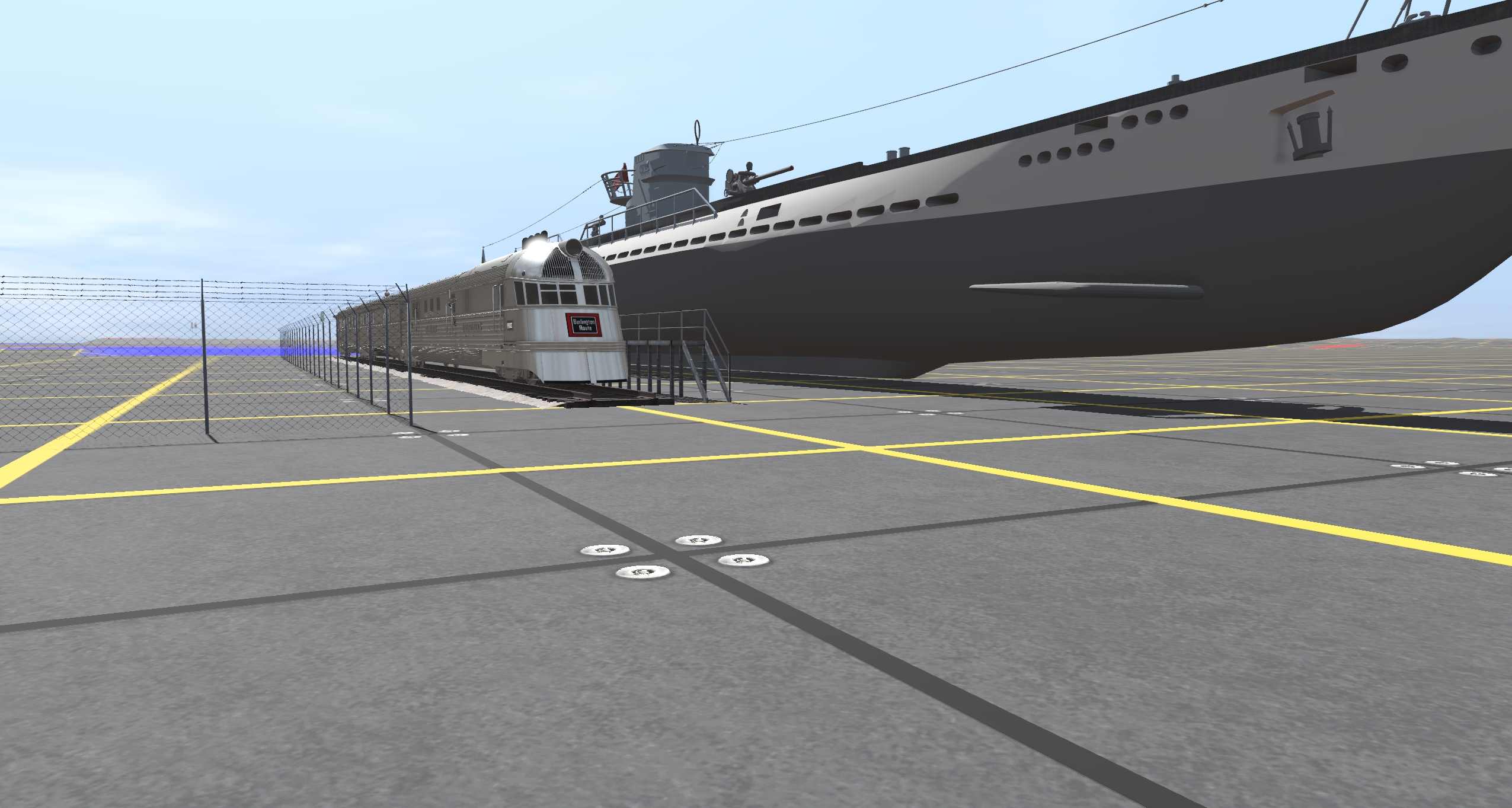
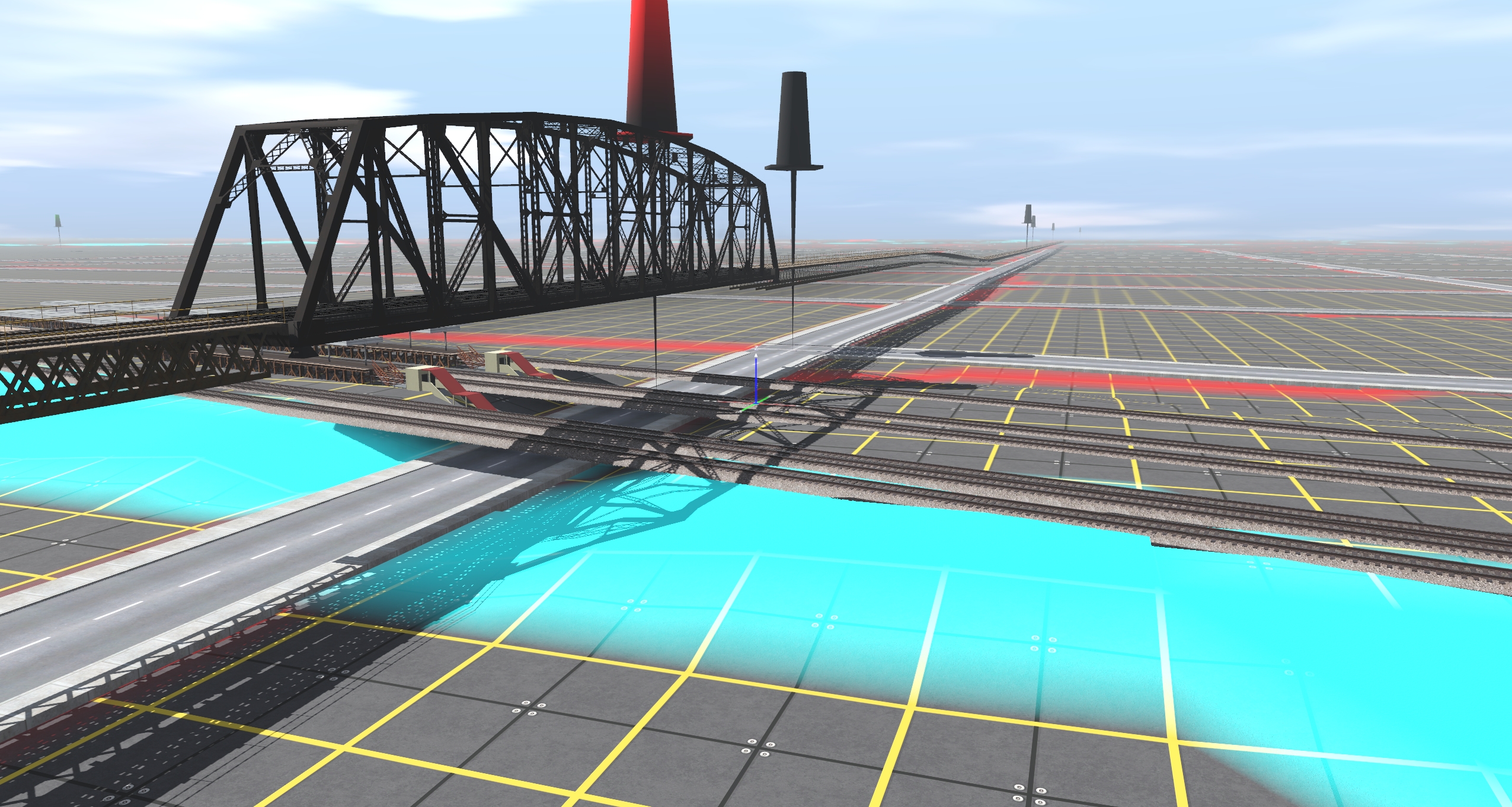
McCormick Place & I-55
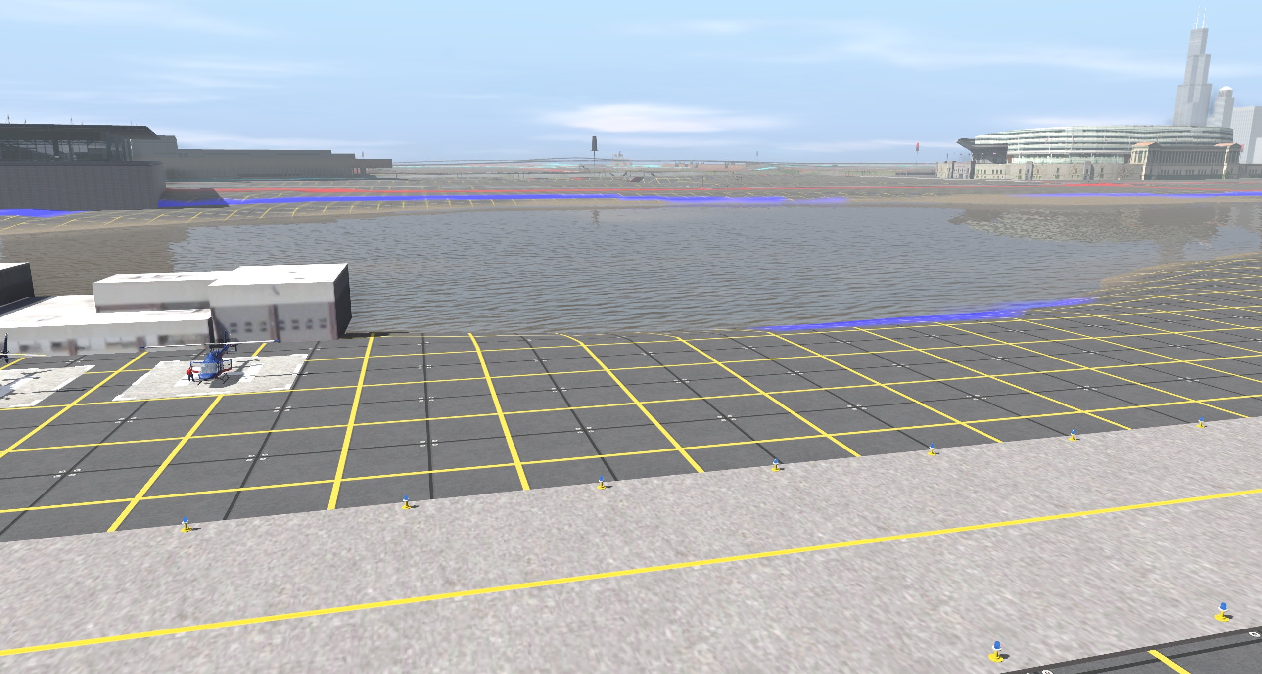
Burnham Harbor
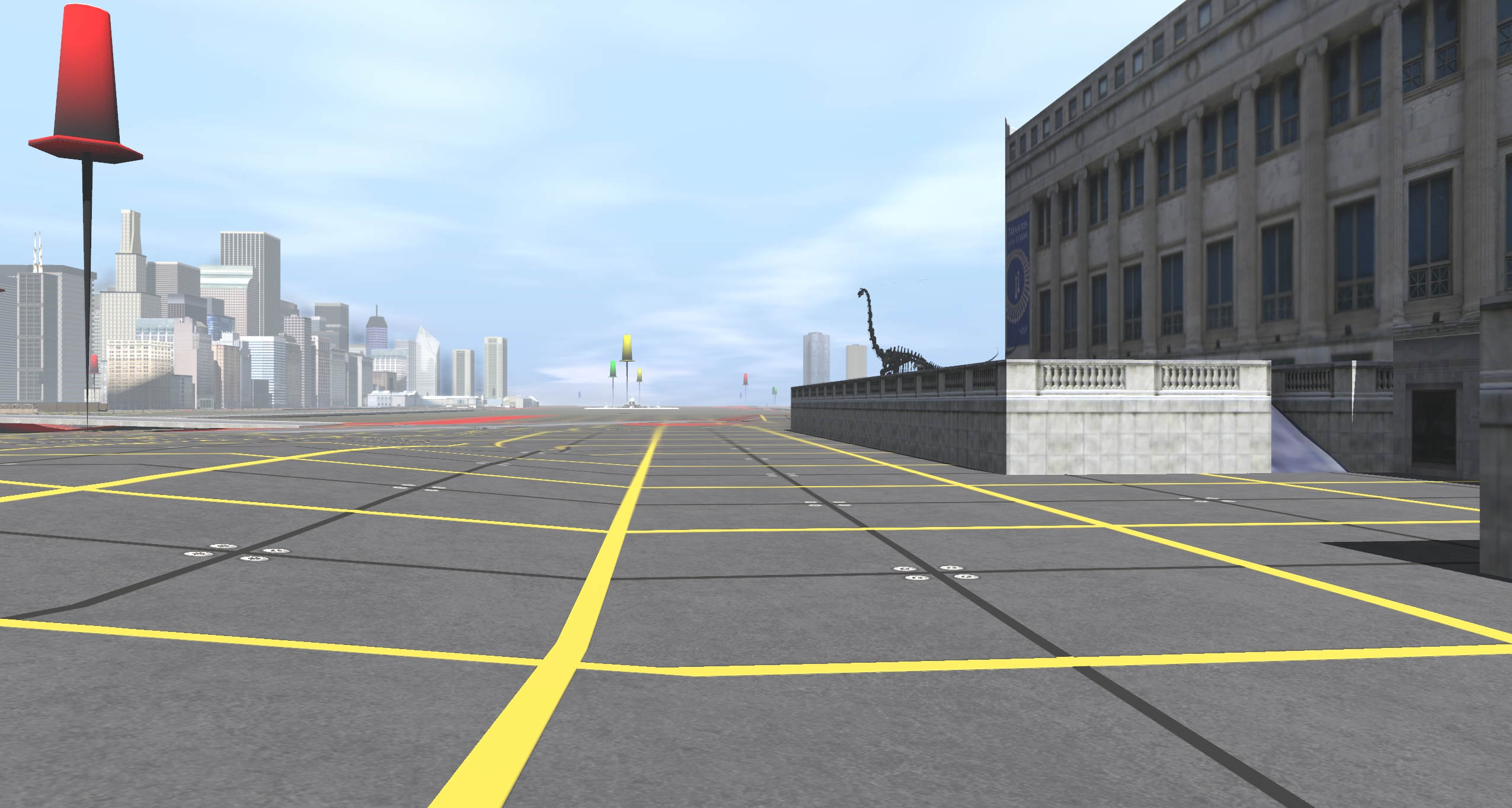
Field Museum
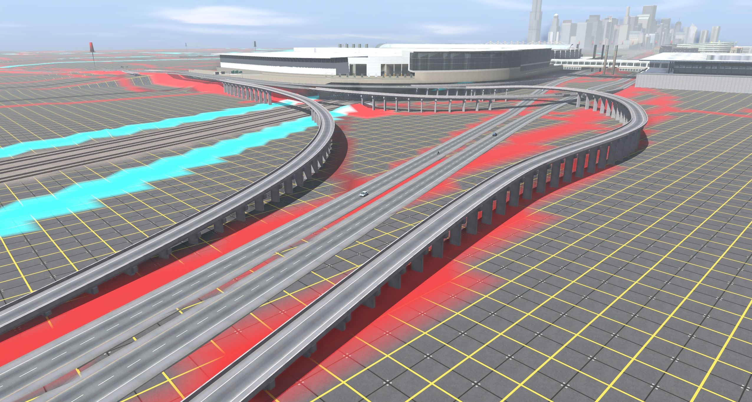
Van Buren Street Station
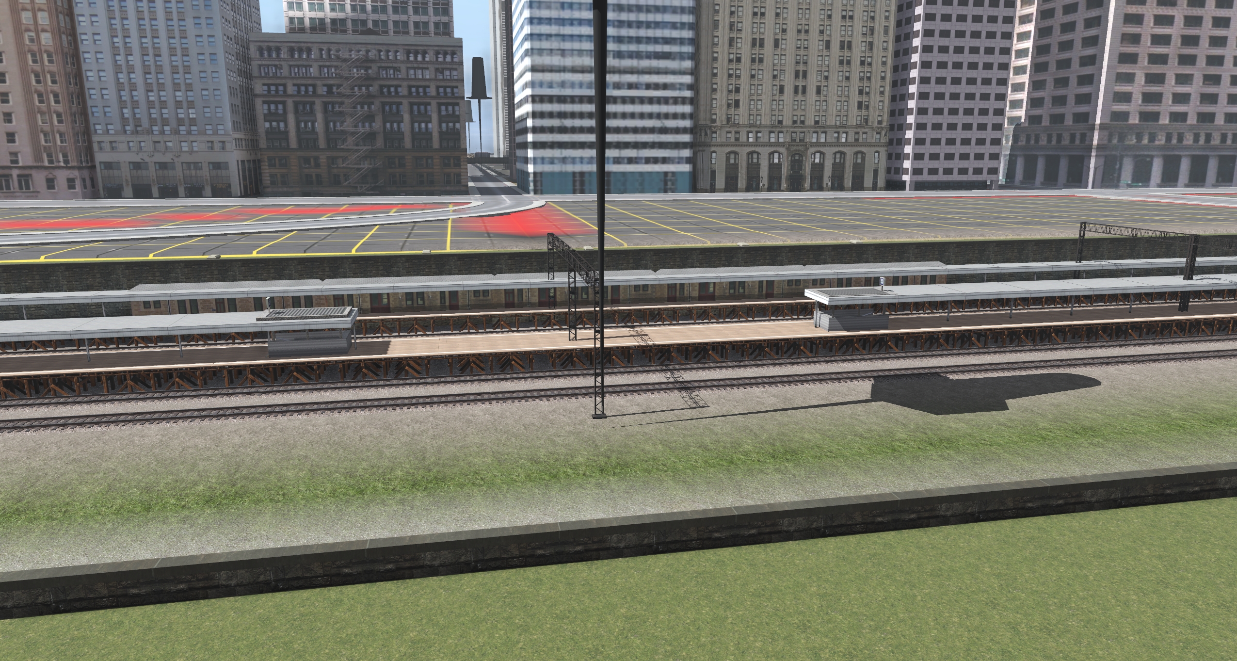
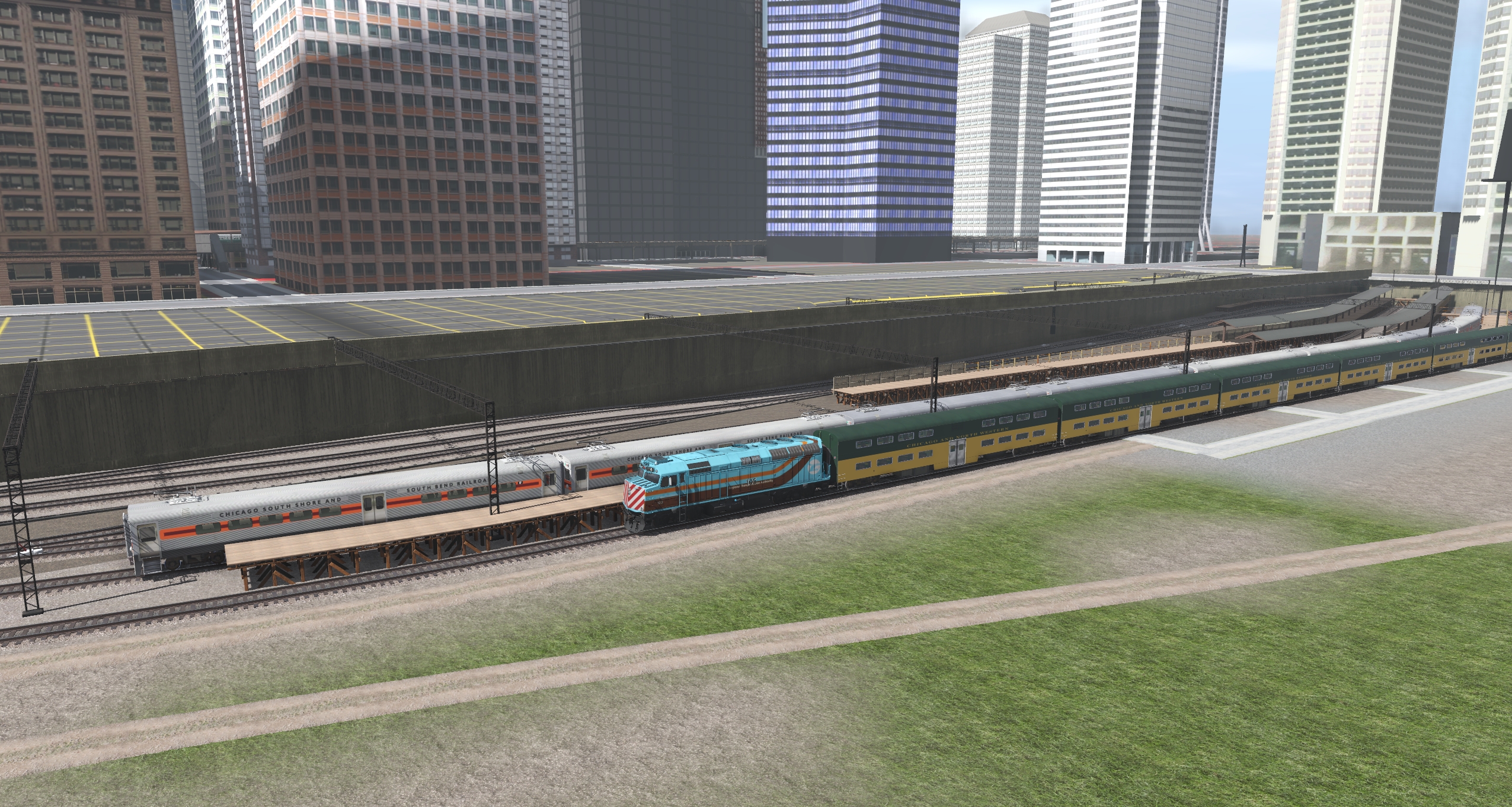
Randolph Street Station
Downtown
Q&A
What equipment would you run on this line?
Depends on the era. The line was originally an Illinois Central line before being sold to Metra, Chicago South Shore & South Bend Railroad has always (during the time frame I'm modeling) operated over it. PWeiser has made the older IC class 1100 and 1301 EMU heavyweight cars. Landrvr1 has made both the older CSS&SB cars as well as the newer single level cars. Both the IC-era bilevel cars as well as the modern Metra & NICTD bilevel cars have not been made for Trainz yet. South Shore has on occasion borrowed diesel loco-hauled equipment from Metra as well.Amtrak runs the Illini, Saluki, and the City of New Orleans on the parallel freight tracks.
")
")