Hello forums,
I've already mentioned this on Phil's TransDEM forums, but maybe someone who's not on the TransDEM forums who has the program can help me. I'm creating(one of two projects) a DEM for the LGV Mediterranée (eg. Valence to Aix-en-Provençe and an extension to Marseille), and I've got the raster maps(via Google Maps in the Map Tile Servers tool), and the DEM data in place. I personally like placing the trackage directly into Trainz, so I won't be using the route/polyline tool. Right now, I'm on attempt #3, exporting the Map with "DEM Elevation and ground textures". When the export is complete, I import it into Trainz, and come up with this:
I hope the screenshot isn't too big. Bear in mind, when I export, I have the DEM/Maps selected within the 'selection box'. The past two times I haven't exported the UTM tiles, and I'm thinking that may be where I've messed up?
If someone's had this same problem(at least one person I've heard/know of already has, so I'm guessing there's someone out there who's experienced this and who may possibly know whats up), I'd like to know what your solution was/is. If I figure it out before a reply, I'll let you guys know")
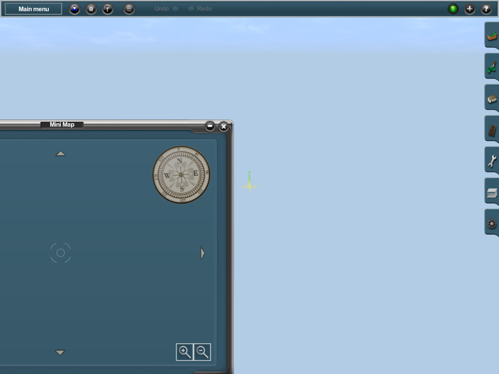
I've already mentioned this on Phil's TransDEM forums, but maybe someone who's not on the TransDEM forums who has the program can help me. I'm creating(one of two projects) a DEM for the LGV Mediterranée (eg. Valence to Aix-en-Provençe and an extension to Marseille), and I've got the raster maps(via Google Maps in the Map Tile Servers tool), and the DEM data in place. I personally like placing the trackage directly into Trainz, so I won't be using the route/polyline tool. Right now, I'm on attempt #3, exporting the Map with "DEM Elevation and ground textures". When the export is complete, I import it into Trainz, and come up with this:
I hope the screenshot isn't too big. Bear in mind, when I export, I have the DEM/Maps selected within the 'selection box'. The past two times I haven't exported the UTM tiles, and I'm thinking that may be where I've messed up?
If someone's had this same problem(at least one person I've heard/know of already has, so I'm guessing there's someone out there who's experienced this and who may possibly know whats up), I'd like to know what your solution was/is. If I figure it out before a reply, I'll let you guys know