Gotham (alternatively New Hull City) street grid, circa 1935
I don't know how far this little 'side-project' will go, but after my trip up north to Chicago a few weeks ago I became enamored with the way the streets are laid out in the loop. So as you can see, I've started a small layout which currently focuses on a downtown area in a major city much like Chicago. I decided to use the name Gotham because it's been used in fiction to describe Chicago (and often erroneously believed to be New York City). Incidentally, the city is alternatively named New Hull City. I had thought of New Hove, but I am already using that for another project. I'm not sure where this is really headed, but hopefully I will have more to show later on down the road. The level of detail tends to make this a time consuming affair. What I have in mind is a mixed-mode layout with buses, streetcars, rapid transit (subway and el), and mainline trains.
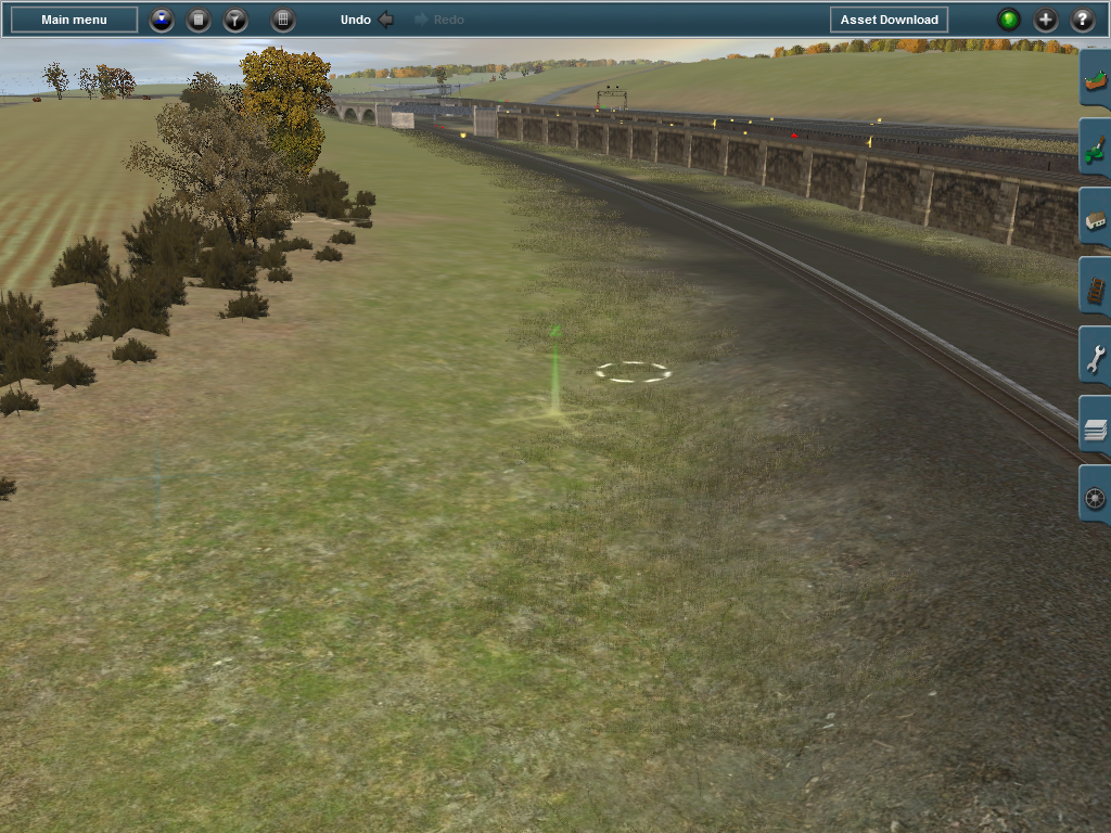
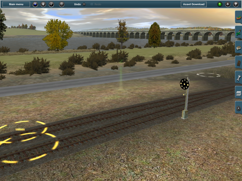
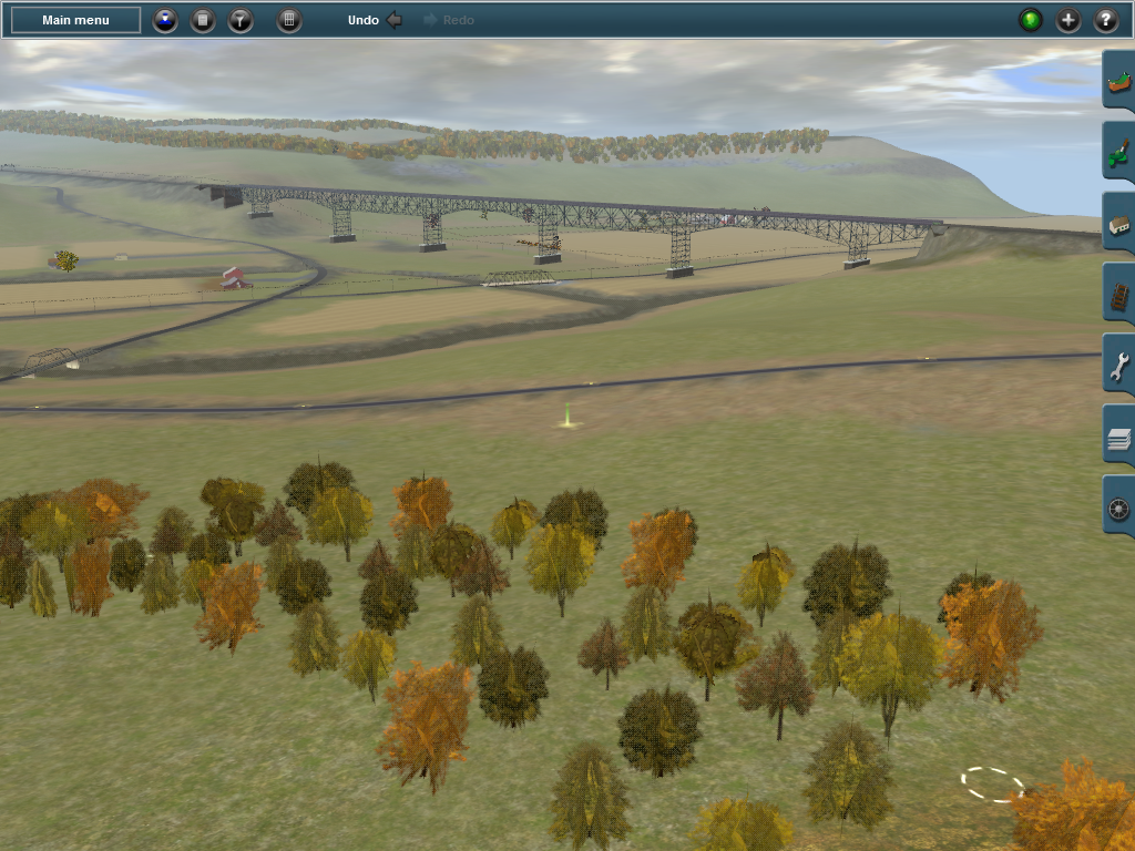
As of now, I am just laying out the street grid. Once a good chunk of the grid is complete I'll be working on the mainline (i.e. steam) railroad lines and then incorporate subway and elevated lines. I have a few other things juggling in the background (including a BR Class 321, a CTA 2200 Series, a CTA 5000 Series, and the IC Wickerliner). So far its turning out very interesting. I'm actually improvising and the only real Chicagoesque elements here are the trajectory of Riverside Drive based on Wacker Drive, the multi-level nature of the roads, and the traffic circle at the bottom left hand corner. The traffic circle has an interesting background, as its inspired by the pseudo-roundabout on Michigan Avenue in front of the Wrigley Building. Things are a little different though, as the entire downtown area is intended to be built with multi-level roads in mind. If I'm not mistaken, only the North Loop and Wacker Drive are multi-level in real life. As an urban planning enthusiast, I know about Daniel Burnham's masterplan for Chicago of 1909. I've thought about including some of those never-realized ideas of his such as a civic center plaza across the river, and the L'Enfantesque circle and diagonal street plan overlaid on top of the traditional grid network.
I have some other interesting ideas that I want to test out here in the future. The original Wacker Drive didn't have so much median like I have here, so I am contemplating keeping the medians or reducing them and keeping it minimal. In consideration, I could include placing parking spaces along the median, or making a BRT-style lane for buses. At the moment, I'm not satisfied with the parts available for usage to give the road a more realistic 'elevation' so I have taken it upon myself to create the walls, pillars, and other elements involved. I also have a single traffic signal on post which I want to make ATLS-compatible. At this point, I'm not really worried about buildings but I'm hoping to create an example of fully-realized 'city beautiful' planning (the urban planning equivalent of Beaux-Arts).