Work in progress - The Wisbech Line

fen_tiger

Building the Wisbech line
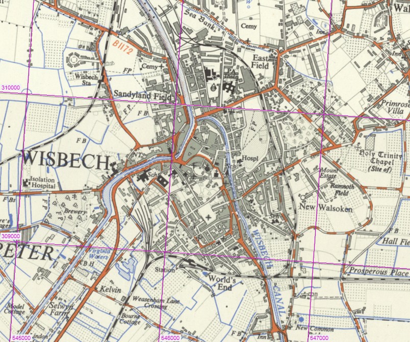
First screenshot Ive managed to figure out in doing of a work-in-progress railway branch line being built on my copy of Trainz2012. I am recreating almost identically on Trainz2012 the former 17 mile Great Eastern Railway branch (1847 - 1968/2001) from the town of March, Cambridgeshire to the small village of Magdalen Road, Norfolk via Wisbech (Wisbech East Station).

Progress will be slow for me in building the route as I cannot always find the time to get to the PC, and also because as I am building an identical copy of the prototype route and landscape in my part of the East Anglian Fenlands.

All black and white photographs are taken from my book 'Branch Lines Around Wisbech' so you can compare the original photo to my initial work-in-progress recreation of the former GER route.

(1) Middle Drove Station

Middle Drove Station was the first on the single track branch from Magdalen Road to Wisbech East. It had a passing loop, the only one on the line between Watlington (Magdalen Road) and Emneth. Middle Drove and Emneth Goods depots closed on 5th October 1964.


Last edited:
Before you get too far into this route - are you going to use a DEM? It will look a lot better if you do - nowhere on Earth is as flat as a Trainz baseboard! If you do need a DEM of the route, let me know as I may be able to help.

Paul
 
Before you get too far into this route - are you going to use a DEM? It will look a lot better if you do - nowhere on Earth is as flat as a Trainz baseboard! If you do need a DEM of the route, let me know as I may be able to help.

Paul


Hi Paul,

Would you be able to help with a DEM for my Battlefield Line route? Last few posts on this thread - http://forums.auran.com/trainz/show...ots-(Large-screenshots)&p=1199907#post1199907

It's a part of the old Ashby and Nuneaton Joint Railway in Leicestershire, I have no idea how DEMs work and it would be useful.

Thanks

George
 
Before you get too far into this route - are you going to use a DEM? It will look a lot better if you do - nowhere on Earth is as flat as a Trainz baseboard! If you do need a DEM of the route, let me know as I may be able to help.

Paul

Since I never heard it before, what is a DEM?

By the way GeorgeM2010, you're doing a good job.
 
(2) Smeeth Road

Smeeth Road Station, about 1.7 miles towards Wisbech from Middle Drove was the only single platform between Watlington and March. The station only had a basic goods yard serving the local agriculture. The signal box, one of eight between Middle Drove and Coldham, had a 15-lever frame.


Last edited:
hholdenaz,

It's Digital Elevation Modelling. Transferring a map for example from google earth to get an accurate profile of the terrain you wish to model.

Dan.
 
(3) Emneth Station

The Watlington to Wisbech branch crossed Marshland Fen in a straight line, resulting in Emneth station standing over one mile north of the village. Emneth station is about 1 mile towards Wisbech from Smeeth Road station.


* Middle Drove, Smeeth Road and Emneth stations yet to be constructed
 
Last edited:
Looking nice, there's some good gate crossing out there on the DLS, try them out :)
The books you have much be really helpful!

George
 
Thanks ;)

This is the book I have that I am using to bring back the former railway line and possibly part of the old W&U Tramway through my home town.

P8130053.JPG
 
Hi Andy

my book 'Branch Lines Around Wisbech'

I must confess, to my shame, that this is one I haven't got - yet. But knowing that you are the author - everything fits into place!

Ray

PS I should have said, very nice models indeed. The whole route will be a must for East Anglian/Fenland fans.
 
Hi Ray.

Hehehe. I wish I was the author of that book. Andrew C. Ingram sometimes is seen either in Wisbech Library or doing a lecture about local history in the museum. I've seen him many times around town.

Talking of me playing trains, I should get Wisbech East Station & Tram shed done by thursday or friday as a complete finished model so I can finally show off what I can potentially achieve. Until then, I just need to fiddle about with the tram shed and sidings as today I have for some reason finding the turnouts not quite going how i want them to, as according to the track diagram of the station in the book. Far much easier if the real station was still here and not been demolished in 1969 and later the site replaced in the late 1990s by a housing estate.

At the rate I'm taking to fiddle about with just building the sidings at Wisbech first and at March Whitemoor later on, it'll be 10 years before I can properly play trains.

Andy.
 
(4) Wisbech East Station

The station was at the junction of the 1848 single line from Watlington and the 1847 double line from March. This was Wisbech's second station and was located on Victoria Road. The first 1847 station site was located on Coalwharf Road and was later turned over to goods use following the opening of the Victoria Road site. Wisbech East was also the terminus of the 5 mile 1883 - 1966 GER Wisbech & Upwell Tramway and had a tram shed adjacent to the lower-level island tram platform.

Wisbech East station closed following withdrawal of the March to King's Lynn passenger service on 9th September 1968. Demolition work commenced on Wednesday 5th May 1971 with two gallons of diesel and a match. Paperwork dating back to the 1855 station and some tramway relics were rescued before the building went up in flames.


Last edited:
Well best of luck! I'll be watching closely. I've just spent the last 2 hours getting the grades right on the stretch of track between Shackerstone and Market Bosworth. Just me, Trainz, Google Earth and a load of rulers! Haha. I'll post a shot of my handy work haha.
 
* New Screenshots - 21th September

March Station and March East Yards (initial work in progress only)

This is initial work-in-progress only just to get all track into position ahead of signalling and station building work. All track is identical and to the exact same distance measurements of the prototype near to Whitemoor Junction, March, Cambs. I have based my track layout here on March East Signal Box 1970s track diagram. The main line double track (left side of picture) runs for about a scaled half-mile from the triangle junction. At the far end of the main line is a loco run-round loop. At the bottom of this image are the tracks leading to all six platforms of my 1970s recreation of March Station. To the right of this image are my three redundant carriage sidings and behind is Whitemoor Junction itself - the single track to my Wisbech Station (7.8 scale miles away) and the proposed connection to my planned Whitemoor Marshalling Yard.


(2) 1970s recreation of March Station

Initial work only just to get all track and platforms aligned into position ahead of signalling and building work. All track is identical to how the real March Station was in the 1970s before most of the track was lifted by British Rail. All distance measurements I am using are exact to the real station track layout of the 1970s. From left to right (following the real station of the 1970s) - through Platforms 1 and 2, in real life were for March - Spalding trains; Bay platforms 3 and 4, which were in real life used by trains to Wisbech and King's Lynn until 1968; and through platforms 5 and 6 on the right side. Today, only platform 5 & 6 on the prototype station still have track through them and are used for cross-country services between Norwich and Peterborough.

 
Last edited:
Hi Andy,

An excellent project. A large part of my Welney&UmnethTramway route is based on the W&U. If you are going as far south as March, I can also recomend MP's 'Branch Lines around March' as well.

I have a number of books about the W&U Tramway, including the two you have listed from MP. The best, IMHO is by Wild Swan Publications 'The Wisbech & Upwell Tramway' ISBN 0906867096
 
Hi Lord-Claud..

I guess you also have the 'branch lines around wisbech' book? I have this book and the W&U tramway/canal book, but not the March book - for this I'm using google earth to map out March station and yards.

I already have the 17 mile main line track in place from March through to just beyond Middle Drove station - this was the very first thing I built. I may even consider building the 5 mile W&U tramway too, seeing as I have Wisbech Tram shed, the tram platform lines, and W&U tramway junction on the wisbech to king's lynn line in place. I even have a quarter-mile section of the old Wisbech GER Harbour line in place too, connected to the main line at wisbech harbour junction (& its signal box) just east of my station. I might build the rest of the harbour line too, based upon the real 1866 - 1966 GER harbour line.
 
Since I never heard it before, what is a DEM?
The acronym and term itself is American and it stands, as already posted, for Digital Elevation Model. In British English the term is Digital Terrain Model or DTM which is easier to understand. It's a kind of digital map and consists of a regularly spaced grid of height points. Each grid point has an exact location, called georeference. For The UK, certain DEMs/DTMs are provided by the Ordnance Survey free of charge. Horizontal spacing is 50m for those, a bit too coarse for railway cuttings and embankments but not that bad to get a general idea of gradients. And, of course, they can be used to shape Trainz terrain automatically - with a piece of software.

As for following the former prototype route, now lost under the Fenland landscape, I am using Google Maps Distance Calculator to accurately measure distances between all the level crossings and numerous farm crossings that once existed, plus I shall use Google Earth to map out the surrounding landscape, villages and parts of both the towns of March and Wisbech.
Sounds like a rather complicated approach. I just checked the UK historical map collection, accessible in the Map Tile de-facto standard, and the 1:25,000 O/S topo map in this collections appears to show the line. Since it's already georeferenced, it can be easily combined with the DEM and should turn out nicely as ground textures on the 5m terrain grid in Trainz.

 
Back
Top