But not using TransDEM.
On the other hand, that one helps to understand how complicated things become if we neglect an essential piece of information in any map or ortho-image: the geo-reference.
I received an email from a user the other day, complaining about the poor perfomance of TransDEM when it exceeded physical memory(!), due to the vast amount of geo data he'd loaded for a route more than a 100km long. This would definitely not happen with the base map approach shown in the video, because of the enormous time it takes to complete all those manual steps over and over again.
And still, I again suggest for TransDEM to use the Map Tile client for acquiring the ortho-images and not bother with the semi-automatic or semi-manual procedure with Google Earth images and placemarks.
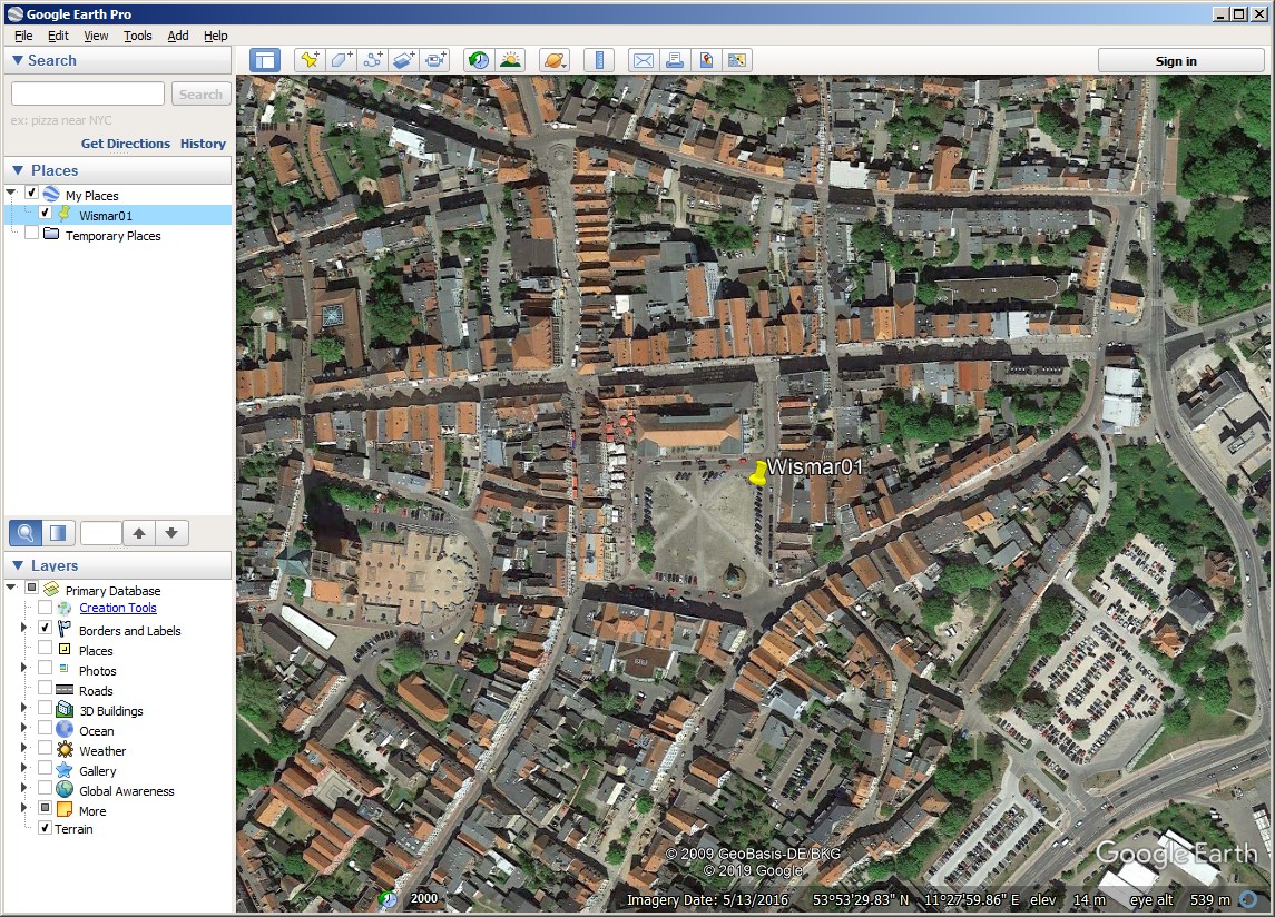
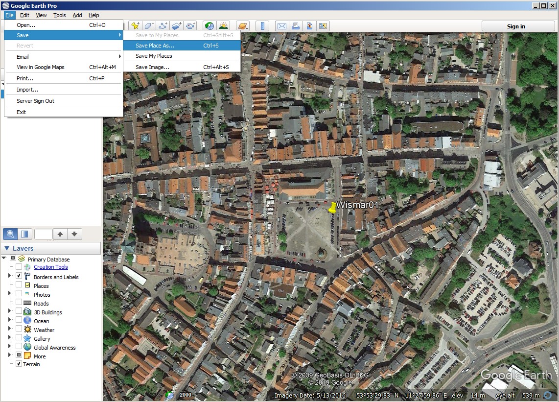
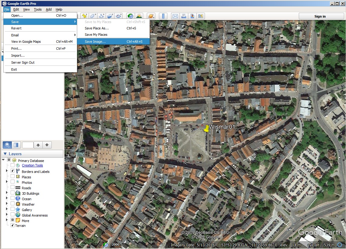
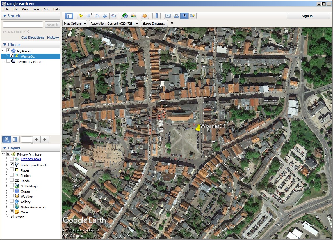
With individual Google Earth images to still have to repeat for each image:
- In Google Earth, position the image, align "Up" and "North",
- Set a placemark and name it,
- Save the placemark,
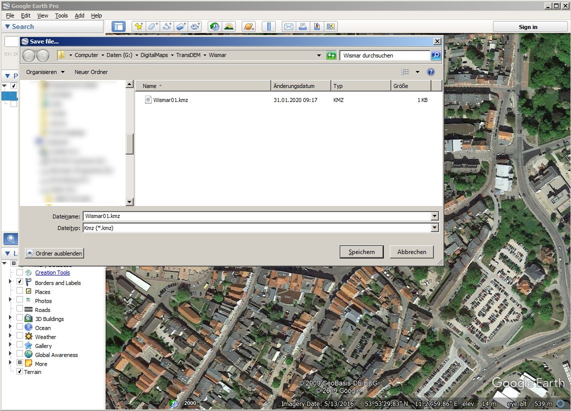
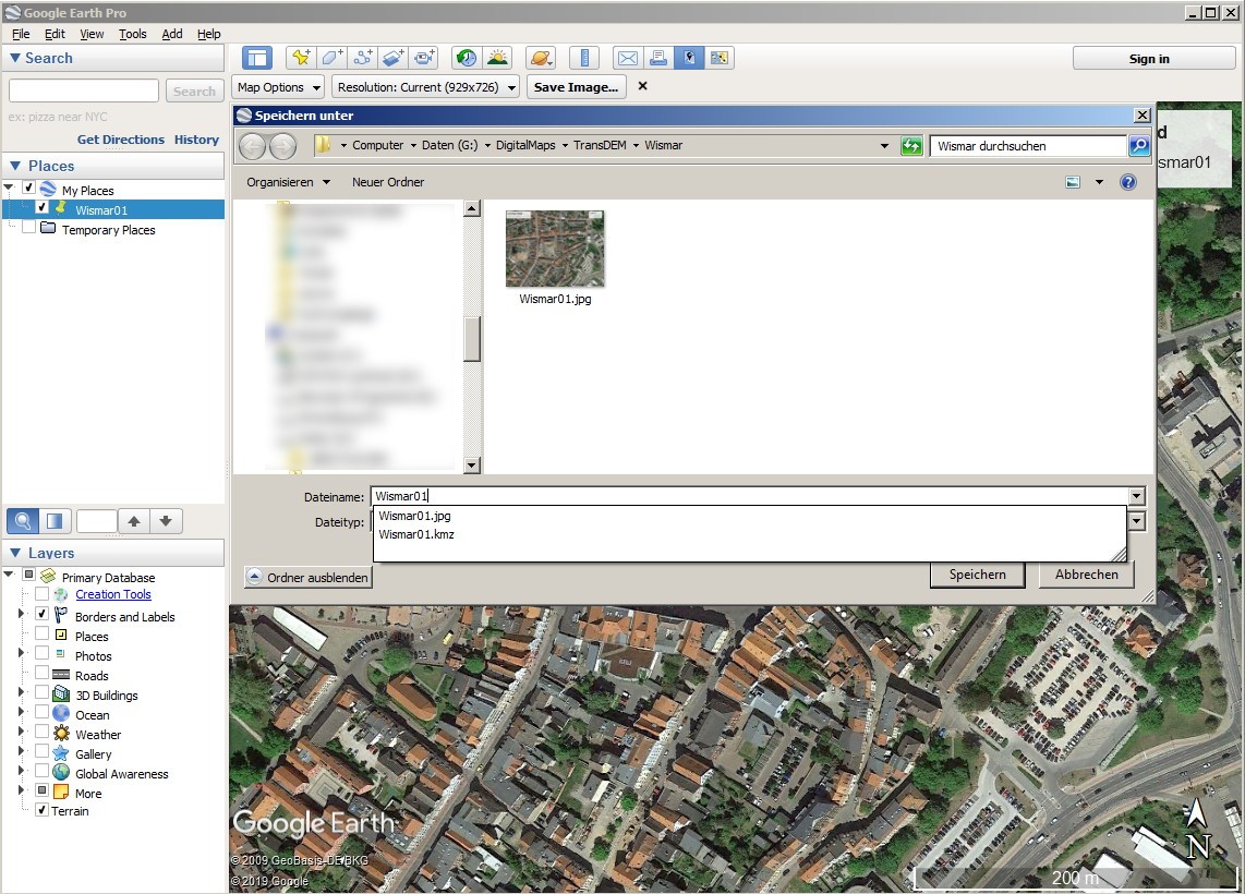
- Save the image, assigning same name as for placemark,
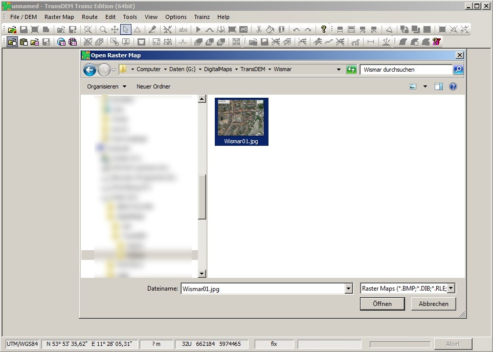
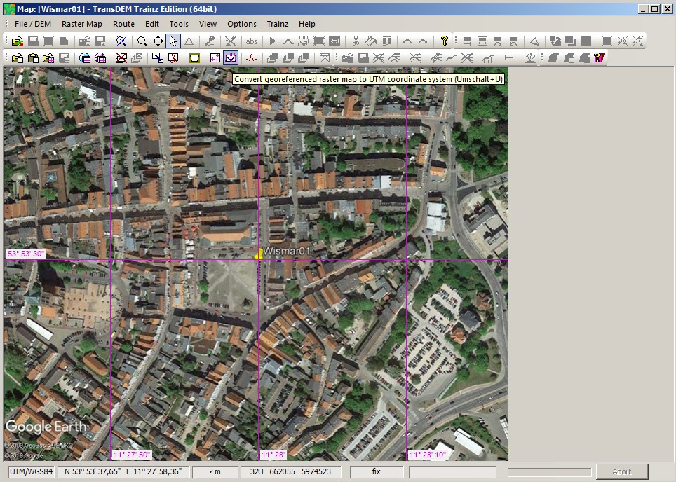
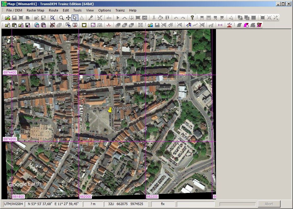
- In TransDEM, open the image,
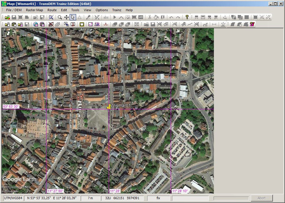
- Convert to UTM,
- Save
With the TransDEM Map Tile client, on the other hand:
- Acquire a single medium scale map clipping that shows your route,
- Trace the route path with the built-in vector line editor,
- Let the Map Tile client acquire all the large scale images along the path.