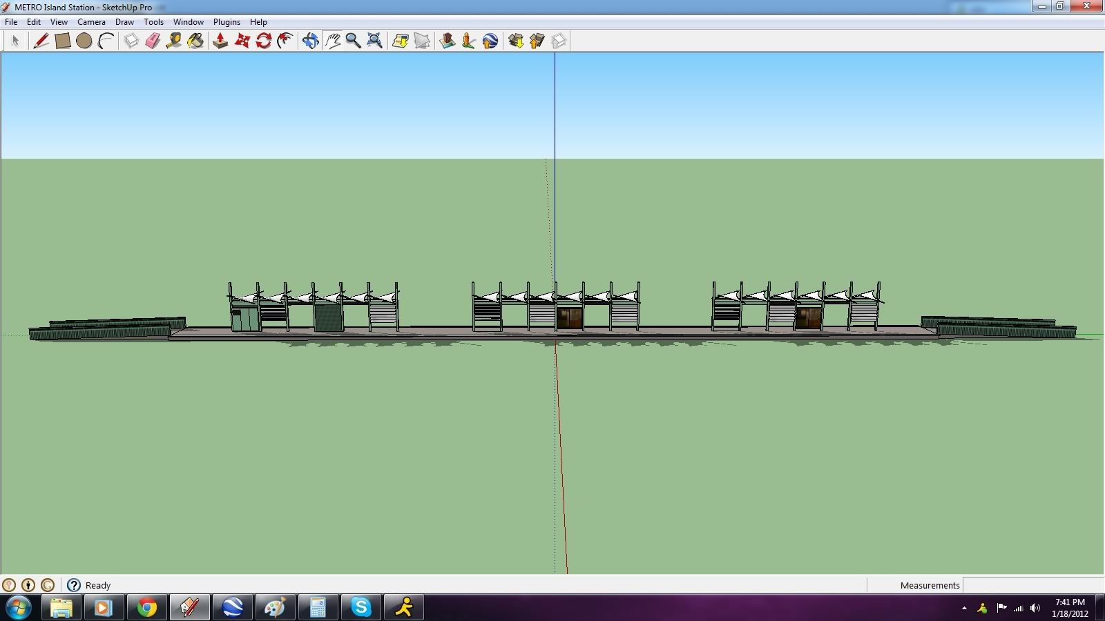
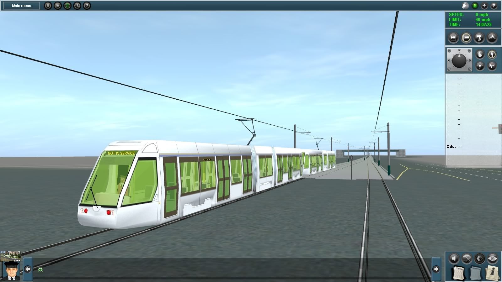
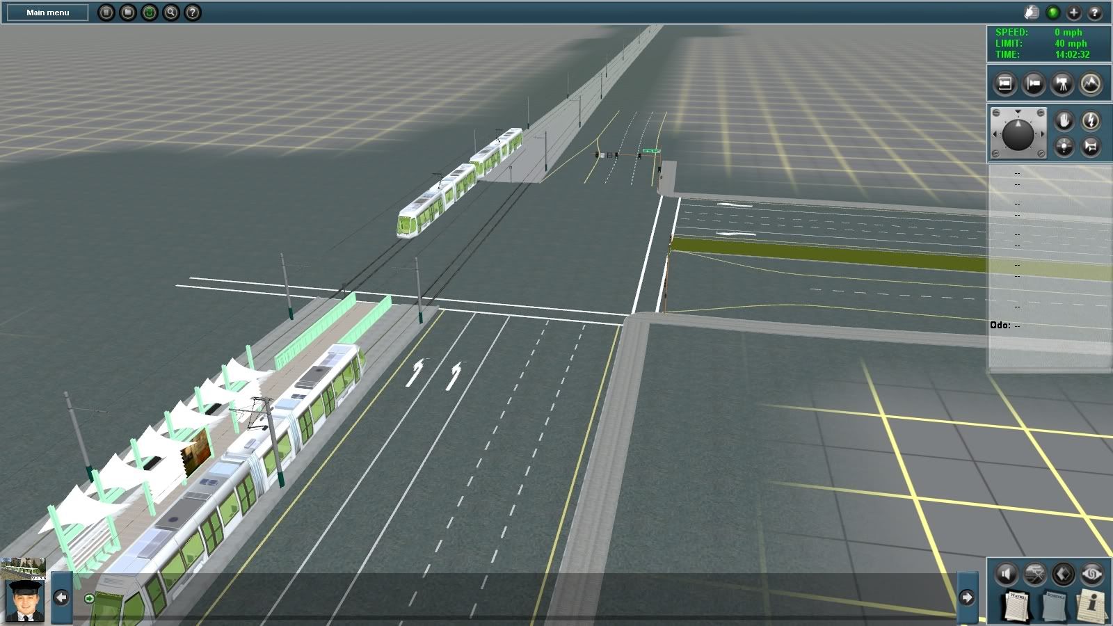
Variations and Photos
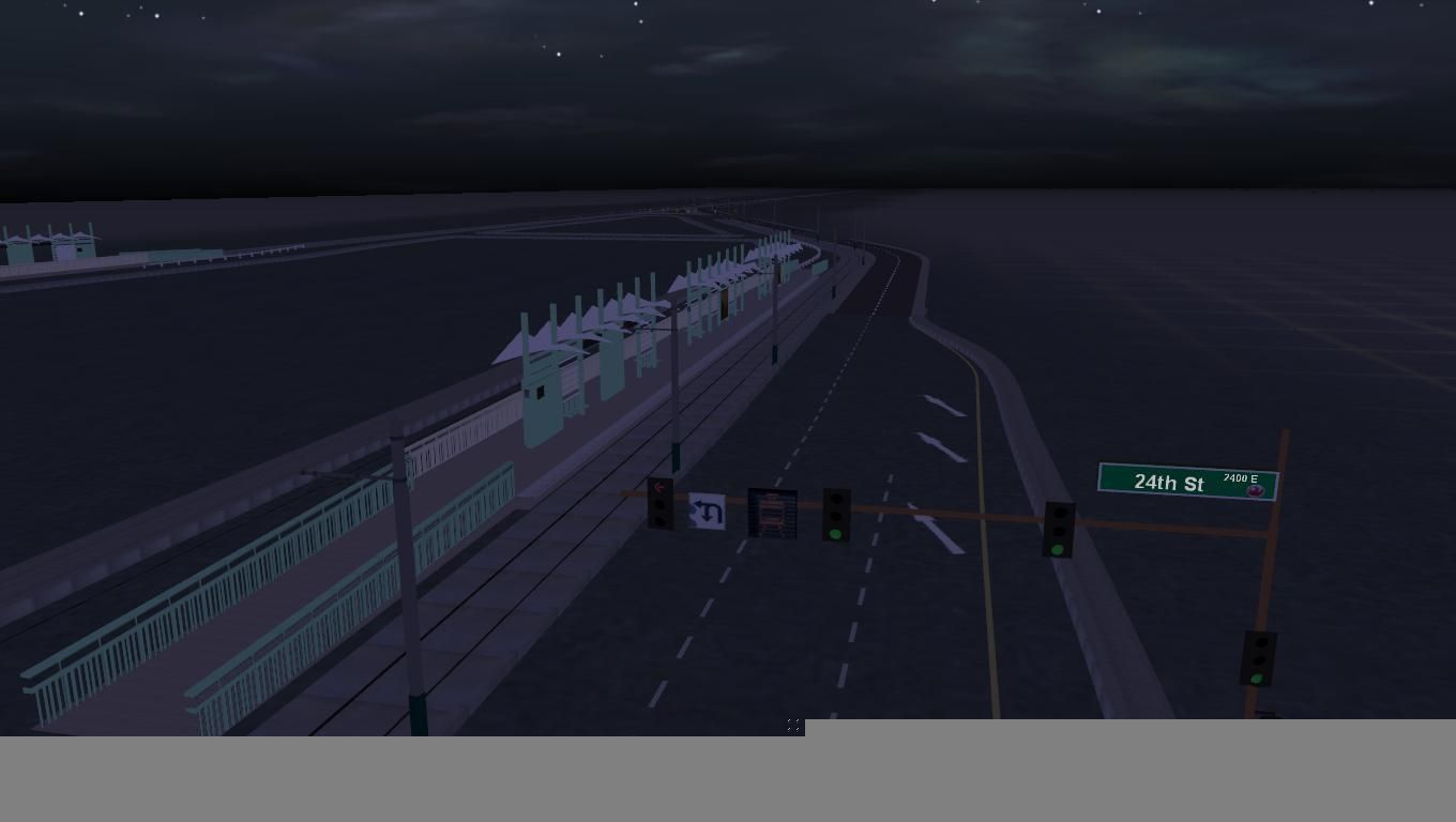
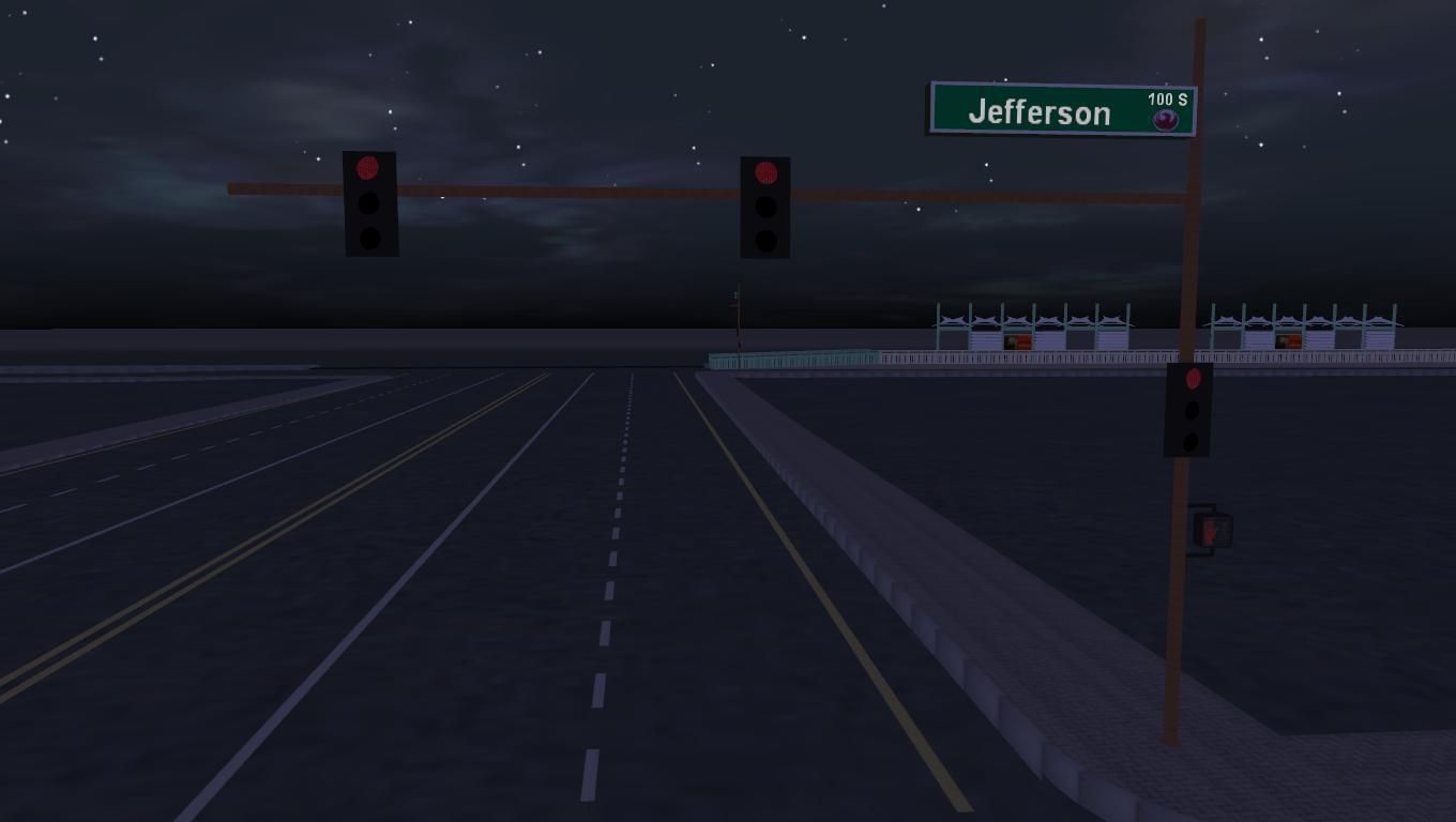
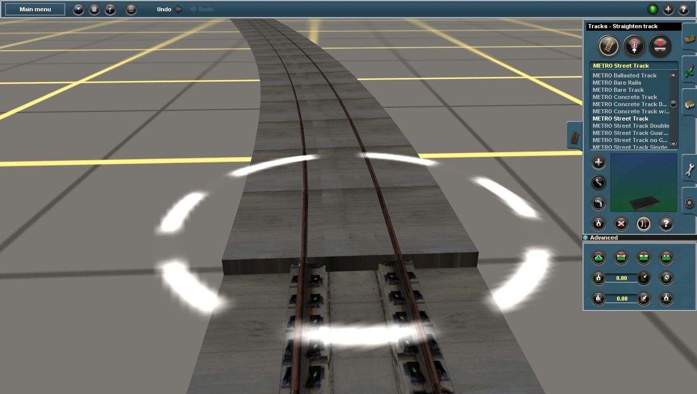
Since stumbling upon Streadway's fantastic sign set and combing through his configs I have decided to use his method of "mesh replacement" for the different signs. It's going to be complicated (at least for me) to implement, but basically instead of having dozens of sign objects, I'll have a core set of 3 or 4 that are able to show different meshes depending on what sign is being used.
For example, if I were laying scenery in Phoenix, I could have a base traffic light/sign pole and through the properties tab I'd be able to edit that sign and change the following mesh 'qualities':
- Color of the pole itself
- Type of street sign used (normal one-line, larger two line, no street numbers, street numbers, etc)
- How many traffic lights are attached to the pole and of what variation (right-turn arrows, left-turn arrows, etc; 2 lane, 3 lane, etc)
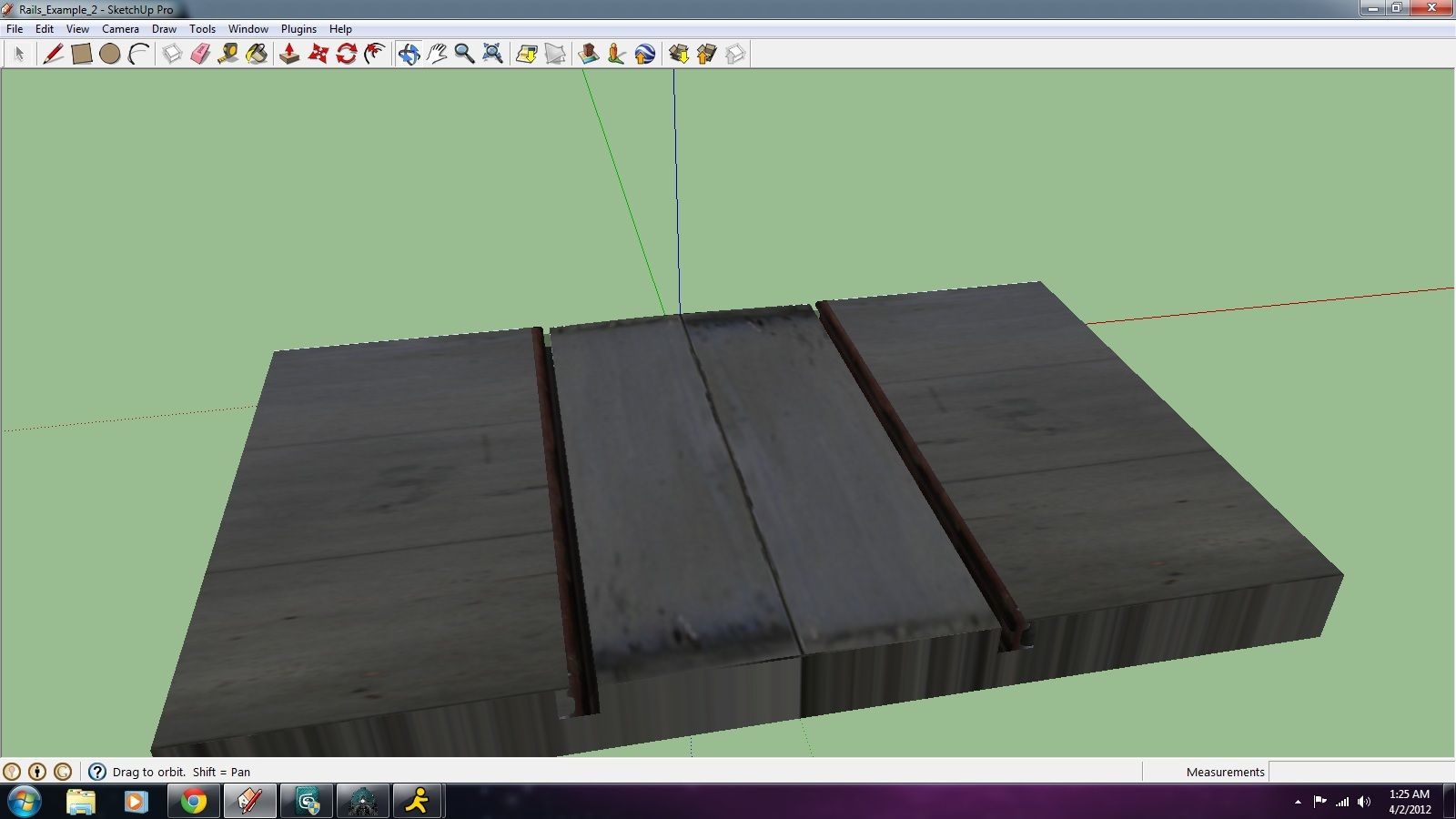
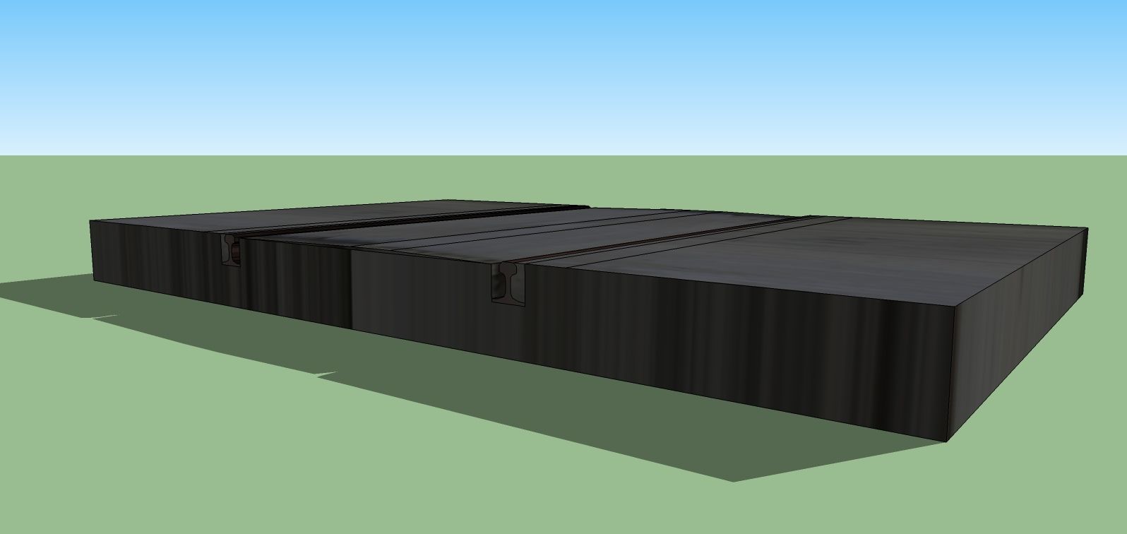
The above would use a base mesh and reference other meshes in the properties tab to bring about the desired result. One of Streadway's examples uses a base support pole for his freeway sign, and through the properties tab different types of signs are able to be selected. I haven't figured out the layout of my sign yet, but I hope to make some progress with at least getting the pole color and type of street sign to be interchangeable
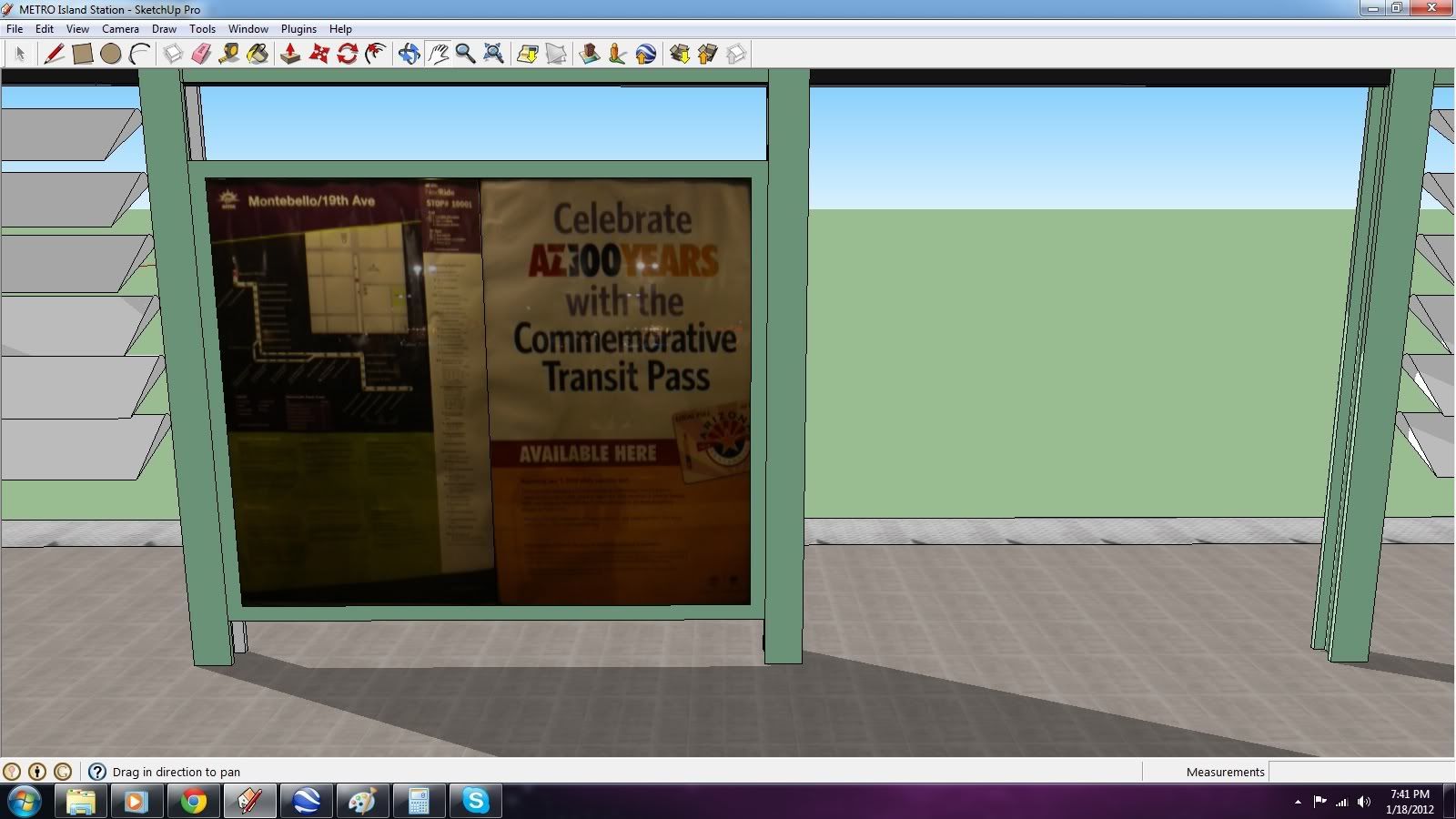
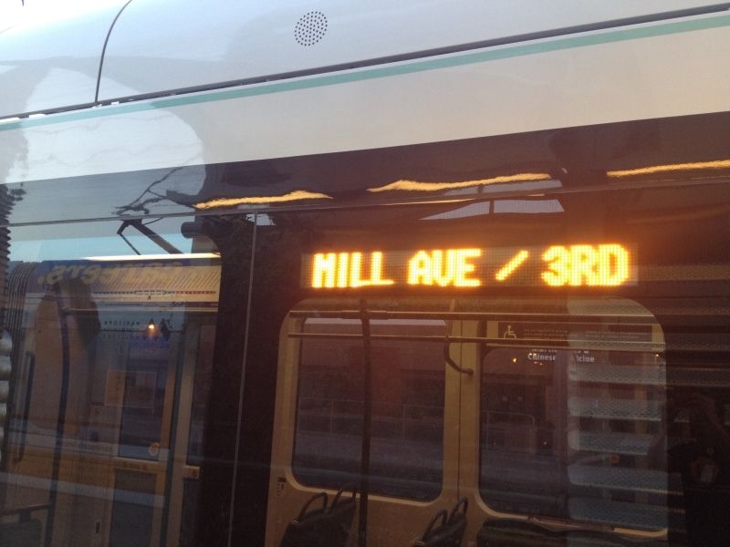
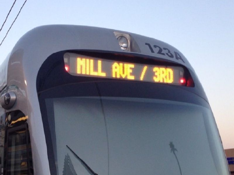
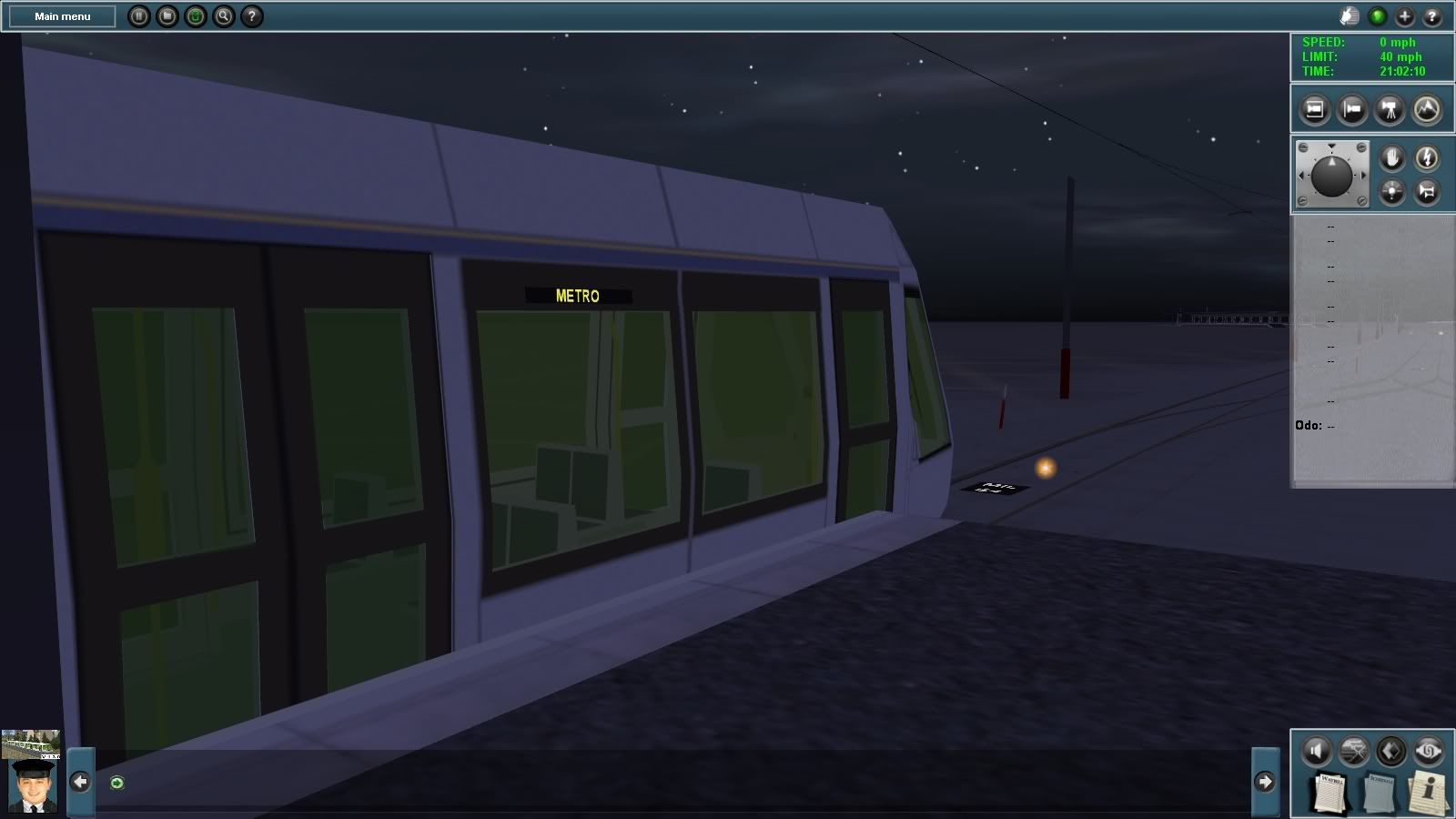
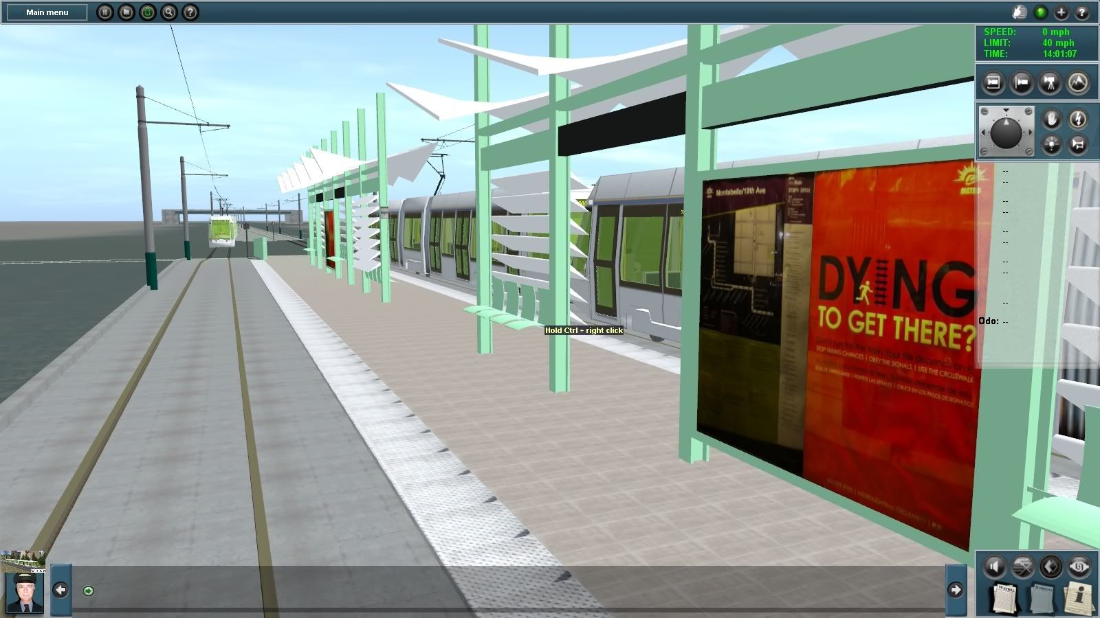
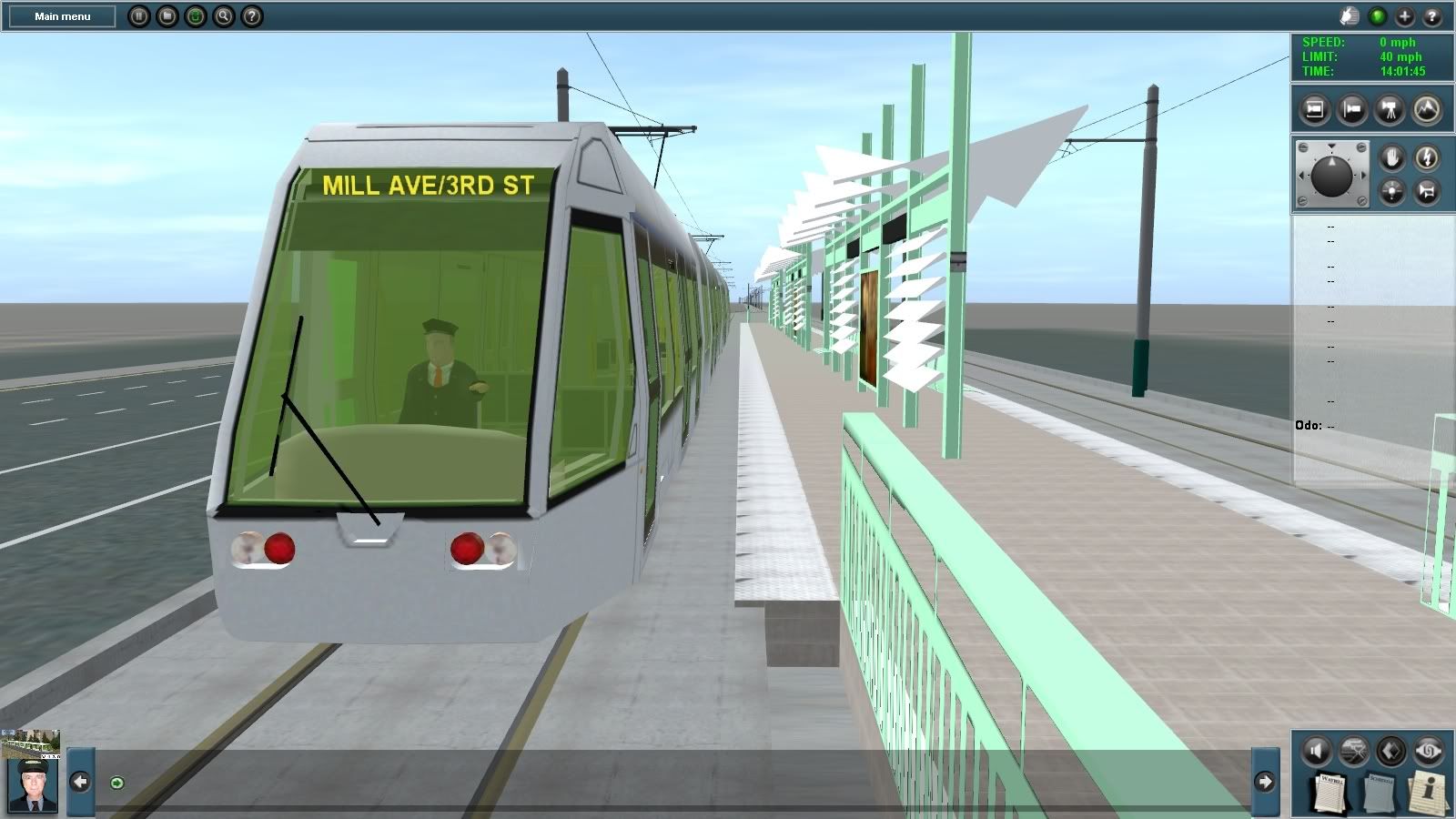
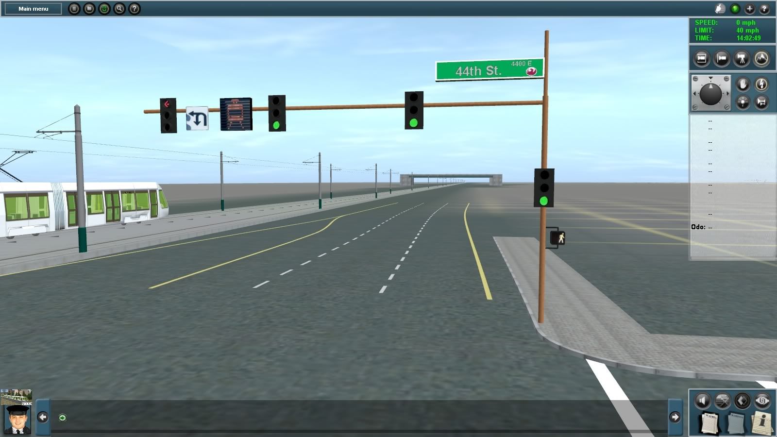
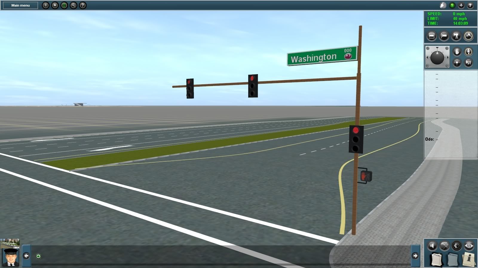
Since I'm not able to access the Southwest thread on NYCTF (still locked out of my account for some reason), I've decided to post some rare finds here from my light rail trip yesterday. Usually only four LED readings are used on a regular basis here in Phoenix, one for the Phoenix terminus (Montebello/19th Ave), one for the Mesa Terminus (Sycamore/Main St), 44th St/Washington, and standard "METRO" when a train is idling at a platform or running light. I know some trains end at Mill Ave/3rd St but I've never been able to get evidence of this LED reading---until yesterday! Below are a few photos of this rare occurrence. I know some of my AZ natives here on the boards will appreciate this find.
(These were taken at the Sycamore/Main St station. For those riding the light rail, there is a train that departs Main St at 7:10 pm that ends at Mill)
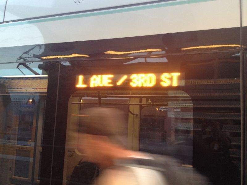
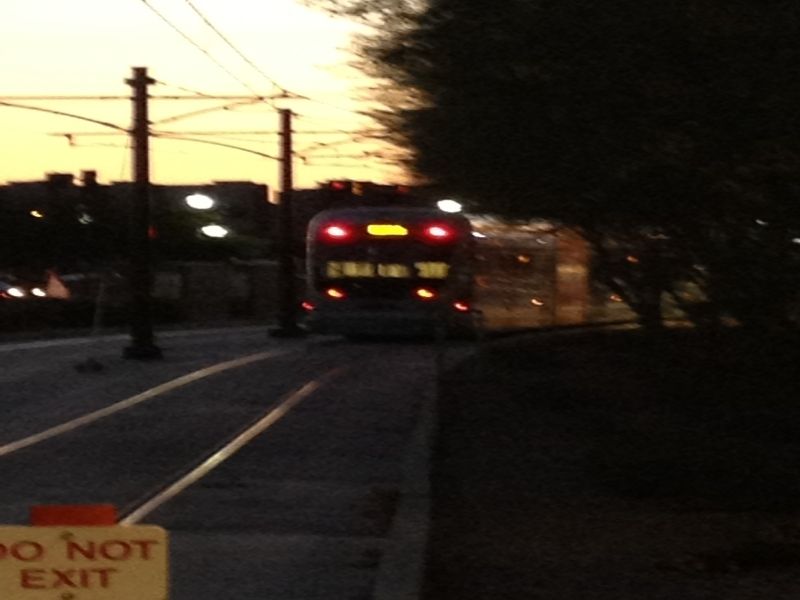
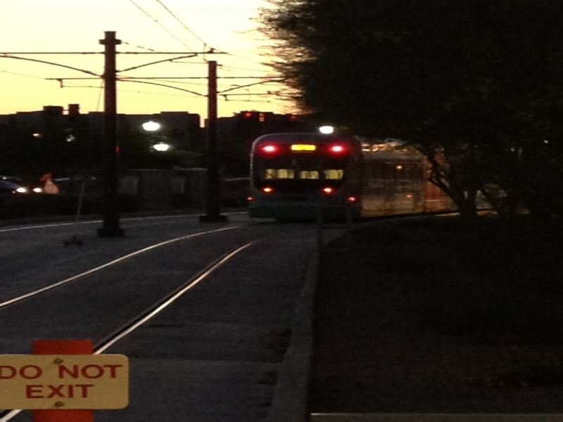
Heading back to the yard, after leaving Mill: (sorry for the blur)
Enjoy! Once this history paper is finished and submitted by tomorrow, I will resume work on this route.
-A :wave:
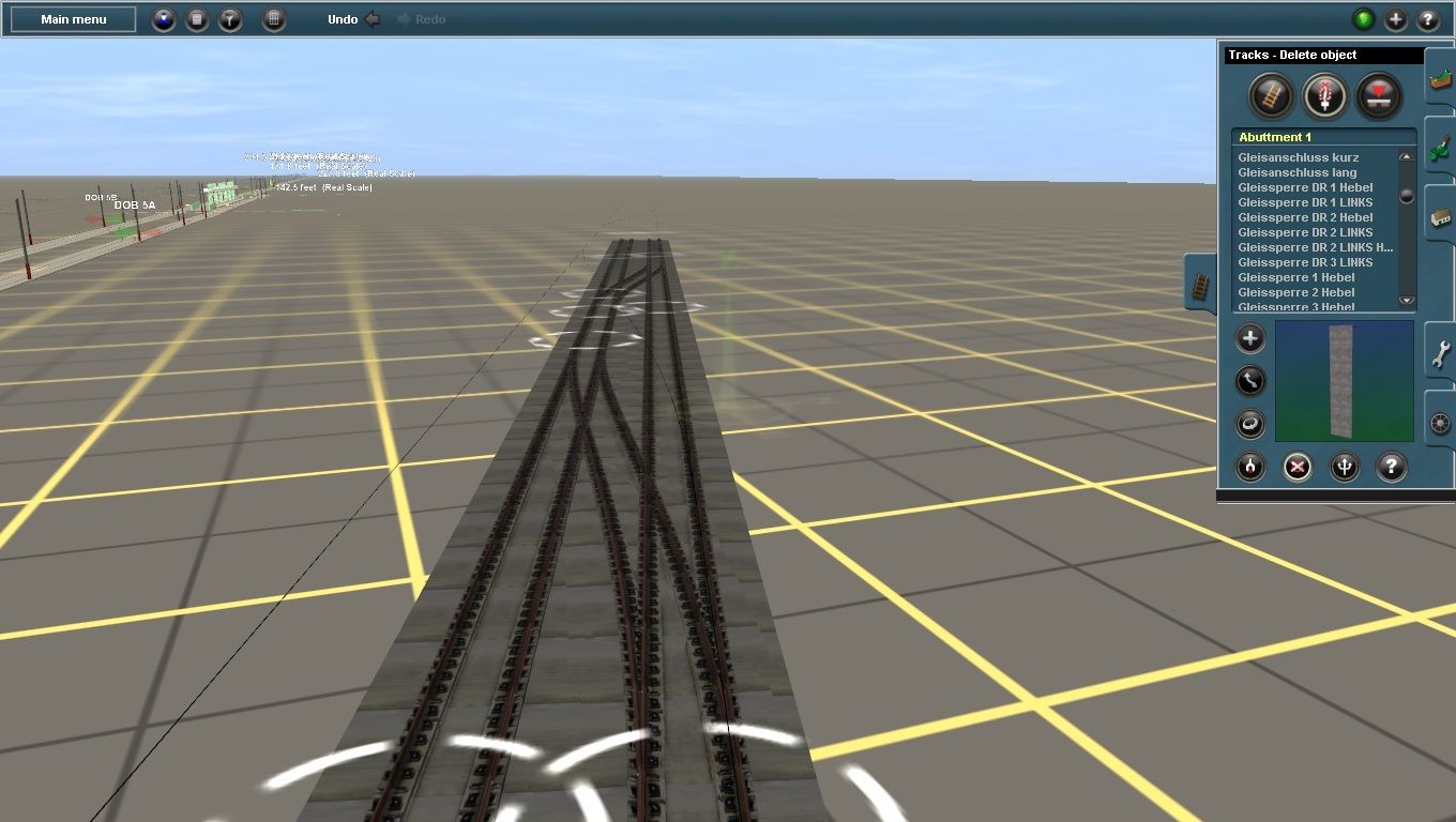
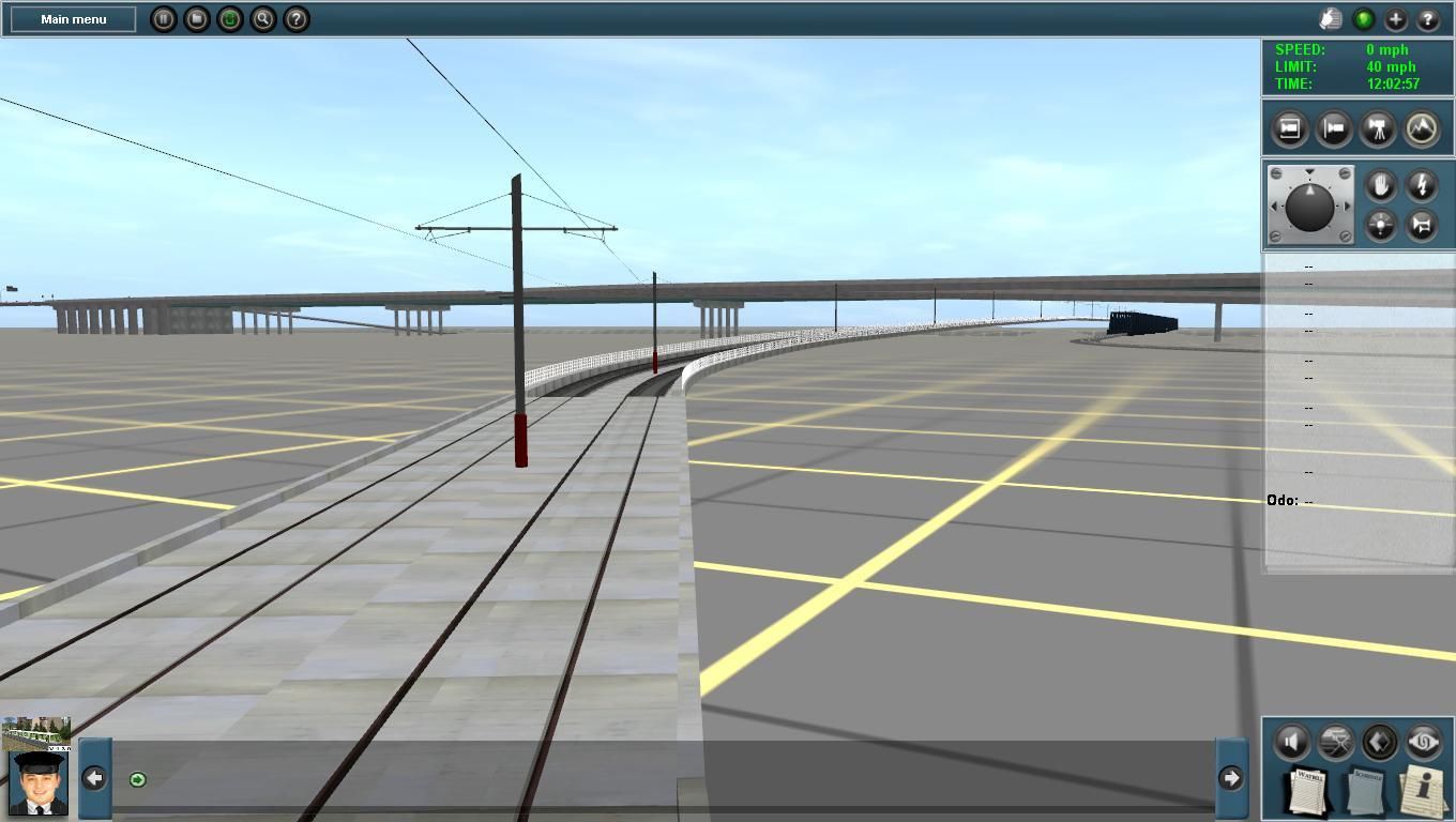
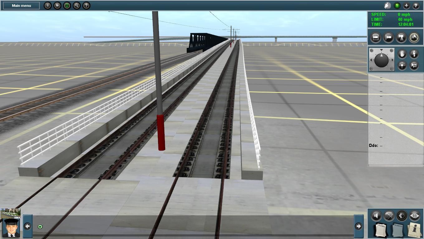
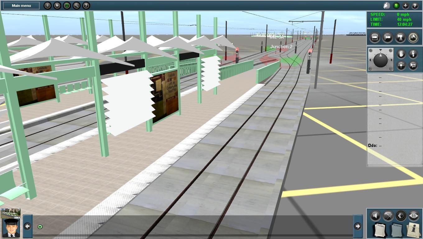
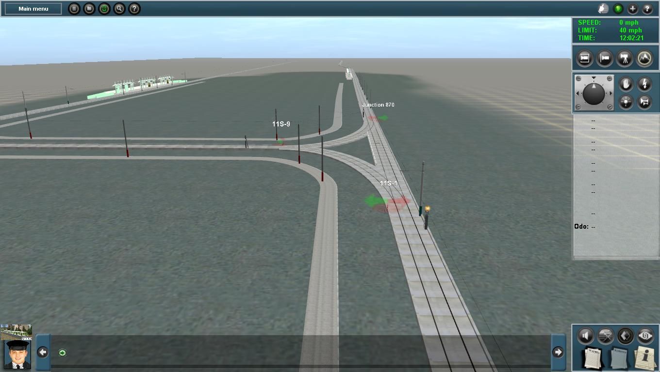
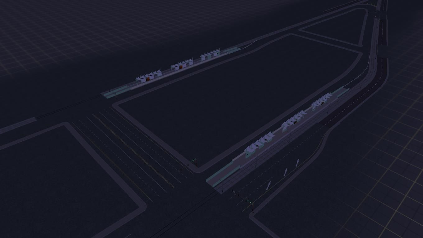
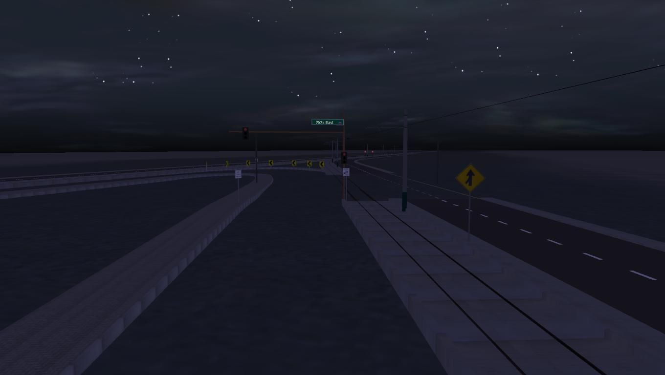
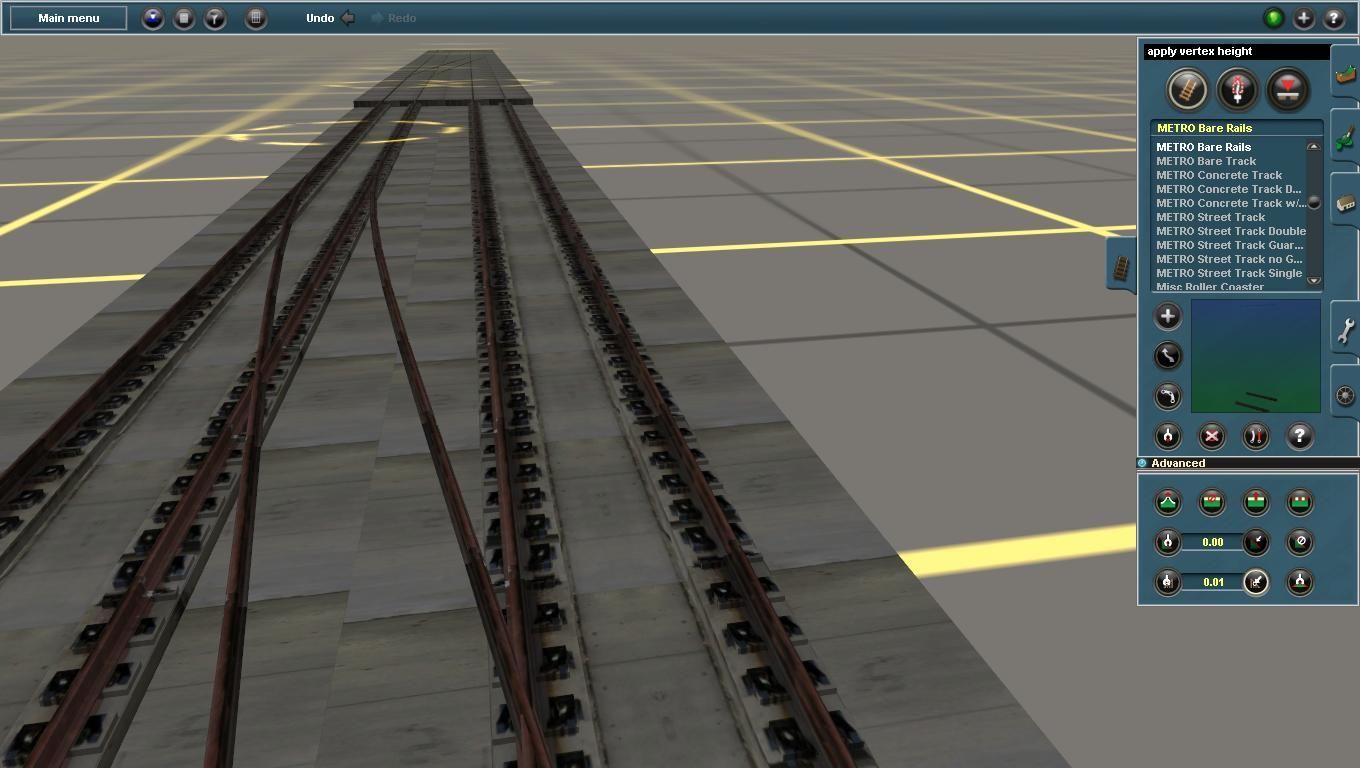
 on a side note I got the chance to follow the light rail from Mill ave. (by the macayo's [and apparently an office park made up out of old Cabooses?... Caboosi?... Caboose's...?]) (i want to try/see someone try to make the parking lot grade crossing) to the Skytram/Light rail station on the north side of Sky Harbor. and the way they designed the switch to get to the service yard is exactly how you have it. The bridge over Tempe still qualifies as the ugliest thing on the route >.> I completely spaced getting pictures of the signals for the bridge :/ Any possibility I could get some of that fine content (notably the inlaid track and ground green/red signals) some time?
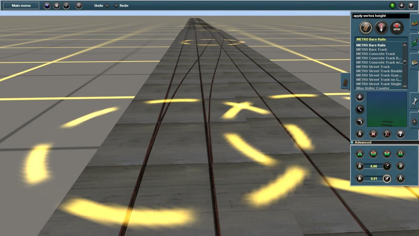
 ]
]
")