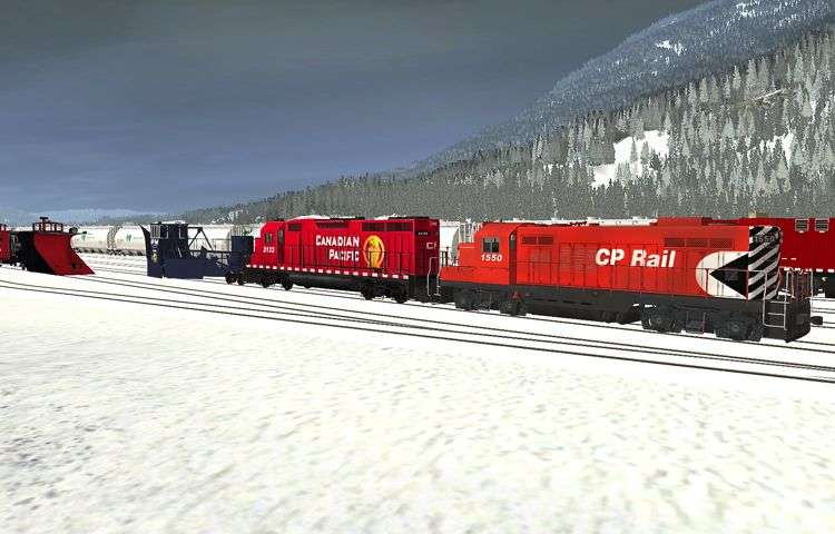
Nice shots, by the way.
Thank you. More soon.
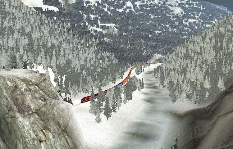
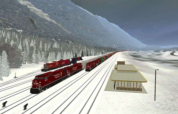
For a closer look at the 2-10-4:
http://forums.auran.com/trainz/showthread.php?t=10470&page=49
cheers,
--michael.
Follow along with the video below to see how to install our site as a web app on your home screen.
Note: This feature may not be available in some browsers.
Nice shots, by the way.
 ...
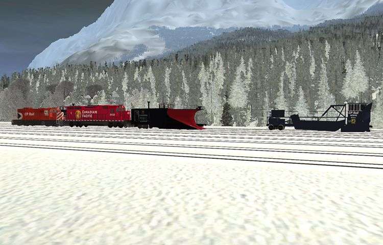
...looks amazing:clap:!!! also where did you get that jordan spreader, been looking for one of those
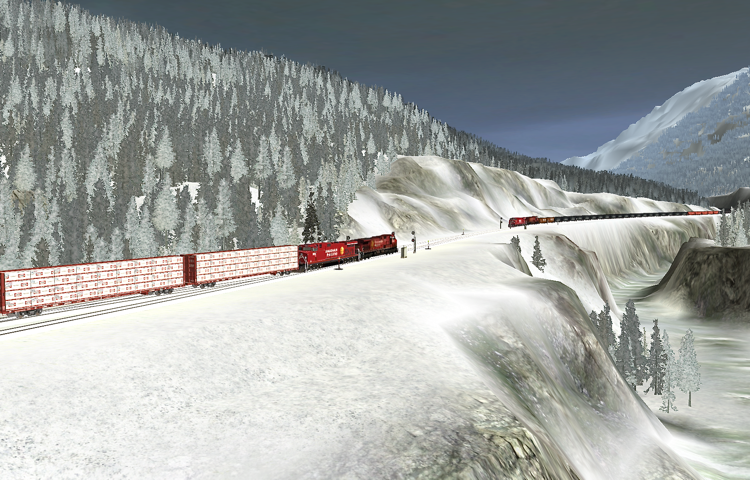
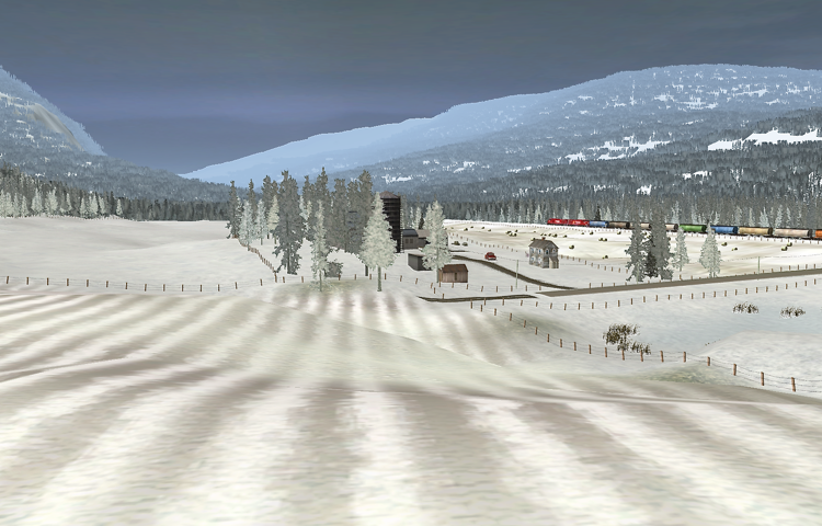
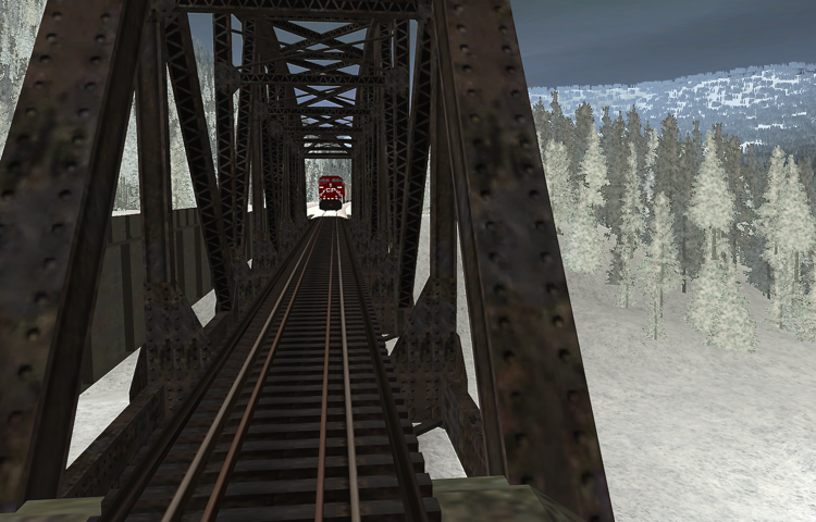
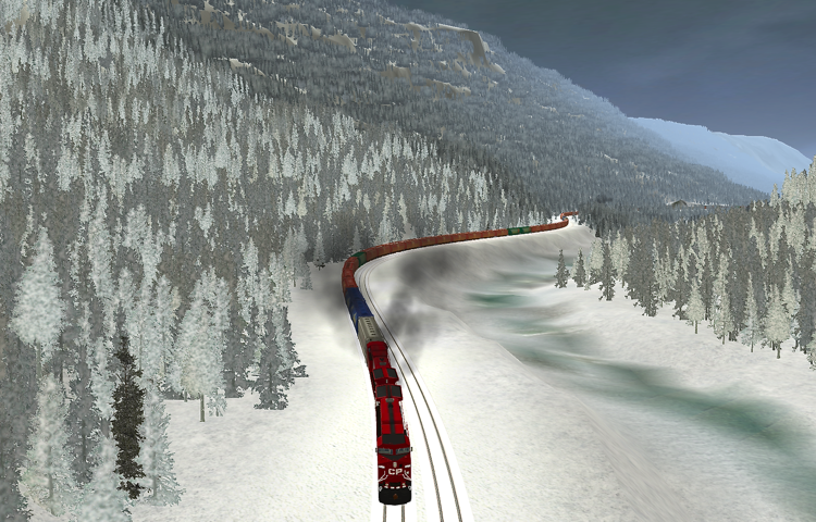
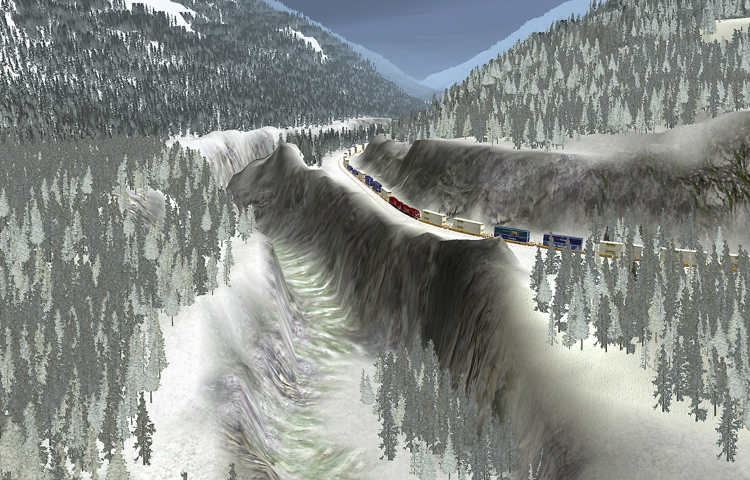
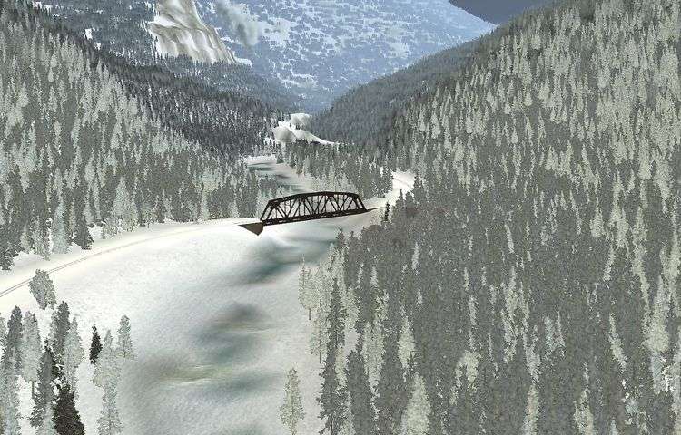
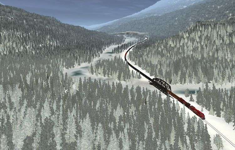
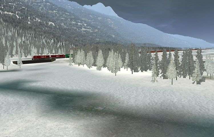
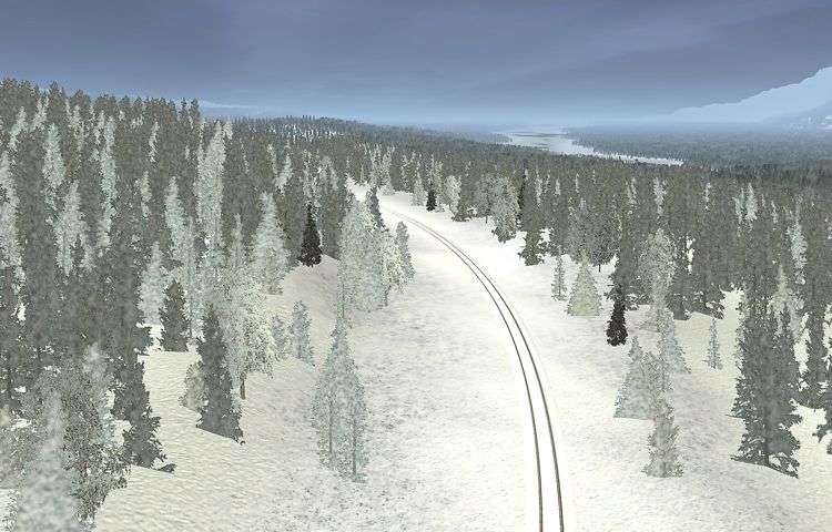
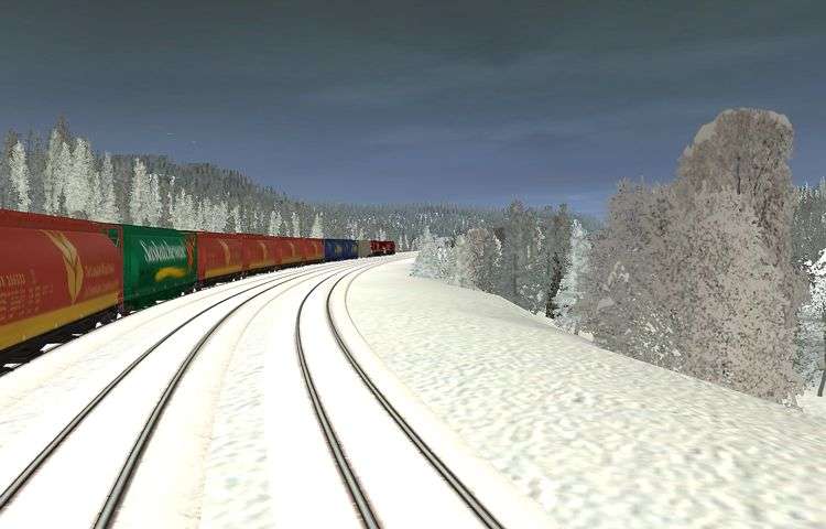
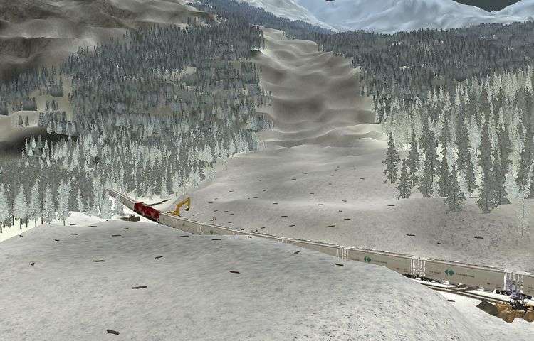
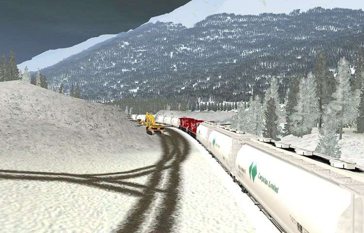
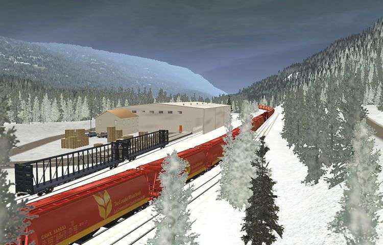
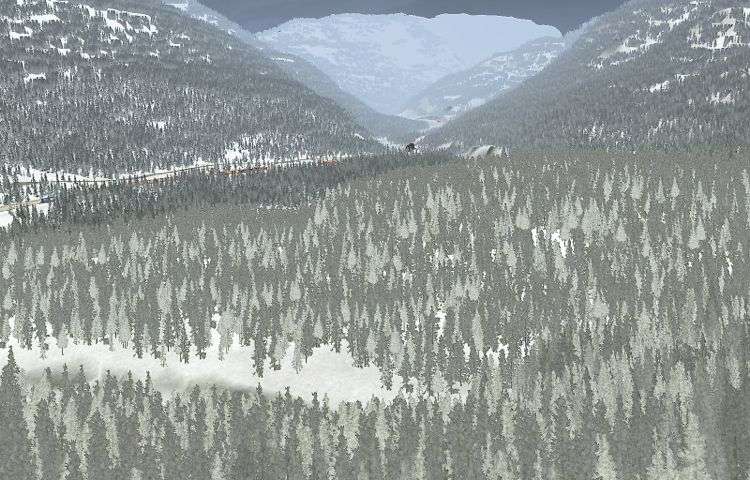
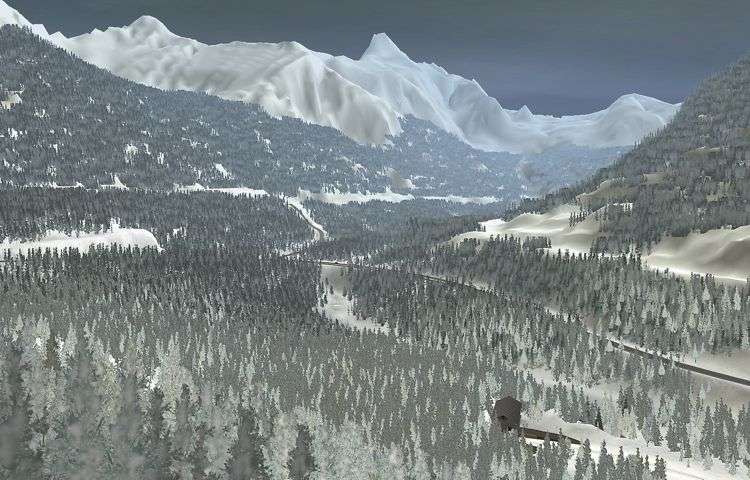
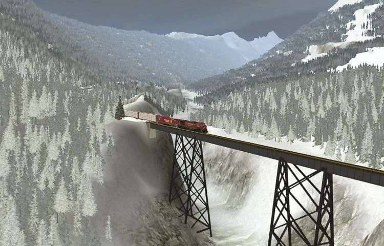
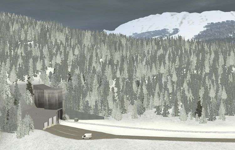
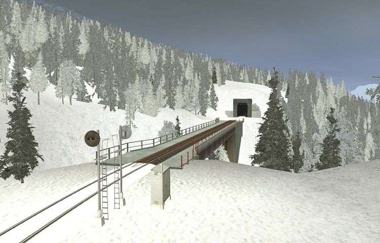
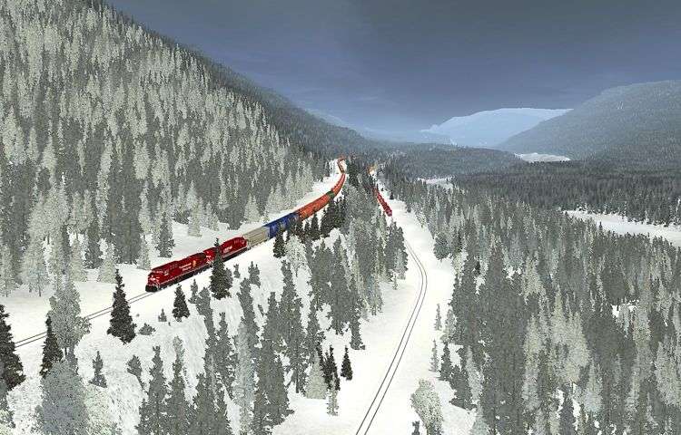
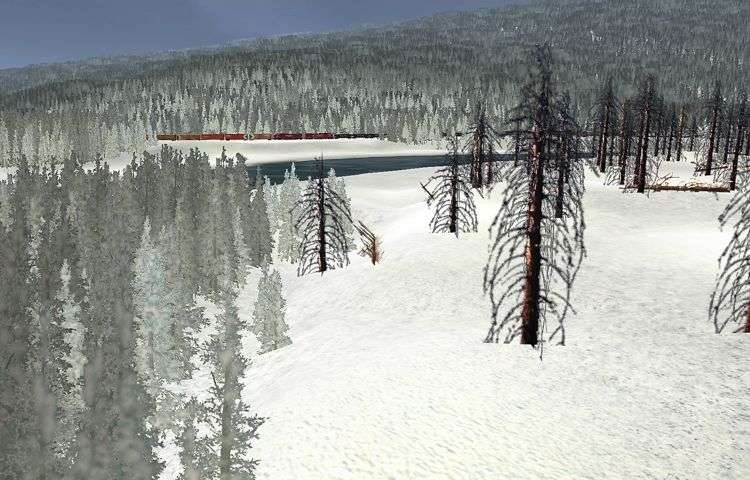
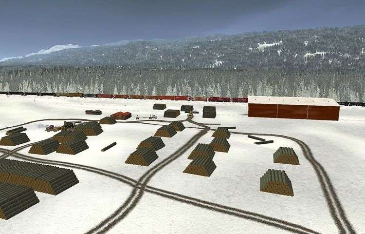
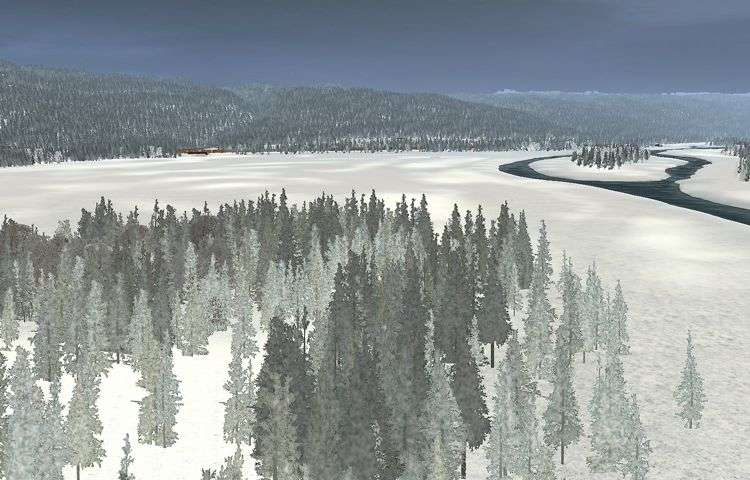
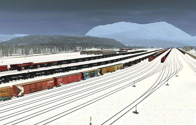
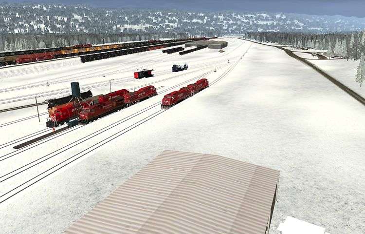
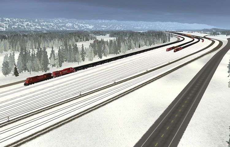
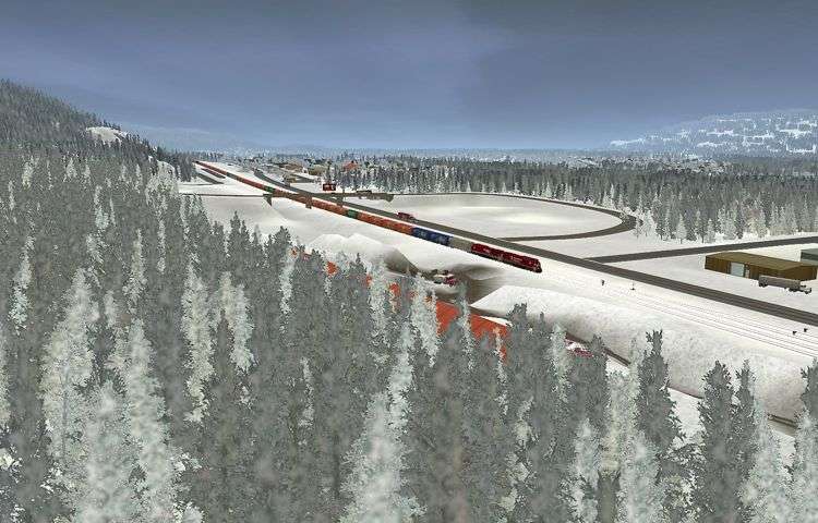
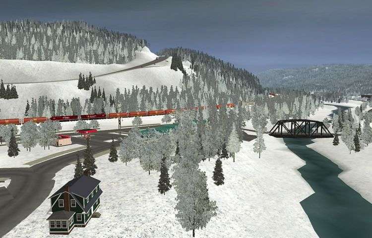
All I can say is that I am amazed at the countless hours you put in to have such a lengthy route but more than that we can feel the height of the Rockies and the wilderness of the area as we are driving along.
Thanks for sharing such a work!
That 2-10-4 is from Paulz Trainz
I know this was posted in 2011, but if that's the case, then why isn't it available?
froobie: Nice shots by the way.
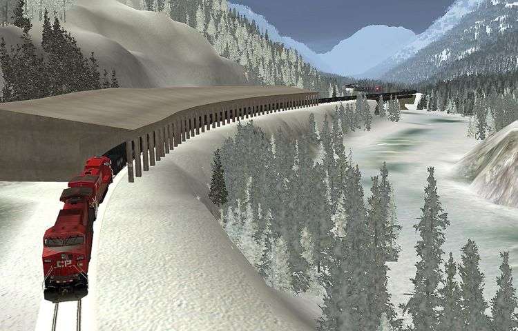
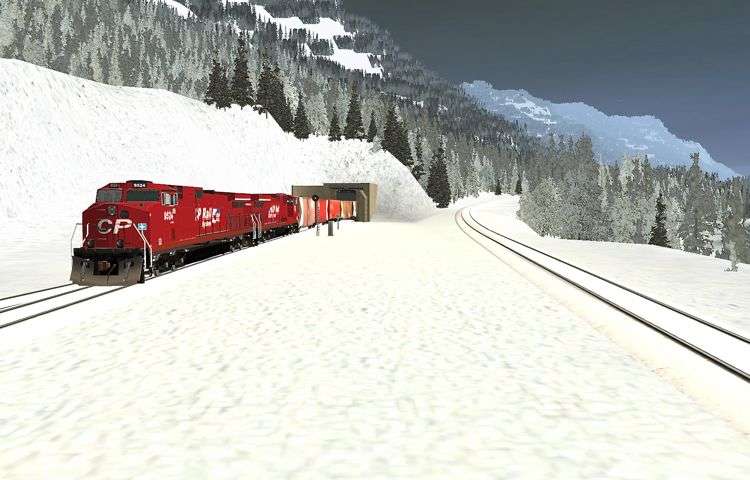

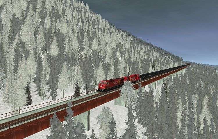

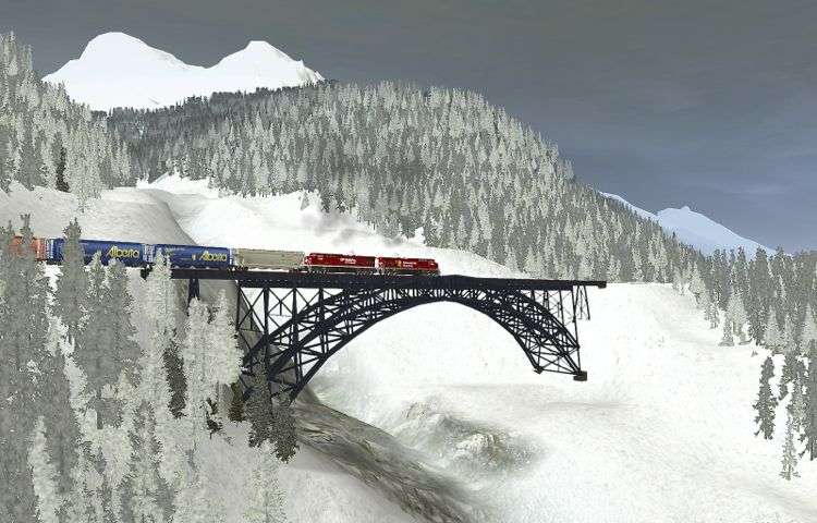
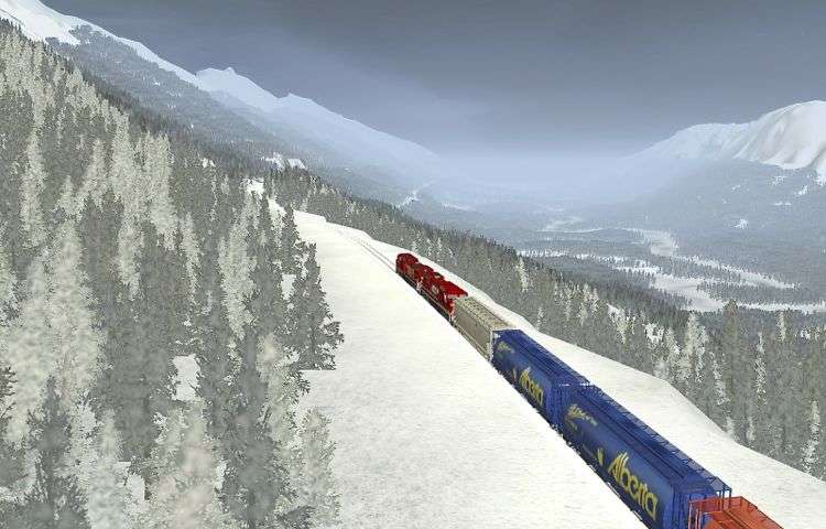

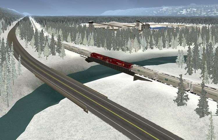
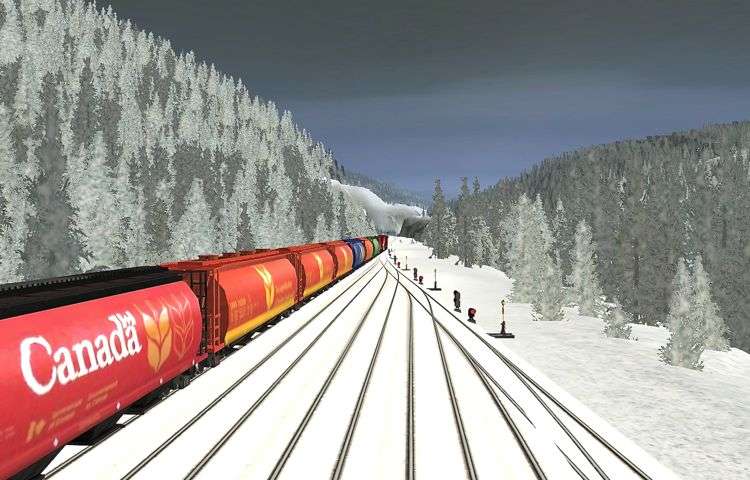
That 2-10-4 is from Paulz Trainz