Now that things have started to settle down with TS2009, I decided to restart my Betuweroute. Rather than trying to adapt the 2004 version, I thought it would be easier to start anew. Model building has changed a lot since the first version was started so I will probably also make new versions of the many specific objects needed for the route. This also means that this will be a long term project as I tend to get sidelined every time a new objected is needed so don't hold your breath waiting for it to be finished. Not complaining since creating is the the fun of Trainz. 
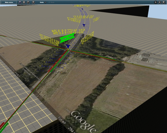
An overview of the route, thanks to Google Earth (GE).
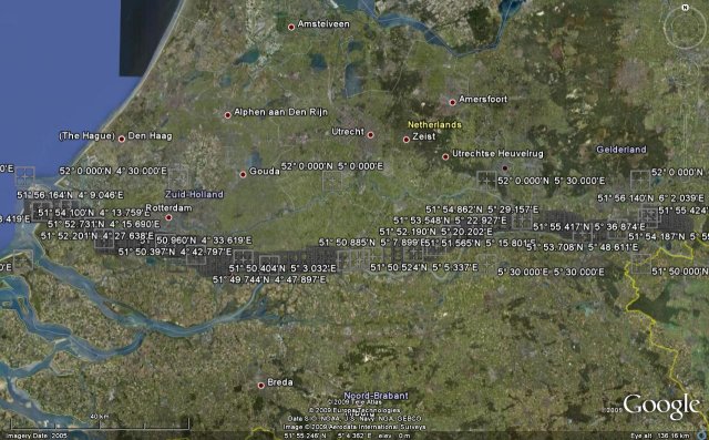
First I went over the route and put placemarkers at interesting locations. Each one was named with its latitude and longitude value.
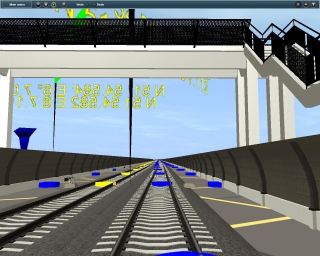
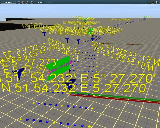
Inside Trainz, once the World Origin was set, I used my Lat-Long Readers to duplicate the locations of the placemarkers in GE. The approximate ROW of the main track has been located using a temporary spline of blue and yellow dots.
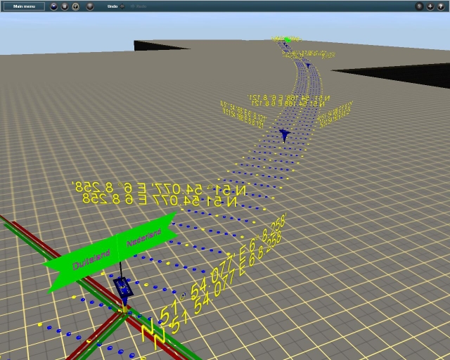
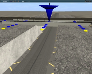
Looking west from the German border
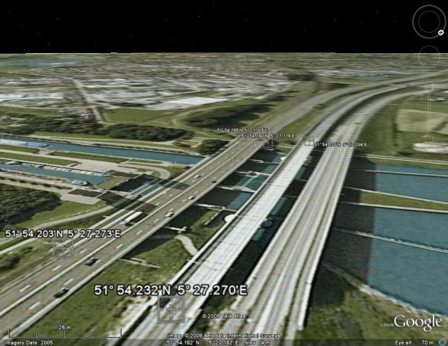
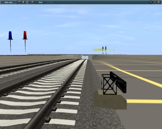
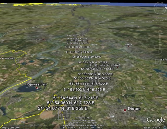
Where the route crosses the Amsterdam-Rijn kanaal
Next, rivers and canals will be added. Using detailed screen shots from GE placed under the grid, I will then locate important landmarks and more precisely place the main tracks. In this version, I will be trying to limit the amount of distant landscaping. Looking back at the 2004 version, I noticed that I would sometimes (often) create whole neighbourhoods far from the mainline in places that would not be seen from the train. Great from a creative point of view, bad from a performance and time point of view.
An overview of the route, thanks to Google Earth (GE).
First I went over the route and put placemarkers at interesting locations. Each one was named with its latitude and longitude value.
Inside Trainz, once the World Origin was set, I used my Lat-Long Readers to duplicate the locations of the placemarkers in GE. The approximate ROW of the main track has been located using a temporary spline of blue and yellow dots.
Looking west from the German border
Where the route crosses the Amsterdam-Rijn kanaal
Next, rivers and canals will be added. Using detailed screen shots from GE placed under the grid, I will then locate important landmarks and more precisely place the main tracks. In this version, I will be trying to limit the amount of distant landscaping. Looking back at the 2004 version, I noticed that I would sometimes (often) create whole neighbourhoods far from the mainline in places that would not be seen from the train. Great from a creative point of view, bad from a performance and time point of view.