Mr. Bob,
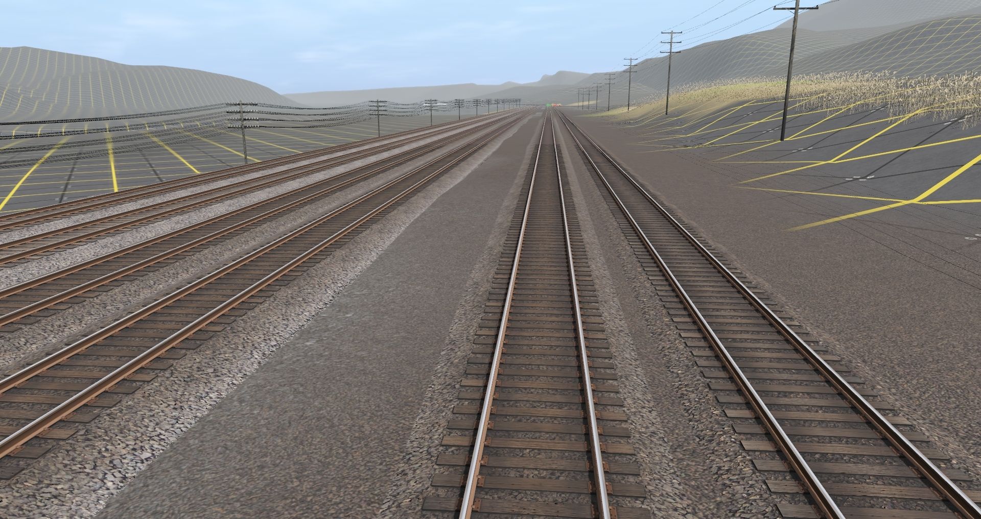
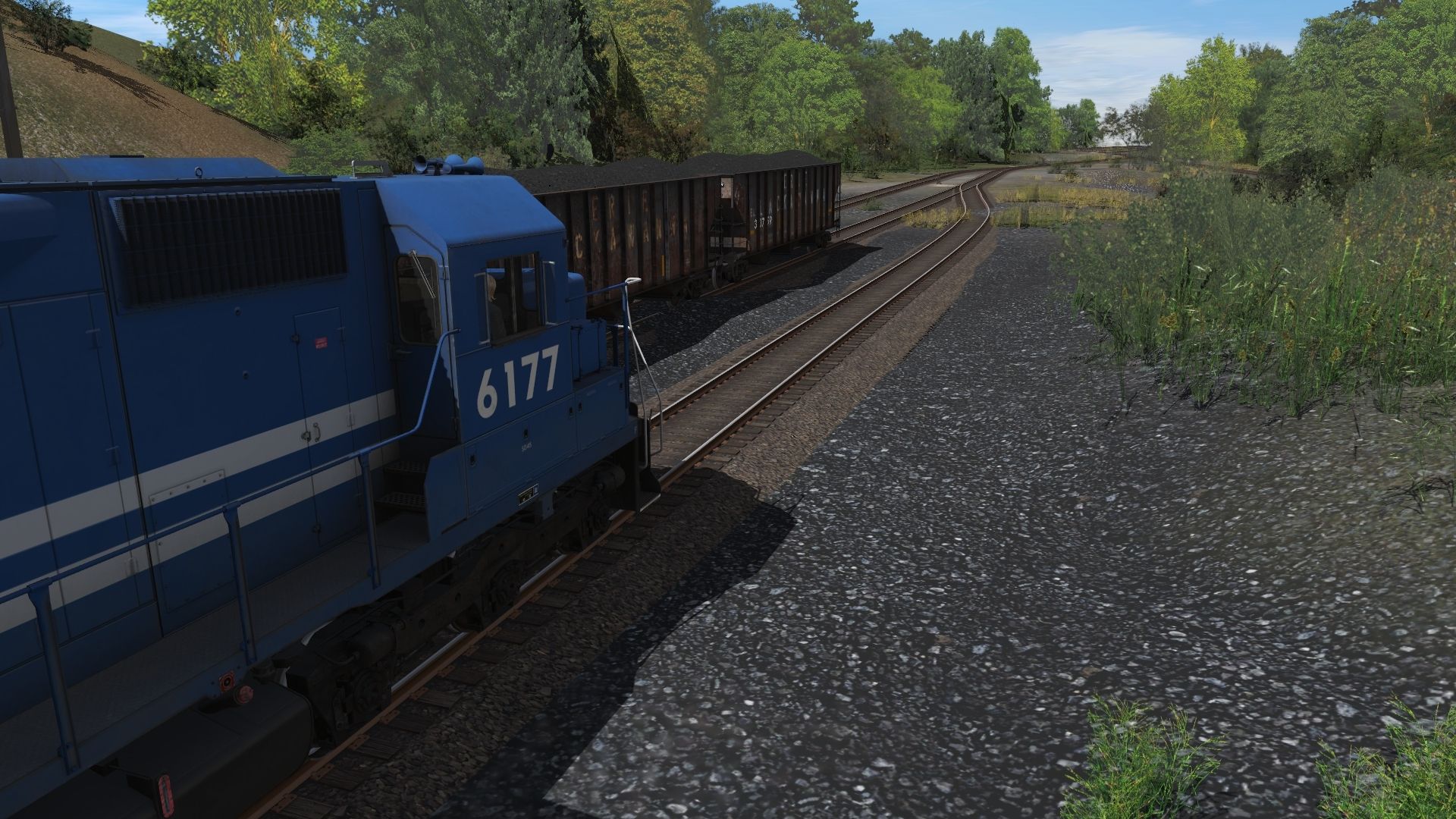
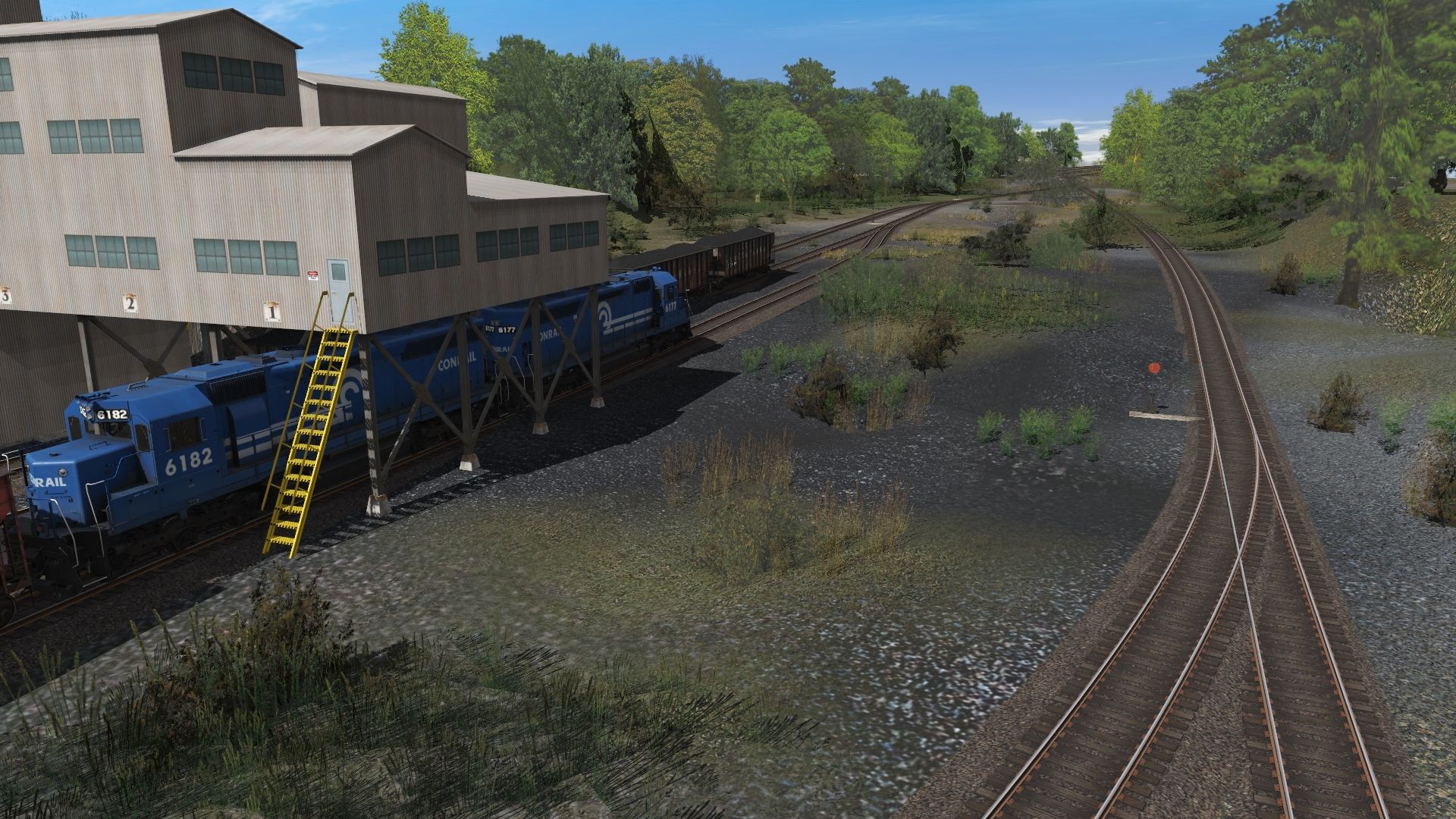
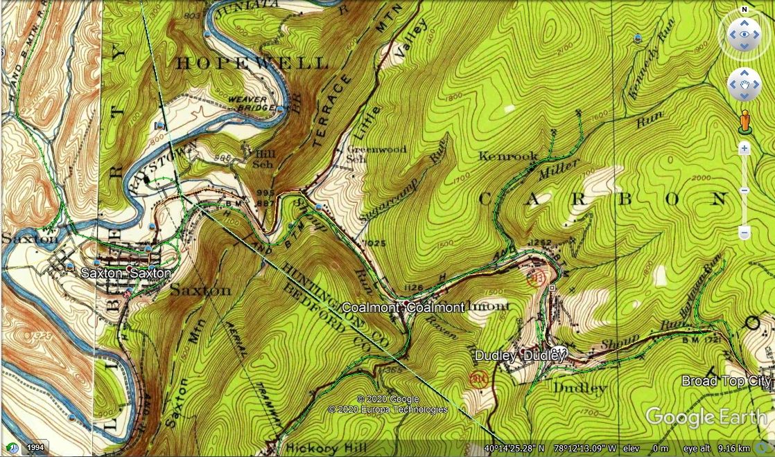
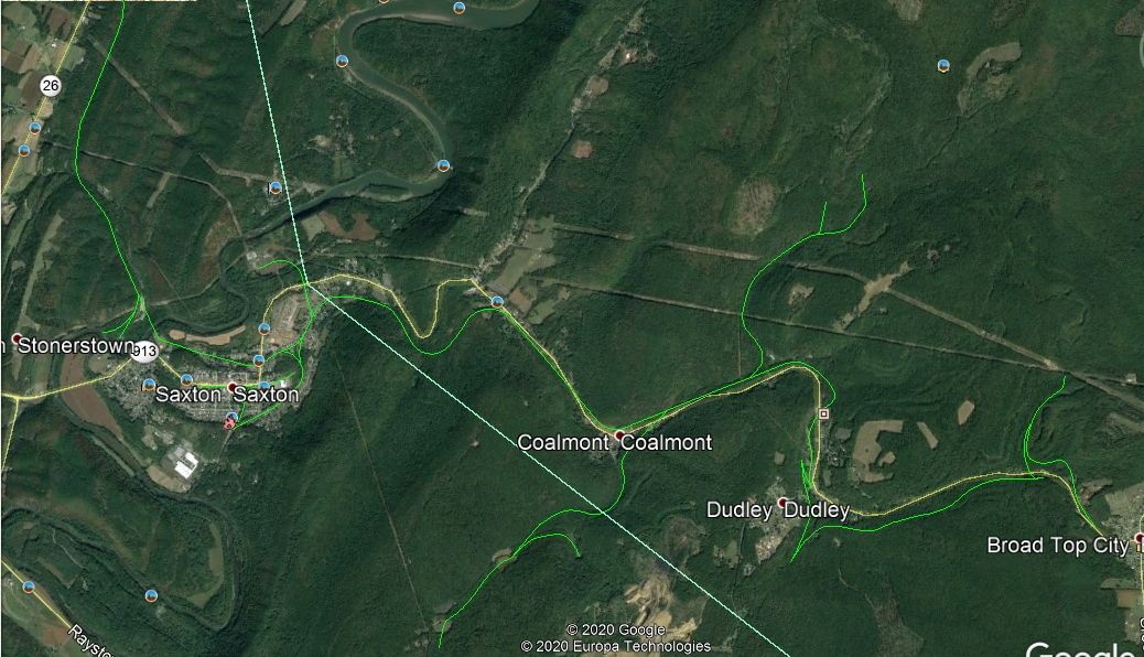
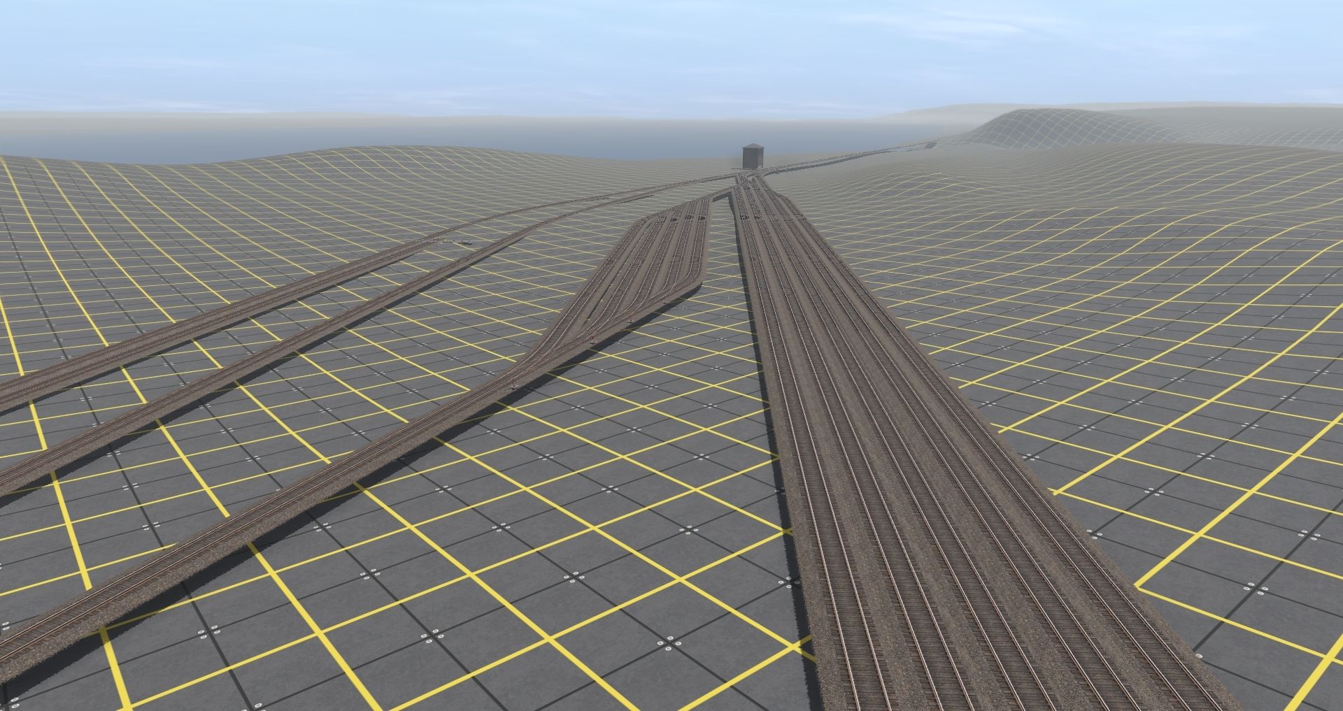
Yes sir. Google Earth is very handy, I used it to fill in the gaps for the Bedford Division, the New Portage Branch, and the Hollidaysburg and Petersburg Branch; Altoona Northern (Wopsy); Bellwood Branch; and, Tipton Railroad. I have the lines done for the Tyrone & Clearfield Branch done, but I am going to do one update with the PRR lines. There is still the Tyrone & Lewisburg Branch. As I was doing some research on the Moshannon Valley, there is also the New York Central; Pittsburgh and Susquehanna (locally known as the "Alley Popper"); Pennsylvania & North Western; and in Curwensville, the Baltimore & Ohio. It is very tempting to add to the map from Huntingdon toward Harrisburg to pick-up the EBT. Kind of foaming about K&L Trainz future release

I have to go find the information again on how to make USGS NED using GIS GRASS to import into MICRODEM.
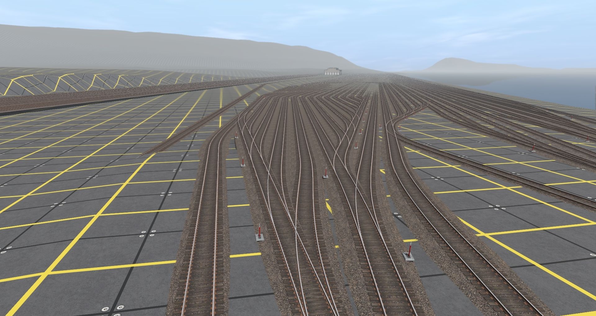
I saw also on my DEM that I have the B&O branch into Johnstown with the line running from Cumberland via Sandpatch, and about 5 miles is missing, and if I add that, it'll probably take me all the way to Pittsburgh. If I add the east part to get to Harrisburg, might as well finish the Bald Eagle Branch to Lock Haven, with the Bellefonte Central, and the Snow Shoe Branch. I think my like of belpaire boilers running through valleys and over mountains might get me long-term issues.:hehe: Skimmed through some pages of
Branch Line Empires and it is unreal the amount of coal that was shipped down over Sandy Ridge Mountain.
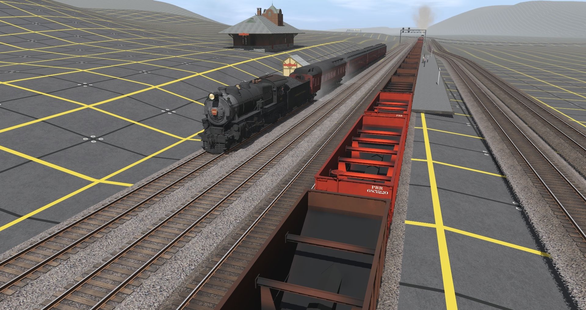
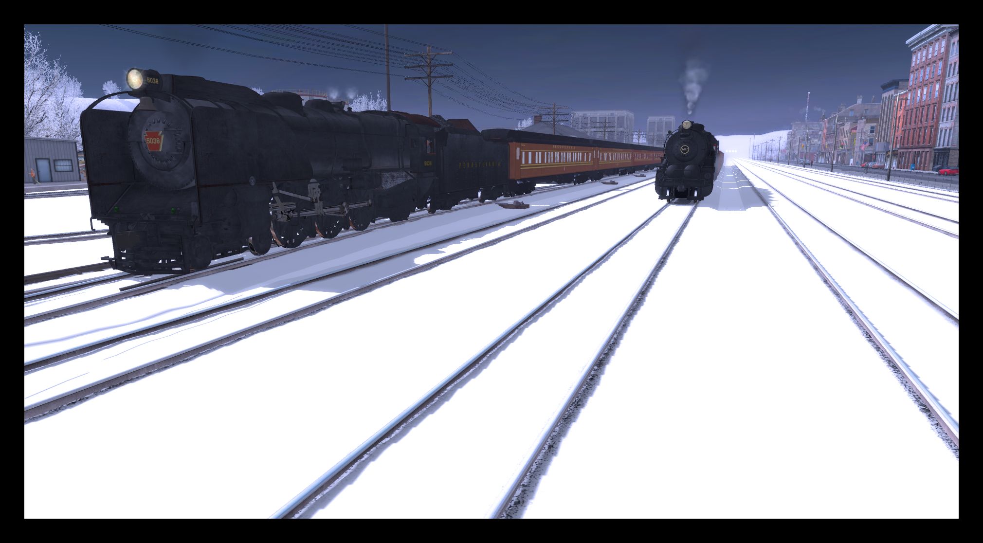
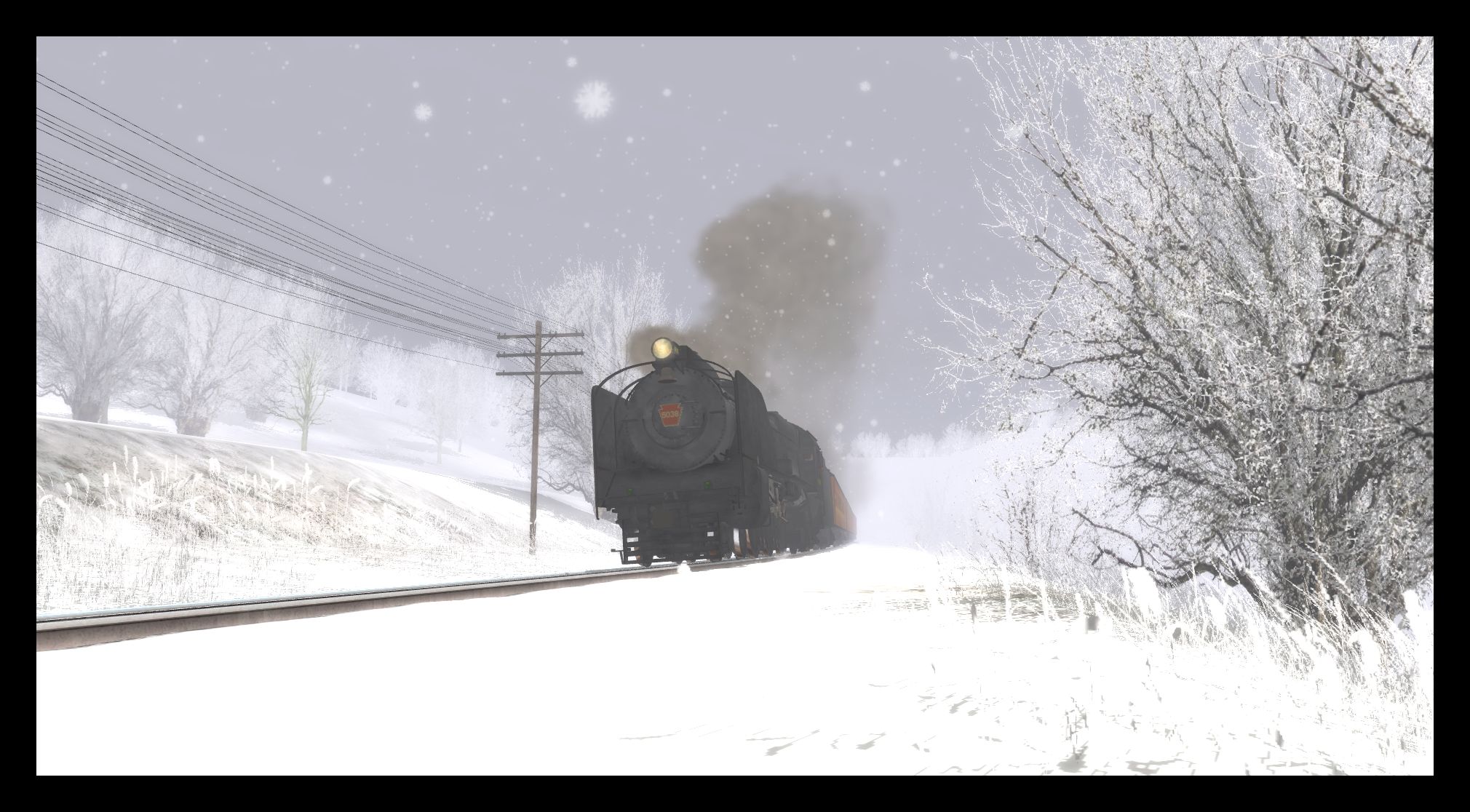
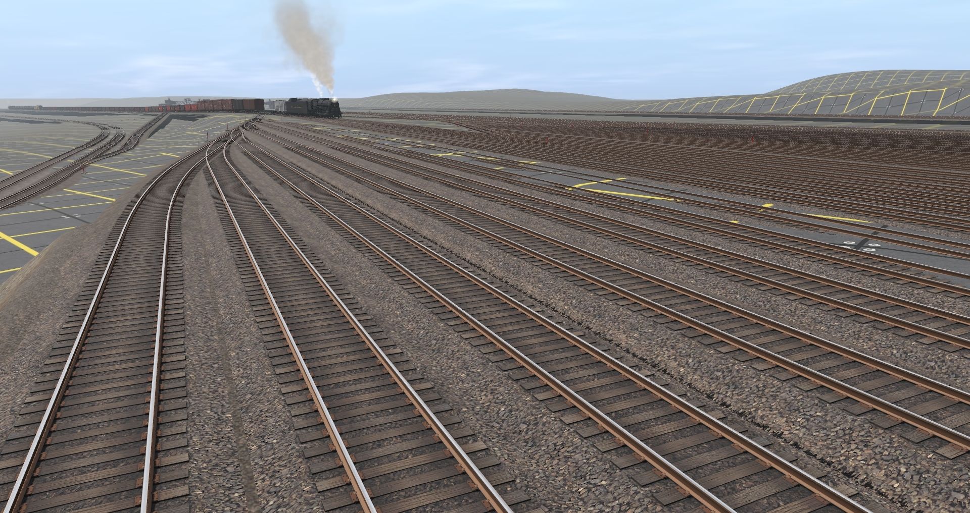
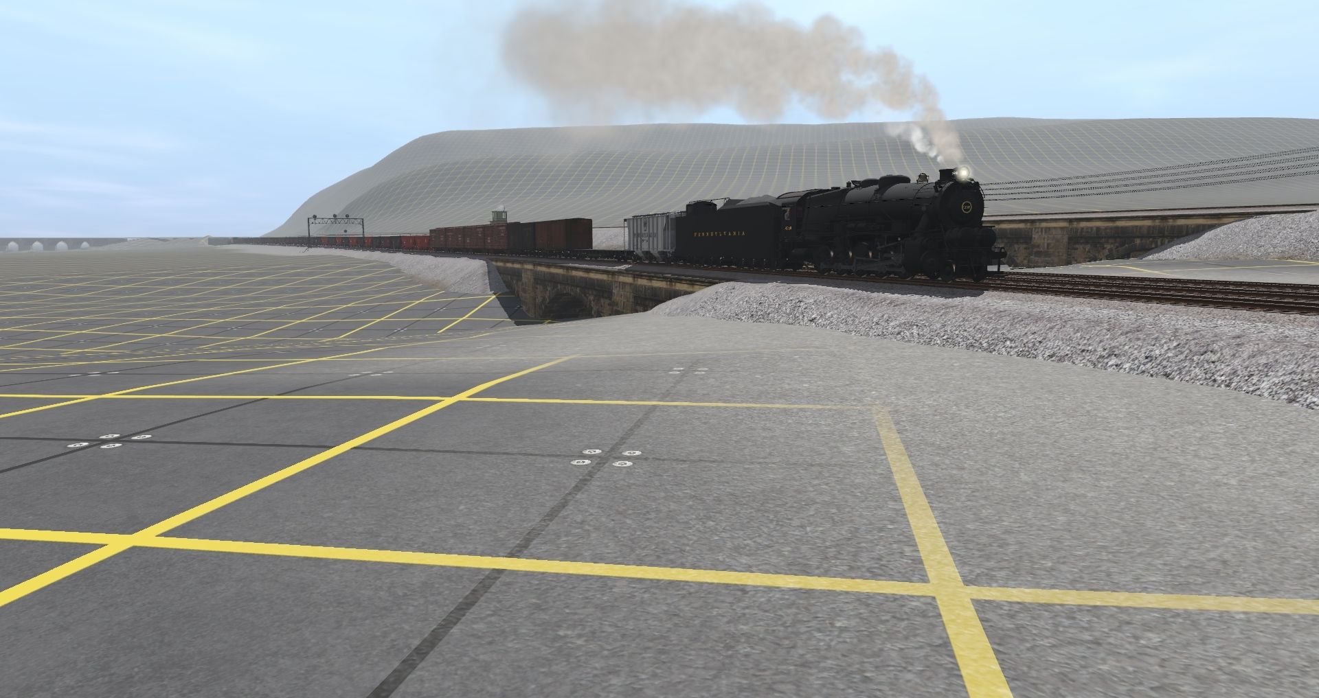
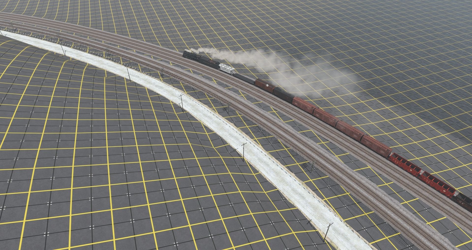
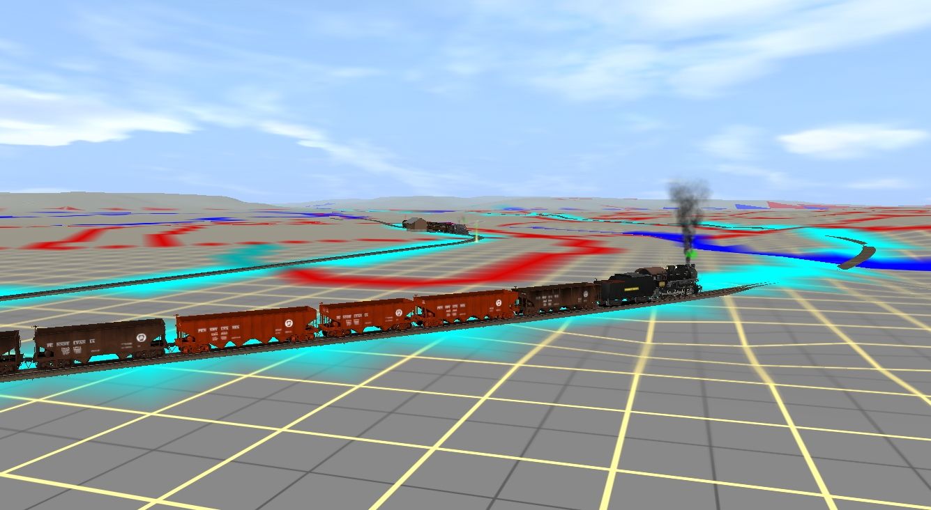
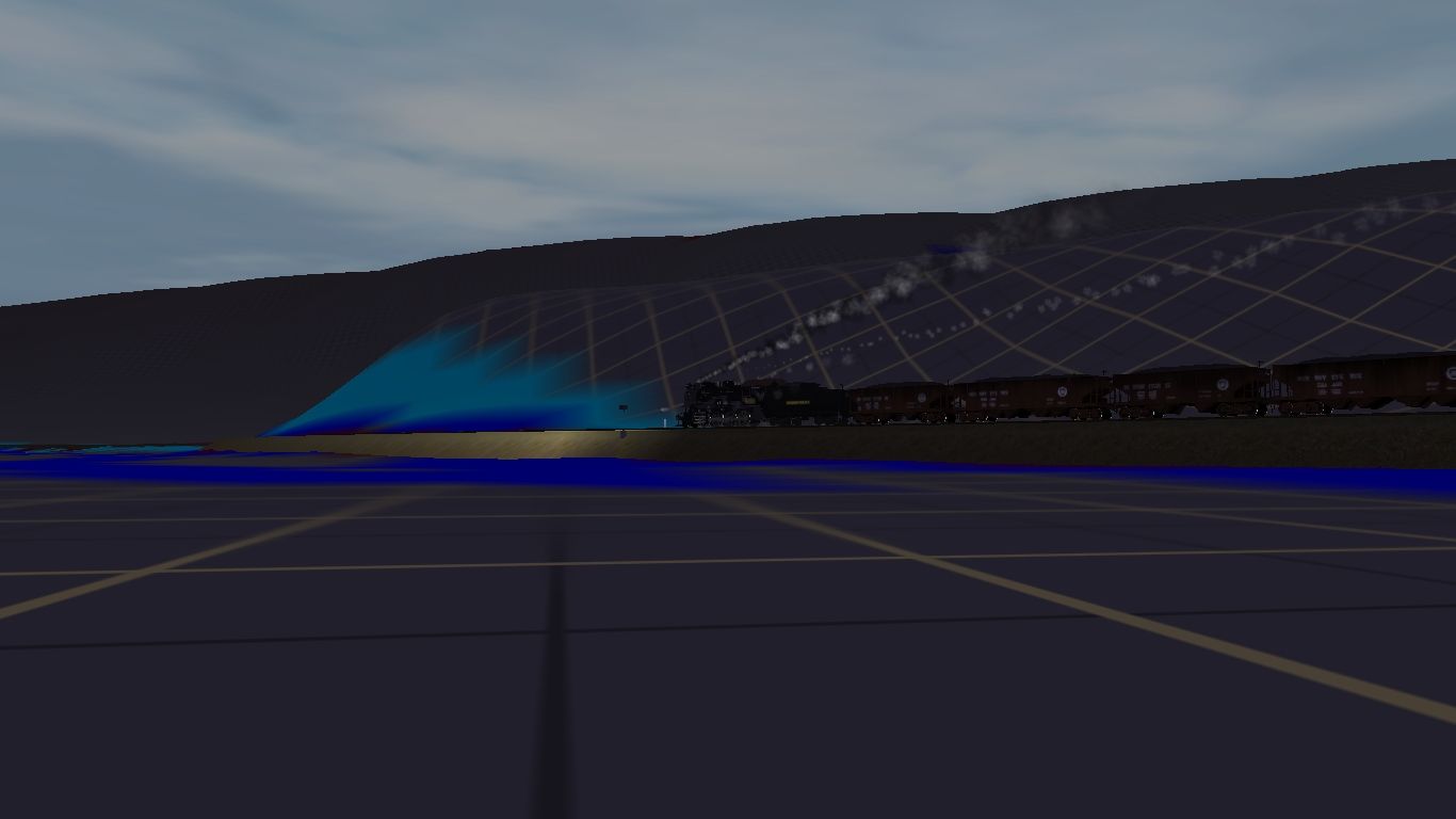
A PRR H9 heading into Philipsburg on its way to the mines toward Clearfield, PA. At the Philipsburg (Chester Hill) Depot, a Pittsburgh and Susquehanna passenger train is preparing to depart and head west through the Moshannon Valley making stops at Osceola Mills and Houtzdale and other villages along the way.