Install the app
How to install the app on iOS
Follow along with the video below to see how to install our site as a web app on your home screen.
Note: This feature may not be available in some browsers.
You are using an out of date browser. It may not display this or other websites correctly.
You should upgrade or use an alternative browser.
You should upgrade or use an alternative browser.
PRR Screenshots
- Thread starter cascaderailroad
- Start date
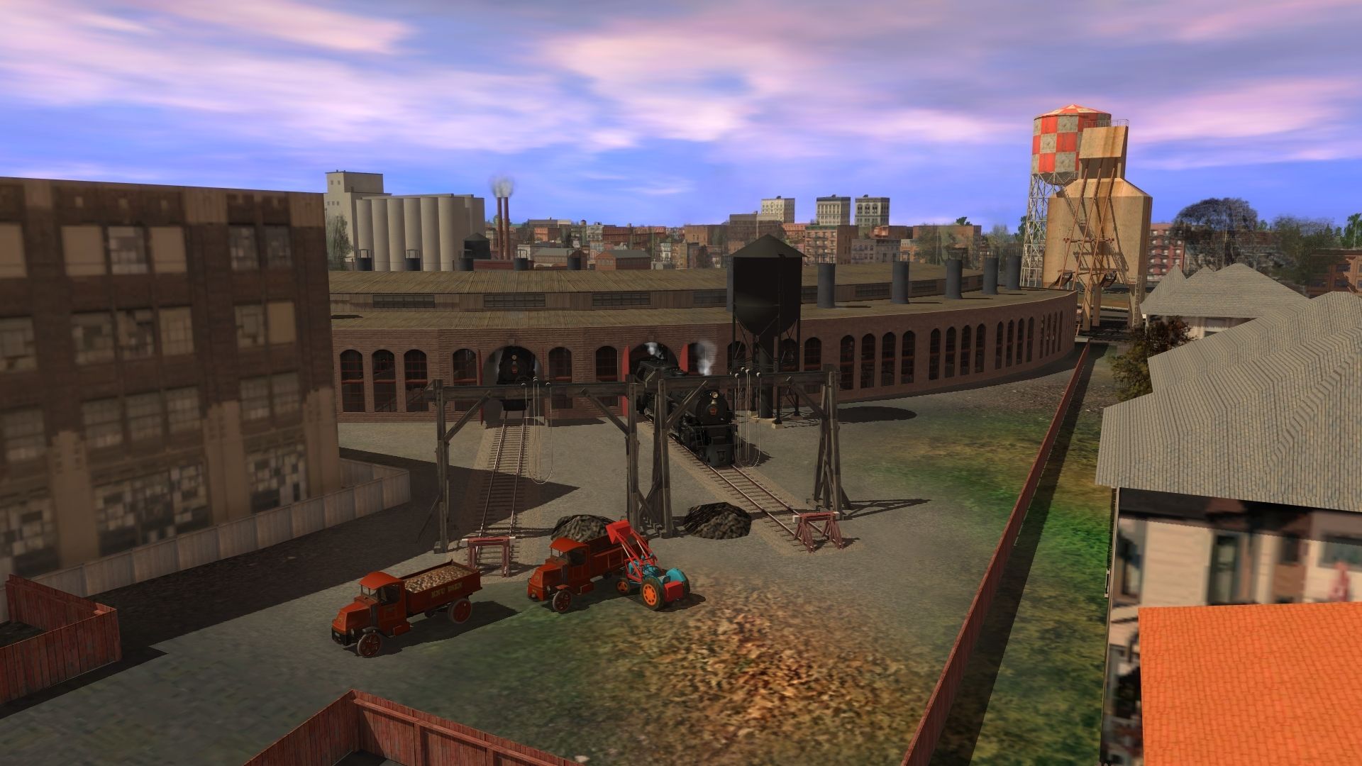
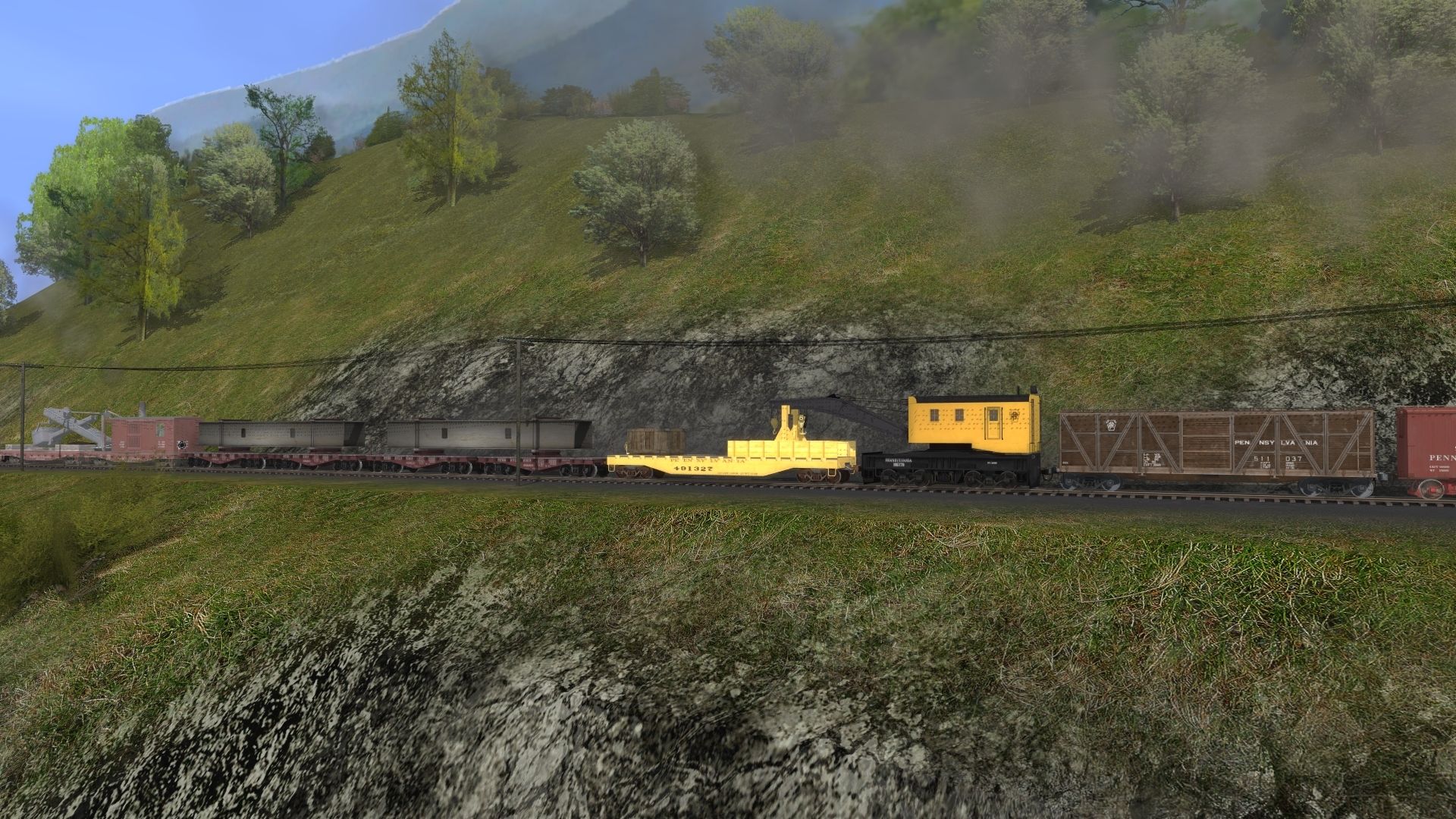
RE Post #1961. Nice shot Norm! What was the hoist at the end of the track used for ? I mean if this is moving that could be used for many things but if fixed, I have no idea.
Rail4Pete
Just a fantasy, I rather thought they might be used as part of cleaning out the smokebox and/or boiler.
Railwoodman
Well-known member
Railwoodman
Well-known member
Whitepass kuid2:58422:100418:4>, and JR's Payware https://jointedrail.com/product/ge-u25c-prr-ph3a/ . Both are fantastic .
Matt
Matt
Railwoodman
Well-known member
Happy Father day all . I just couldn't let this thread go without an update of something . I'm without a working PC . [ SUCKS ] But that's an easy fix . Recovering from surgery hasn't . Anyways I hope to up and back working on all my routs soon .
Again Happy Fathers Day
Matt
Again Happy Fathers Day
Matt
Heinrich505
Active member
Railwoodman,
Happy Fathers Day back at you!
Sorry to hear about having surgery. I hope the recovery is going well.
Great shots, as usual. Rest up and get well.
Heinrich505
Happy Fathers Day back at you!
Sorry to hear about having surgery. I hope the recovery is going well.
Great shots, as usual. Rest up and get well.
Heinrich505
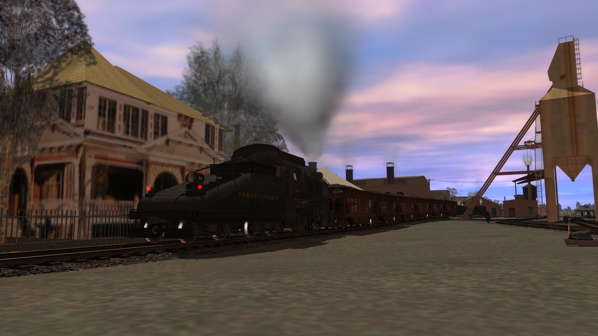
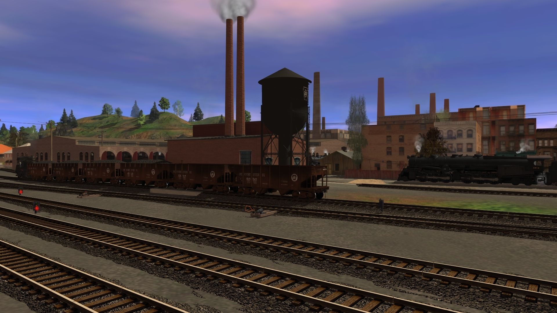
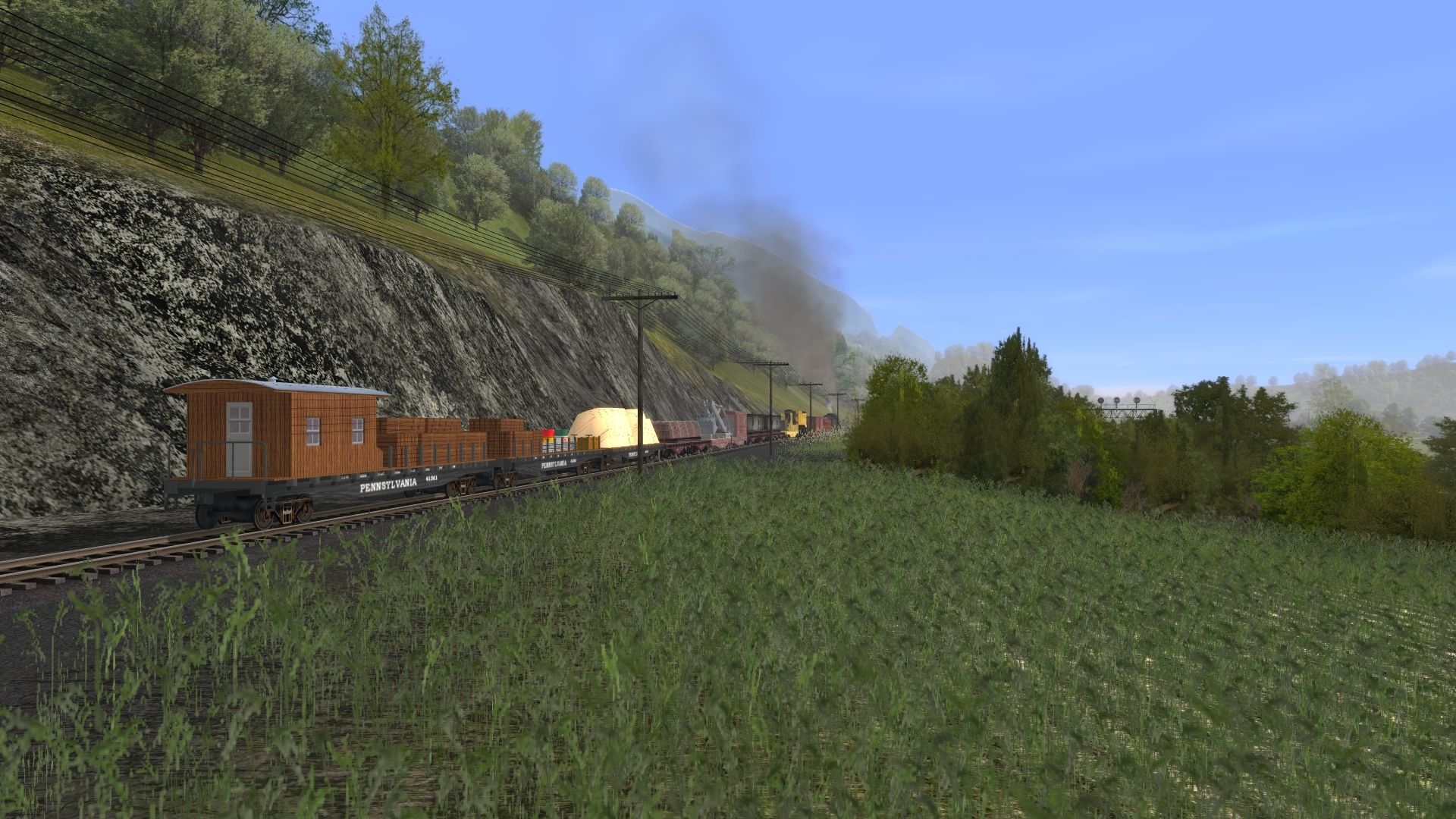
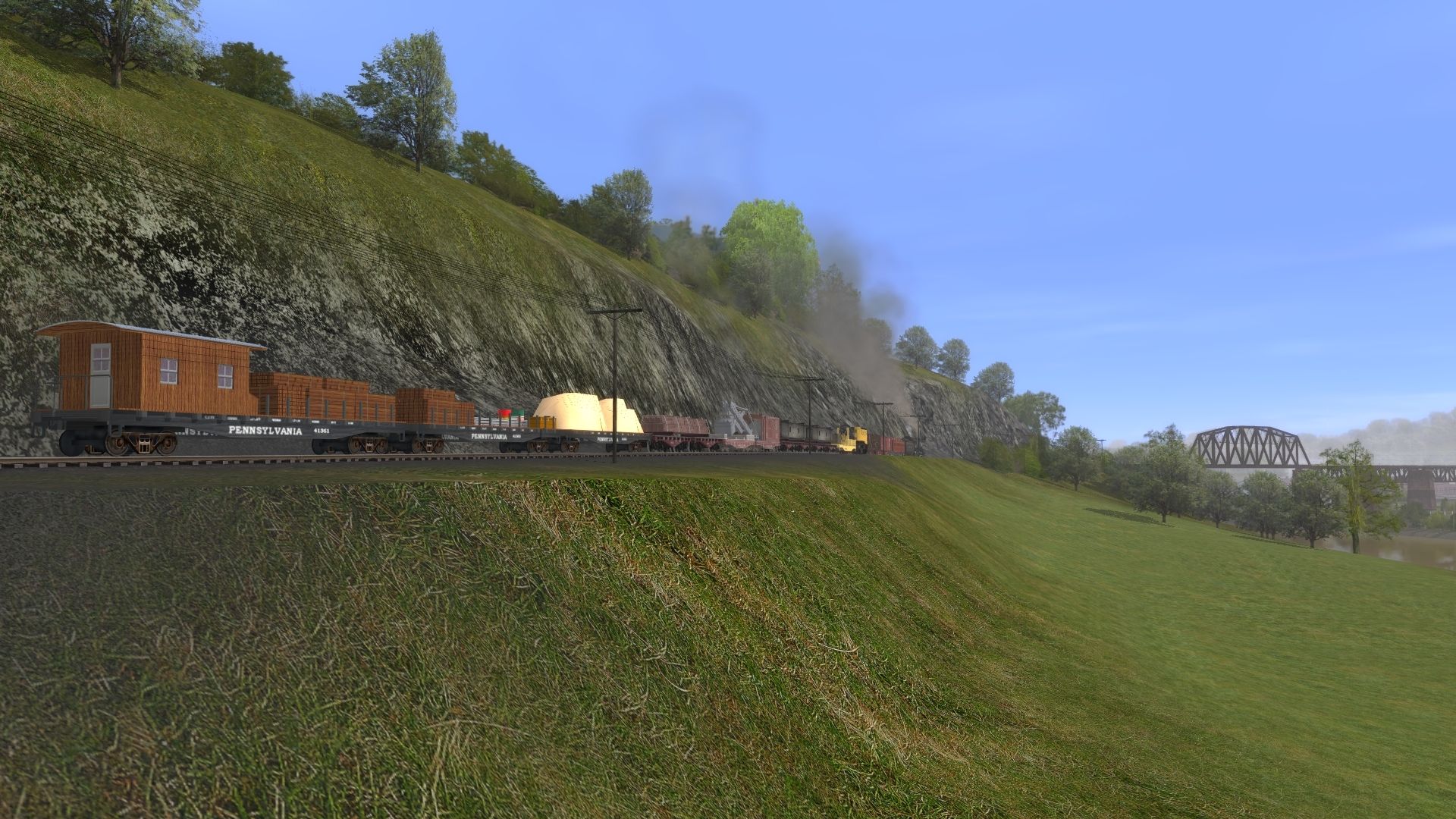
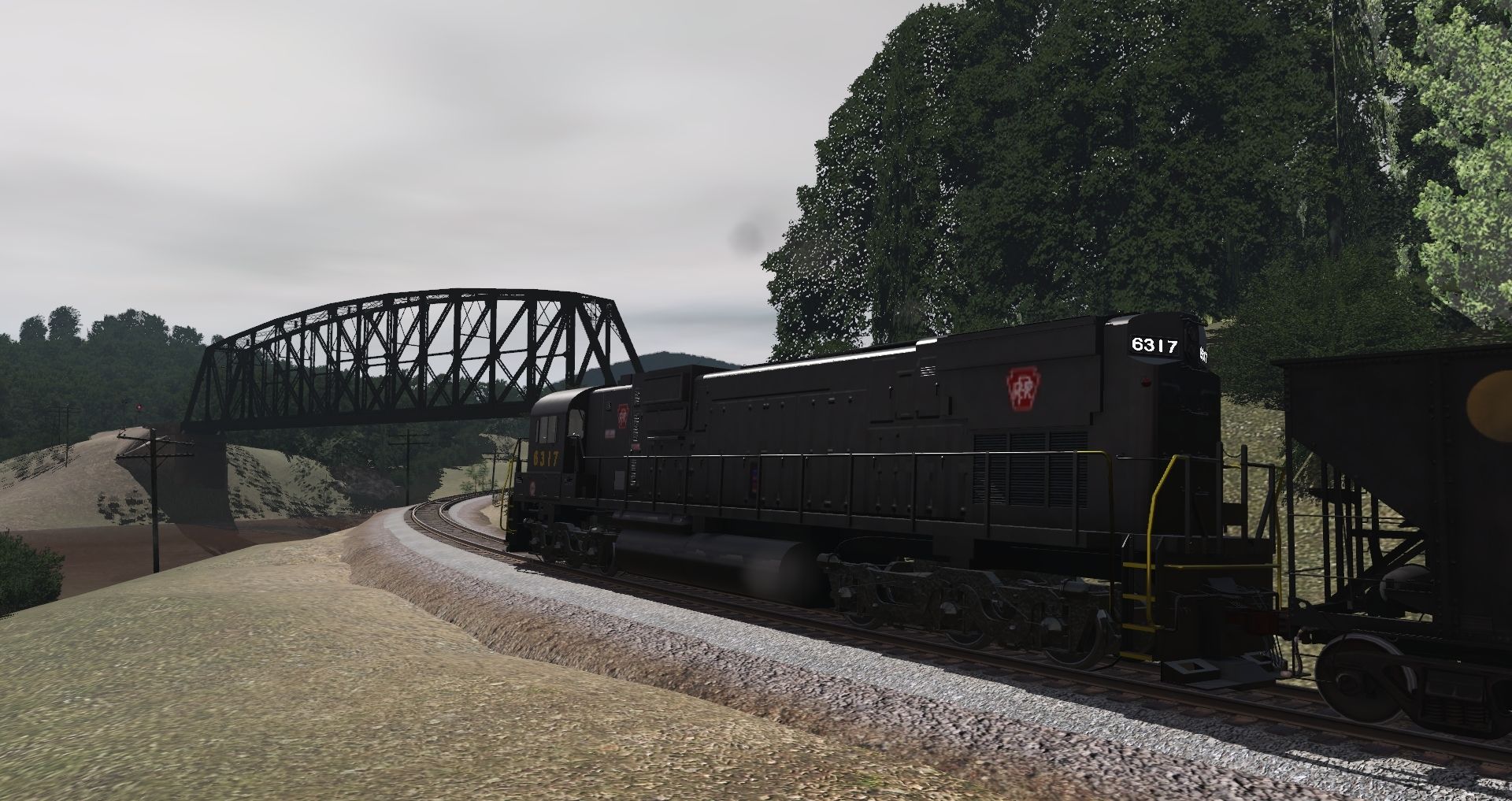
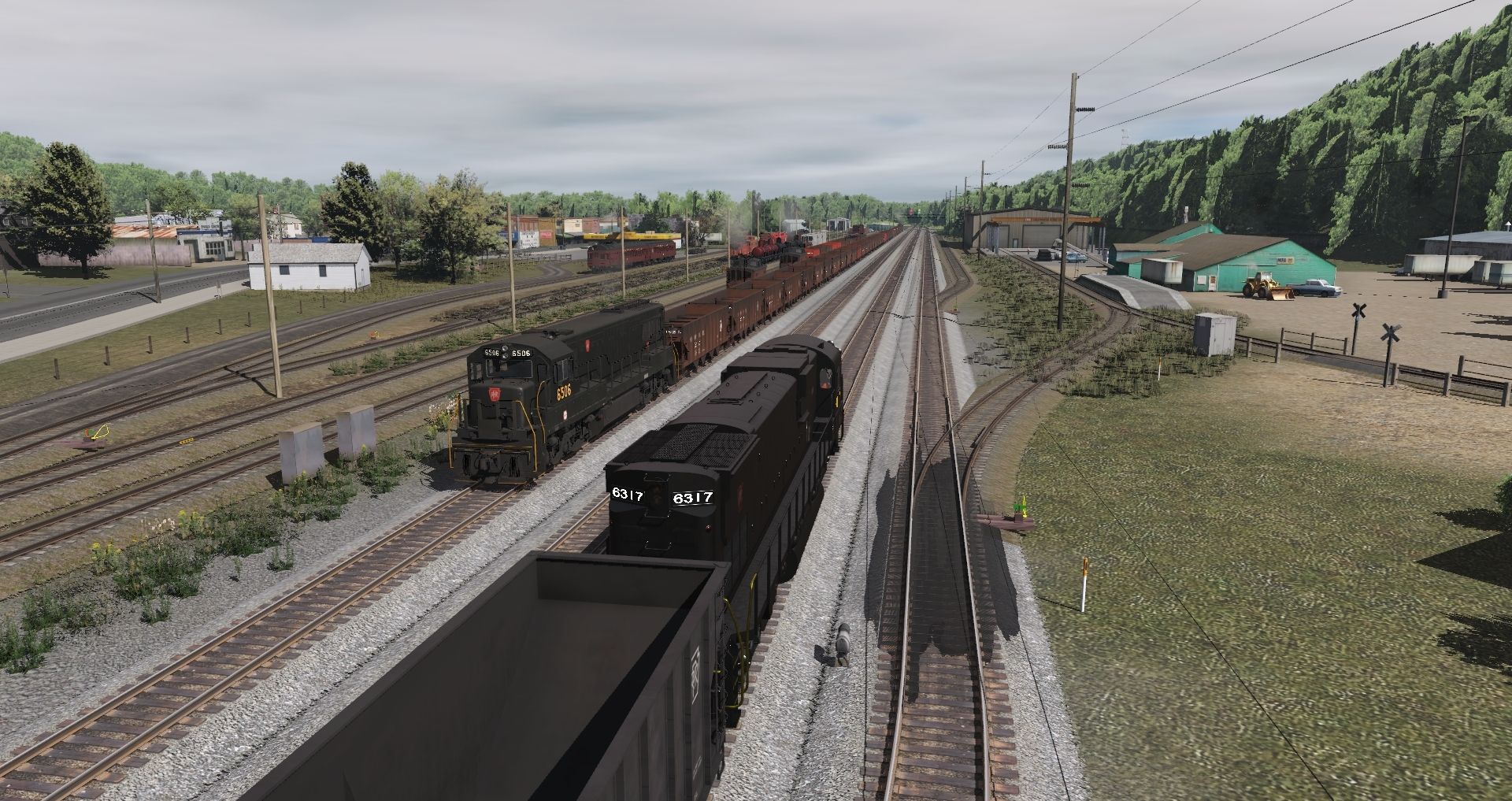
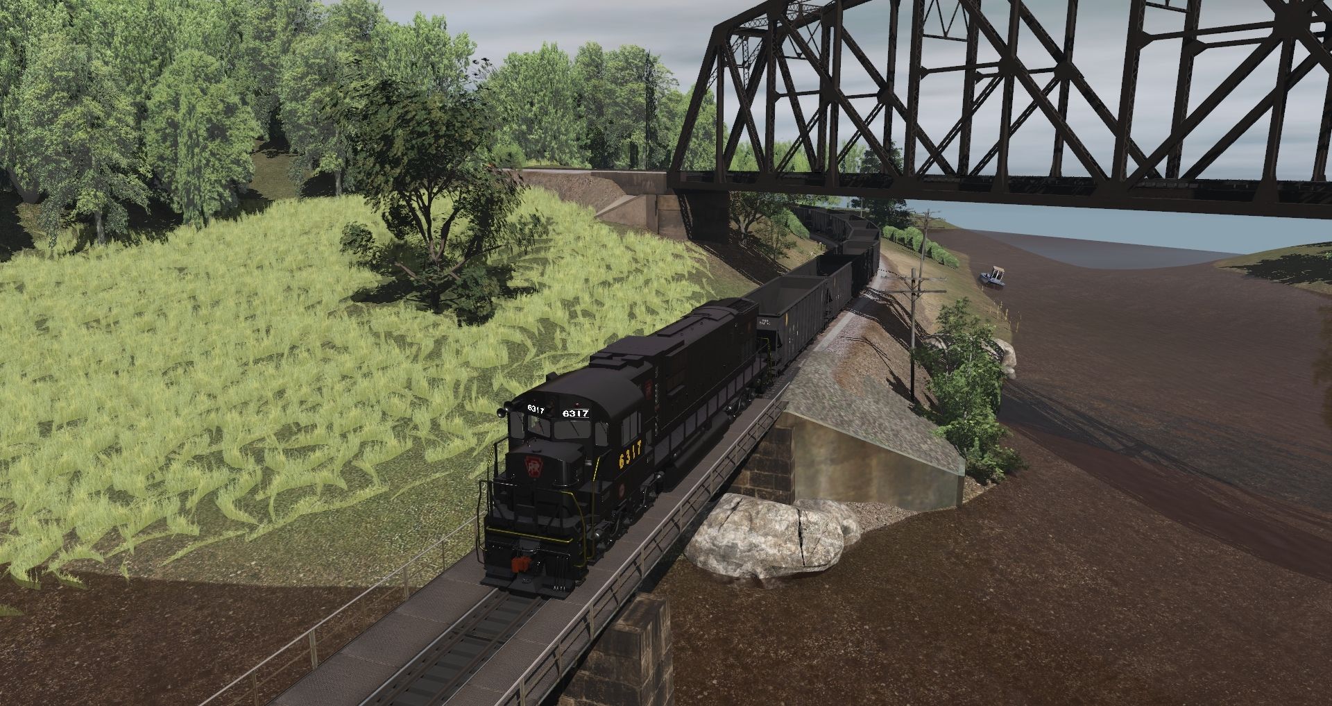
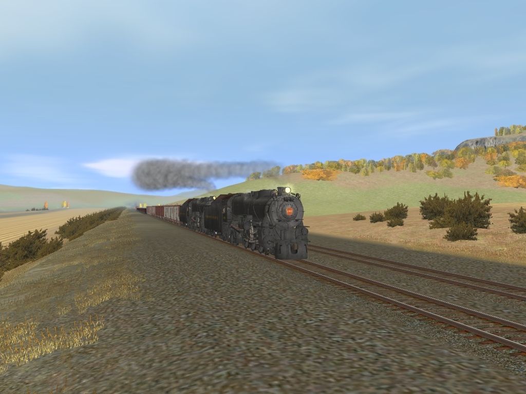
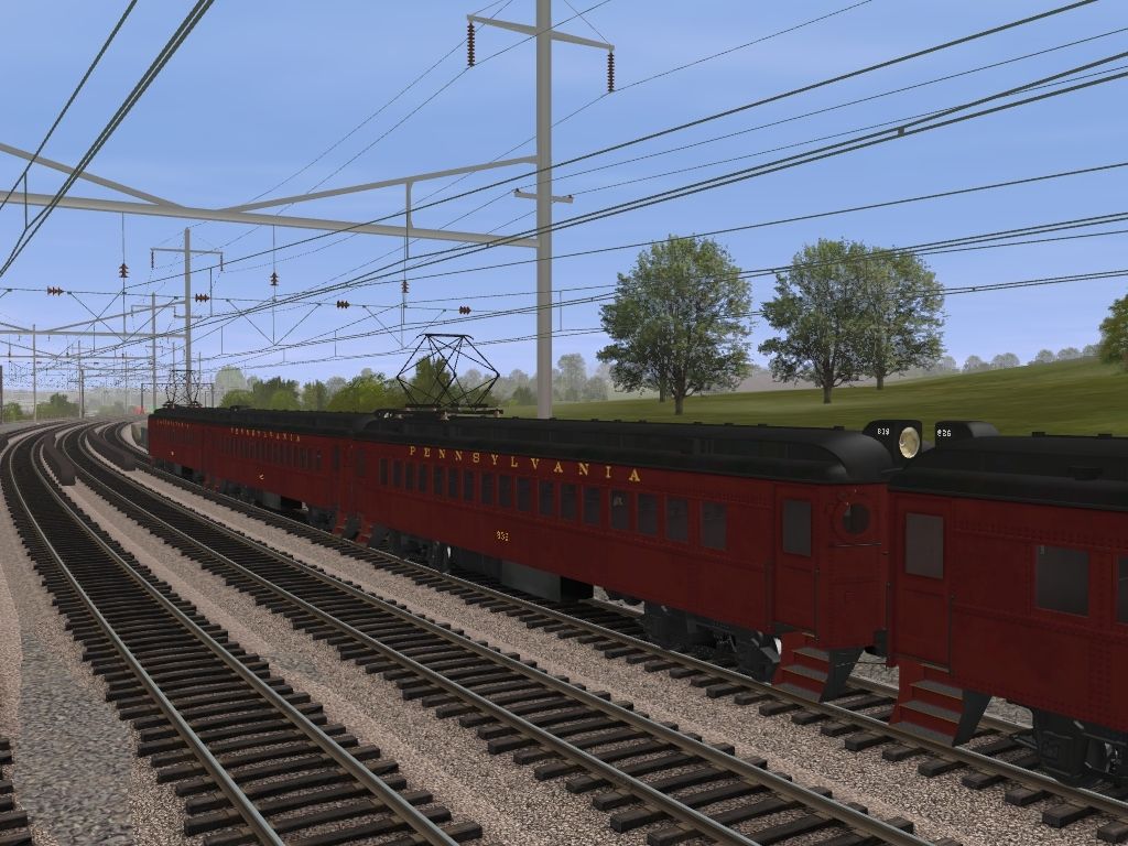
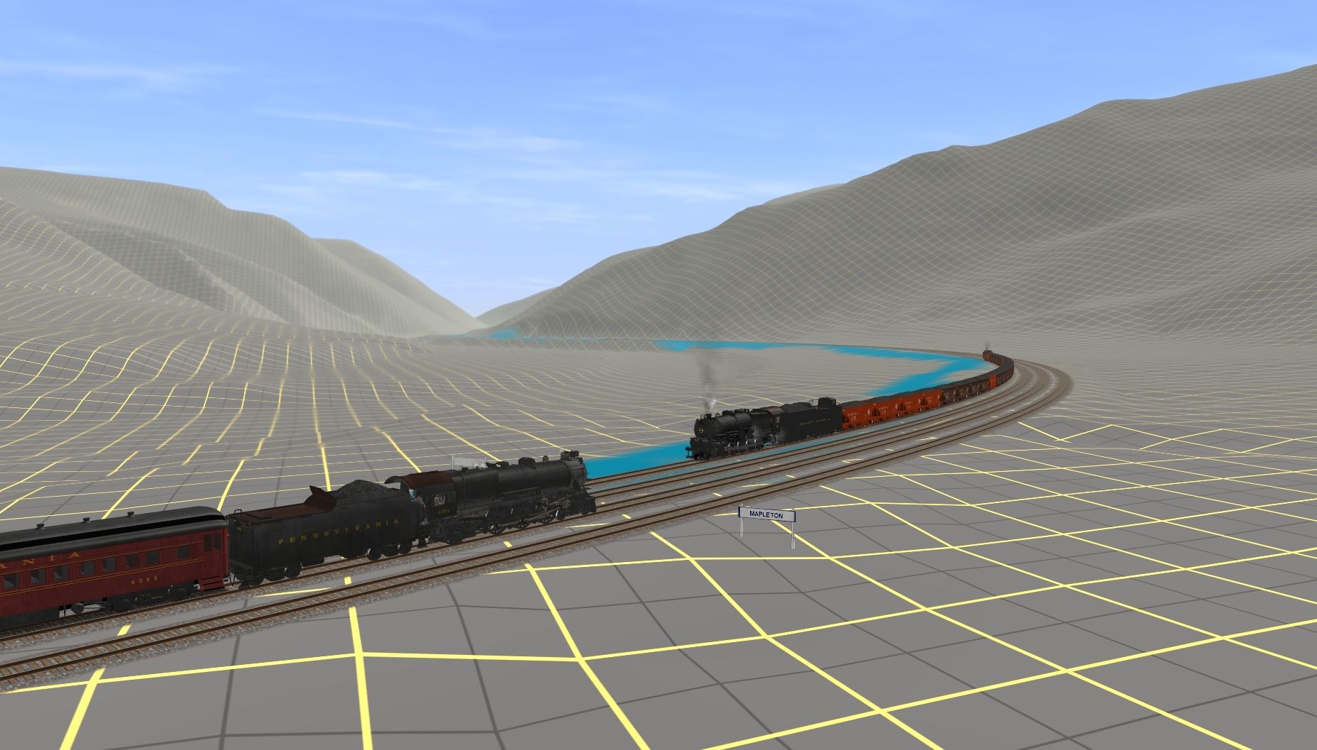
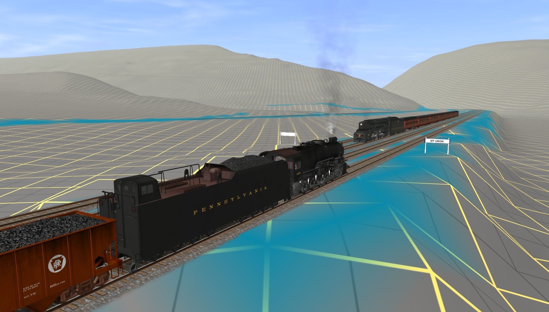
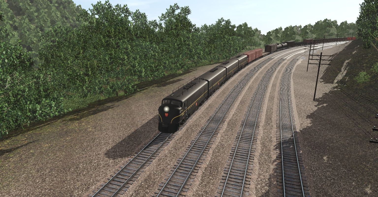
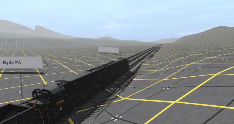
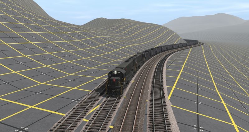
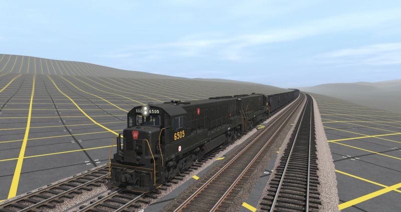
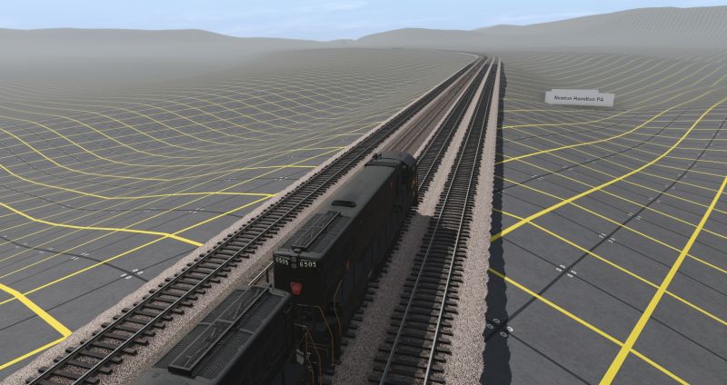
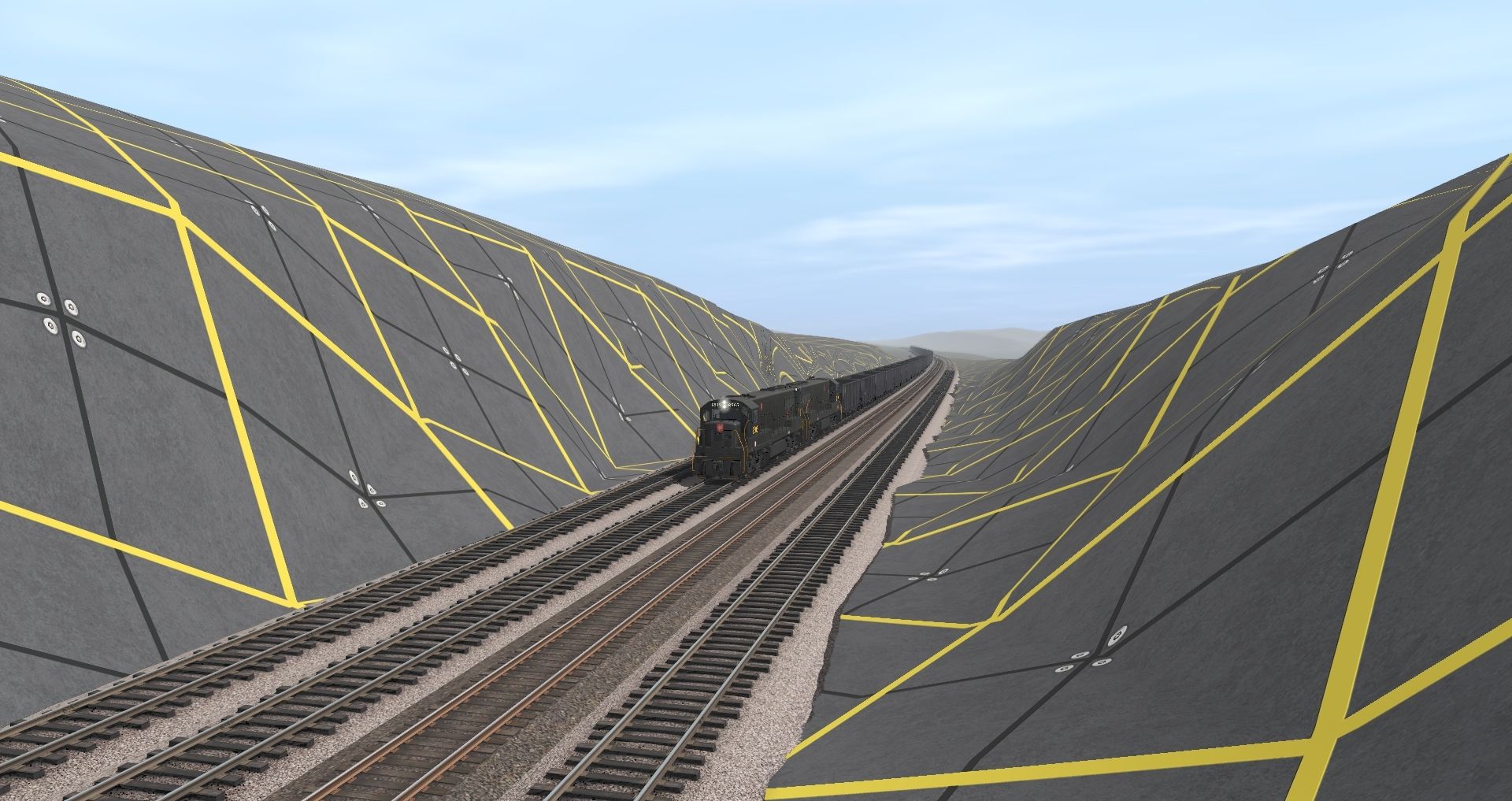
Matt, when I saw this one a few weeks back I kind of got inspired to finish grading the section of the PRR I've included with my EBT route. I developed the PRR track route using a combination of current NS track that was picked off Google Earth Pro and some 1950 track diagrams of the PRR that indicated curve radii and elevations at points of gradient changes. While I've included the track between Lewistown and Huntingdon most if it won't get much if any scenic treatment. Tooooo much else to work on. Anyhow here's a couple of shots from MtUnion and Mapleton areas.A little side project I decided to start since I can't go anywhere . LOL
...
...
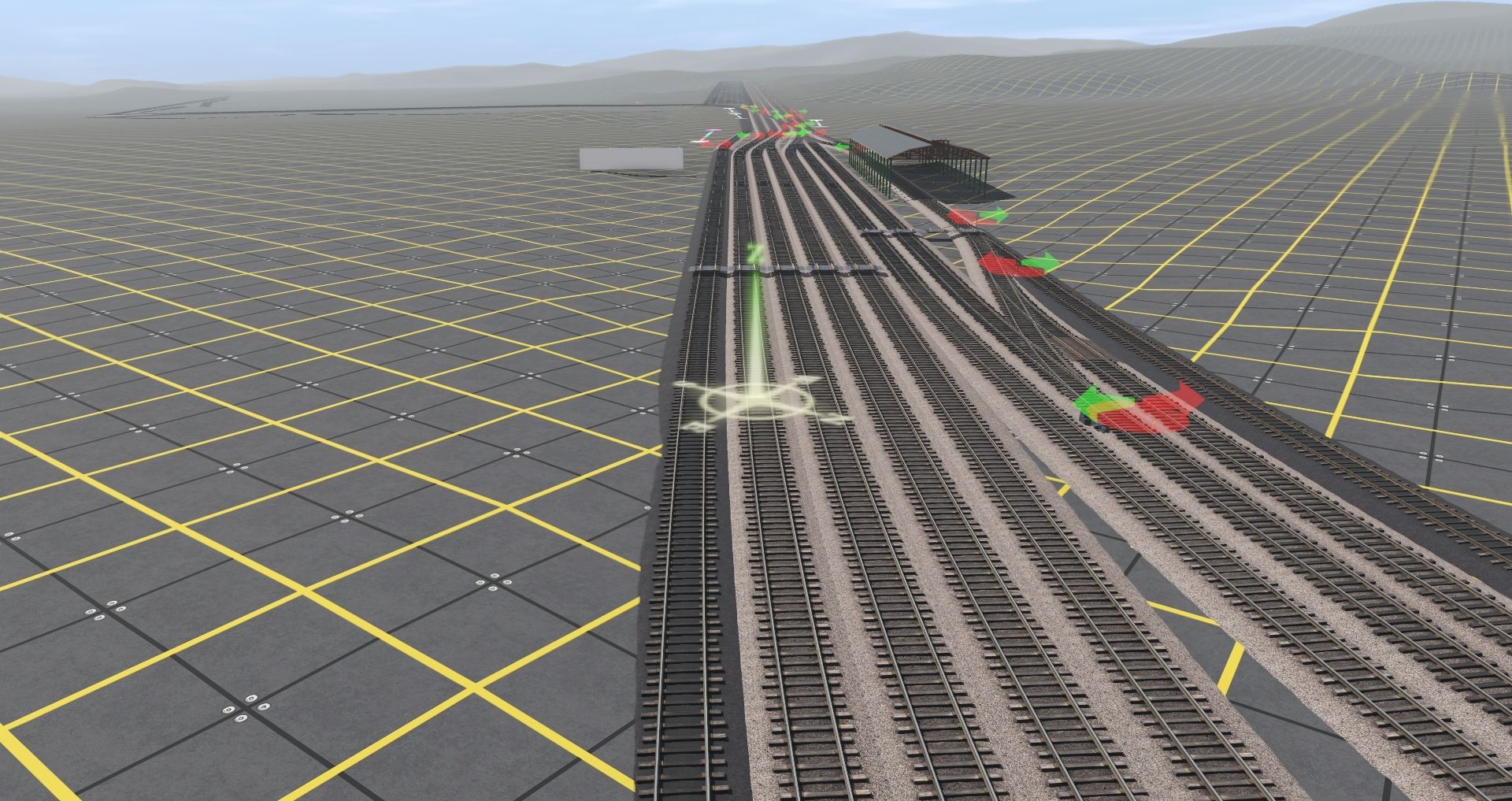
Ahh down time . Yards alone will keep me entertained for awhile . LOL
Matt
PRR
Bob Pearson
PennsyFan17
Member
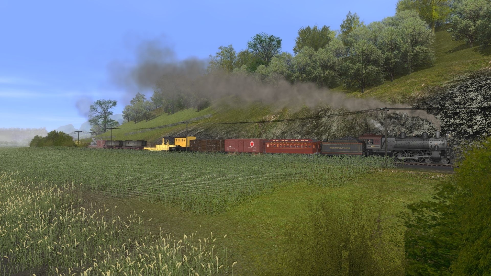
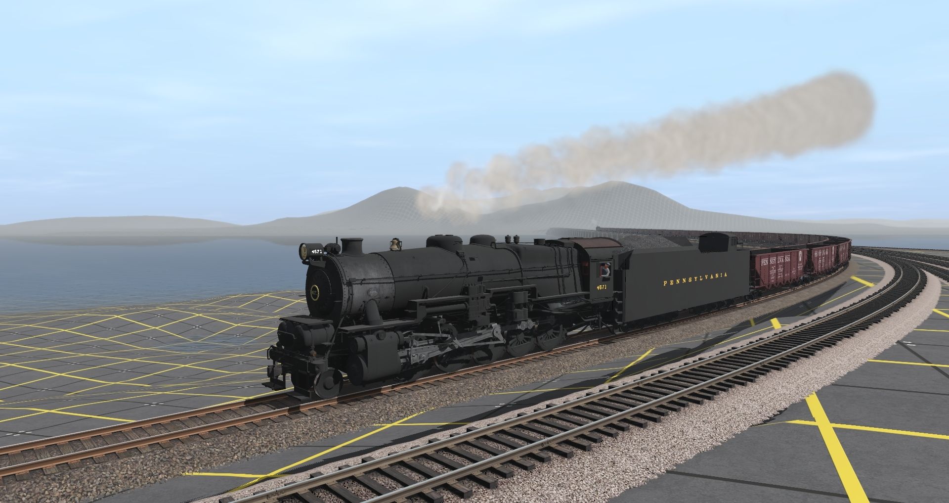
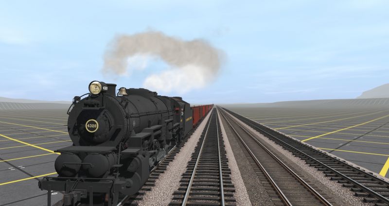
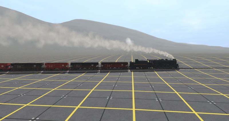
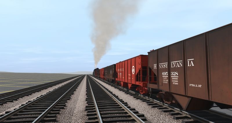
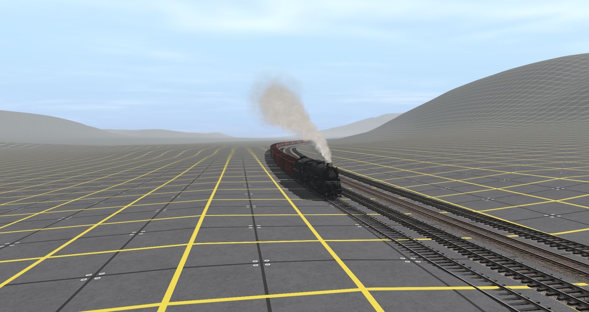
Been awhile, so here ya go
Taken on a one-baseboard module made for screenshots and model photos

Taken on a one-baseboard module made for screenshots and model photos
Last edited:
Railwoodman
Well-known member
Nice shots. Looks like we're working the same DEM . I'm having my rig rebuilt and waiting on parts . He He . The hardware theses day can be a real pain in the back . Looking good . pleas post more .
Matt
Looks like we're working the same DEM . I'm having my rig rebuilt and waiting on parts . He He . The hardware theses day can be a real pain in the back . Looking good . pleas post more .Matt
Railwoodman
Well-known member
Too just let all know . I'm alive . Just not able to run my Trainz at the moment . Which is REALLY Really hard looking at all the shots being posted on all the other threads . But We've turned a corner finely . PT for myself , and all the parts for the new PC . Now comes the hard work finding out what I've lost . All major works been backed up . But TANE and 2019 don't seem to be talking to each other . Which has me missing kuids that i know I had ??? Stay safe Be well . Take care . Matt
Post Pleas .. PRR
Bob .... I'm so sorry I missed your post . Fantastic work sir . I need to finish up Dreaming layout , then I hitting the DEM hard . Have tracks { four } laid . From Phil to Pitt . would love to see more of your work .
Last edited:
Railwoodman
Well-known member
finely able to start testing out the new rig . And I'm happy what I've got . But They tell me it can be better . So I wait .
My work can now start again ... yay .
Post soon
Matt
My work can now start again ... yay .
Post soon
Matt
Railwoodman
Well-known member
Having a blast running again . Testing all my routes . And looking for what I use to have in way of missing kiud's . haven't uploaded all yet thought . Still have a lot of work to get all to my liking . But my six months dry spell is finely at it's end Building going to be a lot more fun I think .
Matt
Testing all my routes . And looking for what I use to have in way of missing kiud's . haven't uploaded all yet thought . Still have a lot of work to get all to my liking . But my six months dry spell is finely at it's end Building going to be a lot more fun I think .
Matt
Similar threads
- Replies
- 12
- Views
- 734
- Replies
- 10
- Views
- 698
- Replies
- 19
- Views
- 1K