Problem in importing .gnd (DEM based route) into TANE SP4 using Microdem and HOG

dunstheater

New member
Hello everyone ,

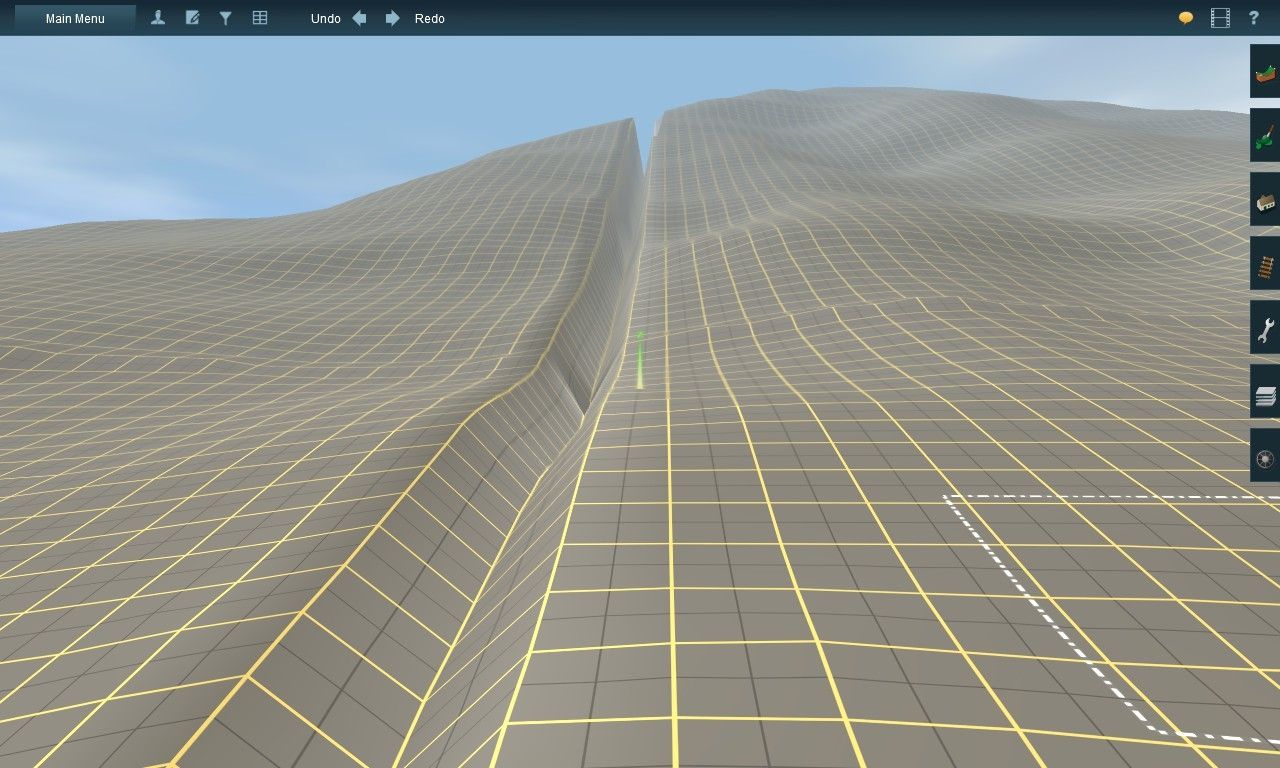
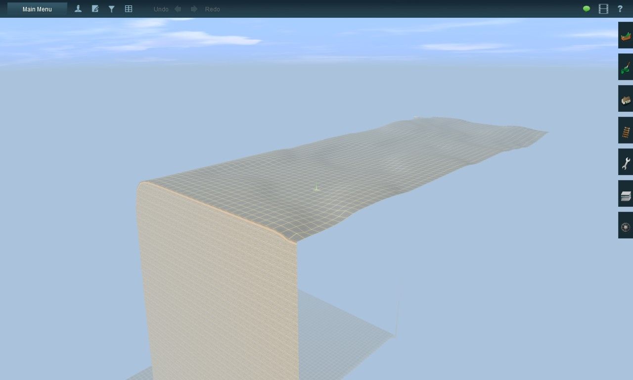
I have problem after importing a .gnd file that is already generated using HOG (and indirectly Microdem too), the result only yield one tile as shown below (it is supposed to be multiple tiles:'() :

error-in-importing-.gnd-from-HOG-and-Microdem-%281%29.jpg


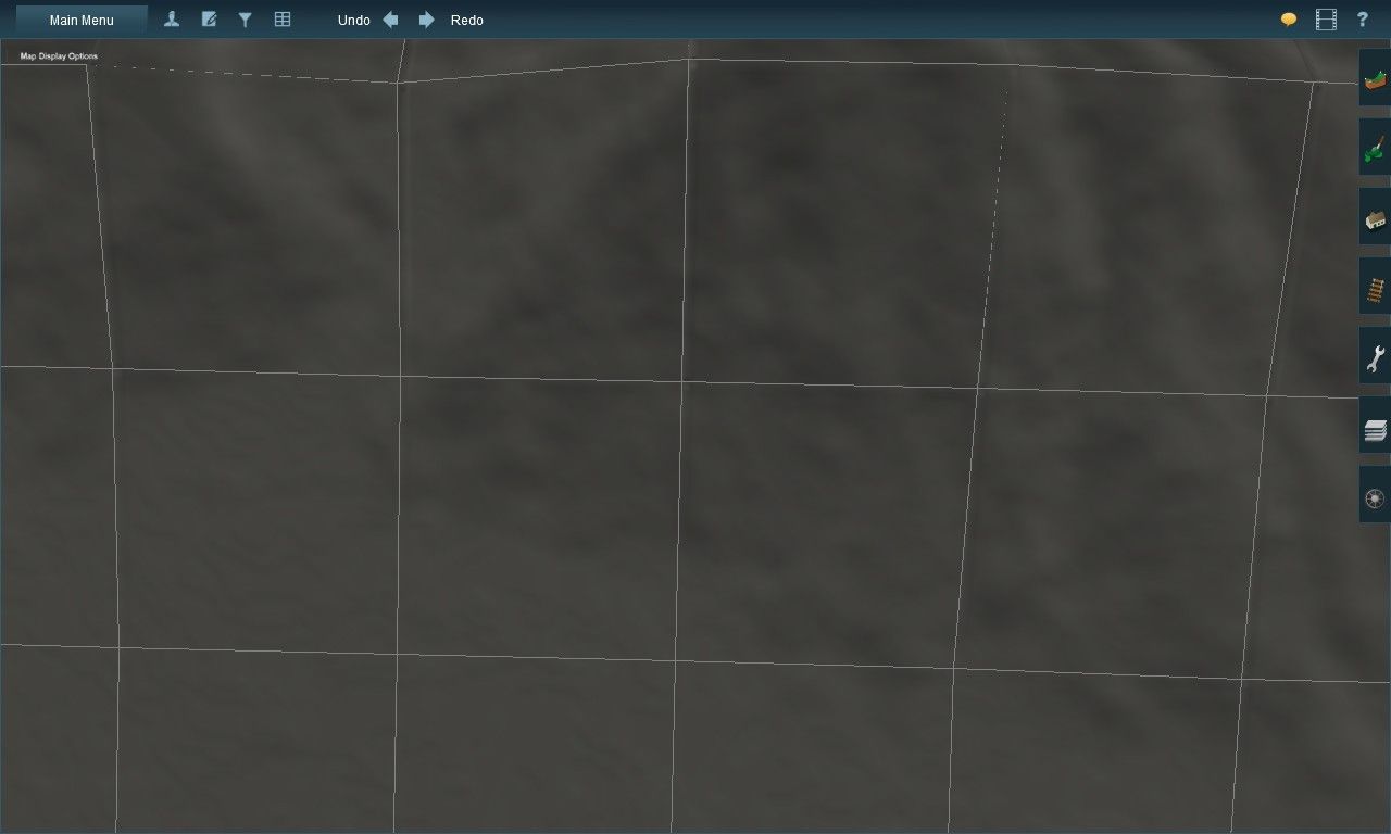
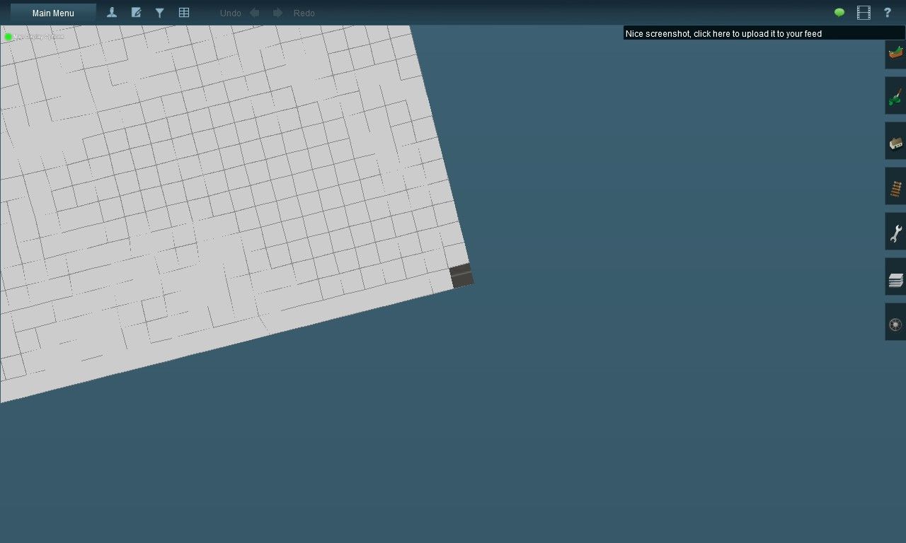
when I zoomed out it looks like there are many tiles but they are all shown white on the map (vanished when I zoomed in again) and only a tile which is on bottom right could be loaded.

error-in-importing-.gnd-from-HOG-and-Microdem-%282%29.jpg


are there anyone experiencing similar things? would really appreciate if anyone could help :) .

Thanks a lot,
Hardien
 
Haven't used Microdem and Hog for 13 years.

Presumably you created a new route opened it for edit and replaced the mapfile.gnd file with the one from the Hog folder rename it mapfile.gnd format changed all files now have to be prefixed mapfile.

Excluding Config.txt and thumbnail.jpg if it's there, delete all the rest of the files as they are going to cause problems and will be recreated properly after you have saved it in Surveyor, just add the mapfile.gnd file and submit

Just tested this by creating a new route in TANE deleting all the files apart from config.txt and thumbnail.jpg and putting a mapfile.gnd from an unused Microdem Hog route and submitting it.

A load of additional files will then be added to the assets folder which is now normal!

Any missing HOG files are on the DLS some are builtin in TANE.
 
Last edited:
Haven't used Microdem and Hog for 13 years.

Presumably you created a new route opened it for edit and replaced the mapfile.gnd file with the one from the Hog folder rename it mapfile.gnd format changed all files now have to be prefixed mapfile.

Excluding Config.txt and thumbnail.jpg if it's there, delete all the rest of the files as they are going to cause problems and will be recreated properly after you have saved it in Surveyor, just add the mapfile.gnd file and submit

Just tested this by creating a new route in TANE deleting all the files apart from config.txt and thumbnail.jpg and putting a mapfile.gnd from an unused Microdem Hog route and submitting it.

A load of additional files will then be added to the assets folder which is now normal!

Any missing HOG files are on the DLS some are builtin in TANE.

hey clam, thank you for your solution it works like a charm :) . Though, I have other issue:
at grid lines there are gaps like what is shown below
import-.gnd-in-surveyor.jpg


and here is a figure of those grid lines

import-.gnd-in-surveyor-%282%29.jpg


do you think this is caused by mistakes in microdem or are there other stuff that I don't know? fyi, I already downloaded HOG, though my .gnd file doesn't use any TIGER data.

Hardien
 
These great rifts are nothing new and have occurred with TransDEM and also when merging routes, appear right along the baseboard boundaries, and have been with us since the early days.

There is no easy repair, unfortunately. My procedure is:

Place short road strips across the rifts.

Fix the height of each spline.

Use the Smooth terrain tool to raise up the terrain under the splines.

Then finally, use the topology Plateau tool to smooth out the creases and bumps. I use this a bit gingerly and carefully so not to distort the hills too much.

If you have a quicker process, let me know because I'm willing to try anything to fix this ancient anomaly when it occurs.

I have had good results by gentle tapping of the topology/plateau tool (using an appropriate size and sensitivity) along the rift without having to place splines.
In my opinion, tapping works better than the usual spreading motion of the plateau tool.
 
Back
Top