horacefithers
New member
I looked for info on this but didn't see anything useful. I apologize if it's out there and I just didn't find it...
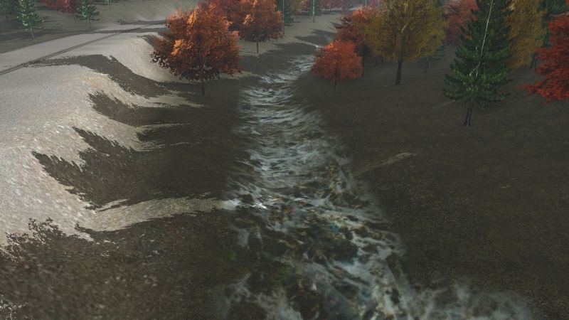
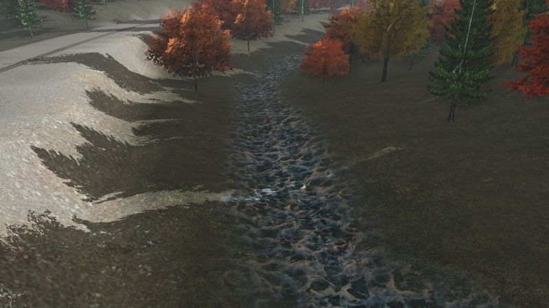
I'm trying to model a creek that is flowing downhill. It's made up of a series of pools each of which has a 'dam' made of a number of boulders causing the water up stream from the dam to be (more or less) level.
The problem is, when I bring two different water elevations near to each other they tend to snap together (or on one occasion even seemed to cause a change in water level across the entire route!)
Is this possible? If so, what are the magic incantations to make it happen?
I'm using Trainz 2019 with Windows 10 64bits
Thanks in advance,
HF