Decided to take another stab at creating a map based on TransDEM processed data. Got all the data files from various sources, followed the tutorials on this forum, and created the map. I also added the tracks to save having to place them all by hand, knowing that there would be some adjustments to be made.
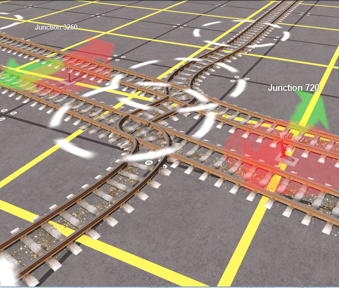
One is the fact that the program doesn't know if two crossing tracks are at different elevations so they are joined in an interesting way. Had to undo the junctions and will later provide a grade separation.
After
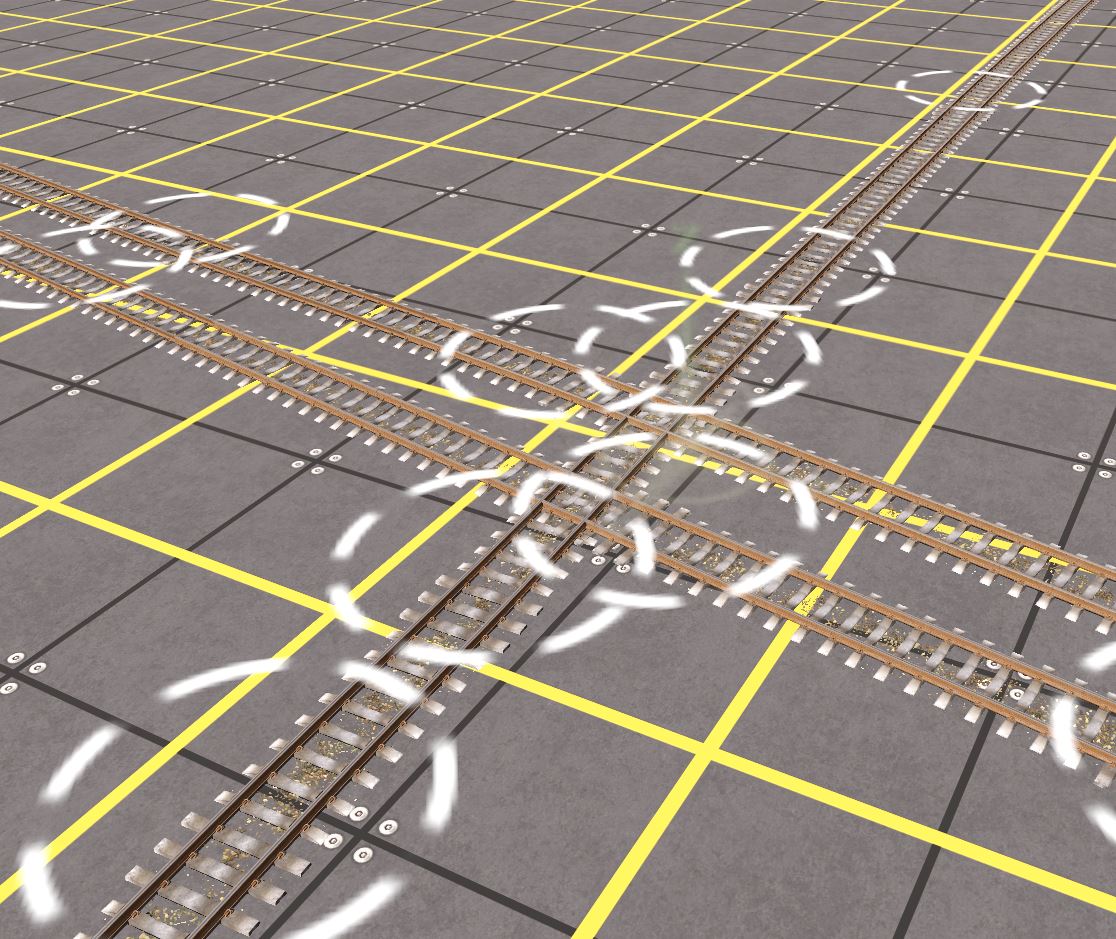
Another issue was a strange twist in the track. Don't understand what happened here.
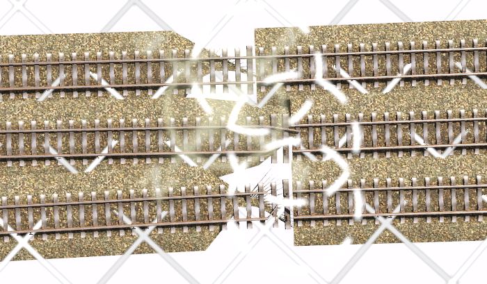
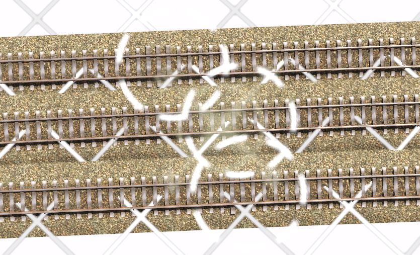
Fortunately by separating the track and rejoining the splines, it was quickly fixed.
One more thing. I had TransDEM create a bunch of UTM tiles to help guide my landscaping but they were all stored into a separate folder and I had to manually place they in the proper order in the map. Did I miss a step or was that what was supposed to happen. Also the 1000m tiles sizes were all correctly oriented but half the corresponding 500m tiles were all wrongly rotated. Did I miss a memo somewhere along the way?
All this in TransDEM 2.6.3.0
One is the fact that the program doesn't know if two crossing tracks are at different elevations so they are joined in an interesting way. Had to undo the junctions and will later provide a grade separation.
After
Another issue was a strange twist in the track. Don't understand what happened here.
Fortunately by separating the track and rejoining the splines, it was quickly fixed.
One more thing. I had TransDEM create a bunch of UTM tiles to help guide my landscaping but they were all stored into a separate folder and I had to manually place they in the proper order in the map. Did I miss a step or was that what was supposed to happen. Also the 1000m tiles sizes were all correctly oriented but half the corresponding 500m tiles were all wrongly rotated. Did I miss a memo somewhere along the way?
All this in TransDEM 2.6.3.0
 )
)