Progress on the Uintah RW

dangavel

Well-known member
Its taken a while, but finally theres something to look at on this route, firstly had huge problems with the original transdem map , after bob pearson fixed it for me, i discovered the first part from mack to mp 8 was about 10 metres differential in height compared to the route in the flesh.I worked on fixing that for about three weeks , then had a terminal issue with heights not working .I was fearful of working with this map, even if it could have been salvaged, so I decided I had to give it all way and remake the map from scratch.

After many attempts to get a decent topo map, finally Transdem clicked for me and I now have route that ( so far ) seems to work ok in TANE.
The inimitable Ben Dorsey has been working solidly on models for the route and he's been putting up with a lack off info re size etc and i've been looking through books and trawling the net for more info.

Unfortunately in some cases , it just isn't there, so we are making inspired guesses occasionally , in others where we have a few photos, we've been measuring old images and making allowances for perspective etc.

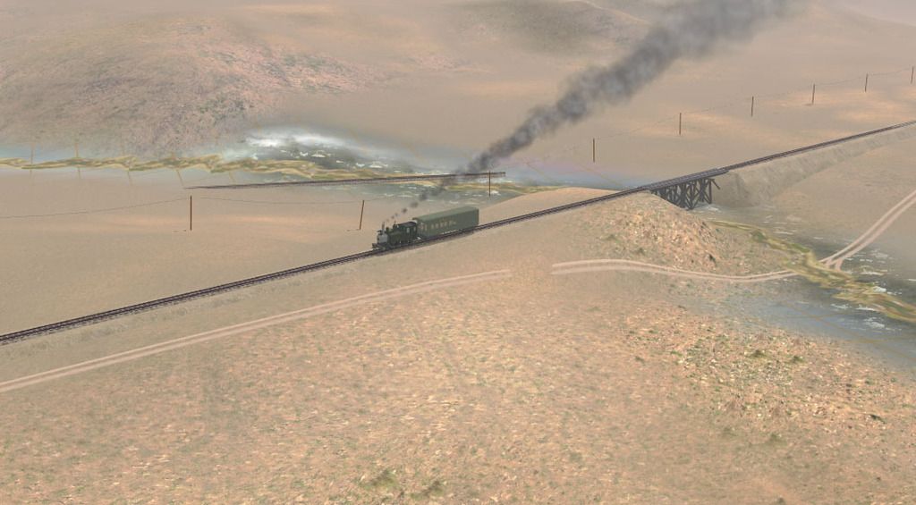
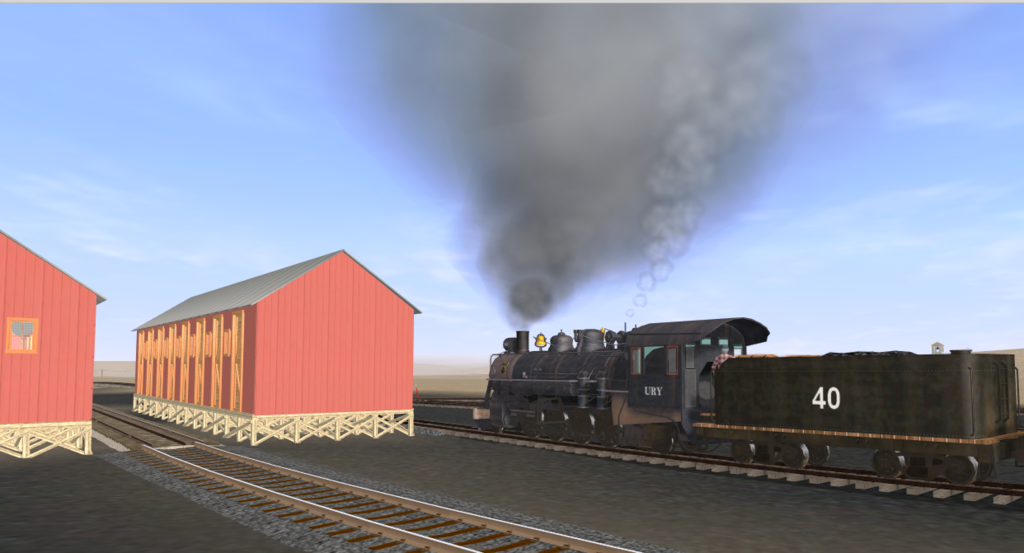
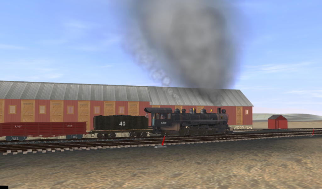
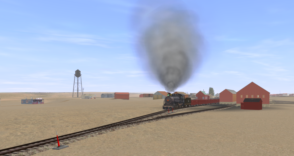
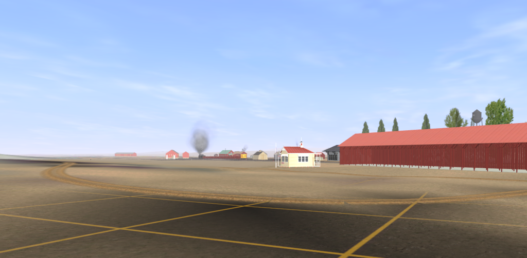
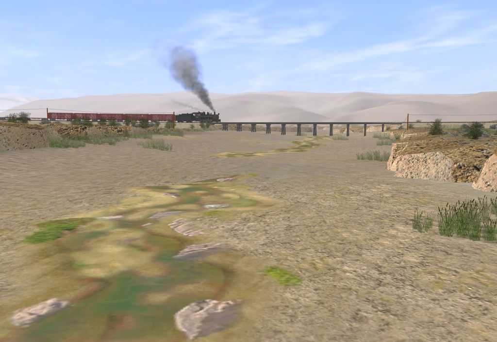
So heres a screenshot of the only part of the route that can be said to be "presentable ".Its not complete, but its what I'd like the whole route to be like before I release my version to DLS .

I'm slightly burnt out with laying track and referring to books and google earth to try and get everything as accurate as possible, so bunging in some grass and textures for bridge 1a 2 miles out of Mack is a welcome relief.
ury-bridge-1a_zps2spvqrup.jpg

Ben's made some great models of Mack township but I haven't got near to completing it yet, still need to work out the DRGW measurements where they interface with the Uintah, but when I have , I'll drop some more images in this thread.
if anyone else is working on this and has buildings made ( or dimensions/drawings etc of buildings ) , please share them and i'll reciprocate with textures and splines i've made for the route.
 
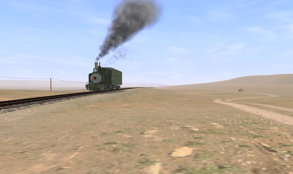
heres a few more shots from the first 14 miles of the route, nothing complete but gradually getting there . i found a video a dirt biker had shot of the route online which gives a much better indication of the terrain so i am going to rework a lot of the route with that in mind, many of the track fills will be removed and replaced by shallow cuts, this video is invaluable as you can see cuts and rock formations next to the track especially in the canyon further up the route where the transdem map is not accurate in such a narrow confine. it more or less interprets the creek as a big hole in places and in consequence has cut the rail route out as well..
The shot below is the one spot where I have worked on textures and other content apart from the road ,creeks and telegraph, which are needed to work out where the track can go most accurately .

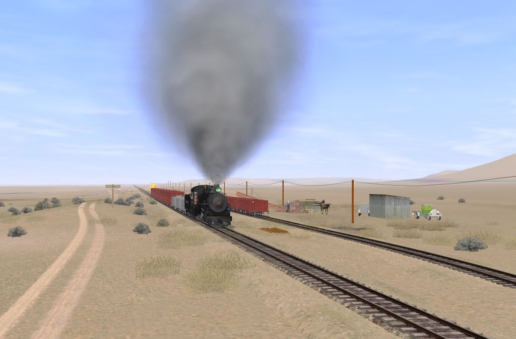
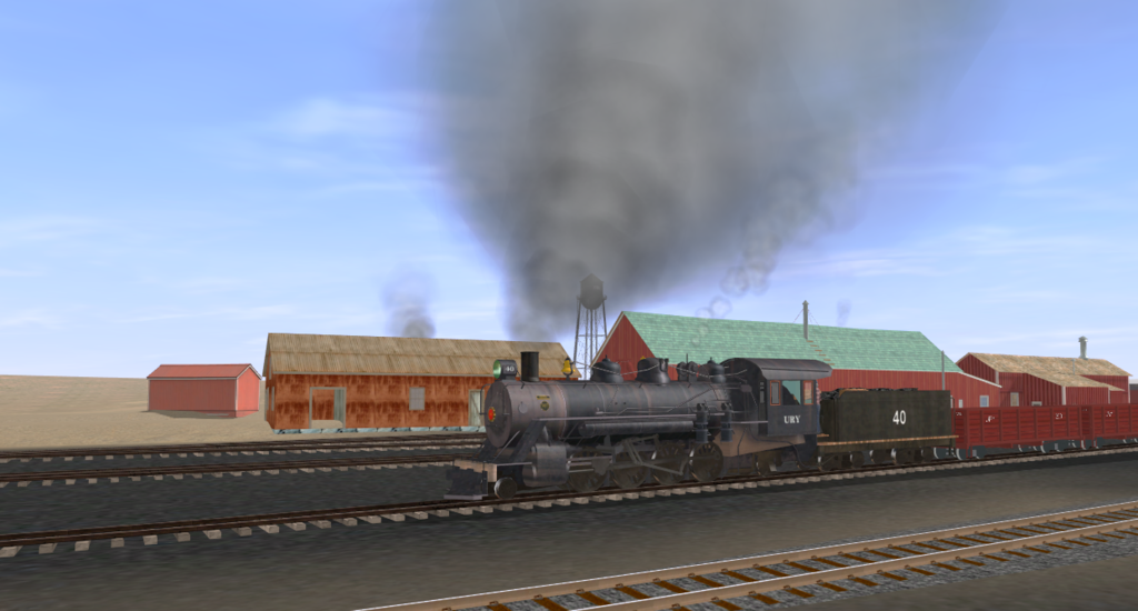
EBT no19 standing in for Uintah 2-8-2 number 40 pulls a freight though Clarkton
clarkton_zpskof4nfem.jpg

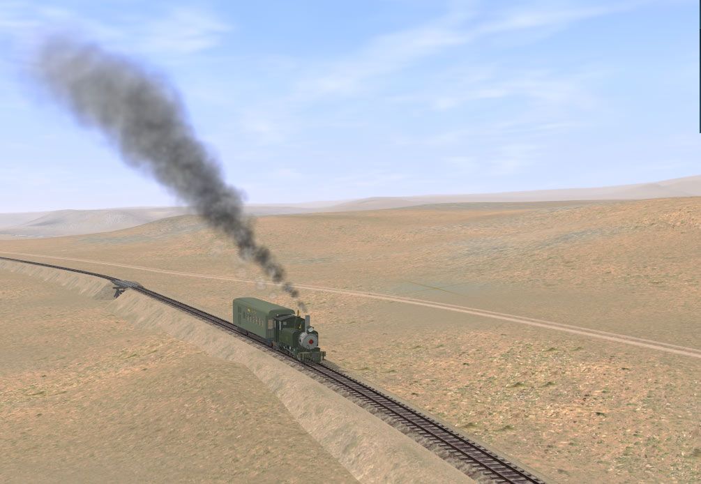
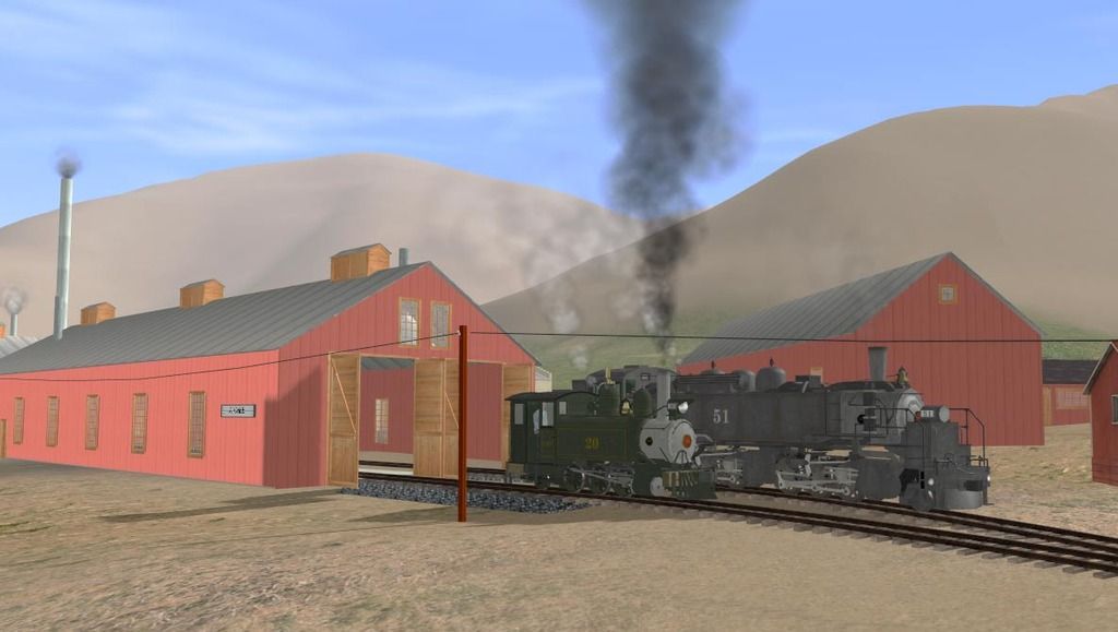
0-6-2 number 21 near trestle 12a
trestle-8c_zpsjdhrme4m.jpg

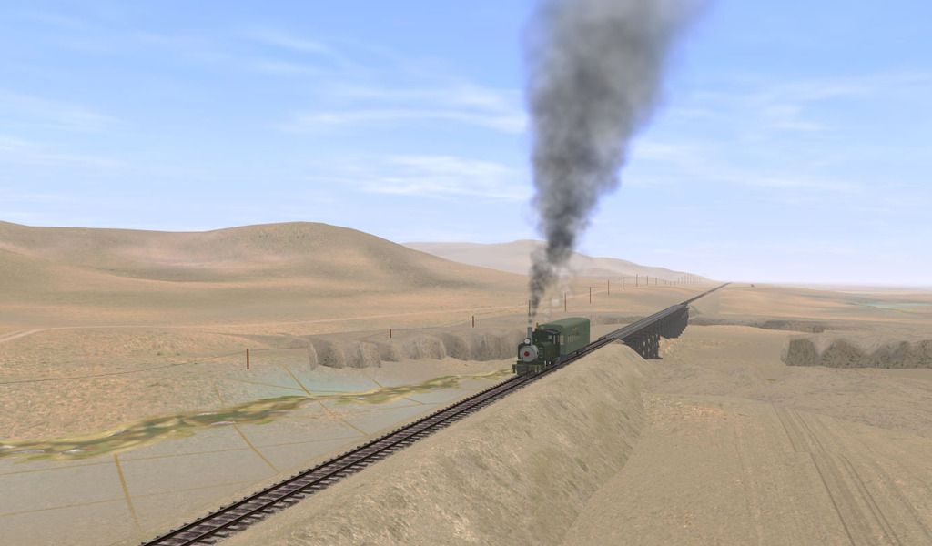
this is bridge 8a or b, supposed to be only about 80ft long, but when measured in google earth the two abutments were 340 ft apart, no doubt it had to be enlarged due to erosion , which was a real problem with shale soils and flash floods
trestle-8b_zpssblme2be.jpg

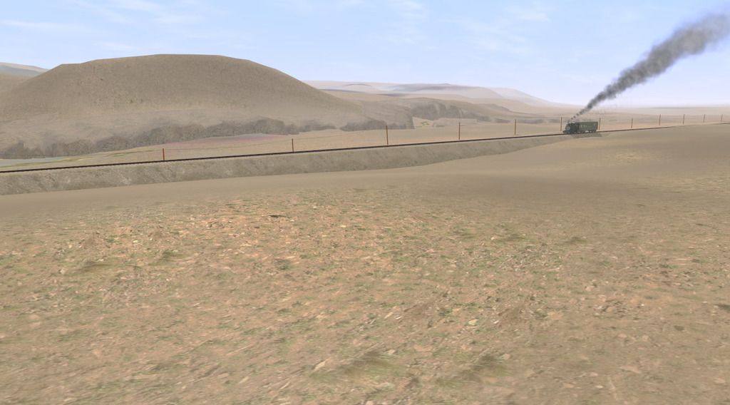
the whole area is criss crossed with dry creeks which become raging torrent so one or two days a year, thus there were many deep cuts that often strayed near the train line
river-bandk--lshot_zpsfglf06nn.jpg

trestle 11b
trestle-11b_zpsh80slxrx.jpg

near MP 15 , the dirt road next to the track was impassible for much of the time especially further up the canyon where it gets wetter.
mp-15_zps0u1zcprf.jpg

more shots to come soon once i have fixed the grades and terrain up to Carbonera , where there is a coal mine and tipple ( made by Ben Dorsey )
the Uintah had track that was pretty much laid direct on the ground with exposed ties, and virtually no ballast bed , so have had to lay a trackbed under the rails and bring it up to track height to hide the ballast , this makes track laying a much longer process but is more accurate.
currently ben is creating the engine house and machine shop at Atchee
 
Last edited:
And Dan, I hate to correct a engine at a different line, but the 0-6-2 usually took the route through Baxter Pass from Atchee to Dragon alone. But if another passenger car was added, then the tank loco would have to double-head with the shay.
 
And Dan, I hate to correct a engine at a different line, but the 0-6-2 usually took the route through Baxter Pass from Atchee to Dragon alone. But if another passenger car was added, then the tank loco would have to double-head with the shay.
yeah i know, it rarely strayed past Atchee, but this was a special, a sick kid with a broken leg had to be taken to mack, so they laid on the cheapest option, the 0-6-2 :)
(this actually did happen once )
used less coal than the consolidations and the mikado and i don't have versions of them anyway , although if i can reskin one of the old FCC c18s that would fit the bill........


Uintah #1 by Prowler901 (his CLC repaint shown also), Uintah #20 and 21 by BDANeal, and Uintah #51 by BDANeal (TS12 versions by Bill69 and PhilSkene on the DLS)

So far as I know there isn't any model of the Uintah #s 2 - 7. These Lima 2 truck Shays would have been noticeably larger than the #1 having 32" wheels vs the 29 1/2" of the #1 and out weighing it by 26,000 lbs.

While the #51 could be repainted for the #50 the #50 was slightly smaller by about 8,000 lbs.

Each of the four Baldwin 2-8-0s were different, #10, #11 (DRG #55), #11 (2nd), and #12, also different were the two Baldwin 2-8-2s #30 & #40. The first #11 was actually modeled as D&RG Class 56 #55 for MSTS by BPratt http://www.elvastower.com/forums/index.php?/topic/18332-drg-class-56-55/ and Togog has done some D&RG Class 56 locomotives and and one of them might be a good candidate for repainting as the first #11 although they all have diamond stacks.
 
Last edited:


Uintah #1 by Prowler901 (his CLC repaint shown also), Uintah #20 and 21 by BDANeal, and Uintah #51 by BDANeal (TS12 versions by Bill69 and PhilSkene on the DLS)

So far as I know there isn't any model of the Uintah #s 2 - 7. These Lima 2 truck Shays would have been noticeably larger than the #1 having 32" wheels vs the 29 1/2" of the #1 and out weighing it by 26,000 lbs.

While the #51 could be repainted for the #50 the #50 was slightly smaller by about 8,000 lbs.

Each of the four Baldwin 2-8-0s were different, #10, #11 (DRG #55), #11 (2nd), and #12, also different were the two Baldwin 2-8-2s #30 & #40. The first #11 was actually modeled as D&RG Class 56 #55 for MSTS by BPratt http://www.elvastower.com/forums/index.php?/topic/18332-drg-class-56-55/ and Togog has done some D&RG Class 56 locomotives and and one of them might be a good candidate for repainting as the first #11 although they all have diamond stacks.

yeah there were some differences between the two artics, mostly in the tender design, but it would not be that noticeable.I don't think I have the shay , it may be one I've deleted it off my asset list as its not been modded to work in TANE . The shays were often used as shunters as well as helpers over the pass.

i'm modelling the Uintah in its final decade, so the original number 11 was long gone by then. on another thread on the Uintah, skol states hes made number 12 , but he seems to be off list again as hes not answering my PM'S .

Before then Uintah closed , the DRGW looked into purchasing the line, so in theory one could envisage an alternative universe where K36's ran up to Atchee. In the distant future I'd like to extend the line as envisaged to Cowboy , near Bonanza , which entails a crossing of green river. All fantasy , but fun .

The biggest gap in the inventory is the lack of a 2-8-2 as they were the main locos used on both sides of the pass, tight curves mandated the use of six coupled wheels, thus the introduction of the articulated locos. I made a half hearted attempt to reskin a 2-8-2 as number 40 but for some reason it did not work and I'm more interested in the route development at the moment. One day i'll look into it more deeply.

Most 0f the rollign stock has been made by Ben Dorsey, which is great, but there are a few gaps. The route also used a self powered ditcher and a pile driver , the ditcher was constantly working on keeping baxter pass free of land slides and the pile driver was use to drive rails into the river banks next to the trestles to stop erosion of the shale soil.There was a very simple snow plow,which hasn't been made to my knowledge , the curves were too sharp to use a rotary .


Would either of these simple snowplow's fit your requirements? <kuid:181672:548733> 36in Snowplow by david111767 and <kuid:67261:15007> 2FT SRRL SNOWPLOW #514 by whecsailor.

Of course if you use prowler901's K-27, K-28, or K-36 for your 2-8-2 needs some of them have attachable/detachable snowplows.


Prowler's K-27 455 comes close to the Uintah #30 with 40" drivers although it was built 8 years earlier and is 10,000 lbs lighter. Shown with and without plow. (also available in black) :D Prowler did more K-27s and Togog did some K-27s also.
 
Last edited:


Would either of these simple snowplow's fit your requirements? <kuid:181672:548733> 36in Snowplow by david111767 and <kuid:67261:15007> 2FT SRRL SNOWPLOW #514 by whecsailor.

Of course if you use prowler901's K-27, K-28, or K-36 for your 2-8-2 needs some of them have attachable/detachable snowplows.
the top plow is close to what they used , it wasn't a lot different in design.
I wouldn't be using the K series 2-8-2's , the EBT 2-8-2s are a lot closer to number 30 and 40. the white pass and Yukon 2-8-2 is also a candidate for reskinning , both are closer then the DRGW units, wonderful though they are.
hopefully someone will make a model of the rest of the Uintah engines one of these days, we can always live in hope... number 40 in particular is a very handsome engine and they kept it in good condition . in some ways it was overkill to have such a large engine in this part of the line as most traffic went downhill from Atchee to Mack. loads of coal from Carbonara to Atchee would have been its biggest load as that is all uphill at around 2% grade average.
 
If anyone is interested a bike rider has uploaded this video
https://www.youtube.com/watch?v=NWIFD053nnA&spfreload=10
which shows him driving from around milepost 14 right up Baxter pass , its very good quality and it is going to be invaluable in making sure the topography is near to the original . there are some bits missing but he may upload the whole thing sometime , its well worth a look .those old guys were incredibly courageous taking trains up those 7.5 grades,
 
heres some pics of mack and one of atchee , none of this is complete by any means, but it gives an indication of whats to come .
atchee_zps9h5ufntg.jpg

rough approximation of what atchee yard will look like eventually, buildings by Ben Dorsey
mack%20screenshots%20Screen%20Shot%202017-05-06%20at%2011.04.26%20am_zps9bd7i6az.png

thinly disguised EBT mikado pretends to be Utah number 40 for this shot in mack yard
mack%20screenshots%20Screen%20Shot%202017-05-06%20at%2011.04.34%20am_zpsxbfffvde.png

passing the gilsonite sheds , there appeared to be only one here in the yard plans , but close inspection of the "rails of iron" dvd indicated there was another smaller shed in front of the bigger one, which had a short length a dual gauge track to allow DRGW standard gauge cars to load the gilsonite from the NG cars. Ben has built a smaller gilsonite load so the loads do not protrude from the end of the DRGW cars.
mack%20screenshots%20Screen%20Shot%202017-05-06%20at%2011.04.43%20am_zpsdzy6scmc.png


another view of the overlapping sheds
mack%20screenshots%20Screen%20Shot%202017-05-06%20at%2011.05.06%20am_zpssy6efgk1.png

all the water at mack had to be shipped in from mcandrews lake, way up in the mountains , the older wooden water tank collapsed, nearly killing the operator , so the new steel tank was built in the late 20s a similar one was also constructed at rainbow.
mack%20screenshots%20Screen%20Shot%202017-05-06%20at%2011.04.16%20am_zpszukeoehp.png

shot of the post office and lumber company near mack station, the depot is coming soon, Ben's working on it.
note, even when mack and surrounds are fully landscaped, this part of the line is pretty desolate, even the scrub is sparse. its a mix of shale lined creeks that erode rapidly and it was only when an irrigation pipeline came through that any farming got going and then, only for a few miles out of town, this is dry country. the route follows the old DRGW narrow gauge for about 6 or so miles and then strikes out towards baxter pass, 28 bridges between mack and atchee, the railroads main yard and repair spot, then on with the 7.5 grades up baxter pass and some amazingly difficult country and gradients .
 
Last edited:
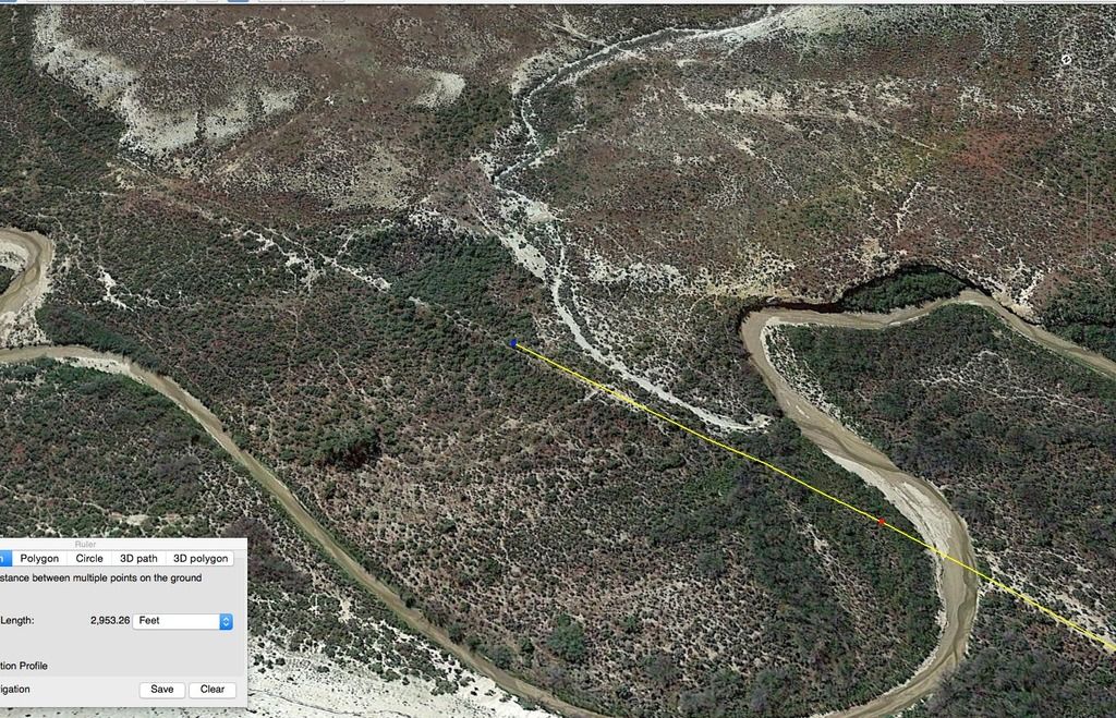
i recently found out i could get google earth pro for free, this is a huge bonus as it allows you to draw paths ( i.e. in my case that translates to " follow old railroad tracks that are barely visible and make a path that can be curved, extended and saved" ) the standard version allows you to only draw straight lines . the pro version also allows you to see terrain profiles, great if you are following a terrain map which is only accurate to within a few metres or so.
Today i decided to jump right to the other end of the line , near rainbow junction. there are hardly any photos of this section . in most cases, the old railbed was used as a road once the railroad was abandoned, but this section is in a very narrow canyon and the road deviates off elsewhere. fortunately one can still see the old trackbed in this section and i also have the rodger polley book which has a trackplan, so today ive been marking out the route and double checking with the book.
google-earth-pro_zpsxzej4yqg.jpg

the yellow line is the google earth pro path and the light line in front of it is the old trackbed, i should be able to accurately follow this section and look to see where fills or cuts were situated. amazing its still visible after nearly 80 years.
 
Last edited:
Hey Dan,

;) Congrats on your accomplishments,

That is so cool, you like others just gave me a great idea, in the fact when I drive to other States, I see old Trackage here and there off highways, FWY's etc, and am curious as to where they go, I guess you could almost say I like spelunking the Old Rails. Beats walking across the Desert or climbing them hills to find out. The Rattlesnakes would love to meet up with me I'm sure.....LOL

Like you say, this should really help you in your Route Building.

Thanks for sharing and have what's left of a great weekend. :wave:
cheers blue, without this tool, it would be SO hard to make this accurate , i'd probably just had to guess, even with the map , as that doesn't give topography . making routes lei this is so much more difficult than just doing your own thing, but it is worthwhile as i'd hate to make it a vague approximation.
one thing i am going to do though is extend the route to bonanza as was planned as it crossed the green river and would feature a 500 ft steel bridge, .there was also a plan to take over the railway by the drgw, and that could also be envisaged ,one could run k28s and 36's up to bonanza then....
 
Nice work on the route so far, your doing a fantastic job, nice to see a route being built for all of the Unitah Railway content. Keep up the good work.
 
Okay, you have me REALLY interested in this route! I've thought about attempting to model the Uintah Ry myself, but found it quite difficult. Most likely due to the inaccuracies of the previous route map that was available on the DLS. You've done a marvelous job so far and I can't wait to see more progress! Keep up the amazing work!
 
Okay, you have me REALLY interested in this route! I've thought about attempting to model the Uintah Ry myself, but found it quite difficult. Most likely due to the inaccuracies of the previous route map that was available on the DLS. You've done a marvelous job so far and I can't wait to see more progress! Keep up the amazing work!

its not a job for the fainthearted and unless you have the route maps contained on the rodger polley pictorial books, it would be impossible to be accurate. i'm working on the canyon going up to atchee at the moment . the route deviates from the road quite a lot and there is virtually no sign of the old railway bed here, i've seen one bit of line a few hundred metres long, the rest is just obscured by brush. very few photos of this section and there a deep creek right next to the line which meanders around the canyon floor. so you have to take that into consideration as well as the old dirt road and the rail bed.

its taken about 3 days to lay track over one mile because its so hard to fit it all in accurately into the narrow space and stick to the grades indicated . the new map is more accurate, but i still has a lot to be desired in the canyon, sometimes its a few metres out and some times it very accurate, you cannot take it for granted !
gotta thank Ben Dorsey for his building content, its a big job and hes getting through it very quickly. we have lots of mining trestles and loading docks to do for the other end of the route, many gilsonite mines which are going to be tricky to portray as they are not well documented or have changed markedly over the years. i'm modelling the route after 1928, so the mines had changed a lot by then, some beginning to play out, others taking over.

there is also a good chance that some more locos such as the 2-8-2s and possibly a shay may be built, so keep your fingers crossed !

i've been really busy with documenting buildings and mines for Ben , when i do some more track laying thats more or less complete. , i'll post some images here.
 
I started working on Baxter pass , these 7.5 percent grades are pretty awesome even when the track work isn't completed .
OQirqxG.jpg

on the other end of the route, ive mostly completed the trackwork on the branch line to the gilsonite mines at China Wall . Colorow and Thimble rock mine, we see here ben dorsey's gilsonite piles , being tested at the china wall site

vO6I5Ri.jpg


etJoeKK.jpg

track laying and grading work has taken place at dragon, rainbow junction rainbow and atchee, just got to tidy those sites up for screenshots.the ground around each site is about 3 to 4 metres lower than it should be and a lot of small hills are too low too. there is about 40 odd miles of drybed creeks that parallel the track and then shale ands sandstone cliffs for the whole route. once all the track is laid and correct, i can then feed gradients to ben to make the trestles. around 75 in total, in one stretch there are 7 in one mile !
 
Last edited:
Back
Top