Bradleyeed
Member
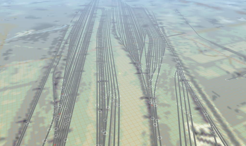
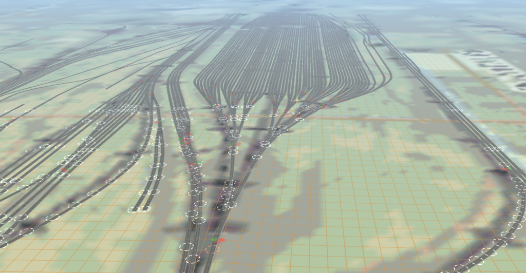
After working on and off for almost 9 years, I have finally completed the preliminary design of every rail line and yard within the Chicago Terminal District. This includes the class 1 railroads, the BRC and the IHB, as well as all shortline railroads and the entire Metra network and the NICTD system from Gary, IN to Millenium Station. Using various resources, including but not limited to Google Earth, Bing Maps, The Chicago Union Station Master Plan, an FOIA request to Metra, and Chicago-L.org. I drew the entire rail network, except the CTA Subway portions which were approximated, in Transdem, and with the help of AutoCAD I imported drawings of CUS and Millenium Street Station. Here are some screenshots of some of the railyards in city.
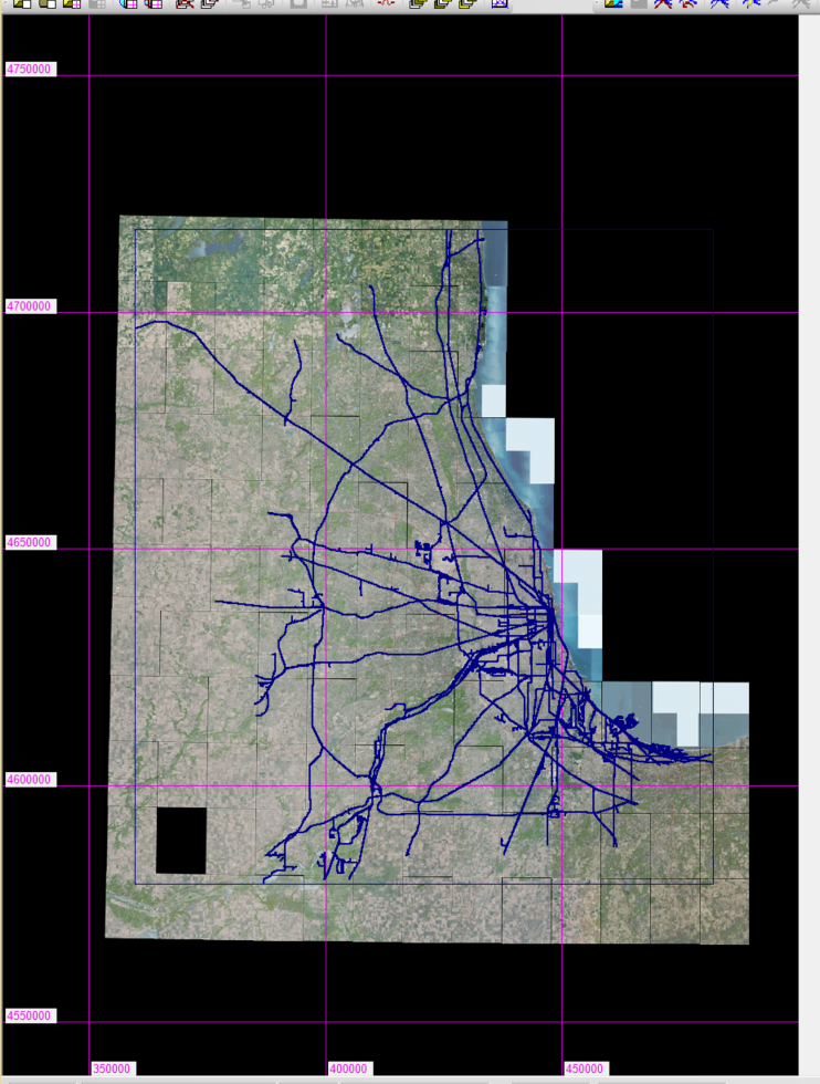
Overview of TransDEM Map
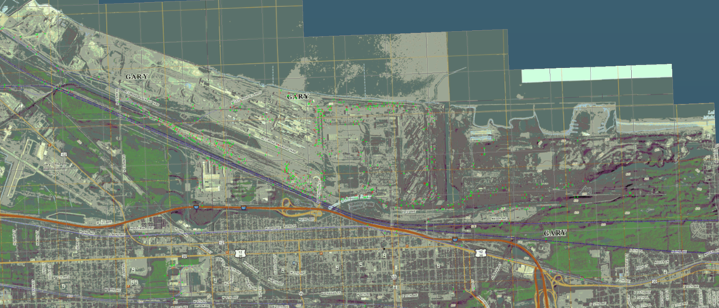
USS Gary Works Facility and CN/EJE Kirk Yard
AMTK 14th St Yard and Metra Roosevelt Yard
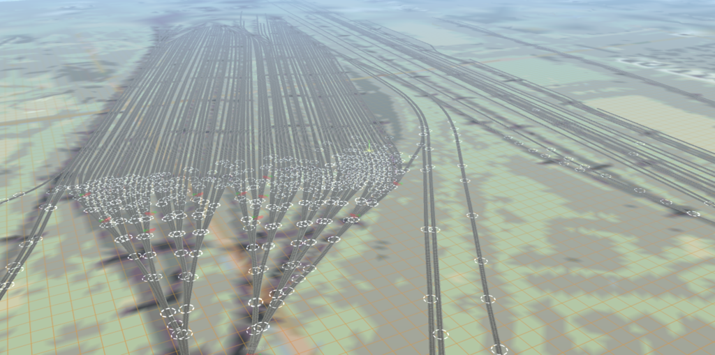
BNSF Logistics Park
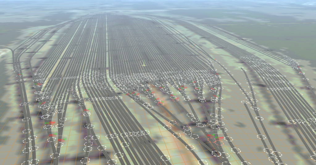
UP Global Yard II
NS Ashland Ave Yard
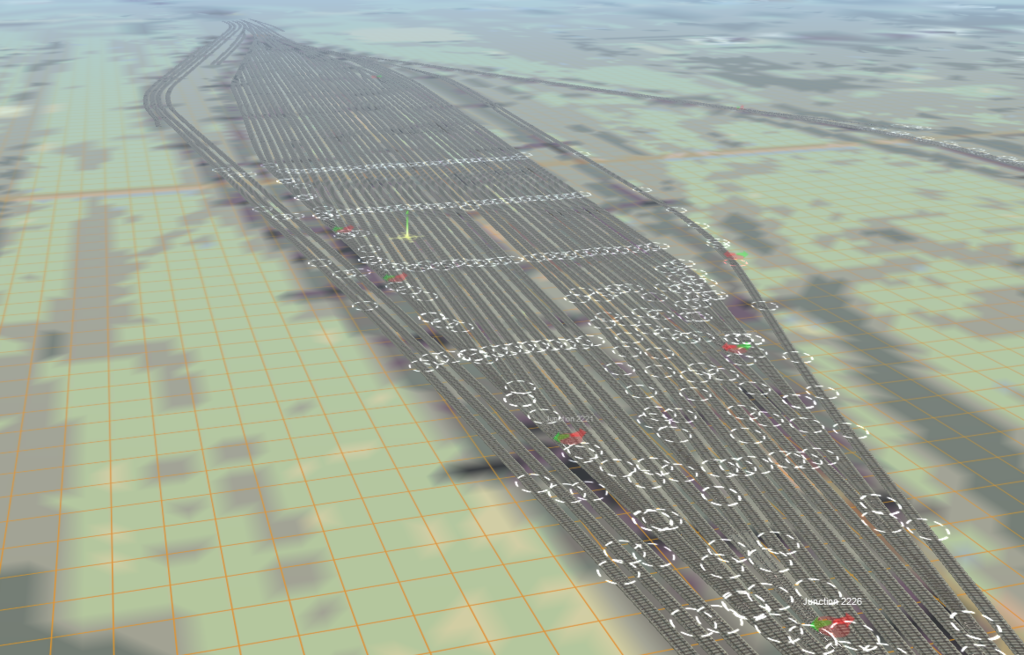
CSX Barr Yard
IHB Blue Island Yard
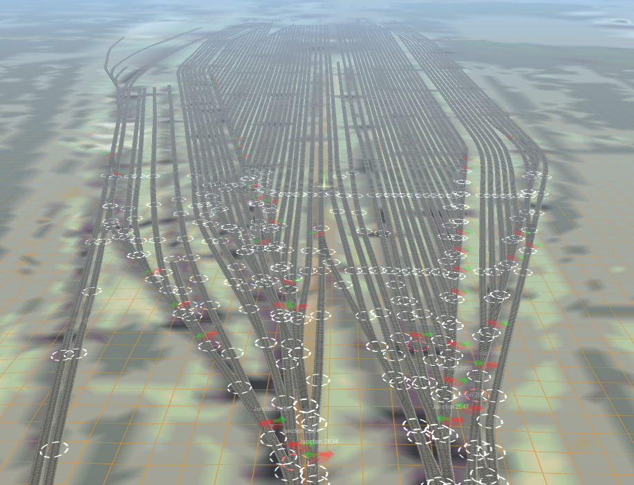
CP Bensenville Yard
BRC Clearing East
Overview of TransDEM Map

USS Gary Works Facility and CN/EJE Kirk Yard

AMTK 14th St Yard and Metra Roosevelt Yard

BNSF Logistics Park

UP Global Yard II

NS Ashland Ave Yard

CSX Barr Yard

IHB Blue Island Yard

CP Bensenville Yard
BRC Clearing East