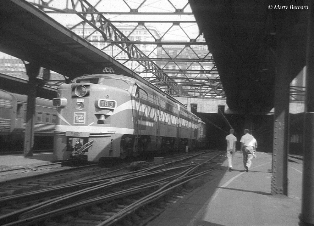
Oh ok its a great project your doin anyways are you focusing on just the passenger lines of the day?
I was thinking east is the IC electric and the CSSSB runs that to the original IC station....
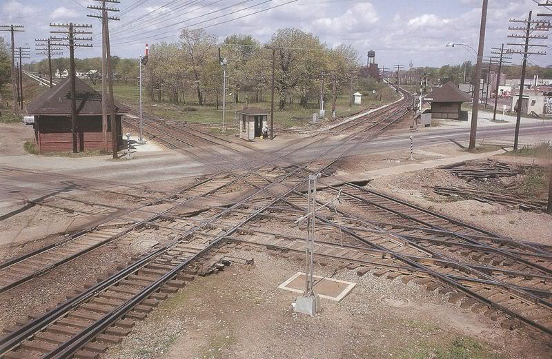
anyways for some better map studying for the era I use this site http://www.historicaerials.com/ you need to download silverlight also to view the maps all free on the USA MAP click on a green area and it will zoom into arial and topo maps
good luck with the project lookin fwd to more screen shots...
Dave =)
p.s. I just posted a few new progress pics in the SHOW OFF YOUR ROUTES/screenshots post...
I was thinking east is the IC electric and the CSSSB runs that to the original IC station....
anyways for some better map studying for the era I use this site http://www.historicaerials.com/ you need to download silverlight also to view the maps all free on the USA MAP click on a green area and it will zoom into arial and topo maps
good luck with the project lookin fwd to more screen shots...
Dave =)
p.s. I just posted a few new progress pics in the SHOW OFF YOUR ROUTES/screenshots post...
Last edited:

") ). All in all, it's good fun, and I have no idea how far I'll take it.
). All in all, it's good fun, and I have no idea how far I'll take it.