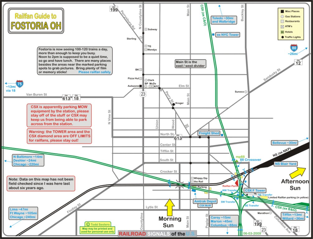
Fostoria is such a popular location for "foamers" that maps, websites, and now even am observation pavilion, has been developed just for rail-fanning. This very insightful and detailed rail-fanning map depicts the new $800,000 Rail-fan Park that will be opening soon on the C&O / B&O diamond (located at the red triangle in the above map). Fostoria will be having a rail festival on September 22.
Turning to the construction of this blog's route, "Fostoria Ohio, The Iron Triangle," I mentioned last post that Fish Lips's terrain only map of Fostoria <kuid2:59012:102980:1> was being used as a basis for construction. For those who may think this makes the track work a "cakewalk" (very easy), please think again. A number of problems surface when you try to apply trackage to such a map:
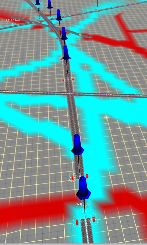
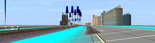
| First, there is the problem of over-exaggeration and coarseness of the "hand of god" (hog) textures that outline trackage. The cyan texture corridors are much thicker than the scale rail, and when it comes to several tracks in parallel, the maps parallel cyan texture paths are easily 75 feet across for tracks with a mere 15 foot spacing. Another problem is these hog cyan track textures overshoot their curvature. A good example is the north-south C&O line through downtown Fostoria. As seen in the screenshot, the cyan hog texture would have you believe the line sways a little to the east as it goes through the triangle. This is clearly not the case when we look at the above map and the google map in the previous post, the route does not swing east as the cyan would suggest. As you can see in this photo, I have had to adjust the trackage to match what aerial photos and maps "say" is correct. Another problem is the transverse gradient in lanes of parallel track. The terrain only map is insensitive to elevation differences cross-sectionally in a right of way. Although the parallel cyan routes are scattered wide apart, the corresponding width of ground occupied by trackage is the opposite - too narrow. Here is the problem at the Norfolk Southern grain siding to the west of the triangle:
Finally the edges of the map have shear 1000 foot cliffs which just need to be truncated all around the map's perimeter. In summary, hog terrain only maps are helpful, but do cause unexpected hours of labor. |
To end on a positive note, here is something that is working quite well, Boat's ATLS system, here shown where the B&O (CSX) crosses South Poplar Street:
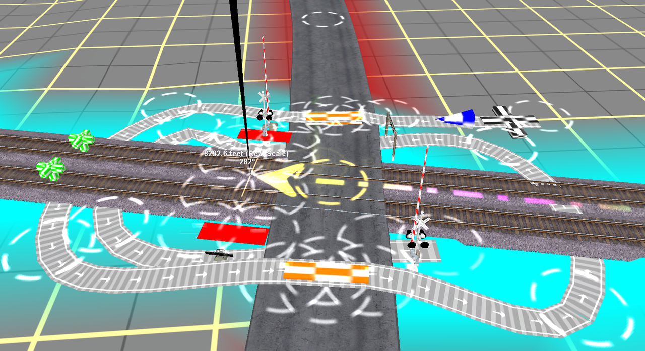
Since both the traffic stoppers and gates need only respond to a train approach, they are placed on the same, single, signal path (aka track eraser [I hate that name]) from only a single slave.
Next post will look at ASB, which prevents the Norfolk Southern from colliding with CSX.