Wich tools to design a route, consist for Trainz

honeybaobao

New member
Hi everyone,

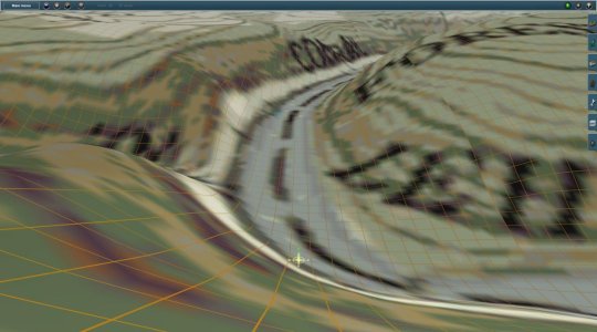
I have a question what tools need to design a route, rolling stock and more on Trainz.

I design the 3D part with SketchUp, Blender, 3DsMax, for routes information google earth pro, and of course Trainz.

Thanks for your informations and your help :):):wave::wave:
 
Welcome to the forums.

Google Earth Pro is great for looking at maps and also using the online versions for street views. If you want to build a prototypical route, you can use TransDEM. TransDEM (rolandziegler.de) The program costs about 30 Euros, maybe less.

With this you can import DEMs, topographic maps that are geo-positioned, combine the two and export a route ready for building.

Hi JCitron,

Thank you for your help and your precious informations. I bought TransDem and I suceed to found a tuto with lot of details but unfortunately it's a little old, so I can not downlod the DEM files, look like the webiste earthdata EOSDIS and earth explorer from USGS and doesn't more propose this type of file, or maybe I missed something because I know wich DEM i must download
 
TransDEM Takes time to learn, but it's worth it in the end. The tutorials are very helpful. The data on Earth Explorer is very difficult I think to download and use. Your best bet is to go to the your country's data sources. I'm sure France like Germany, UK, Canada, and other places in the world have sources like that. In addition to the DEM data, you also need Geo-referenced images. These images, usually TIFF files, have special geo-location information in them. Having just an image or map doesn't work. With the embedded geo-information, you can position the maps exactly on to the DEM where you want to put them such as I did here:

attachment.php
 

Attachments

  • jcitron_20150103_0002.jpg
    jcitron_20150103_0002.jpg
    93 KB · Views: 84
Hi finally, I begin to work on the route, and I bought Transdem, but one problem come out, I followed the tuto from Scratch, very nice, clear, the tracks and the road are on the editor, but not the tiles, for information I based from Open Street Map, like the tuto, and find out, that the precision for Data are more higher, but the tiles didn't appeart, but Tracks, Roadway no problems, I guess it's maybe a settings problems, I am not sure.

Hope someone can help me and then I can go in the next Step


wwVN18H
0yRMFPP
0yRMFPP
 
Back
Top