kyrebel_44
New member
Which should be 1st ...build the terrain or lay track.....just wondering!
Follow along with the video below to see how to install our site as a web app on your home screen.
Note: This feature may not be available in some browsers.

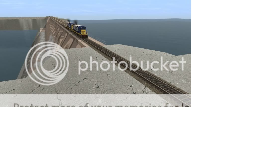
I am stuck using Goggle Earth for now....Here is a pic of a place I have been wanting do In trainz for a long time. It Barkley Dam area around Graind rivers, KY.
")
OOOHHHH! Paducah and Louisville - If you want a DEM for most of the PAL I have one, shoot me an email...
Back on-topic: Lay Track > Sort out the terrain > Lay roads > Sort out the terrain > Spline Grass (if you use it) > Rough in the Ground Texture > Trees, Buildings etc > Detailed Ground Texture > Tweak
Andy
You'll laugh, but instead of laying track first, I lay down the route using the catenary (overhead wire) spline that will be used - specifically, the multi-track splines available on DLS. I then lay my track under the wire, ensuring both that the contact wire stays well centered between the rails and that the track spacing is correct. (In other words, I use multi-track catenary splines as a track gauge.) This is more "track first" than scenery or topography first, but I also do topography (especially rivers, coasts and shelving foothills) by laying track, raising or lowering it, then deleting the track.
Which should be 1st ...build the terrain or lay track.....