Some screen shots of my latest route building work-in-progress in TS2009.
1. Crewe Basford Hall yard. Note the scenery tiles created using Transdem.

2. Holmes Chapel viaduct. Here we see the automatically generated textures. The white line is the line of railway which is a little off compared with the scenery tile image but that's due to the way I drew it as precision in textures was not that critical. However to be able to pre-texture 100 or so boards is a great time-saver.
The viaduct should have 23 arches - still looking for a model with the right dimensions.

3. Manchester Airport. What a pity that image tiles can't somehow be painted on the baseboard.

4. Manchester Longsite depot

5. Manchester approaches to Central station. The canal is the Bridgewater. Foreground line is the former Manchester, South Junction and Altringham which heads up this image towards Deansgate and Oxford Road stations. The lines on the higher arches are the former Cheshire Lines Committee route that became the Manchester Central to London Marylebone route through the Peak District now sadly closed. The front most higher viaduct now carries the Metrolink trams.

6. Manchester Evening News Arena straddles the through platforms of Victoria Station. The Irwell River at left flows under the arches that were the site of Exchange Station - long vanished. Metrolink lines enter Victoria bottom right and exit top right.

7. Manchester Oxford Road

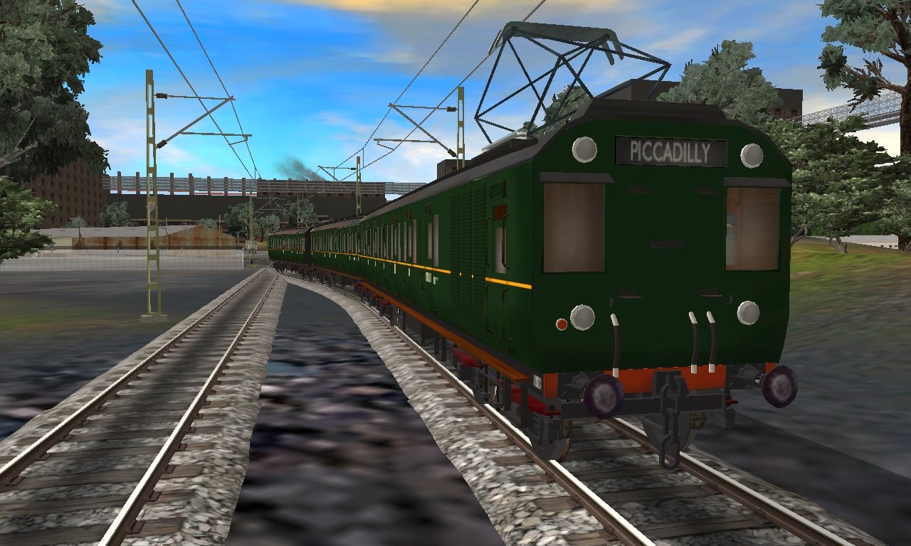
8. Manchester Piccadilly with Mayfield Station - long closed but still surviving - in the background.

9. Crewe north junction

I like to be able to operate trains ASAP during route building so the Longsite to Piccadilly to Oxford Road and west is already signaled and operational.
If anyone would like to join me in this project please let me know.
Cheers
Segy
1. Crewe Basford Hall yard. Note the scenery tiles created using Transdem.
2. Holmes Chapel viaduct. Here we see the automatically generated textures. The white line is the line of railway which is a little off compared with the scenery tile image but that's due to the way I drew it as precision in textures was not that critical. However to be able to pre-texture 100 or so boards is a great time-saver.
The viaduct should have 23 arches - still looking for a model with the right dimensions.
3. Manchester Airport. What a pity that image tiles can't somehow be painted on the baseboard.
4. Manchester Longsite depot
5. Manchester approaches to Central station. The canal is the Bridgewater. Foreground line is the former Manchester, South Junction and Altringham which heads up this image towards Deansgate and Oxford Road stations. The lines on the higher arches are the former Cheshire Lines Committee route that became the Manchester Central to London Marylebone route through the Peak District now sadly closed. The front most higher viaduct now carries the Metrolink trams.
6. Manchester Evening News Arena straddles the through platforms of Victoria Station. The Irwell River at left flows under the arches that were the site of Exchange Station - long vanished. Metrolink lines enter Victoria bottom right and exit top right.
7. Manchester Oxford Road
8. Manchester Piccadilly with Mayfield Station - long closed but still surviving - in the background.
9. Crewe north junction
I like to be able to operate trains ASAP during route building so the Longsite to Piccadilly to Oxford Road and west is already signaled and operational.
If anyone would like to join me in this project please let me know.
Cheers
Segy
 Good Luck...
")