bigboy4014
East Broad Top Historian
Keyword there is "Relatively"...LOL
one rule i've learned in my life...never trust you sister when she says "you'll be safe"
Follow along with the video below to see how to install our site as a web app on your home screen.
Note: This feature may not be available in some browsers.
Keyword there is "Relatively"...LOL
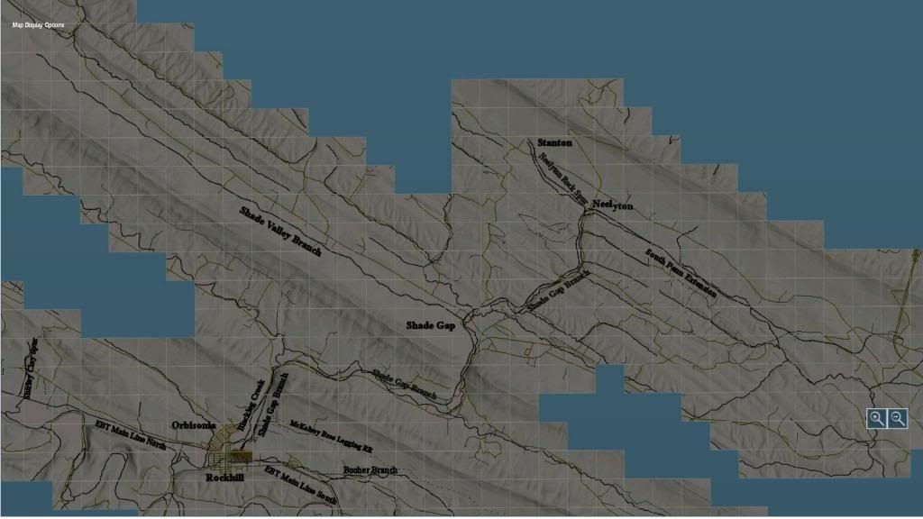
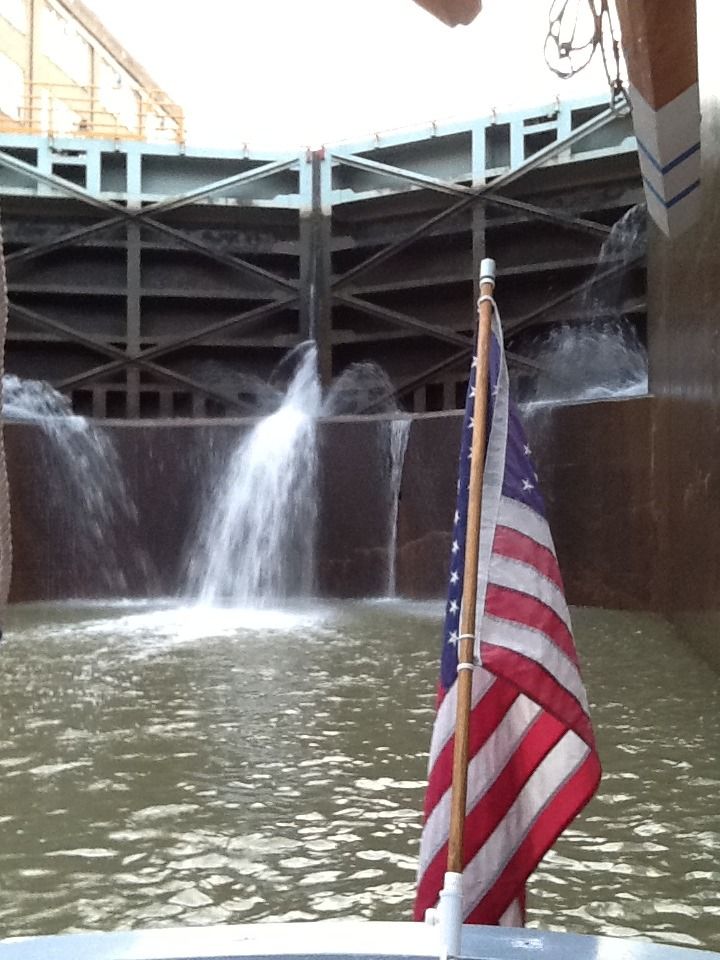
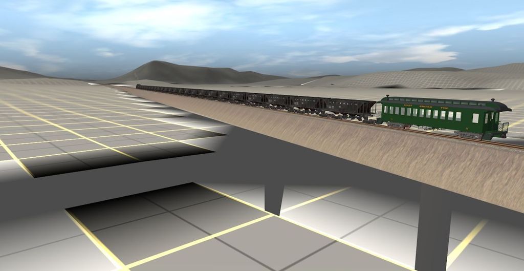
This is one reason I have given up on Trainz ... people wanting something ... something that they can not do for themselves ... so they ask of others ... to do their bidding for themi can't wait to see the pictures of the wye at neelyton
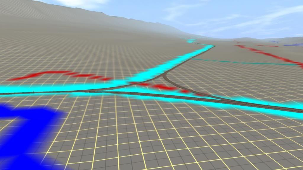
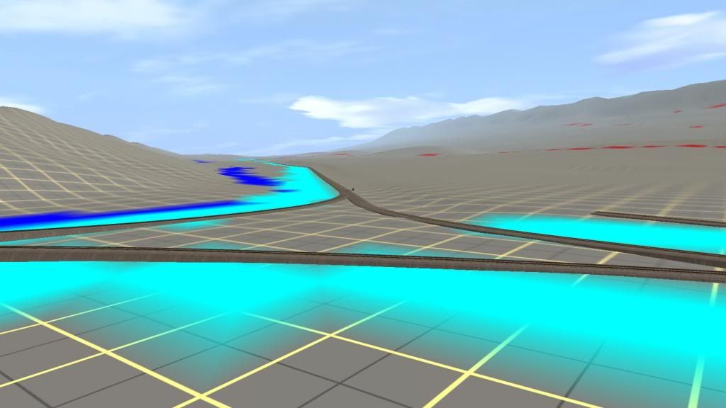
bob i would also like to have a copy of that map to play around with since clearly the project i was working on no longer existsWell the wye at Neelyton is there on my route at least the main and nw legs. I always leave 1 spline section out where a turning loop is formed due to the logic I programmed into the Cad2trk utility in setting track directions. I know I put the NE leg in the wye at Shade Gap when I did some coarse terraforming to match the grades built into the track. But you might have to wait a bit as I didn't take No 17 that far.
Re the gators - I was close enough to 2 smaller ones to get some really nice pics. Some other people went up a lot closer - me I just preferred to zoom in with the camera lense, thank you, that was all the closeness I needed. When we got there, there were about 2 dozen larger ones on the other side of the small dam. The pics I took of them were looking right into the sun so they're not as impressive.
@Cascaderr - are you still interested in the 04 version we talked about? The cdp is about 33 megs. PM me.
Bob Pearson
So you claim to do all the research ... And I do all the hard work on tracklaying ?This is one reason I have given up on Trainz ... people wanting something ... something that they can not do for themselves ... so they ask of others ... to do their bidding for them
well it's not my fault that your decided to work on the project to begin with and then decide to opt out not even halfway through, and it's not like i haven't done anything for this project myself, what about all the information that i've compiled for people like you, bendorsey and chance clayton so that
1. you had all the things you needed to build the map
2. so bendorsey had all the stufs needed to build the buildings accurately.
3. chance had the necessary components needed to build the EBT mikado's from scratch.
before you open your mouth think about how i made so much of this project possible at the risk of my own life.
So you claim to do all the research ... And I do all the hard work on tracklaying ?
And I owe you this route, and owe you continual work ... for free ... as I am not getting paid by you, at all.
You sound just a tad demanding ... for someone who can't lay your own track ... and you depend on others to do all the hard tracklaying work for you.
I just got sick and tired of all your continual, perpetual, demands, and all of your tyranical rants, demanding of me, that we get the work done by a certain date, ... I am sure that Bendorsey got a tad tired of 40 continual E-Mails per day, telling him his work was wrong, demanding that he re-do something, that he already fixed 5 times previously, for you ... So I don't work for you anymore ... DIY !
Bob: The 04 route would probably give me ideas on what things I have wrong ... but then again I won't be editing your 04 route ... So, It really doesn't matter ... I have the whole EBT RR route in 06.
Great work though, Bob ... Keep posting screenshots