The KO&G Route(Kansas, Oklahoma and Gulf) Muskogee, OK to Dennison, TX

OKCTrains

New member
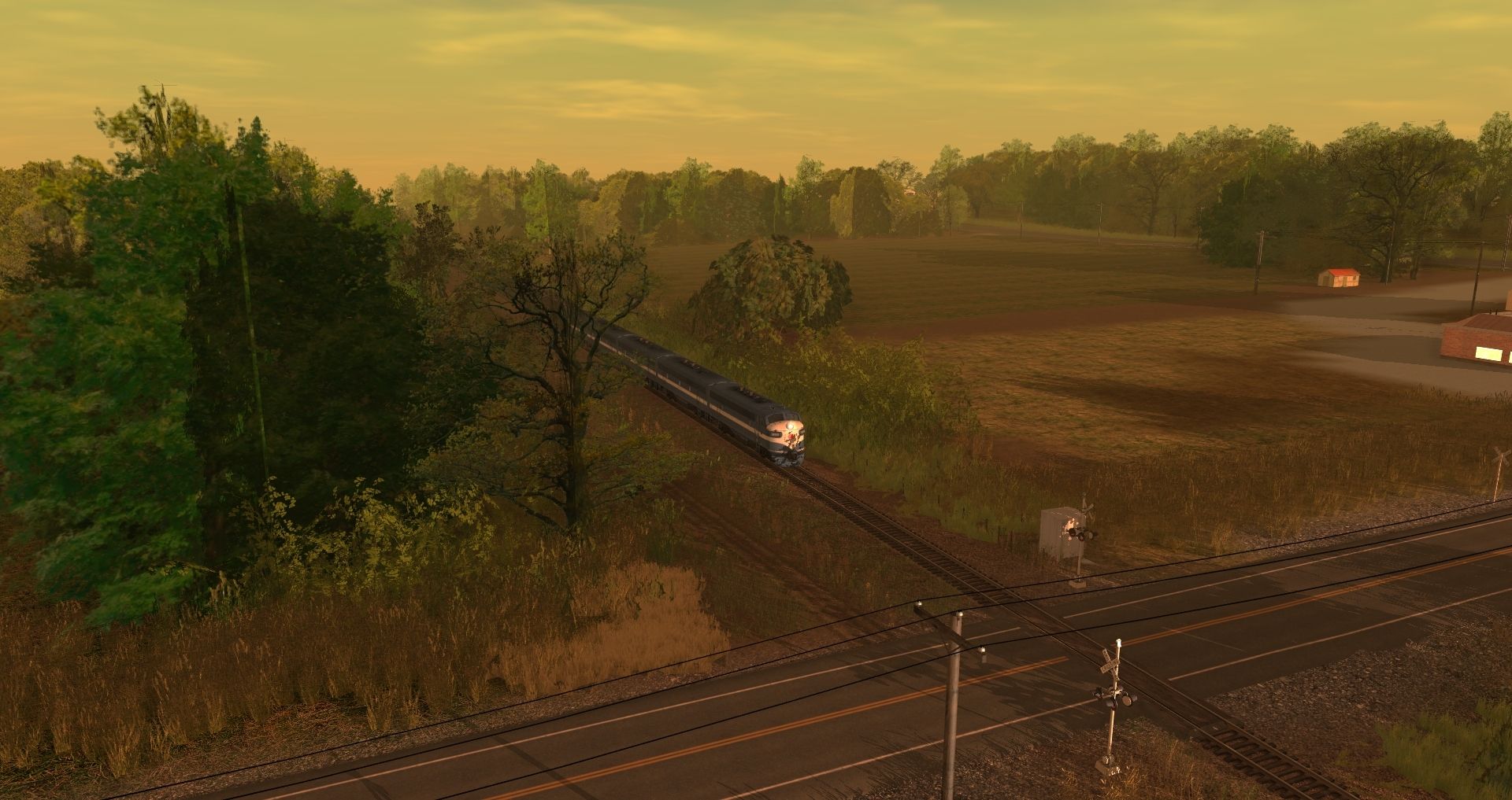
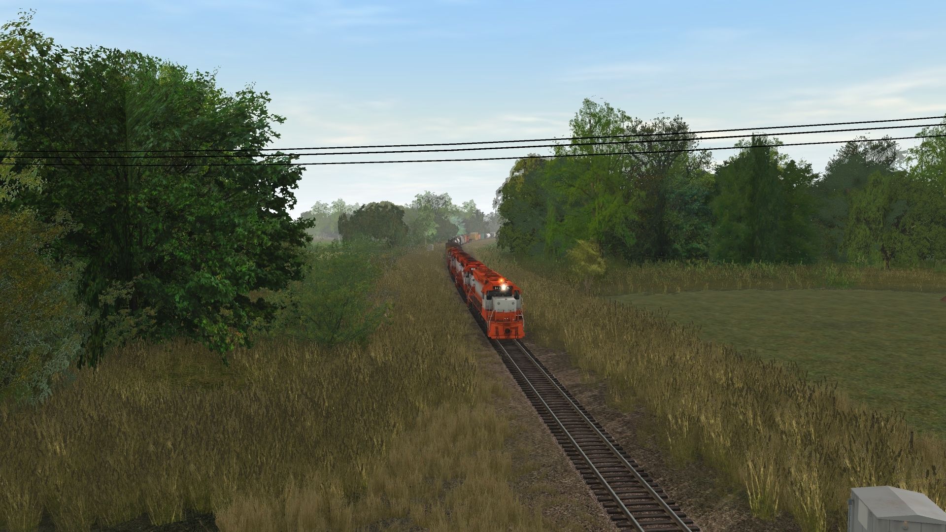
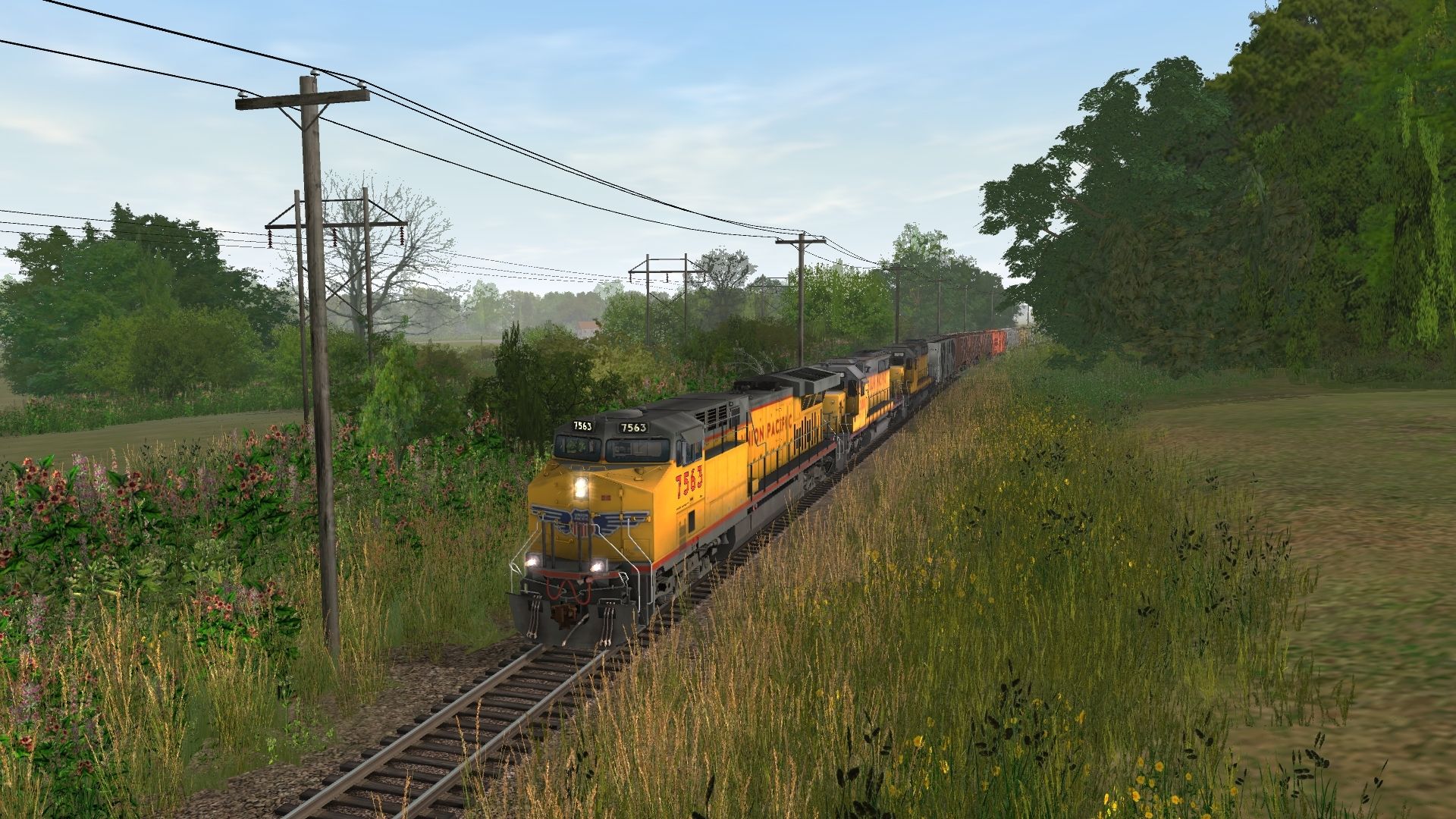
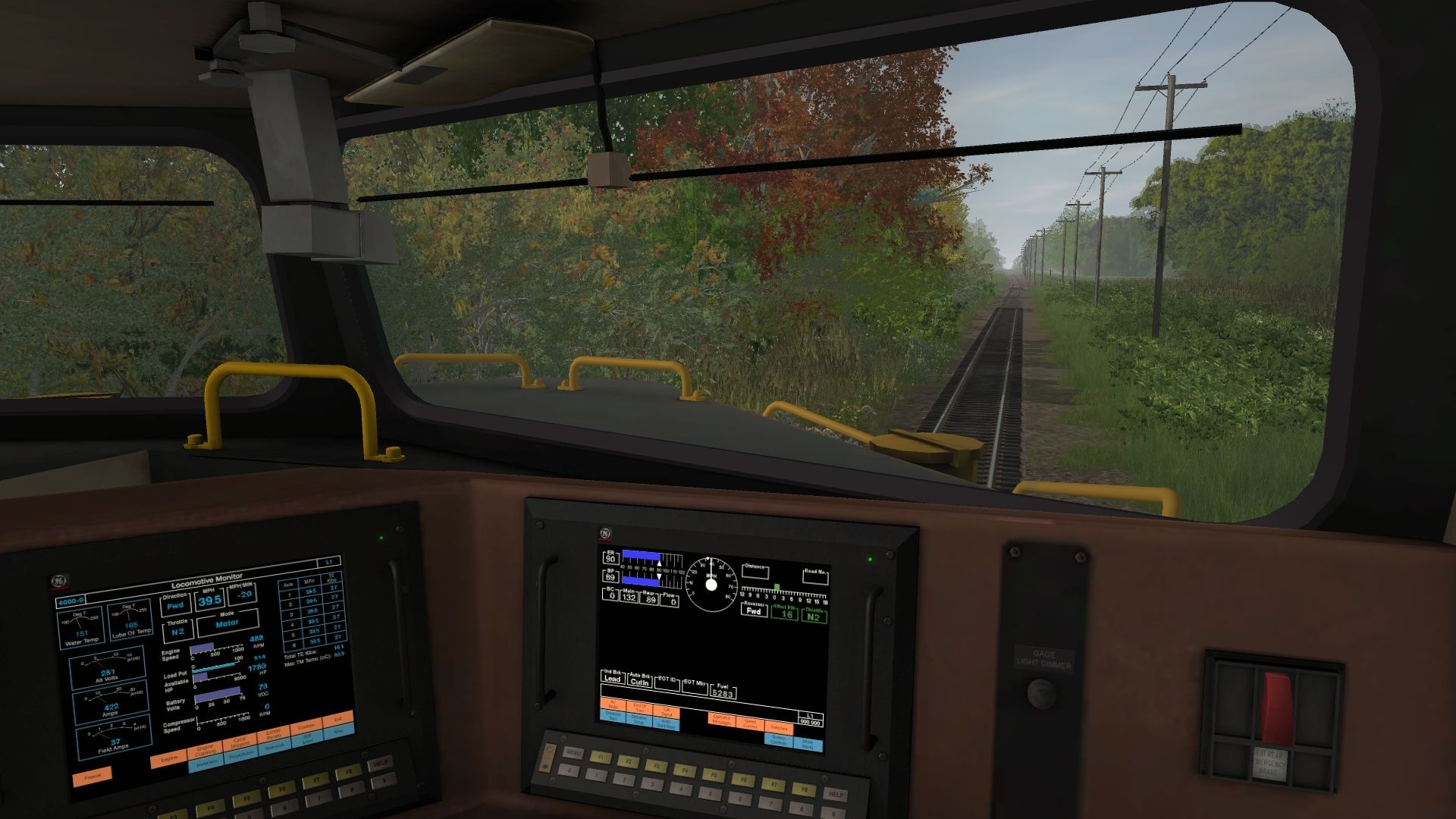
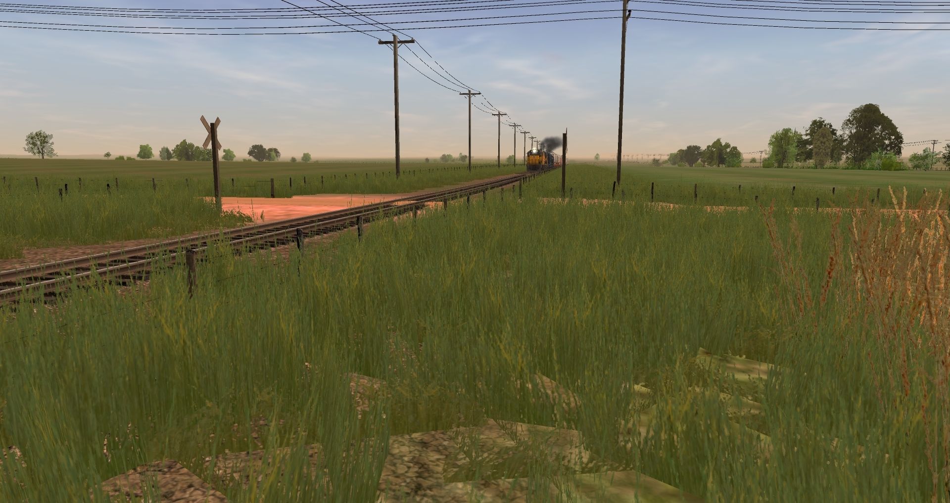
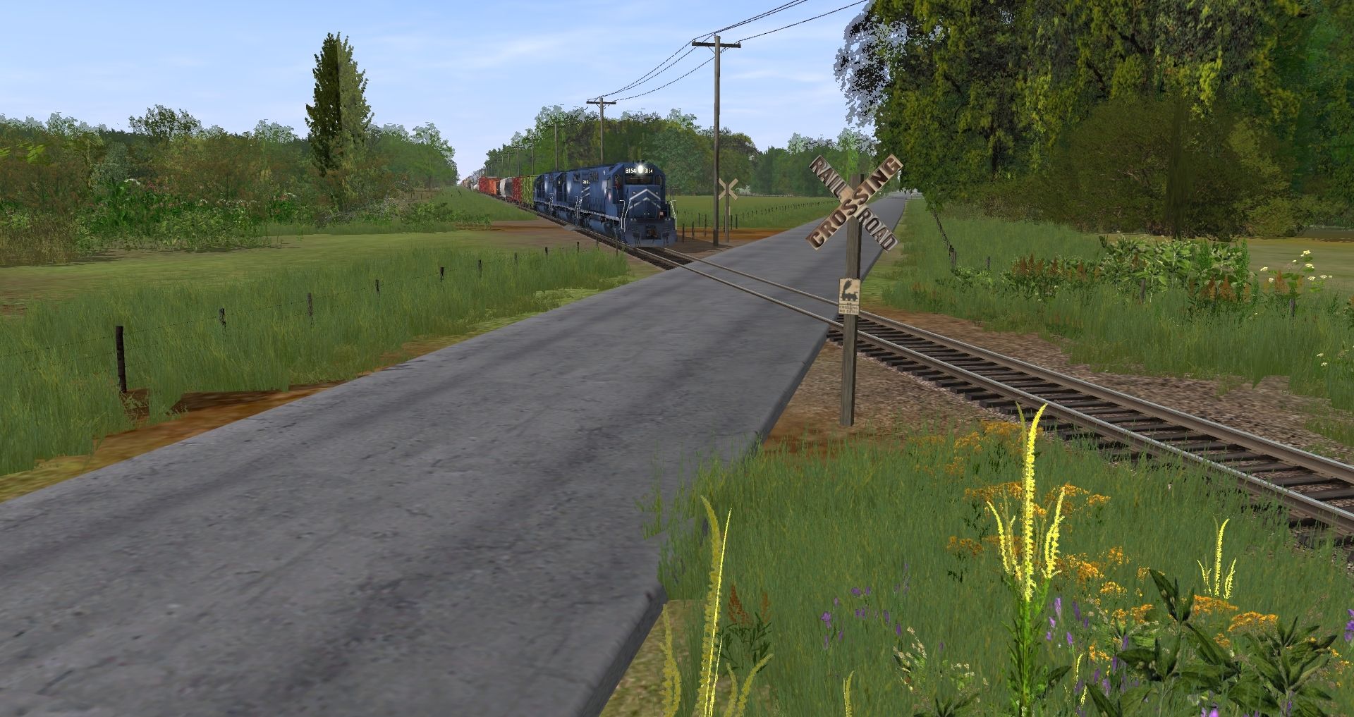
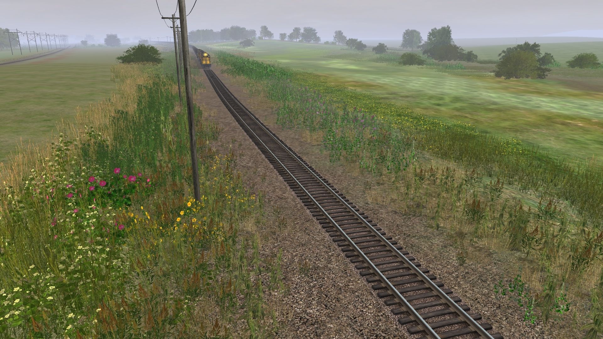
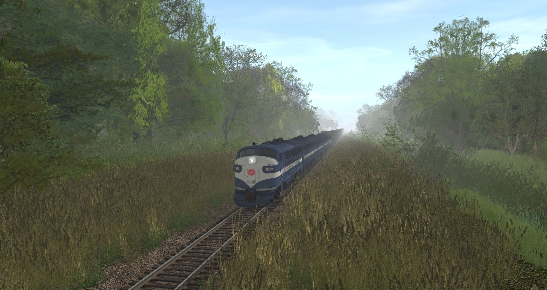
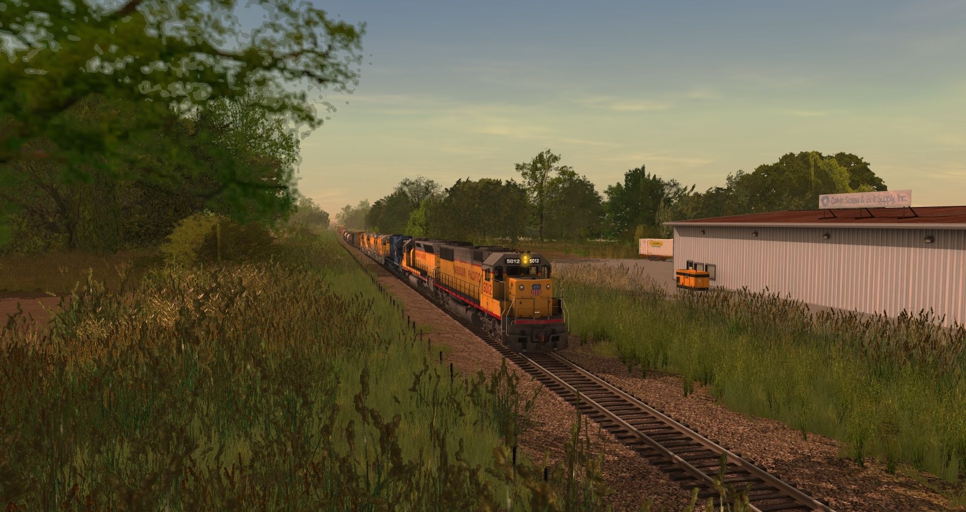
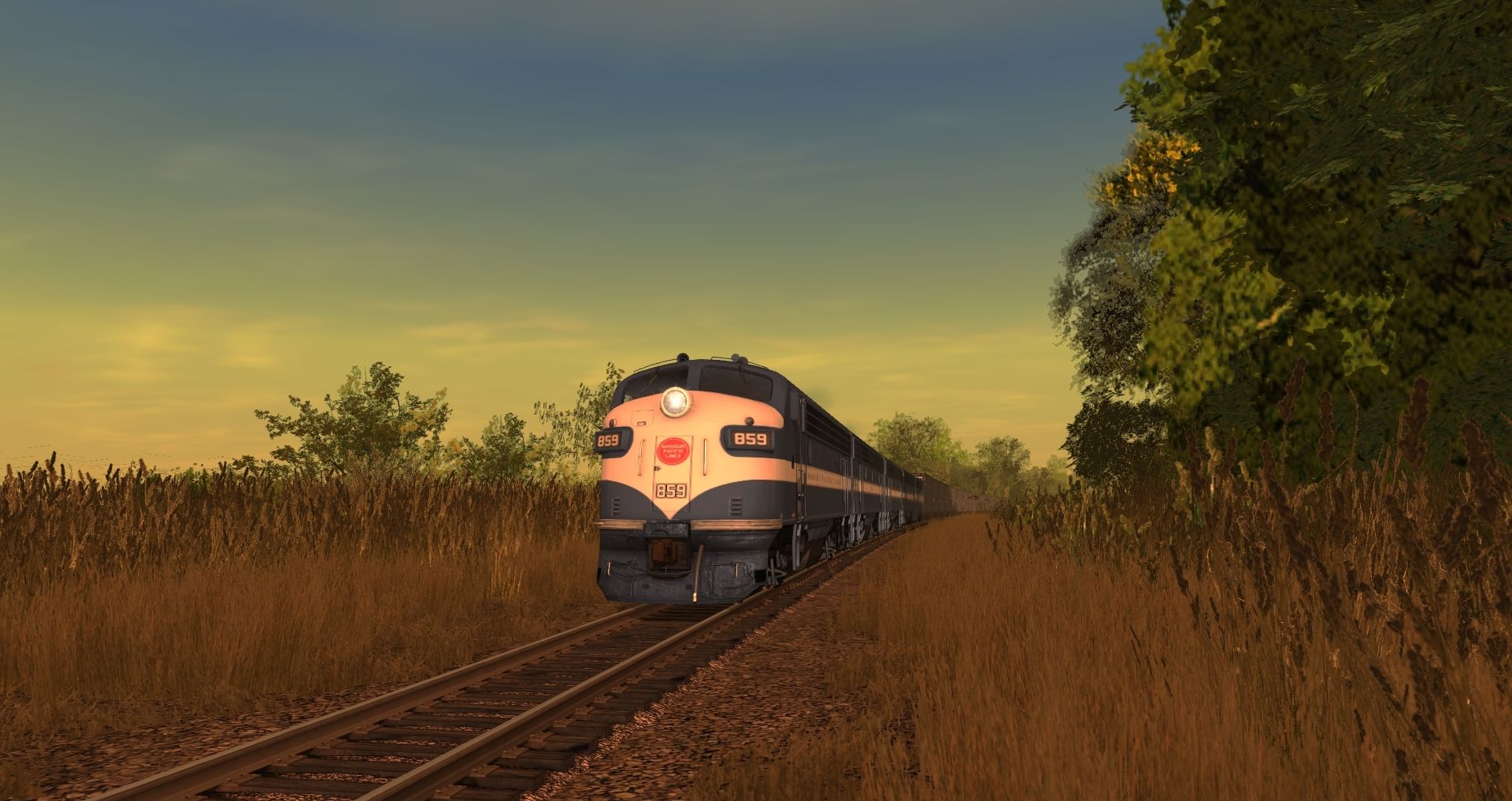
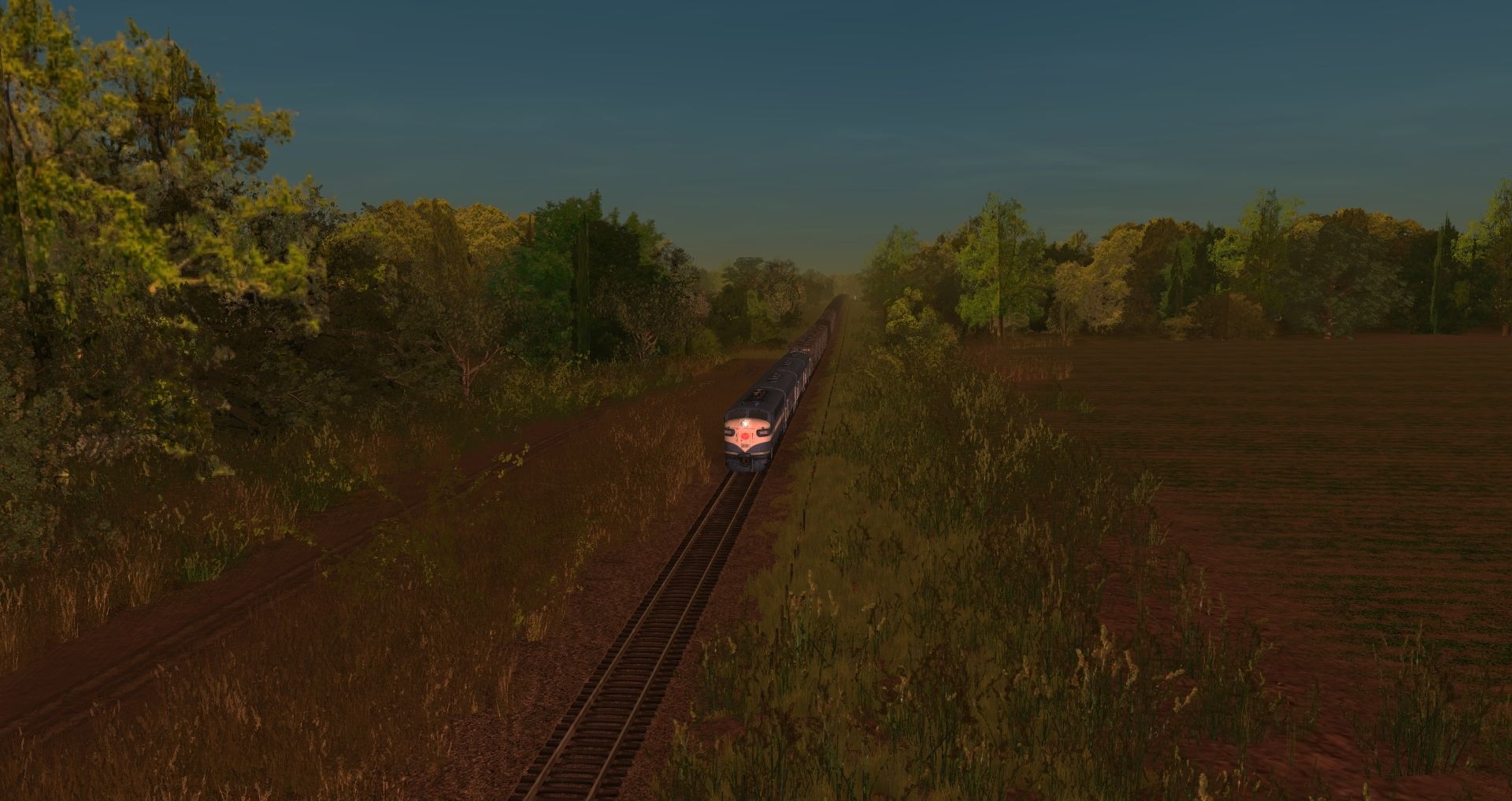
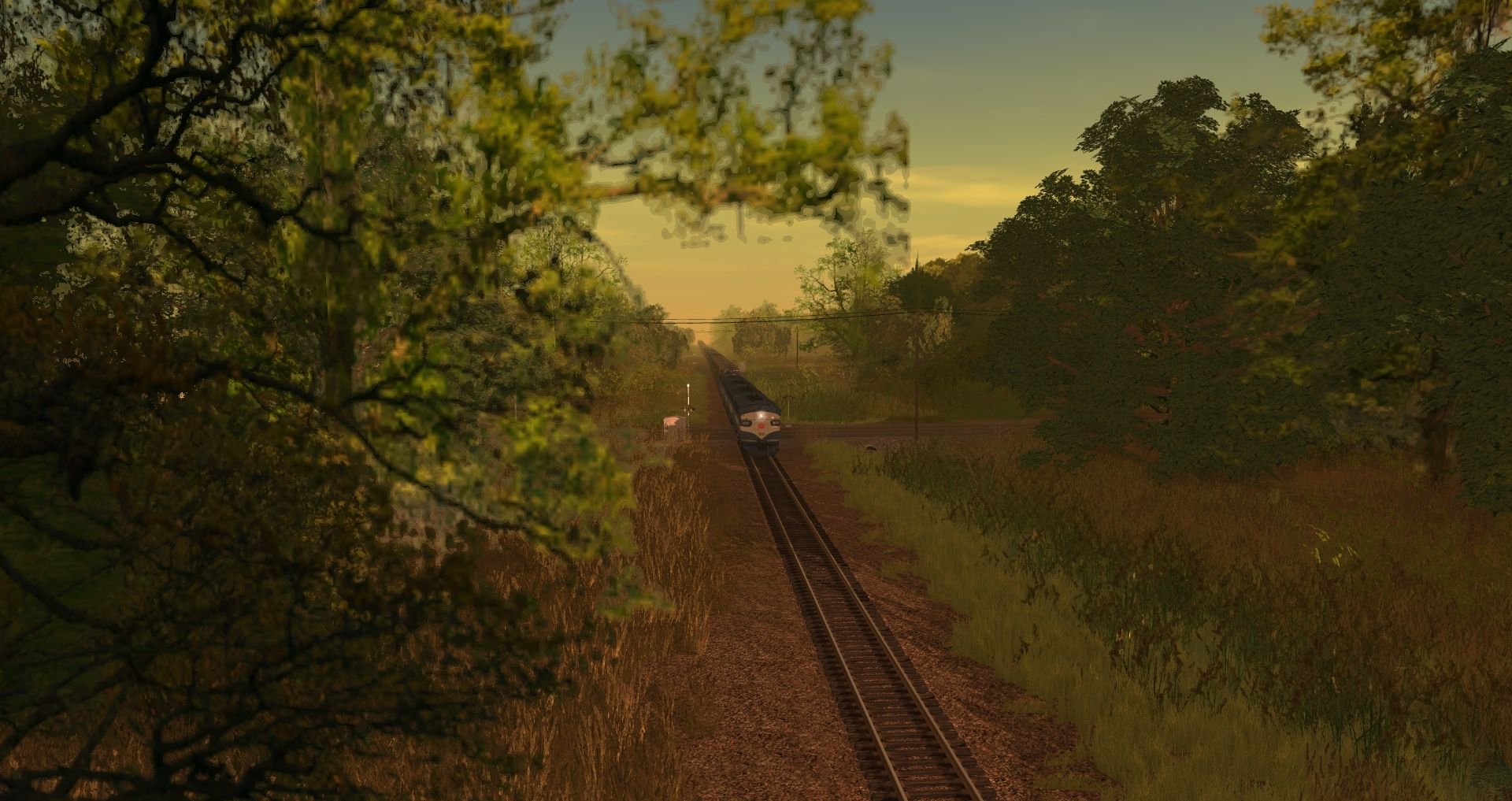
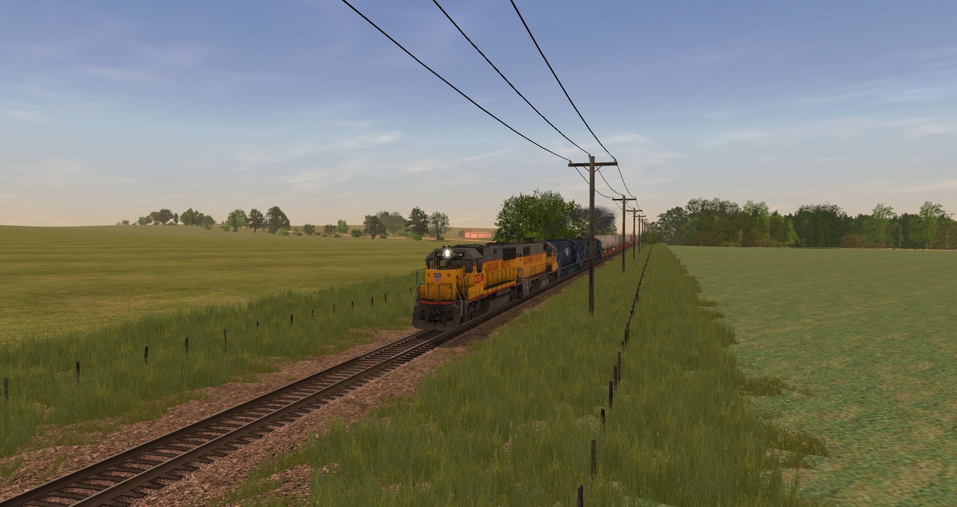
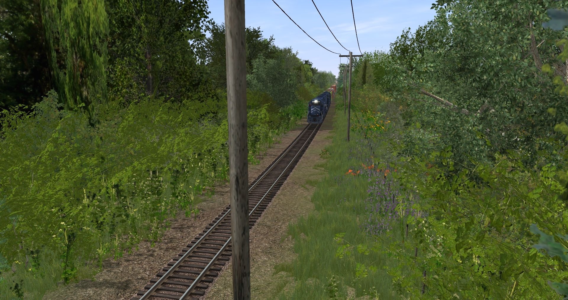
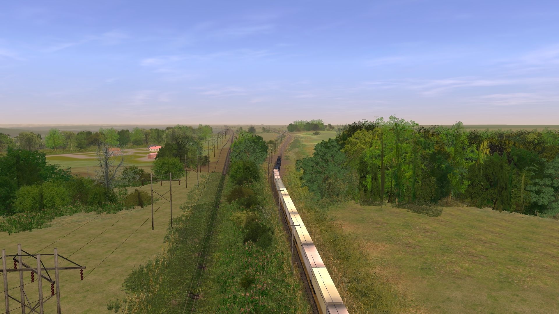
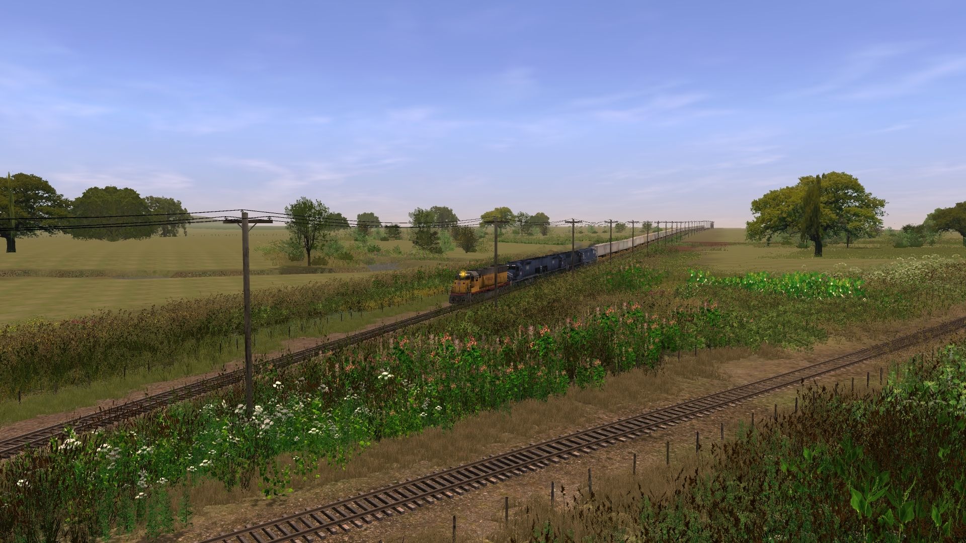
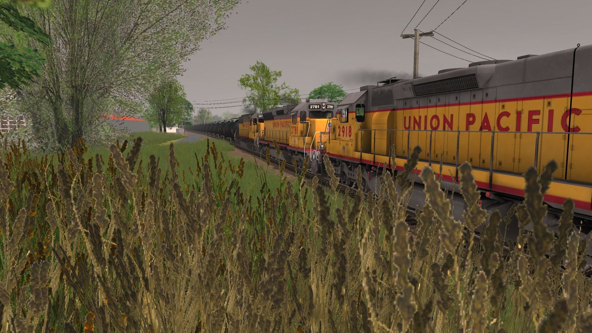
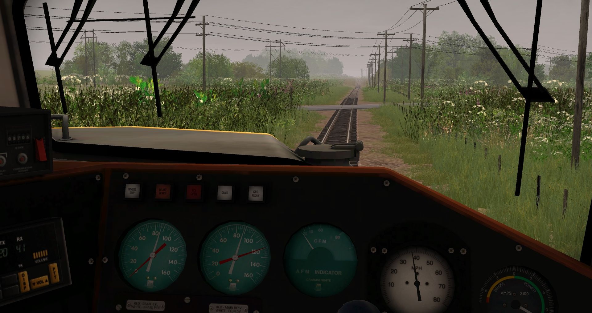
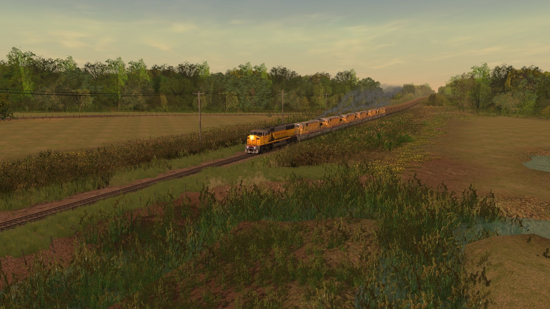
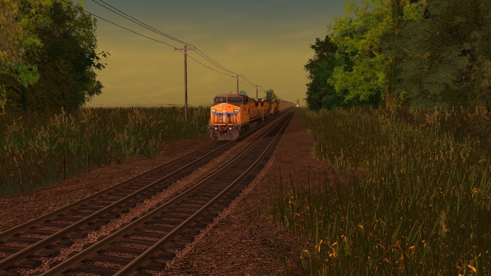
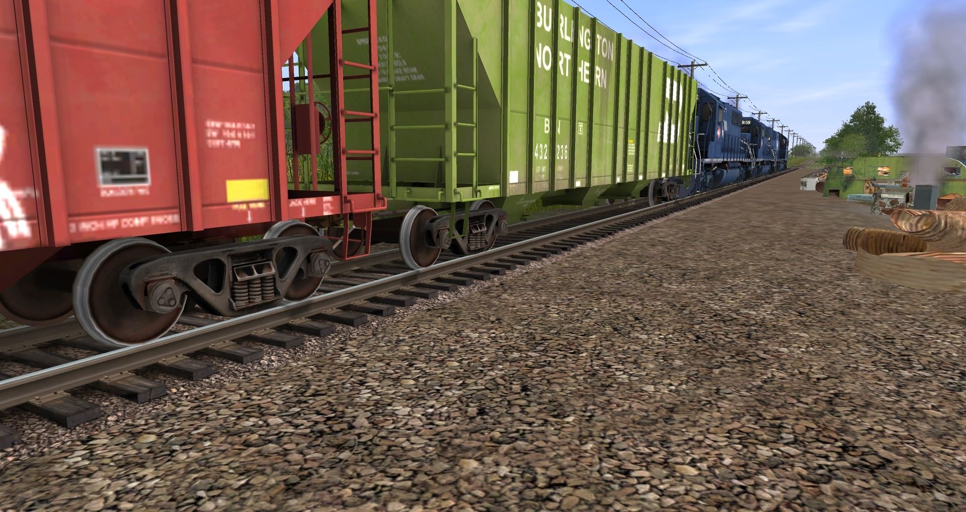
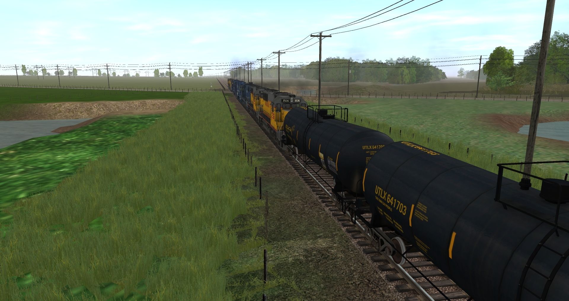
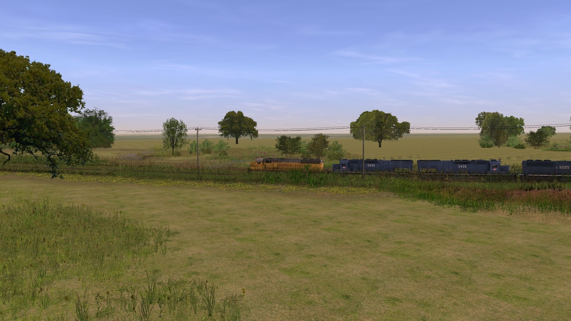
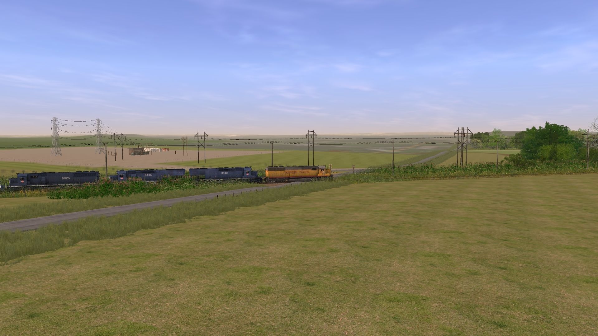
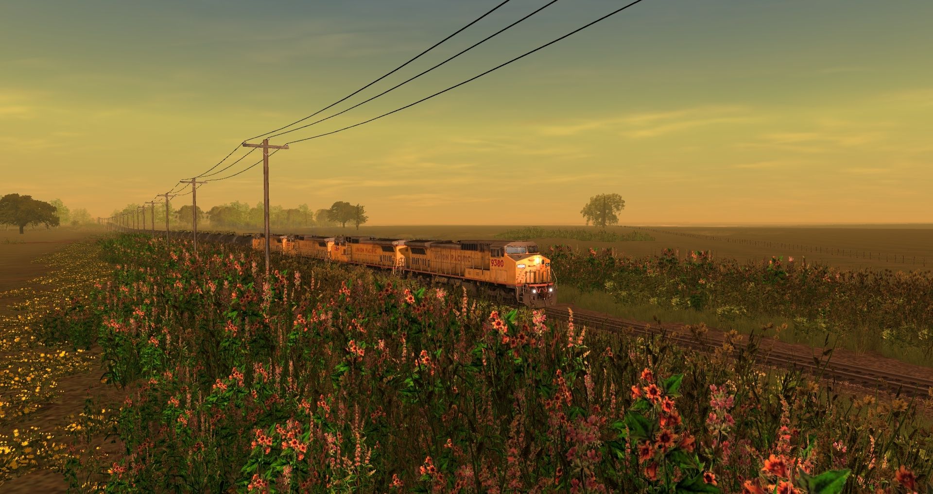
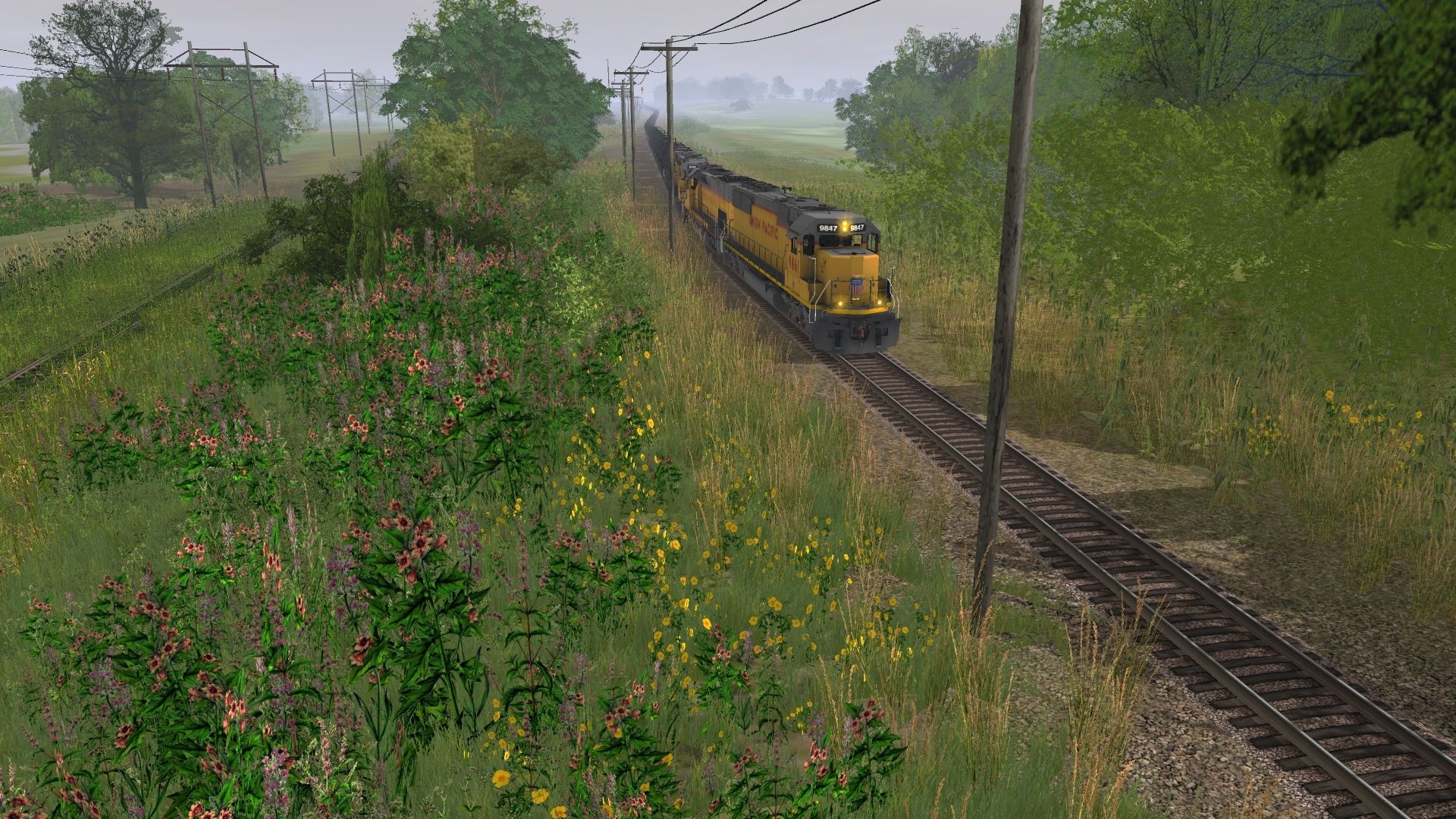
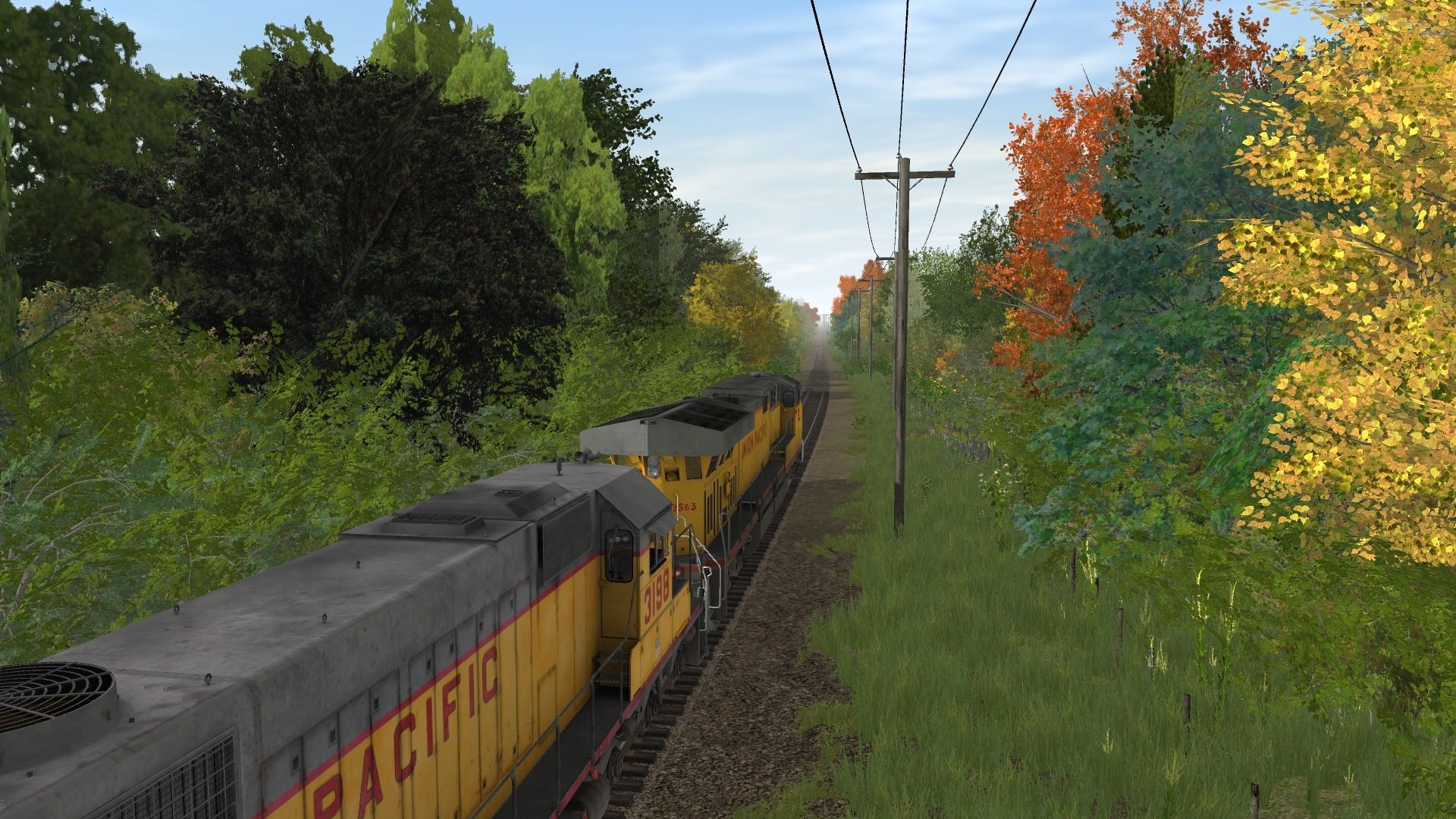
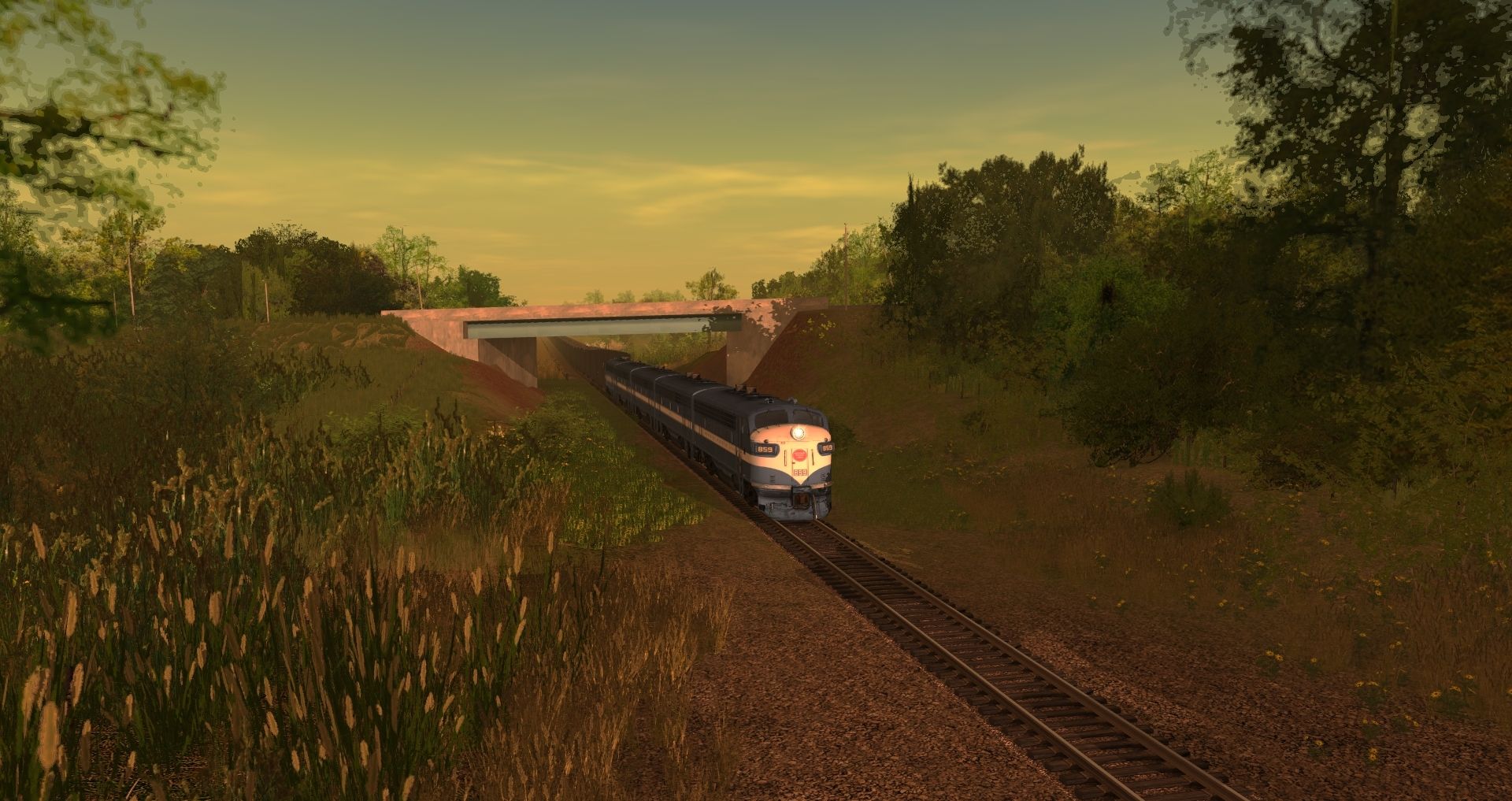
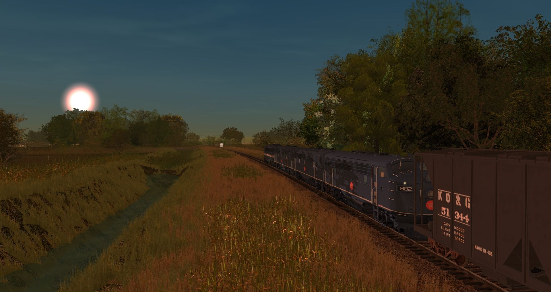
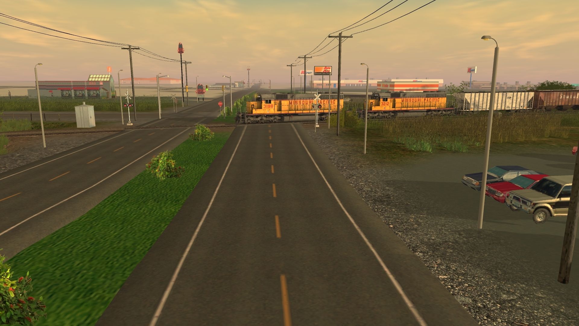
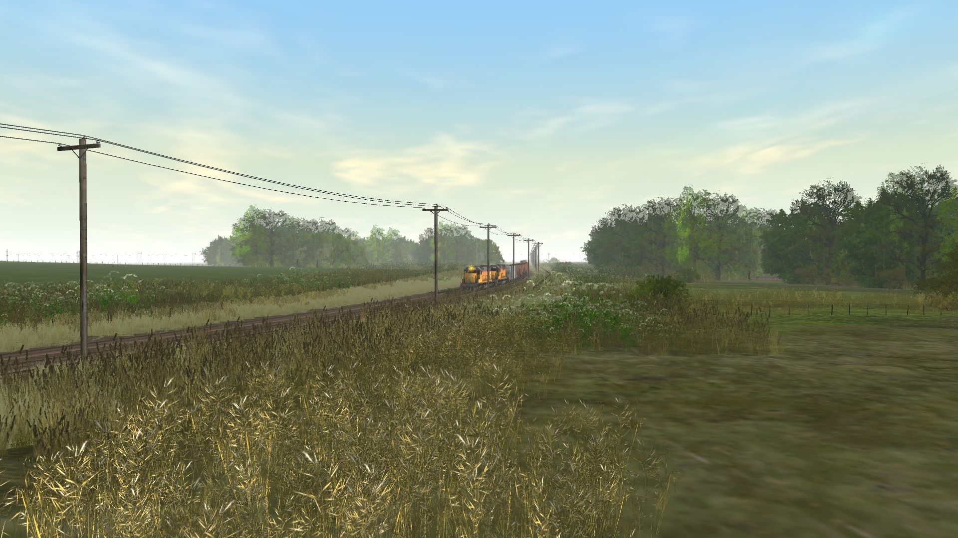
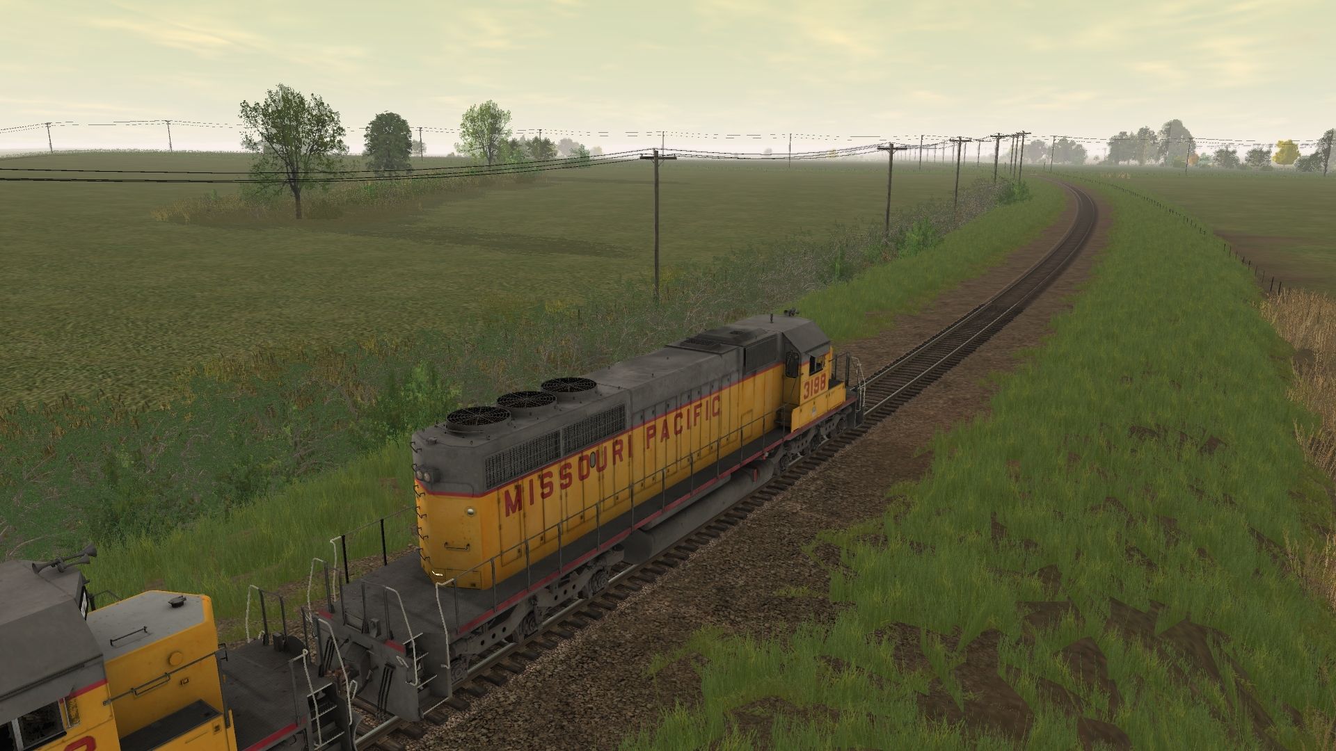
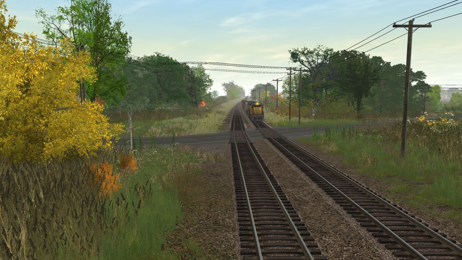
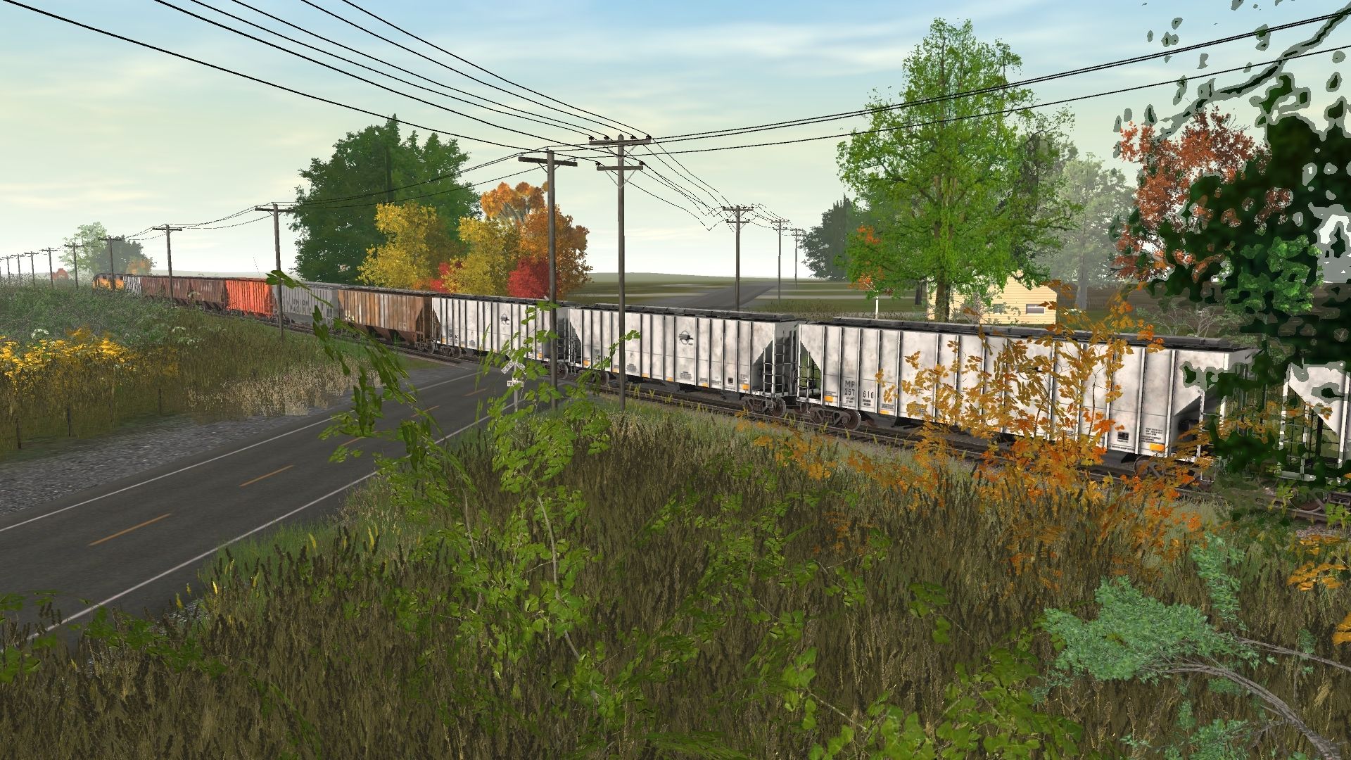
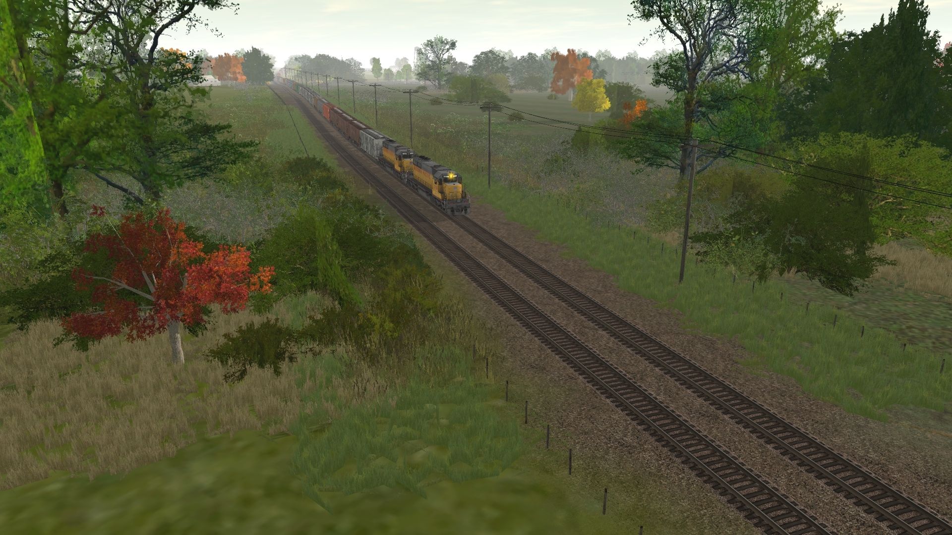
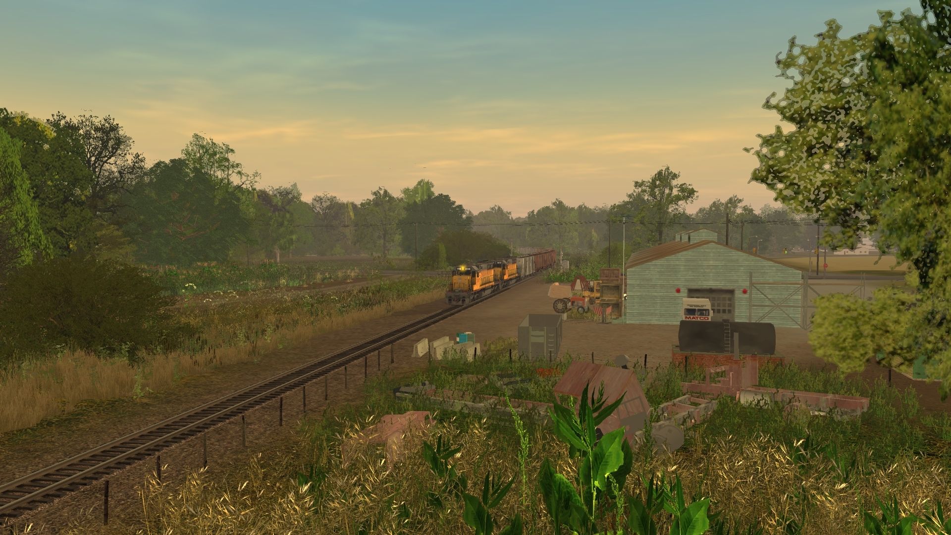
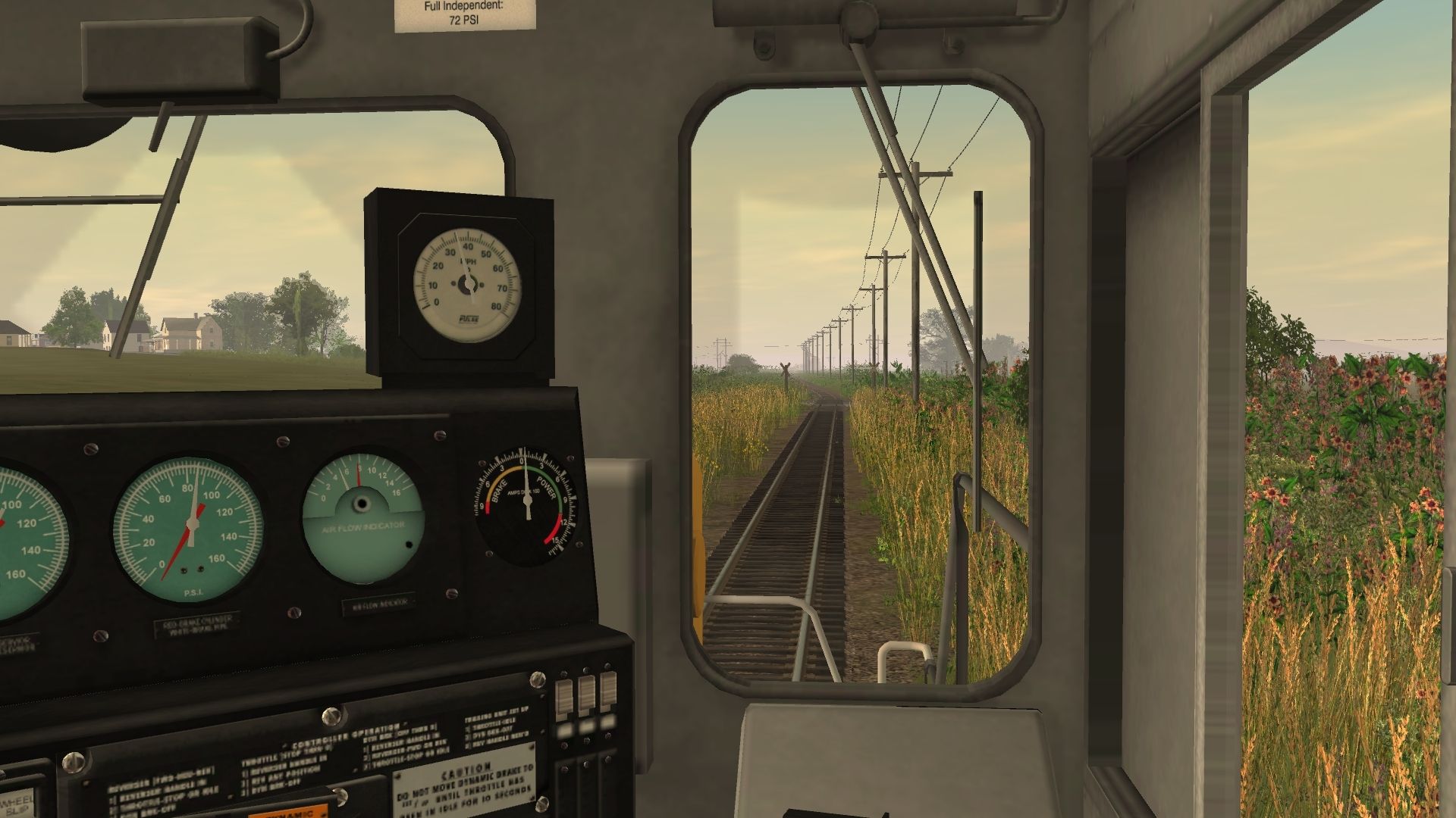
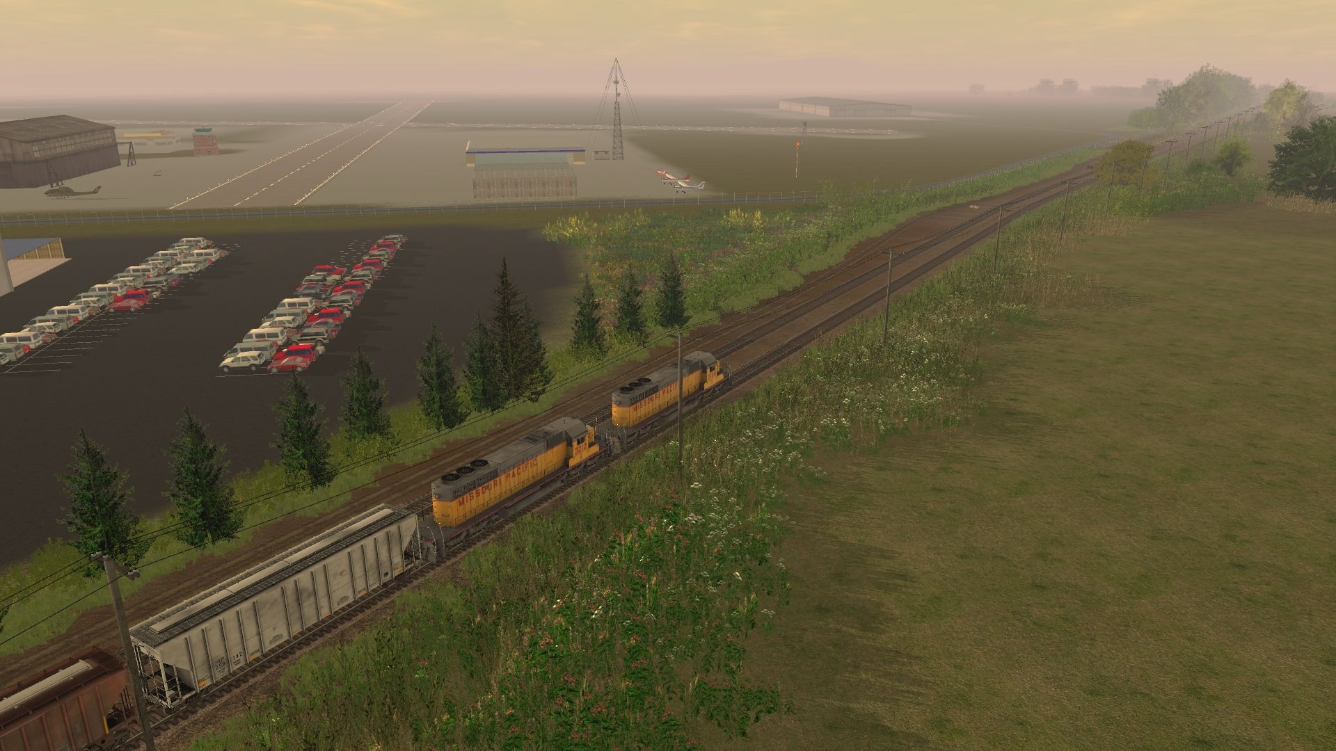
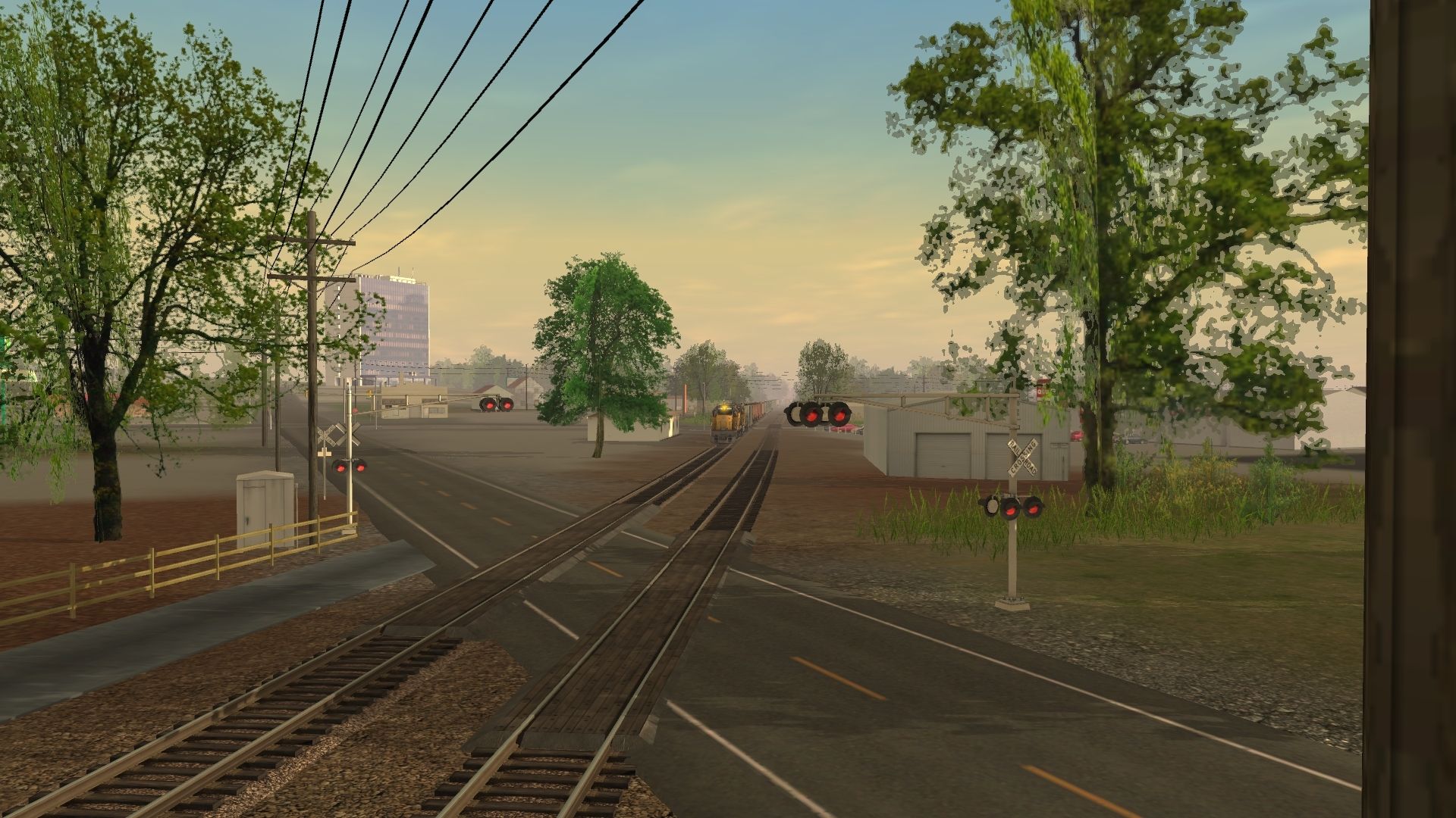
Here are some screenshots from the Kansas, Oklahoma, and Gulf route from Muskogee, OK to Dennison, TX I've been working on. The route was a through line for Missouri Pacific who took over the KO&G in 1964 and it became the Oklahoma Subdivision. Union Pacific ran the route up to April 30, 1989 and then the line was abandoned. It was taken up in the 1990s and only a few hundred feet remain in service in Henryetta, OK to service the glass plant by BNSF. Frisco had trackage rights over a portion of the line in the 1970s from Henryetta to Muskogee. I'm building the route as a blend of modern along with the old. Longer siding lengths to accommodate unit trains of today yet no signals as the route was not signaled and limited to 49mph. I have the DEM for the entire route and it is a work in progress. I will do the route from Claremore, OK on the MoPac Van Buren Sub south to the turnoff at Okay, OK through Muskogee all the way south to Dennison, TX. It has been a long process but I've got 26 miles done so far. When done, I will upload to the DL Station for all to enjoy.


My-Trainz-Screenshot-Image.jpg

My-Trainz-Screenshot-Image.jpg

My-Trainz-Screenshot-Image.jpg

My-Trainz-Screenshot-Image.jpg

My-Trainz-Screenshot-Image.jpg

My-Trainz-Screenshot-Image.jpg

My-Trainz-Screenshot-Image.jpg

My-Trainz-Screenshot-Image.jpg

My-Trainz-Screenshot-Image.jpg
 
Nice work, and your Scenery is top notch, this layout will be great when you finish it!

I like the shadows you see as Trains pass in heavy Foliage areas, compliment to as to how natural it looks.

Thanks for sharing with us. And we are lucky to have Route Builders with Skills such as yours!
 
Thank you, both! I'm trying to make it as realistic as possible with all the correct details of tree locations, fence/property lines, ponds, creeks, correct building counts and locations near the route, everything. The route in the real world as well as this one will be, had quite the range of grades up to 2.0% in some areas. I will continue to post pics as it progresses. Thank you again for the kind compliments!
 
VERY nice route. Looks realistic. But why would you want to use "billboard" trees?

Generally speaking, a route using mainly billboard trees tends to provide better performance than those using primarily speed trees, especially for people on lower end pc's and I suspect that this may be the case. I would recommend he use some better billboards, most of those pictured have kind of blurry textures.
That said, it's a very nice route. Keep it up.

I would agree better billboard trees would make this beautiful even better. I would suggest using bbf11's forest autumn and summer sets.

Cheers, Qaz
 
Thank you all for the compliments! Performance was the reason as the further south I get, the route went through some very heavily wooded areas in southeast Oklahoma. The route will be almost 200 miles total when I'm done. I'm running T:ANE on the ASUS laptop with Windows 8.1 Intel Core i7-4860HQ @ 2.4GHz 32GB RAM 64-bit OS x64 processor with NVIDIA GEFORCE GTX 980M. I'm using 6000m draw distances with graphics settings on normal or low. T:ANE gets gameplay stutter even on this machine. I'm always open to suggestions and I will for sure check out bbf11's trees. The billboard trees were/are a double-edged sword because I'm going for a specific look to accurate to the area with excellent performance but I don't like the route being limited to just one season of the year. The route is in T:ANE and in TS12 I used Profig's trees for all my route building but only a very limited amount of them are currently available in T:ANE.

Update: I do have Bbf11's trees and some are in use in the route.

Another thing I might add is in early morning or late evening lighting some trees have a very hot/white/reflective appearance so I go back and delete those because it is distracting.
 
Last edited:
Here are some more pics. I have obviously not finished a little further out from the route in some spots but I will. These are just to give you an idea of what the route will be like. I wish there were more speedtreez available for T:ANE but if there are, I can't find them. Like I said, I'm trying my best to stay true to the feel of where the route was/is. I have all of the correct time table info for the route. It changed from KO&G to MP to UP as time went on, so I'm doing a blended route of the old vs later days to a present type setup if the route were not abandoned and pulled up.


This first photo is in downtown Muskogee looking north toward the Shawnee Bypass with the Arby's and the Autozone just north of the old crossing of business highway 69.
My-Trainz-Screenshot-Image.jpg


The next shot below is coming into Wainwright, OK.
My-Trainz-Screenshot-Image.jpg

My-Trainz-Screenshot-Image.jpg


The next photo below is crossing the highway in Wainwright, OK southbound:
My-Trainz-Screenshot-Image.jpg


Next shot below is looking west along the highway in Wainwright, OK:
My-Trainz-Screenshot-Image.jpg

My-Trainz-Screenshot-Image.jpg

My-Trainz-Screenshot-Image.jpg

My-Trainz-Screenshot-Image.jpg


The next photo below is westbound on the northside of Hatbox Airfield in Muskogee, OK:
My-Trainz-Screenshot-Image.jpg


The last photo is crossing highway 62 on the westside of Muskogee, OK:
My-Trainz-Screenshot-Image.jpg
 
Back
Top